



Why visit Kronach
Townapedia lists 63 museums and landmarks, 14 parks and trails, 150 places to eat, 22 places to stay and 38 attractions in and around town.
Highlights include Filmburg, Bauersberg, Synagoge and Schwedenstein.
Weather in Kronach
Forecast from MET Norway (CC BY 4.0). Full forecast
About Kronach
Kronach (German pronunciation: [ˈkʁoːnax] ; East Franconian: Gronich) is a town in Upper Franconia, Germany, located in the Franconian Forest area. It is the capital of the district Kronach.
From the Wikipedia article Kronach (this version), under CC BY-SA 4.0.
Things to do38



26 more on the map.
Museums and landmarks63


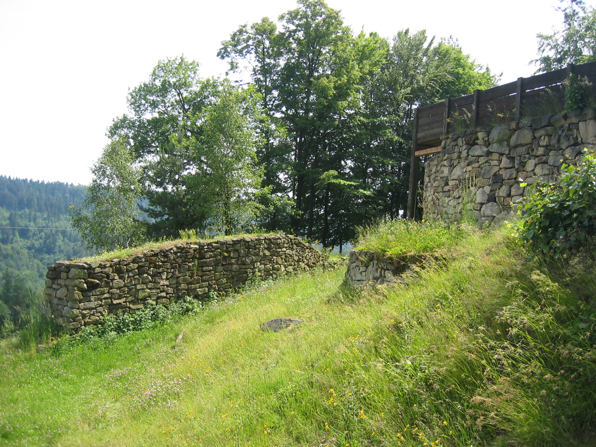
Heunischenburg
Monument and historic site · 4.8 km
Stone fortification


Oberes Schloss
Monument and historic site · 6.6 km
1 Kulmbacher Straße, Küps


51 more on the map.
Parks, trails and playgrounds14

Hallenbad Küps
Sports field and stadium · 6.7 km
7 Am Hirtengraben, Küps
Mo 18:00-20:00; Tu,Fr 18:00-21:00; We 18:30-20:30; Th 18:00-20:00;...

Crana Mare
Sports field and stadium · 0.7 km
Mo-Fr 06:30-20:00; Sa-Su 08:00-20:00; May-Sep

Landesgartenschau-Park
Park · 1.5 km
Gelände der Landesgartenschau 2002
2 more on the map.
Restaurants and cafes150
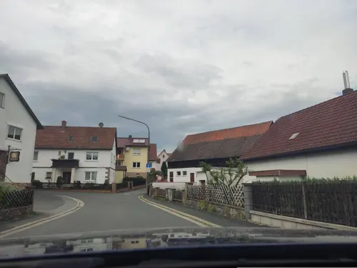
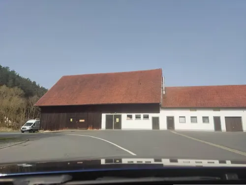

Waldschänke im Stübental
Restaurant · Bavarian, Regional · 2.1 km
4 Stüben, Kronach
We-Sa 17:00-22:00; Su 11:00-22:00
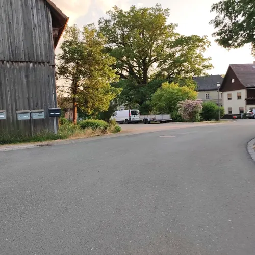
Zur Krone Seibelsdorf
Restaurant · Regional · 6.8 km
1 Vogtsplatz, Marktrodach
We 18:00-23:00; Fr 17:00-00:00; Sa 14:00-00:00; Su 11:00-24:00
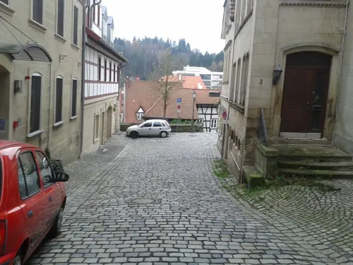

Café-Bar Karibik
Bar and pub
15 Stadtgraben, Kronach
We,Th,Su 11:00-22:00; Fr,Sa 11:00-23:30; Mo,Tu off
Gasthaus Sonnenschein im Appel´s Max
Restaurant · German · 0.8 km
We-Sa 11:00-14:00,17:00-22:00; Su 11:00-14:00,17:00-22:15
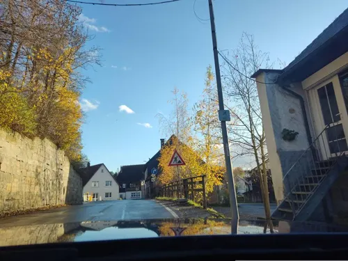
Gasthaus Zur Mühle
Restaurant · Regional · 4.4 km
10 Johann-Georg-Herzog-Straße, Weißenbrunn
We,Th 10:00-21:00; Fr,Sa 10:00-23:00; Su 10:00-20:30; Mo,Tu off
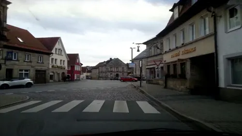


Remo’s Restaurant & Café
Restaurant · Pizza · 0.9 km
Mo-Fr 10:30-15:00,17:00-22:00; We 17:00-22:00; PH,Sa,Su 15:00-22:00
138 more on the map.
History
The area of Kronach has been occupied for millennia, and in the late Bronze Age, the Heunischenburg, the oldest known stone fortification north of the Alps, was built nearby.
Kronach was first mentioned in a chronicle of Thietmar of Merseburg in 1003 as urbs crana. In 1122, Holy Roman Emperor Henry V gifted Kronach and its surroundings (the praedium crana) to the Prince-Bishopric of Bamberg. Kronach remained part of the Prince-Bishopric until its secularization in 1803. The town's massive fortress originates from 1130, when Otto of Bamberg had a "stone house and tower" erected in Kronach. When Kronach gained town rights is unclear, but as its inhabitants were termed as "citizens" (cives) in a 1260 treaty, it can be assumed that it had attained rights before that date.
Kronach was put under siege by the Hussites in 1430. Although the defense was successful and the fortress remained unconquered, its inhabitants burned part of the town to block the invaders. This destruction caused discord among the town's Burghers, which was only resolved through the intervention of the Prince-Bishop in 1439 through the conference of privileges to the Upper Town of Kronach.
From the History section of Kronach on Wikipedia, under CC BY-SA 4.0.
Where to stay22
Churches and places of worship48
Annakapelle
Church · Catholic · 0.6 km
7 Melchior-Otto-Platz, Kronach
Sankt Johannes der Täufer
Church · Roman Catholic · 0.7 km
8 Melchior-Otto-Platz, Kronach
Shopping33
Gas and EV charging13
Schools, colleges and libraries23
Hochschule für angewandte Wissenschaften Coburg - Lucas-Cranach-Campus
School · 0.9 km
8 Güterstraße, Kronach
Healthcare10
Map of Kronach
250 places. The map loads OpenStreetMap tiles when you open it.
Getting there and nearby towns
Verkehrslandeplatz Bayreuth (BYU) is the nearest airport with scheduled flights listed in OpenStreetMap, 36 km away.
- Kulmbach 18 km southeast, about 18 min by car
- Neustadt bei Coburg 18 km northwest, about 18 min by car
- Lichtenfels 22 km southwest, about 22 min by car
- Bad Staffelstein 28 km southwest, about 28 min by car
- Münchberg 33 km east, about 33 min by car
- Hof 42 km east, about 42 min by car
- Schwarzenbach an der Saale 43 km east, about 43 min by car
- Rehau 50 km east, about 50 min by car
- Hirschaid 53 km southwest, about 53 min by car
- Wunsiedel 53 km southeast, about 53 min by car
Drive times are estimates from straight-line distance, not routes.
Local news
Headlines from INDB.
Reviews, tips and questions
Loading what members have shared...
Sources and licences
- GeoNames (CC BY 4.0): population, coordinates, regions and time zone
- Mapillary (see each image): photos
- OpenStreetMap contributors (ODbL 1.0): places, airports, map data
- Wikidata (CC0 1.0): elevation, founding date, time zone, website, landmarks and historic places
- Wikimedia Commons (see each image): photos
- Wikipedia (CC BY-SA 4.0): overview and history text
Photo credits
- Kronach - Stadtaufbau 2012 crop, Tors, CC BY-SA 3.0 de
- Heunischenburg, Stefan Wicklein, Kronach, CC BY-SA 3.0
- Kronach - Kulmbacher Straße 44 - Berufsfachschule für Musik Oberfranken, Tors, CC BY-SA 3.0 de
- Mittleres Schloss Küps (02), Presse03, CC BY-SA 3.0
- Kronach - Melchior-Otto-Platz - Ehrensäule - 2014-11, Tors, CC BY-SA 3.0 de
- HS-Coburg(Campus), Abhi.analyst, CC BY-SA 3.0
- Kronach - Melchior-Otto-Platz 7 - Annakapelle, Tors, CC0
- Lucas-Cranach-Turm, MetalMachine, CC BY 3.0
- Markgrafenkirche Seibelsdorf (2013), Albert Backer, CC BY-SA 3.0
- Küps - Oberes Schloss - 2023 - 1, Namenloser Hobbyhistoriker, CC BY-SA 4.0
- Kronach - Ehemalige Synagoge - 2014-08, Tors, CC BY-SA 3.0 de
- Kronach - Strauer Straße 12 - Christuskirche - 2013-08, Tors, CC BY-SA 3.0 de
- Küps - Pfarrkirche St. Jakob - 2023 - 1, Namenloser Hobbyhistoriker, CC BY-SA 4.0
- Kronach - Stadtpfarrkirche St. Johannes der Täufer, Tors, CC BY-SA 3.0
- Kronach - Kreisbibliothek - 2025, Namenloser Hobbyhistoriker, CC BY-SA 4.0
- Kronach - Schwedenstraße - Filmburg - 2025, Namenloser Hobbyhistoriker, CC BY-SA 4.0
- Kronach - Amtsgerichtsstraße 3 2014-03, Tors, CC BY-SA 3.0 de
- Kronach - Amtsgerichtsstraße 33 - 2014-11, Tors, CC BY-SA 3.0 de
- Kronach - Klosterkirche St. Petrus von Alcantara-2, Tors, CC BY-SA 3.0 de
- Kronach - Kulmbacher Straße 1-1, Tors, CC BY-SA 3.0 de
- Dörfles - Bildstock D-4-76-145-271 - 2025 - 2, Namenloser Hobbyhistoriker, CC BY-SA 4.0
- Kronach - Gehülz - Breitenloh 118 (MGK18482), Markus G. Klötzer, CC BY-SA 4.0
- Schmölz-St-Laurentius01, Störfix, CC BY-SA 3.0 de
- Kreuzberg - Kreuzschlepper - 2025, Namenloser Hobbyhistoriker, CC BY-SA 4.0
- Zeyern, St. Leonhard (38) retouched, File:Zeyern, St. Leonhard (38).jpg : Subbass1 derivative work: TeKaBe, CC BY-SA 4.0
- Weißenbrunn Zur Hl. Dreifaltigkeit, Benreis, CC BY 3.0
- Zeyerner Wand (MGK19083), Markus G. Klötzer, CC BY-SA 4.0
- Johannisthal-Johanniskirche, Störfix, CC BY-SA 3.0 de
- Burggrub - Schwedenstein - 2020, Kronach Fotos, CC BY-SA 4.0
- Kronach - Kreuzbergstraße 51 - Kreuzschlepper, Tors, CC BY-SA 3.0 de
- Unterrodach - Kreuzberg - Kreuzschlepper, Tors, CC BY-SA 3.0 de
- Dörfles - Bildstock D-4-76-145-278 - 2020, Kronach Fotos, CC BY-SA 4.0
- Neuses - Dreifaltigkeitsmarter - 2021, Kronach Fotos, CC BY-SA 4.0
- Dörfles - Bildstock Dörfles 15, Kronach Fotos, CC BY-SA 4.0
- Zeyerner Wand, Benreis, CC BY-SA 3.0
- Friesen-St-Georg01, Störfix, CC BY-SA 3.0 de
- Kronach - Ehrensäule - 1 - 2022, Namenloser Hobbyhistoriker, CC BY-SA 4.0
- Küps Neues Schloss 01, Presse03, CC BY-SA 3.0
- Küps-Jakobikirche, Störfix, CC BY-SA 3.0
- Kronach - Kulmbacher Straße 1 - 2021 - 4, Kronach Fotos, CC BY-SA 4.0
- Street-level photo, bingo67, CC BY-SA 4.0
- Street-level photo, bernd_niemann, CC BY-SA 4.0
- Street-level photo, bernd_niemann, CC BY-SA 4.0
- Street-level photo, bingo67, CC BY-SA 4.0
- Street-level photo, bingo67, CC BY-SA 4.0
- Street-level photo, msdess, CC BY-SA 4.0
- Street-level photo, lehestener, CC BY-SA 4.0
- Street-level photo, r66, CC BY-SA 4.0
- Street-level photo, lehestener, CC BY-SA 4.0
- Street-level photo, bernd_niemann, CC BY-SA 4.0
- Street-level photo, bernd_niemann, CC BY-SA 4.0
- Street-level photo, lehestener, CC BY-SA 4.0
- Street-level photo, bingo67, CC BY-SA 4.0
- Street-level photo, bingo67, CC BY-SA 4.0
- Street-level photo, bingo67, CC BY-SA 4.0
- Street-level photo, bingo67, CC BY-SA 4.0
- Street-level photo, bingo67, CC BY-SA 4.0
- Street-level photo, bingo67, CC BY-SA 4.0
- Street-level photo, bingo67, CC BY-SA 4.0
- Street-level photo, bingo67, CC BY-SA 4.0
- Street-level photo, wegavision, CC BY-SA 4.0
- Street-level photo, msdess, CC BY-SA 4.0
- Street-level photo, lehestener, CC BY-SA 4.0
- Street-level photo, r66, CC BY-SA 4.0
- Street-level photo, bernd_niemann, CC BY-SA 4.0
- Street-level photo, bingo67, CC BY-SA 4.0
- Street-level photo, bingo67, CC BY-SA 4.0
- Street-level photo, r66, CC BY-SA 4.0
- Street-level photo, msdess, CC BY-SA 4.0
- Street-level photo, bernd_niemann, CC BY-SA 4.0
- Street-level photo, bernd_niemann, CC BY-SA 4.0
- Street-level photo, r66, CC BY-SA 4.0
- Street-level photo, bernd_niemann, CC BY-SA 4.0
- Street-level photo, bernd_niemann, CC BY-SA 4.0
- Street-level photo, qgeb, CC BY-SA 4.0
- Street-level photo, bernd_niemann, CC BY-SA 4.0
- Street-level photo, lehestener, CC BY-SA 4.0
- Street-level photo, bingo67, CC BY-SA 4.0
- Street-level photo, lehestener, CC BY-SA 4.0
- Street-level photo, bingo67, CC BY-SA 4.0
- Street-level photo, bingo67, CC BY-SA 4.0
- Street-level photo, bingo67, CC BY-SA 4.0
- Street-level photo, r66, CC BY-SA 4.0
- Street-level photo, r66, CC BY-SA 4.0
- Street-level photo, bingo67, CC BY-SA 4.0


Page built November 8, 2026. Spotted a mistake? Tell us or suggest a place.