


Why visit Saarburg
Townapedia lists 70 museums and landmarks, 10 parks and trails, 75 places to eat, 18 places to stay and 17 attractions in and around town.
Highlights include Greifvogelpark Saarburg, Hofgut Serrig, Amüseum and Schloss Saarfels.
Weather in Saarburg
Forecast from MET Norway (CC BY 4.0). Full forecast
About Saarburg
Saarburg (German pronunciation: [ˈzaːɐ̯bʊʁk] , [ˈzaːɐ̯bʊʁç]) is a town of the Trier-Saarburg district, in the state of Rhineland-Palatinate, Germany, on the banks of the river Saar in the hilly country a few kilometres upstream from the Saar's junction with the Moselle. Now known as a tourist attraction, the river Leuk flows into the town centre and makes a spectacular drop of 18 metres before joining the larger Saar that bisects the town. The waterfall is the result of a 13th-century project to redirect the Leuk through the city centre.
From the Wikipedia article Saarburg (this version), under CC BY-SA 4.0.
Things to do17


Hofgut Serrig
Farm and orchard · 3.9 km
5 Domänensiedlung, Serrig
Tu-Fr 10:00-12:30, 15:00-18:00; Sa 09:00-13:00; Mo,PH off



5 more on the map.
Museums and landmarks70


Schloss Saarfels
Monument and historic site · 4.0 km
Großbürgerliches Weingut; auf zwei übereinanderliegenden Kellern aufgesockelte burgenromantische Hofanlage; ursprünglich eine Sektkellerei
37 Domänenstraße, Serrig
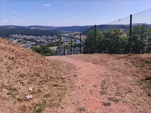
Sommerrodelbahn Saar-Rodel
Monument and historic site · 0.8 km
9 In den Urlaub
Easter -1 week - Oct 31 Tu-Su 11:00-18:00; Easter -1 week - Oct 31...


Mühlenmuseum Hackenberger Mühle
Museum · 0.6 km
Mo-Sa 09:30-18:30; Su,PH 11:00-18:00



58 more on the map.
Parks, trails and playgrounds10


Grillhütte
Park · 0.7 km
Abandoned, overgrown. Benches have rotted away. No place to sit, no tables. No place to grill.

Restaurants and cafes75

Mannebacher Brauhaus
Restaurant · Regional · 4.0 km
1 Hauptstraße, Mannebach
We-Sa 17:00-21:00; Su 12:00-21:00
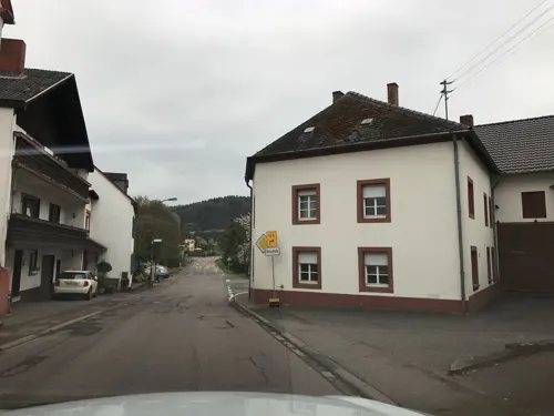
St. Erasmus
Restaurant · German · Roman Catholic · 3.7 km
Mitglied der Viezstraße / Route du Cidre
6a Kirchstraße, Trassem
Bahoz Pizza
Restaurant · Pizza
21 Graf-Siegfried-Straße, Saarburg
Mo-Fr 17:00-22:00, Sa-Su 13:00-22:00
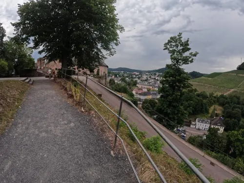
Burgrestaurant di Vincenzo Di Tuoro
Restaurant · Italian · 0.9 km
1 Auf dem Burgberg, Saarburg
11:30-22:00; Tu-We off
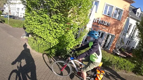
Fährhaus
Restaurant · German · 0.9 km
41 Staden, Saarburg
Mo-Fr 16:00-24:00; Sa 15:00-24:00; Su 11:00-24:00
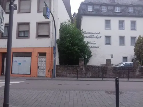

Wirtshaus mit Herz
Restaurant · German
23 Graf-Siegfried-Straße, Saarburg
We-Su 12:00-14:00,17:00-20:00
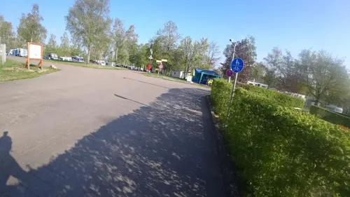
Woods Restaurant
Restaurant · Pizza, Burger, Coffee Shop, Kebab, German, Noodle, Turkish, Barbecue, Steak House, Salad, Wings, Fries · 1.6 km
1 Ferienpark Warsberg, Saarburg
Mo-Su 13:00-21:00
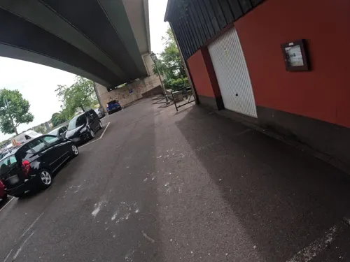


Alt Saarburg - Sem's Bar
Bar and pub · 0.8 km
27 Staden, Saarburg
Mo-We 17:00-23:00; Fr 13:00-01:00; Sa 13:00-02:00; Su 13:00-22:00

63 more on the map.
History
The history of the city begins with the construction of the now-ruined castle by Graf Siegfried of Luxembourg in 964. It received its town charter in 1291. The city has a bell foundry, the Glockengießerei Mabilion, which has been in operation since the 1770s, and as of 2003 the only one in Germany that produces bronze bells.
From 1945 to 1948 Saarburg was occupied by troops from Luxembourg. From 18 July 1946 to 6 June 1947 Onsdorf, in its then municipal boundary, formed part of the Saar Protectorate. French troops complemented the occupation until 1955.
Saarburg has a good history with bells.They are the producers of bells for many German cathedrals.
From the History section of Saarburg on Wikipedia, under CC BY-SA 4.0.
Where to stay18
Churches and places of worship24
Pfarrkirche St. Gervasius und Protasius
Church · Catholic · 3.5 km
1 Kirchgasse, Irsch
Shopping12
Gas and EV charging2
Schools, colleges and libraries8
Healthcare4
Map of Saarburg
240 places. The map loads OpenStreetMap tiles when you open it.
Getting there and nearby towns
Flugplatz Bitburg (BBJ) is the nearest airport with scheduled flights listed in OpenStreetMap, 38 km away.
- Konz 11 km north, about 11 min by car
- Saarhölzbach 11 km southeast, about 11 min by car
- Trier 18 km north, about 18 min by car
- Tarforst 18 km northeast, about 18 min by car
- Merzig 19 km south, about 19 min by car
- Weiskirchen 21 km east, about 21 min by car
- Beckingen 26 km southeast, about 26 min by car
- Wadern 26 km east, about 26 min by car
- Schmelz 29 km southeast, about 29 min by car
- Schweich 28 km northeast, about 28 min by car
Drive times are estimates from straight-line distance, not routes.
Local news
Headlines from INDB.
Reviews, tips and questions
Loading what members have shared...
Sources and licences
- GeoNames (CC BY 4.0): population, coordinates, regions and time zone
- Mapillary (see each image): photos
- OpenStreetMap contributors (ODbL 1.0): places, airports, map data
- Wikidata (CC0 1.0): elevation, founding date, time zone, website
- Wikimedia Commons (see each image): photos
- Wikipedia (CC BY-SA 4.0): overview and history text
Photo credits
- Saarburg - Sicht von Norden, Franzfoto, CC BY-SA 3.0
- Amt fuer Wiedergutmachung, Saarburg (Office for Correction) - geo.hlipp.de - 22411, Colin Smith on geo.hlipp.de, CC BY-SA 2.0
- Friedhof Saarburg 10, LoKiLeCh, CC BY-SA 4.0
- Friedhof Saarburg 8, LoKiLeCh, CC BY-SA 4.0
- Friedhof Saarburg 9, LoKiLeCh, CC BY-SA 4.0
- Friedhof Saarburg 14, LoKiLeCh, CC BY-SA 4.0
- Friedhof Saarburg 11, LoKiLeCh, CC BY-SA 4.0
- Friedhof Saarburg 13, LoKiLeCh, CC BY-SA 4.0
- Friedhof Saarburg 12, LoKiLeCh, CC BY-SA 4.0
- Friedhof Saarburg 15, LoKiLeCh, CC BY-SA 4.0
- Friedhof Saarburg, LoKiLeCh, CC BY-SA 4.0
- Friedhof Saarburg 18, LoKiLeCh, CC BY-SA 4.0
- Friedhof Saarburg 2, LoKiLeCh, CC BY-SA 4.0
- Friedhof Saarburg 16, LoKiLeCh, CC BY-SA 4.0
- Friedhof Saarburg 17, LoKiLeCh, CC BY-SA 4.0
- Friedhof Saarburg 3, LoKiLeCh, CC BY-SA 4.0
- Friedhof Saarburg 4, LoKiLeCh, CC BY-SA 4.0
- Friedhof Saarburg 5, LoKiLeCh, CC BY-SA 4.0
- Friedhof Saarburg 6, LoKiLeCh, CC BY-SA 4.0
- Friedhof Saarburg 7, LoKiLeCh, CC BY-SA 4.0
- Stolpersteinlage Saarburg Graf-Siegfried-Straße 39, Gmbo 2013, CC0
- Stolperstein Saarburg Graf-Siegfried-Straße 39 Alfred Kahn, Gmbo 2013, CC0
- Stolperstein Saarburg Graf-Siegfried-Straße 39 Meta Kahn, Gmbo 2013, CC0
- Stolperstein Saarburg Graf-Siegfried-Straße 39 Hilde Schmelzer, Gmbo 2013, CC0
- Stolperstein Saarburg Graf-Siegfried-Straße 39 Margot Schmelzer, Gmbo 2013, CC0
- Stolperstein Saarburg Graf-Siegfried-Straße 39 Heinrich Kahn, Gmbo 2013, CC0
- Stolpersteine Saarburg Graf-Siegfried-Straße 39, Gmbo 2013, CC0
- Saarburg along the Saar river is a very interesting small city - panoramio, Henk Monster, CC BY 3.0
- Saarburg BW 2020-07-29 14-45-58, Berthold Werner, CC BY-SA 4.0
- Saarburg BW 2020-07-29 14-45-24, Berthold Werner, CC BY-SA 4.0
- Saarburg, Marktapotheke und Hotel Saarburger Hof, Dguendel, CC BY 4.0
- Saarburg, Weingut Rheinhart, Dguendel, CC BY-SA 4.0
- Saarburg, das Rathaus, Dguendel, CC BY-SA 4.0
- Saarburg BW 2020-07-29 14-46-50, Berthold Werner, CC BY-SA 4.0
- Stolpersteine Saarburg Graf-Siegfried-Straße 28, Gmbo 2013, CC0
- Bismarckturm1, Rudolf Klein, CC BY-SA 3.0
- Wallfahrtskirche st marien-2, Wallfahrtskirche_st_marien.JPG : Klein R. (Rudolf Klein) at de.wikipedia derivative work: Rabanus Flavus ( talk ), CC BY-SA 3.0
- Gymnasium saarburg, Rudolf Klein, CC BY-SA 3.0
- EvangelischeKirche, Klein R. (Rudolf Klein) at de.wikipedia, CC BY-SA 3.0
- Stlaurentiuskirche, Klein R. (Rudolf Klein) at de.wikipedia, CC BY-SA 3.0
- Saarburg Duitsland - panoramio (14), Geert Budenaerts, CC BY 3.0
- AylSt.bartolomaeusH1b, Helge Klaus Rieder, CC0
- Irsch,Saarburg-StGervasius und Protasius, Knagsab, CC BY-SA 4.0
- AylBiebelhausenKapelleH1a, Helge Klaus Rieder, CC0
- Kahren, Kirche St. Matthias 20241026 (1), P170, CC BY-SA 4.0
- Weingut schloss saarfels, Rudolf Klein, CC BY-SA 3.0
- Blitzkreuz Irsch (bei Saarburg), Andy Dufresne & Red, CC BY-SA 4.0
- Jägerkreuz Fisch, Andy Dufresne & Red, CC BY-SA 4.0
- Serrig Schloss Saarstein, EPei, CC BY-SA 3.0
- Church in saarburg, Kobusnikola2001, CC BY-SA 4.0
- St Jakobs 20.01.2019, Andy Dufresne & Red, CC BY-SA 4.0
- Serrig, Katholische Pfarrkirche Sankt Martin Dm foto10 2017-05-29 10.38, Michielverbeek, CC BY-SA 4.0
- Bauer Kapelle Fisch, Andy Dufresne & Red, CC BY-SA 4.0
- Saarburg, über dem Wasserfall, Dguendel, CC BY 4.0
- Amüseum Saarburg 15, LoKiLeCh, CC BY-SA 4.0
- Street-level photo, jolenesailer, CC BY-SA 4.0
- Street-level photo, derzornigemarkus, CC BY-SA 4.0
- Street-level photo, vinisa, CC BY-SA 4.0
- Street-level photo, debigc, CC BY-SA 4.0
- Street-level photo, vinisa, CC BY-SA 4.0
- Street-level photo, jolenesailer, CC BY-SA 4.0
- Street-level photo, jolenesailer, CC BY-SA 4.0
- Street-level photo, teddy73, CC BY-SA 4.0
- Street-level photo, vinisa, CC BY-SA 4.0
- Street-level photo, lokilech, CC BY-SA 4.0
- Street-level photo, vinisa, CC BY-SA 4.0
- Street-level photo, marczoutendijk, CC BY-SA 4.0
- Street-level photo, vinisa, CC BY-SA 4.0
- Street-level photo, peewee32, CC BY-SA 4.0
- Street-level photo, vinisa, CC BY-SA 4.0
- Street-level photo, debigc, CC BY-SA 4.0
- Street-level photo, vinisa, CC BY-SA 4.0
- Street-level photo, peewee32, CC BY-SA 4.0
- Street-level photo, jolenesailer, CC BY-SA 4.0
- Street-level photo, debigc, CC BY-SA 4.0


Page built November 9, 2026. Spotted a mistake? Tell us or suggest a place.