


Why visit Schweich
Townapedia lists 95 museums and landmarks, 17 parks and trails, 80 places to eat, 10 places to stay and 30 attractions in and around town.
Highlights include Mehringer Berg, Burgberg, Neue Synagoge and Niederprümer Hof.
Weather in Schweich
Forecast from MET Norway (CC BY 4.0). Full forecast
About Schweich
Schweich (German pronunciation: [ʃvaɪç] ) is a town in the Trier-Saarburg district, in Rhineland-Palatinate, Germany. It is situated on the river Moselle, approx. 10 km (6.2 mi) northeast of Trier.
From the Wikipedia article Schweich (this version), under CC BY-SA 4.0.
Things to do30




18 more on the map.
Museums and landmarks95


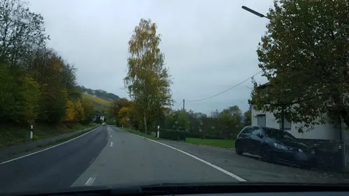





Schloss Quint
Monument and historic site · 3.2 km
140 Schloßstraße, Trier
Grabstein des Primulus (Kopie)
Monument and historic site · 4.0 km
Nachbildung Grabmal des Knaben Primulus (römisches Kindergrab) Original wurde 1862 in Föhren gefunden und befindet sich im Landesmuseum Trier
83 more on the map.
Parks, trails and playgrounds17


Erlebnisfreibad Schweich
Sports field and stadium · 0.7 km
May 15-Sep 10 Mo 10:00-19:00, May 15-Sep 10 Tu,We 07:00-19:00; May...



5 more on the map.
Restaurants and cafes80

Bistro48
Restaurant · Barbecue, German · 4.9 km
11 Auf Bowert, Bekond
Mo-Th 11:00-14:00,17:00-21:00; Fr-Su,PH off
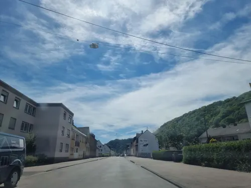
Di Vino
Restaurant · Italian · 4.0 km
47 Quinter Straße, Trier
Mo-We 17:30-21:00; Fr 17:30-22:00; Sa 17:00-22:00; Su...
La Fontana
Restaurant · Italian, Pizza
4 Steinerbaum, Schweich
Tu-Sa 11:30-14:30,18:00-23:00; Su,PH 12:00-22:00; Mo off
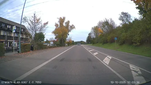
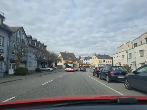
Pizzeria Adria
Restaurant · Italian · 3.5 km
1f Koblenzer Straße, Trier
Tu-Su,PH 11:00-14:00,17:30-23:00; Mo off
Restaurant Casa
Restaurant · International · 4.4 km
1 Bettemburgstraße, Trier
Mo-Tu,Fr-Sa 17:00-22:00; Su 12:00-15:00,17:00-22:00
Sole D'oro
Restaurant · Italian, Pizza · 0.7 km
4 Zum Schwimmbad, Schweich
Su,PH 11:30-23:00, Mo,We-Sa 11:30-14:00,17:30-23:00; Tu off


Bäckerei Dietz Ehranger Hafen
Cafe · 5.1 km
1b Schiffstraße, Trier
Mo-Fr 04:30-17:00; Sa 04:30-16:00; Su 07:30-16:00
68 more on the map.
Where to stay10
Churches and places of worship24
Shopping15
Gas and EV charging3
Schools, colleges and libraries13
Healthcare5
Map of Schweich
250 places. The map loads OpenStreetMap tiles when you open it.
Getting there and nearby towns
Spangdahlem Air Base (SPM) is the nearest airport with scheduled flights listed in OpenStreetMap, 18 km away.
- Tarforst 10 km southwest, about 10 min by car
- Trier 11 km southwest, about 11 min by car
- Konz 19 km southwest, about 19 min by car
- Wittlich 21 km northeast, about 21 min by car
- Bitburg 23 km northwest, about 23 min by car
- Morbach 27 km east, about 27 min by car
- Traben-Trarbach 30 km northeast, about 30 min by car
- Weiskirchen 31 km south, about 31 min by car
- Wadern 33 km south, about 33 min by car
- Nohfelden 38 km southeast, about 38 min by car
Drive times are estimates from straight-line distance, not routes.
Local news
Headlines from INDB.
Reviews, tips and questions
Loading what members have shared...
Sources and licences
- GeoNames (CC BY 4.0): population, coordinates, regions and time zone
- Mapillary (see each image): photos
- OpenStreetMap contributors (ODbL 1.0): places, airports, map data
- Wikidata (CC0 1.0): elevation, founding date, time zone, website
- Wikimedia Commons (see each image): photos
- Wikipedia (CC BY-SA 4.0): overview and history text
Photo credits
- Schweich01, Schweich, CC BY-SA 3.0
- Kennerflur03, Gete1, CC BY-SA 3.0
- Longuich, sogenannte Alte Burg 20130701, P170, CC BY-SA 4.0
- Schloss quint01, Meulenwald, CC BY-SA 3.0
- Schweich-ehemalige-synagoge, Schweich, CC BY-SA 3.0
- Grabmale-juedischer-friedhof-schweich01, Schweich, CC BY-SA 3.0
- St. Georg Schweich-Issel H3a, Helge Klaus Rieder, CC0
- Schweich, Katholische Pfarrkirche Sankt Martin Dm foto4 2017-05-29 21.00, Michielverbeek, CC BY-SA 4.0
- St. Peter, Trier-Ehrang, Michielverbeek, CC BY-SA 4.0
- Trier ehrang heidekapelleH2a, Helge Klaus Rieder, CC0
- Kenn pfarrkirche, Rsteinkampf, CC BY-SA 3.0
- Riol (Mosel) BW 2016-06-15 16-43-56, Berthold Werner, CC BY-SA 3.0
- Niederpruemer Hof 2006.05.21, Dr. Wolfgang Bohnen., Public domain
- Föhrener Ried, Viewmaster LX, CC BY-SA 4.0
- SchweichHeilbrunnenH5a, Helge Klaus Rieder, CC0
- EhrangKueferkapelleH1a, Helge Klaus Rieder, CC0
- Fastrau, Pater-August-Peltzer-Platz und Kirche St. Stephanus 20130701, P170, CC BY-SA 4.0
- Naturschutzgebiet Föhrener Ried, Viewmaster LX, CC BY-SA 4.0
- Street-level photo, Lowiekse, CC BY-SA 4.0
- Street-level photo, heetENkoel, CC BY-SA 4.0
- Street-level photo, ma_rt_in, CC BY-SA 4.0
- Street-level photo, ma_rt_in, CC BY-SA 4.0
- Street-level photo, ma_rt_in, CC BY-SA 4.0
- Street-level photo, ma_rt_in, CC BY-SA 4.0
- Street-level photo, Lowiekse, CC BY-SA 4.0
- Street-level photo, igdb, CC BY-SA 4.0
- Street-level photo, ma_rt_in, CC BY-SA 4.0
- Street-level photo, Lowiekse, CC BY-SA 4.0
- Street-level photo, Lowiekse, CC BY-SA 4.0
- Street-level photo, gpsvid, CC BY-SA 4.0
- Street-level photo, Lowiekse, CC BY-SA 4.0
- Street-level photo, peewee32, CC BY-SA 4.0
- Street-level photo, gpsvid, CC BY-SA 4.0
- Street-level photo, Lowiekse, CC BY-SA 4.0
- Street-level photo, miguel_andrade, CC BY-SA 4.0
- Street-level photo, ma_rt_in, CC BY-SA 4.0
- Street-level photo, ma_rt_in, CC BY-SA 4.0
- Street-level photo, Lowiekse, CC BY-SA 4.0
- Street-level photo, ma_rt_in, CC BY-SA 4.0


Page built November 9, 2026. Spotted a mistake? Tell us or suggest a place.