


Why visit Schellerten
Townapedia lists 13 museums and landmarks, 16 parks and trails, 32 places to eat, 4 places to stay and 8 attractions in and around town.
Highlights include Heidelbeerenberg, Ilsenberg, Heimatmuseum and Kreuzweg.
Weather in Schellerten
Forecast from MET Norway (CC BY 4.0). Full forecast
About Schellerten
Schellerten is a village and a municipality in the district of Hildesheim, in Lower Saxony, Germany. It is situated approximately 10 km east of Hildesheim.
From the Wikipedia article Schellerten (this version), under CC BY-SA 4.0.
Things to do8


Museums and landmarks13

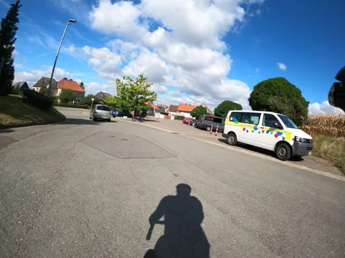


1 more on the map.
Parks, trails and playgrounds16




4 more on the map.
Restaurants and cafes32
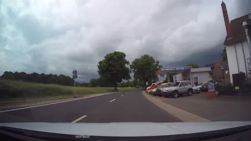
Meteora
Restaurant · Greek · 6.5 km
4 Goslarsche Landstraße
We-Sa 17:00-22:00; Su 11:30-14:30, 17:00-22:00
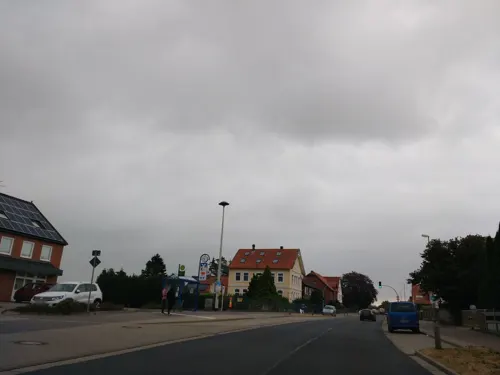
Restaurant SYRTAKI
Restaurant · Greek
20 Berliner Straße, Schellerten
Tu-Sa 17:00-22:00; Su 12:00-15:00, 17:00-22:00

Bistro-Restaurant Weiße Taube
Restaurant · 6.9 km
3 Marktstraße, Söhlde
Tu-Th 11:30-22:00; Fr,Sa 11:30-22:30; Su 12:00-21:30
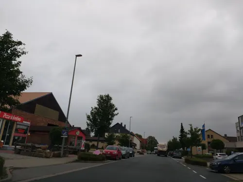
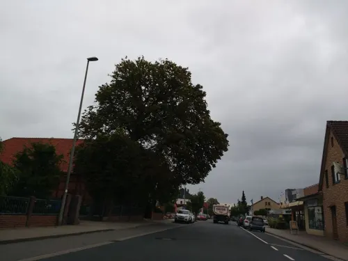
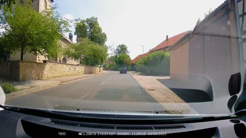
Landgasthaus Willke
Restaurant · German · 6.7 km
1 Am Hohen Turm, Harsum
Mo-Sa 17:00-24:00; Tu off; Su 11:00-14:00,17:00-24:00
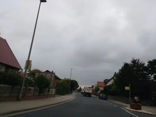
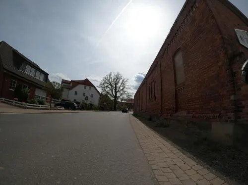
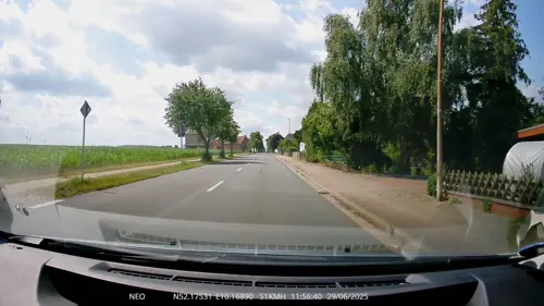
Vereinsheim Bettrum
Restaurant · Regional, German · 4.7 km
9 Am Mühlenberg, Söhlde
Fr-Su 17:00-23:00
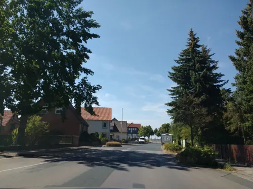



Schäfer's
Bakery
1 Über der Wasserfurche, Schellerten
Mo-Sa 06:30-19:00

Hofcafe im Obstgarten
Cafe · 4.9 km
5 Oberdorf, Söhlde
Sa,Su 14:00-18:00; PH 14:00-18:00
20 more on the map.
Where to stay4
Churches and places of worship37
Sankt Matthias
Church · Roman Catholic · 4.6 km
29 Matthiasstraße, Harsum
Sankt Bernward
Church · Roman Catholic · 6.7 km
20 Heinrich-Aue-Straße, Harsum
Shopping10
Gas and EV charging9
Schools, colleges and libraries5
Healthcare2
Map of Schellerten
136 places. The map loads OpenStreetMap tiles when you open it.
Getting there and nearby towns
Forschungsflughafen Braunschweig-Wolfsburg (BWE) is the nearest airport with scheduled flights listed in OpenStreetMap, 34 km away.
- Söhlde 9 km east, about 9 min by car
- Harsum 10 km west, about 10 min by car
- Hildesheim 11 km west, about 11 min by car
- Ilsede 11 km northeast, about 11 min by car
- Lengede 14 km east, about 14 min by car
- Bad Salzdetfurth 16 km southwest, about 16 min by car
- Peine 17 km northeast, about 17 min by car
- Sehnde 17 km northwest, about 17 min by car
- Sarstedt 18 km west, about 18 min by car
- Salzgitter 22 km east, about 22 min by car
Drive times are estimates from straight-line distance, not routes.
Local news
Headlines from INDB.
Reviews, tips and questions
Loading what members have shared...
Sources and licences
- GeoNames (CC BY 4.0): population, coordinates, regions and time zone
- Mapillary (see each image): photos
- OpenStreetMap contributors (ODbL 1.0): places, airports, map data
- Wikidata (CC0 1.0): elevation, founding date, time zone, website, landmarks and historic places
- Wikimedia Commons (see each image): photos
- Wikipedia (CC BY-SA 4.0): overview and history text
Photo credits
- Schellerten 039, Torbenbrinker, CC BY-SA 3.0
- Schellerten, Kirche Kanzelaltar, Hilmschen, CC BY-SA 4.0
- Schellerten, Kirche, Hilmschen, CC BY-SA 4.0
- Schellerten OT Kemme, St. Georg innen, Hilmschen, CC BY-SA 4.0
- 1000 Kulturwissenschaftler aus der gesamten Bundesrepublik studieren auf dem Kulturcampus Domaene Marienburg der Stiftung Universität Hildesheim. Foto Isa Lange, Universität Hildesheim, Isa Lange, CC BY-SA 3.0
- St.-Martinus-Kirche (Borsum)2, Rabanus Flavus, Public domain
- Hüddessum Kirche SO, Kirchenfan, CC0
- Hoennersum Bernward 2015, Kirchenfan, CC0
- Wöhle Kirche SW, Kirchenfan, CC0
- Adlum Kirche 2, Kirchenfan, CC0
- Nettlingen Kirche kath, Kirchenfan, CC0
- Schloss Nettlingen Seite, Axel Hindemith, CC BY 3.0
- Cosmas und Damian-Kirche in Rautenberg (Harsum) IMG 5089, Losch, CC BY-SA 3.0
- St.-Thomas-Kirche (Wendhausen), Torbenbrinker, CC BY-SA 3.0
- Kirche (PICT3473 part+1009x768), Hansjoerg G. Henker ( BitH ), Attribution
- Kirche Bettrum, Thomas Binder, CC BY-SA 4.0
- Oedelum, Kirche, Hilmschen, CC BY-SA 4.0
- Borsum Kirche 2010, Kirchenfan, CC0
- Hüddessum Kirche SW, Kirchenfan, CC0
- Hönnersum Kirche, Kirchenfan, CC0
- Street-level photo, thetornado76, CC BY-SA 4.0
- Street-level photo, Schmarvis, CC BY-SA 4.0
- Street-level photo, aceini, CC BY-SA 4.0
- Street-level photo, TechniPorter, CC BY-SA 4.0
- Street-level photo, thetornado76, CC BY-SA 4.0
- Street-level photo, thetornado76, CC BY-SA 4.0
- Street-level photo, TechniPorter, CC BY-SA 4.0
- Street-level photo, aceini, CC BY-SA 4.0
- Street-level photo, StefanS79, CC BY-SA 4.0
- Street-level photo, bct, CC BY-SA 4.0
- Street-level photo, aceini, CC BY-SA 4.0
- Street-level photo, Langfahrer, CC BY-SA 4.0
- Street-level photo, aceini, CC BY-SA 4.0
- Street-level photo, TechniPorter, CC BY-SA 4.0
- Street-level photo, skjall, CC BY-SA 4.0
- Street-level photo, changchun1, CC BY-SA 4.0
- Street-level photo, thetornado76, CC BY-SA 4.0
- Street-level photo, Langfahrer, CC BY-SA 4.0
- Street-level photo, thetornado76, CC BY-SA 4.0
- Street-level photo, thetornado76, CC BY-SA 4.0
- Street-level photo, thetornado76, CC BY-SA 4.0
- Street-level photo, Langfahrer, CC BY-SA 4.0
- Street-level photo, TechniPorter, CC BY-SA 4.0
- Street-level photo, Langfahrer, CC BY-SA 4.0
- Street-level photo, aceini, CC BY-SA 4.0


Page built November 9, 2026. Spotted a mistake? Tell us or suggest a place.