


Why visit Selters
Townapedia lists 24 museums and landmarks, 4 parks and trails, 18 places to eat, 1 place to stay and 2 attractions in and around town.
Highlights include Hofladen Wagener, Rosenhang Museum and Laneburg.
Weather in Selters
Forecast from MET Norway (CC BY 4.0). Full forecast
About Selters
Selters (German pronunciation: [ˈzɛltɐs] ) is a village in the district Limburg-Weilburg, Hesse, Germany. It is situated at the Taunus side of the river Lahn and belongs to the municipality Löhnberg. The village has a total population of 319.
From the Wikipedia article Selters (Lahn) (this version), under CC BY-SA 4.0.
Things to do2


Museums and landmarks24
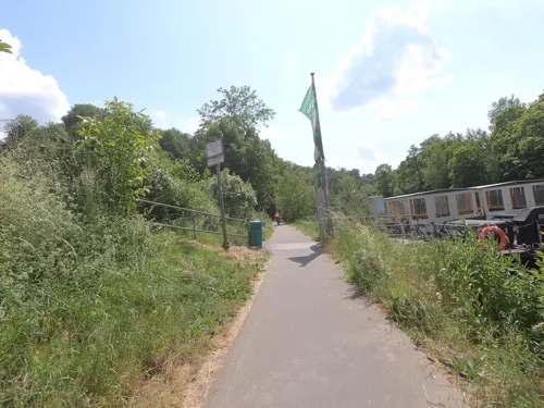
Rosenhang Museum
Museum · 3.6 km
Contemporary art museum in Weilburg, Germany

Laneburg
Monument and historic site · 1.1 km
9 Schloßstraße, Löhnberg


12 more on the map.
Parks, trails and playgrounds4

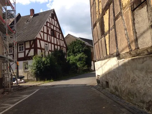

Restaurants and cafes18

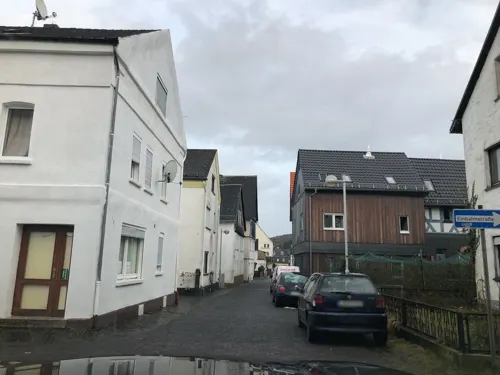
Landgasthof Bei Kleins
Restaurant · Regional · 1.4 km
7 Vorderstraße, Löhnberg
Mo,We-Fr 17:00-23:00, Sa-Su 17:30-23:00, Su 12:00-14:00
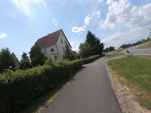
Hotel Zur Krone
Restaurant · 1.5 km
1 Obertorstraße, Löhnberg
Mo-Sa 17:00-01:00, Su 11:00-15:00,17:00-00:00

Bölzer
Bakery · 2.4 km
4 Schulstraße, Leun
Mo-Sa 06:00-12:00; Tu 06:00-12:00,14:00-18:00; Su 07:00-10:30,14:00-17:30
Die Mühlenbäcker
Bakery · 1.6 km
2 Grüner Weg, Löhnberg
Mo-Sa 06:00-20:00; Su,PH 07:00-17:00
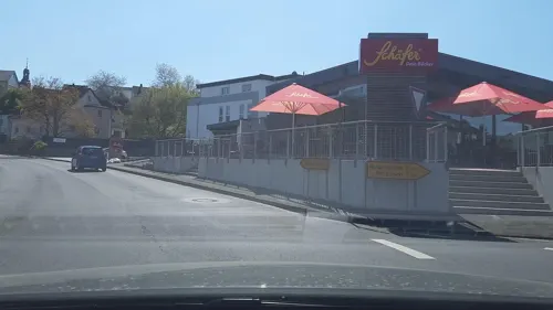


6 more on the map.
History
The ancient Romans (who occupied Germany between 50 B.C. and 475 AD) called the places where water emerged from underground Aqua Saltare (Latin for 'dancing water'). This name was applied to the town and then borrowed into German as Selters. Franks formally settled in the area as early as 500 AD, and was mentioned by writing for the first time in 1317 as Selters an der Lahn.
The Laneberg castle, built in the capital of the Löhnberg region, was constructed by John, Count of Nassau-Dillenburg between 1321 and 1324. The castle ruins are unusual in surviving, as most buildings burned down in a fire in 1538.
Selters later received a parish in 1694, led by pastor Johann Bosen. Being made out of wood, the church was later damaged during another fire in 1706, leading pastor J. G. Haybach to build a new church, which began construction in 1731 by carpenter J. A. Klöckner.
In 1815, the town straddled the border of the Duchy of Nassau and the Kingdom of Prussia. The town was part of the Wetzlar district in Prussia and bordered Braunfels in the neighboring Rhine Province until 1932, when borders in Germany were redrawn.
In 1974, municipal reform in Hesse required that Selters join the Löhnberg municipality.
From the History section of Selters (Lahn) on Wikipedia, under CC BY-SA 4.0.
Where to stay1
Churches and places of worship6
Shopping6
Gas and EV charging2
Schools, colleges and libraries3
Healthcare3
Map of Selters
69 places. The map loads OpenStreetMap tiles when you open it.
Getting there and nearby towns
Siegerlandflughafen (SGE) is the nearest airport with scheduled flights listed in OpenStreetMap, 26 km away.
- Weilburg 4 km southwest, about 4 min by car
- Braunfels 7 km east, about 7 min by car
- Solms 9 km east, about 9 min by car
- Weilmünster 11 km southeast, about 11 min by car
- Aßlar 15 km northeast, about 15 min by car
- Sinn 15 km north, about 15 min by car
- Wetzlar 16 km east, about 16 min by car
- Villmar 15 km southwest, about 15 min by car
- Herborn 18 km north, about 18 min by car
- Hadamar 19 km southwest, about 19 min by car
Drive times are estimates from straight-line distance, not routes.
Local news
Headlines from INDB.
Reviews, tips and questions
Loading what members have shared...
Sources and licences
- GeoNames (CC BY 4.0): population, coordinates, regions and time zone
- Mapillary (see each image): photos
- OpenStreetMap contributors (ODbL 1.0): places, airports, map data
- Wikidata (CC0 1.0): elevation, founding date, time zone, website, landmarks and historic places
- Wikimedia Commons (see each image): photos
- Wikipedia (CC BY-SA 4.0): overview and history text
Photo credits
- Loehnberg selters mineralquelle 20100917, Emha /Manuel Heinrich, CC BY 3.0
- Weilburg-Drommershausen WLMMH 52479 by Stepro IMG 1101, Steffen Prößdorf, CC BY-SA 3.0 de
- Löhnberg LMMH 51375 by Stepro IMG 1355, Steffen Prößdorf, CC BY-SA 3.0 de
- Stolperstein Leun Leopold Kahn, Meikel1965, CC BY-SA 4.0
- Stolperstein Leun Eichenwald Adolf, Meikel1965, CC BY-SA 4.0
- Stolperstein Leun Eichenwald Helmut, Meikel1965, CC BY-SA 4.0
- Stolperstein Leun Heymann Isidor, Meikel1965, CC BY-SA 4.0
- Stolperstein Leun Heymann Jakob, Meikel1965, CC BY-SA 4.0
- Stolperstein Leun Ludwig Albert Jakob, Meikel1965, CC BY-SA 4.0
- Stolperstein Leun Jakob Julie Julia, Meikel1965, CC BY-SA 4.0
- Stolperstein Leun Kurt Siegmund Manasse, Meikel1965, CC BY-SA 4.0
- Stolperstein Leun Max Manasse, Meikel1965, CC BY-SA 4.0
- Stolperstein Leun Moritz Manasse, Meikel1965, CC BY-SA 4.0
- Laneburg-JR-G6-4553-2010-05-22, Johannes Robalotoff, CC BY-SA 3.0 de
- Weilburg-Drommershausen, Kirche, Karsten Ratzke, CC0
- Loehnberg laneburg 20100917, Emha, CC BY-SA 3.0 de
- Löhnberg (DerHexer) WLMMH 51383 2011-09-22 04, DerHexer , Wikimedia Commons, CC BY-SA 4.0
- Löhnberg (DerHexer) WLMMH 51383 2011-09-22 03, DerHexer , Wikimedia Commons, CC BY-SA 4.0
- Löhnberg (DerHexer) WLMMH 51383 2011-09-22 02, DerHexer , Wikimedia Commons, CC BY-SA 4.0
- Löhnberg (DerHexer) WLMMH 51383 2011-09-22 01, DerHexer , Wikimedia Commons, CC BY-SA 4.0
- Weilburg-Ahausen (DerHexer) WLMMH 51398 2011-09-20 03, DerHexer , Wikimedia Commons, CC BY-SA 4.0
- Weilburg-Ahausen (DerHexer) WLMMH 51398 2011-09-20 07, DerHexer , Wikimedia Commons, CC BY-SA 4.0
- Weilburg-Ahausen (DerHexer) WLMMH 51398 2011-09-20 06, DerHexer , Wikimedia Commons, CC BY-SA 4.0
- Weilburg-Ahausen (DerHexer) WLMMH 51398 2011-09-20 05, DerHexer , Wikimedia Commons, CC BY-SA 4.0
- Weilburg-Ahausen (DerHexer) WLMMH 51398 2011-09-20 04, DerHexer , Wikimedia Commons, CC BY-SA 4.0
- Weilburg-Ahausen (DerHexer) WLMMH 51398 2011-09-20 02, DerHexer , Wikimedia Commons, CC BY-SA 4.0
- Weilburg-Ahausen (DerHexer) WLMMH 51398 2011-09-20 09, DerHexer , Wikimedia Commons, CC BY-SA 4.0
- Weilburg-Ahausen (DerHexer) WLMMH 51398 2011-09-20 08, DerHexer , Wikimedia Commons, CC BY-SA 4.0
- Weilburg-Ahausen (DerHexer) WLMMH 51398 2011-09-20 12, DerHexer , Wikimedia Commons, CC BY-SA 4.0
- Weilburg-Ahausen (DerHexer) WLMMH 51398 2011-09-20 10, DerHexer , Wikimedia Commons, CC BY-SA 4.0
- Weilburg-Ahausen (DerHexer) WLMMH 51398 2011-09-20 11, DerHexer , Wikimedia Commons, CC BY-SA 4.0
- Weilburg-Ahausen (DerHexer) WLMMH 51398 2011-09-20 13, DerHexer , Wikimedia Commons, CC BY-SA 4.0
- Weilburg-Ahausen (DerHexer) WLMMH 51398 2011-09-20 01, DerHexer , Wikimedia Commons, CC BY-SA 4.0
- Lahn bei Löhnberg, Muck, CC BY-SA 4.0
- Löhnberg (DerHexer) WLMMH 51400 2011-09-22 07, DerHexer , Wikimedia Commons, CC BY-SA 4.0
- Löhnberg (DerHexer) WLMMH 51400 2011-09-22 05, DerHexer , Wikimedia Commons, CC BY-SA 4.0
- Löhnberg (DerHexer) WLMMH 51400 2011-09-22 06, DerHexer , Wikimedia Commons, CC BY-SA 4.0
- Löhnberg (DerHexer) WLMMH 51400 2011-09-22 03, DerHexer , Wikimedia Commons, CC BY-SA 4.0
- Löhnberg (DerHexer) WLMMH 51400 2011-09-22 04, DerHexer , Wikimedia Commons, CC BY-SA 4.0
- Löhnberg (DerHexer) WLMMH 51400 2011-09-22 02, DerHexer , Wikimedia Commons, CC BY-SA 4.0
- Street-level photo, derzornigemarkus, CC BY-SA 4.0
- Street-level photo, lllooommm, CC BY-SA 4.0
- Street-level photo, grinninghamster, CC BY-SA 4.0
- Street-level photo, lllooommm, CC BY-SA 4.0
- Street-level photo, lllooommm, CC BY-SA 4.0
- Street-level photo, derzornigemarkus, CC BY-SA 4.0
- Street-level photo, troher15, CC BY-SA 4.0
- Street-level photo, grinninghamster, CC BY-SA 4.0
- Street-level photo, grinninghamster, CC BY-SA 4.0
- Street-level photo, troher15, CC BY-SA 4.0
- Street-level photo, troher15, CC BY-SA 4.0
- Street-level photo, troher15, CC BY-SA 4.0
- Street-level photo, lllooommm, CC BY-SA 4.0
- Street-level photo, troher15, CC BY-SA 4.0
- Street-level photo, troher15, CC BY-SA 4.0
- Street-level photo, derzornigemarkus, CC BY-SA 4.0
- Street-level photo, troher15, CC BY-SA 4.0
- Street-level photo, troher15, CC BY-SA 4.0


Page built November 9, 2026. Spotted a mistake? Tell us or suggest a place.