


Why visit Weilmünster
Townapedia lists 71 museums and landmarks, 14 parks and trails, 25 places to eat, 3 places to stay and 24 attractions in and around town.
Highlights include Wildpark Tiergarten Weilburg, Freilichtbühne Bonbaden, Eisenerz-Schächte and Kirbergturm.
Weather in Weilmünster
Forecast from MET Norway (CC BY 4.0). Full forecast
About Weilmünster
Weilmünster is a municipality in Limburg-Weilburg district in Hesse, Germany.
From the Wikipedia article Weilmünster (this version), under CC BY-SA 4.0.
Things to do24

Wildpark Tiergarten Weilburg
Zoo and aquarium · 6.8 km
Mar-Oct Mo-Su,PH 09:00-18:00; Nov-Feb Mo-Su,PH 09:00-16:30
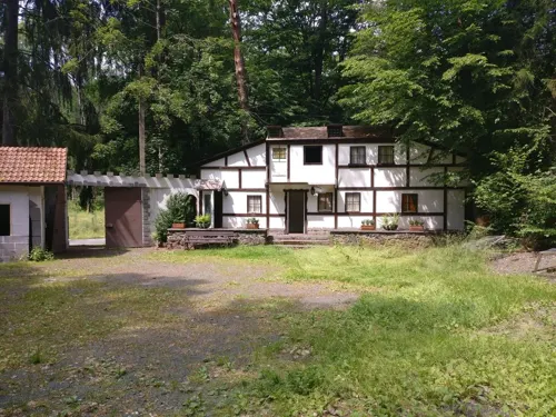

Rathsbacher Hof
Farm and orchard · 2.8 km
1 Aulenhäuser Weg, Weilmünster
Tu 10:00-12:00,16:00-18:00; Th 16:00-18:00; Fr...



12 more on the map.
Museums and landmarks71


Kirbergturm
Monument and historic site
Wachturm der alten Stadmauer
May-Sep Sa-Su 10:00-17:00

Kubacher Kristallhöhle
Monument and historic site · 6.7 km
Mar 30-Nov 10: Mo-Fr 15:00-17:00; Sa-Su 10:00-17:00

Burg Elkerhausen
Monument and historic site · 6.8 km
18 Burgring, Weinbach
Hühnerküppel
Monument and historic site · 3.7 km
Mountain in Hesse, Germany

Lern- und Erinnerungsort Weilmünster
Museum · 1.3 km
Die frühere Landesheilanstalt Weilmünster war ein zentraler Tatort der nationalsozialistischen Krankenmorde in Hessen.
Sa[1] 14:00-18:00
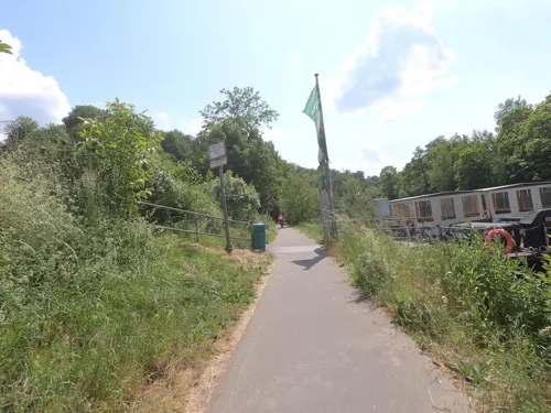
Rosenhang Museum
Museum · 9.8 km
Contemporary art museum in Weilburg, Germany
Stollen (Grube Mehlbach)
Monument and historic site · 3.1 km
Alter Stollen, nur noch Pinge und Versturzrinne sichtbar
59 more on the map.
Parks, trails and playgrounds14



Park im Zentrum Weilmünster
Park
Park mit Spielplatz, Picknickeinheiten und Baumlehrpfad

2 more on the map.
Restaurants and cafes25
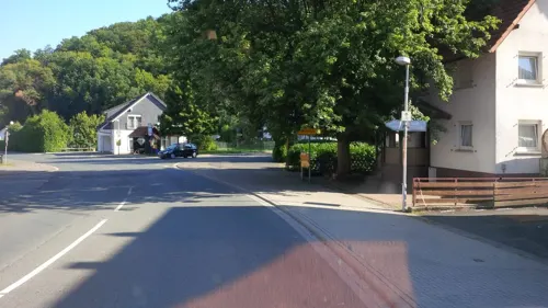

Gasthaus Zum Iserbachtal
Restaurant · German · 3.7 km
3 Bornstraße, Weilmünster
Mo,We-Sa 17:00+; Su 11:00+; Tu off
Kubacher Hof
Restaurant · German · 7.0 km
58 Hauptstraße, Weilburg
Tu-Sa 17:00+; Su 11:30-14:00,17:00+; Mo off
Landgasthof Zur Bernstadt
Restaurant · German · 7.3 km
3 Quembachallee, Schöffengrund
Tu-Sa 17:30-21:30; Su 11:30-14:00,17:30-21:30
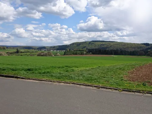
Pizzeria Vesuvio
Restaurant · Italian, Pizza, Noodle · 6.7 km
1 Auf dem Kalk, Weilburg
Tu-Fr 14:00-22:00; Sa-Su 11:30-22:00
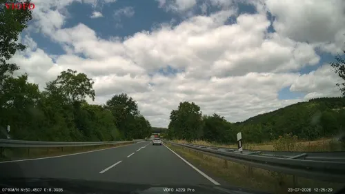
Zoe's
Restaurant · Greek · 7.0 km
29 Bornbachstraße, Weilmünster
Mo-Tu 17:30-22:30, Th-Fr 17:30-22:30, Sa 17:30-23:00, Su...
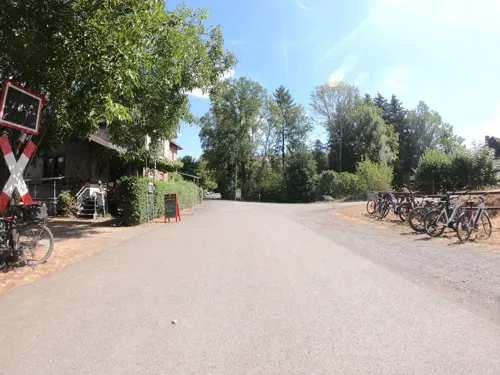


Biergarten Freienfels
Bar and pub · 6.6 km
Der gemütliche und in ruhiger Lage gelegene Biergarten am alten Bahnhof Freienfels läd als Zwischenstop einer Tour oder als Aufenthalt...
15a Mühlwiese, Weinbach
Fr-Su,PH 12:00-22:00
Zur Bergschänke
Restaurant · 7.1 km
2 Nirnbergstraße, Braunfels
Th-Tu

Bäckerei Simon
Bakery · 6.6 km
Mo-Sa 07:00-20:00; Su 07:00-11:00
13 more on the map.
History
In 1217, Weilmünster had its first documentary mention as Wilmunstre. It was, however, by this time already a sizeable village with its own church. History hints that the Fulda Monastery, which had holdings in the village, had this church built sometime in the 9th century. The church that stands today was built in the early 16th century, and its square defensive tower sometime around 1300. As of 1601, a regular market is known to have been being held in Weilmünster. The community belonged to Nassau, and after the division of inheritance to Nassau-Weilburg. From 1806 it belonged to the Duchy of Nassau. In 1866 it passed to Prussia, becoming part of the Province of Hesse-Nassau.
Industrialization began early. In the early 16th century there was an ironworks with a blast furnace in Weilmünster. Later came foundries and other metalworking businesses. This industrial development, however, was short-lived. While the road through the Lahn valley was expanded and the Lahn was channelled, Weilmünster, which lay off these arteries, fell behind. The building of the Weilstraße (“Weil Road”) in 1860 came too late, and the railway only reached Weilmünster in 1908.
From the History section of Weilmünster on Wikipedia, under CC BY-SA 4.0.
Where to stay3
Churches and places of worship20
Evangelische Kirche
Church · Protestant · 7.0 km
7 Kirchstraße, Waldsolms
Evangelische Kirche Emmershausen
Church · Protestant · 7.4 km
2 Bangertstraße, Weilrod
Shopping5
Gas and EV charging4
Schools, colleges and libraries3
Healthcare3
Krankenhaus Weilburg - Klinik für Neurologie
Hospital · 1.3 km
10 Weilstraße, Weilmünster
Map of Weilmünster
172 places. The map loads OpenStreetMap tiles when you open it.
Getting there and nearby towns
Siegerlandflughafen (SGE) is the nearest airport with scheduled flights listed in OpenStreetMap, 37 km away.
- Braunfels 9 km north, about 9 min by car
- Weilburg 10 km northwest, about 10 min by car
- Solms 12 km north, about 12 min by car
- Neu-Anspach 15 km southeast, about 15 min by car
- Usingen 16 km southeast, about 16 min by car
- Bad Camberg 17 km southwest, about 17 min by car
- Wetzlar 17 km northeast, about 17 min by car
- Aßlar 19 km north, about 19 min by car
- Wehrheim 20 km southeast, about 20 min by car
- Butzbach 21 km east, about 21 min by car
Drive times are estimates from straight-line distance, not routes.
Local news
Headlines from INDB.
Reviews, tips and questions
Loading what members have shared...
Sources and licences
- GeoNames (CC BY 4.0): population, coordinates, regions and time zone
- Mapillary (see each image): photos
- OpenStreetMap contributors (ODbL 1.0): places, airports, map data
- Wikidata (CC0 1.0): elevation, founding date, time zone, website, landmarks and historic places
- Wikimedia Commons (see each image): photos
- Wikipedia (CC BY-SA 4.0): overview and history text
Photo credits
- Weilmünster, Rathaus, Karsten11, Public domain
- Weil Marktplatz Weilmünster, CH WLM, CC BY-SA 4.0
- Weilmünster, Sparkasse, Karsten Ratzke, CC0
- Weilmünster, katholische Dreifaltigkeits-Kirche, Karsten Ratzke, CC0
- Kirbergtunnel Weilmünster, CH WLM, CC BY-SA 4.0
- Friedhof Klinikum Weilmünster, CH WLM, CC BY-SA 4.0
- DSC05956 Ferdinandstollen bei Essershausen Weilmünster - Innenansicht Mundloch, Agricolax, CC BY-SA 4.0
- Weilmünster, evangelische Kirche, Karsten11, Public domain
- Ernsthausen, Kirche, Karsten Ratzke, CC0
- Luthmer III-031-Elkershausen Reste der Burg, Ferdinand Luthmer, Public domain
- Evang Kirche Graevenwiesbach, Emmaus, CC BY-SA 3.0
- Weilburg kubach kristallhoehle wikipedianer 20100821, Emha /Manuel Heinrich, CC BY-SA 3.0
- Rote Küppel bei Wolfenhausen im Taunus, Hintertaunus at German Wikipedia, Public domain
- Weilburg-Kubach (DerHexer) WLMMH 52511 2011-09-20 04, DerHexer , Wikimedia Commons, CC BY-SA 4.0
- Dietenhausen, Kirche, Karsten Ratzke, CC0
- Essershausen, Kirche, Karsten Ratzke, CC0
- Kröffelbach, Kirche (1), Karsten Ratzke, CC0
- Niederquembach, Evangelische Kirche, Karsten Ratzke, CC0
- Emmershausen, Kirche, Karsten11, Public domain
- Perlsinter Kubacher Kristallhöhle, Montanwerk, CC BY-SA 4.0
- Weilburg - Tiergarten - Dillhäuser Bauernhaus, Oliver Abels ( SBT ), CC BY-SA 3.0
- Kröffelbach, Kirche (3), Karsten Ratzke, CC0
- Kirbergturm-02, Muck, CC BY-SA 4.0
- Kirbergturm-01, Muck, CC BY-SA 4.0
- Kirbergturm-03, Muck, CC BY-SA 4.0
- DSC03237 Stollen Grube Mehlbach, Agricolax, CC BY-SA 4.0
- DSC03239 Stollen Grube Mehlbach, Agricolax, CC BY-SA 4.0
- DSC03276 Schacht Grube Mehlbach, Agricolax, CC BY-SA 4.0
- DSC03244 Schacht Grube Mehlbach, Agricolax, CC BY-SA 4.0
- DSC03280 Schacht Grube Mehlbach, Agricolax, CC BY-SA 4.0
- Lambachpumpe, Rohnstadt, CC BY-SA 3.0
- DSC03273 Stollen Grube Mehlbach, Agricolax, CC BY-SA 4.0
- Audenschmiede, Friedhof, Karsten Ratzke, CC0
- Audenschmiede, Friedhof (2), Karsten Ratzke, CC0
- Audenschmiede, Friedhof, Grab Buderus, Karsten Ratzke, CC0
- Audenschmiede, Friedhof, Grab Buderus (2), Karsten Ratzke, CC0
- Audenschmiede, Friedhof, Grab Buderus (1), Karsten Ratzke, CC0
- Audenschmiede, Friedhof (1), Karsten Ratzke, CC0
- 20190302 113932 Schurf Grube Mehlbach, Agricolax, CC BY-SA 4.0
- Möttauer Weiher, Karsten Ratzke, CC0
- Street-level photo, Jeykey90, CC BY-SA 4.0
- Street-level photo, cantece, CC BY-SA 4.0
- Street-level photo, sdos77, CC BY-SA 4.0
- Street-level photo, Jeykey90, CC BY-SA 4.0
- Street-level photo, sdos77, CC BY-SA 4.0
- Street-level photo, snowden, CC BY-SA 4.0
- Street-level photo, grinninghamster, CC BY-SA 4.0
- Street-level photo, tmka, CC BY-SA 4.0
- Street-level photo, cantece, CC BY-SA 4.0


Page built November 9, 2026. Spotted a mistake? Tell us or suggest a place.