


Why visit Villmar
Townapedia lists 31 museums and landmarks, 23 parks and trails, 54 places to eat, 9 places to stay and 10 attractions in and around town.
Highlights include Alte Lahnbrücke, Marmorbrücke, Lahn-Marmor-Museum and Burg Runkel.
Weather in Villmar
Forecast from MET Norway (CC BY 4.0). Full forecast
About Villmar
Villmar is a market village and municipality in the Limburg-Weilburg district in Hesse, Germany. The community is the centre for quarrying and processing the so-called Lahn Marble.
From the Wikipedia article Villmar (this version), under CC BY-SA 4.0.
Things to do10



Hofladen Gladbacher Hof
Farm and orchard · 3.8 km
1, Villmar
Tu 14:00-17:00; Th 16:00-19:00; Fr 10:00-12:00, 14:00-16:00

Museums and landmarks31

Lahn-Marmor-Museum
Museum · 0.6 km
4 Oberau, Villmar
Mar-Oct Tu-Fr 14:00-17:00; Mar-Oct Sa,Su 10:00-17:00





19 more on the map.
Parks, trails and playgrounds23




11 more on the map.
Restaurants and cafes54
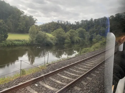
ESV Jugend- und Wanderheim
Restaurant · 1.8 km
1 In der Spaich
Apr-Oct Tu-Fr 10:00-23:00; Apr-Oct Sa-Su 08:30-24:00; Apr-Oct Mo...
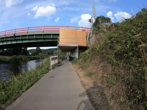

Pizzeria Ristorante Tori
Restaurant · Italian · 5.5 km
6 Dauborner Straße, Brechen
Tu off; Mo-Su 17:00-22:00
Ristorante Amalfi
Restaurant · Italian · 2.5 km
1 August-Gerhardt-Straße, Runkel
We-Mo 11:30-14:30,17:30-22:30; Tu off
Wissegiggel
Restaurant · German · 3.9 km
3 Wiesenstraße, Villmar
We-Fr 17:00-24:00; Sa 15:00-24:00; Su,PH 11:00-23:00; Mo,Tu off
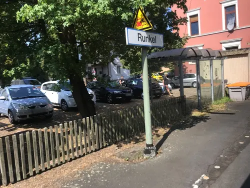

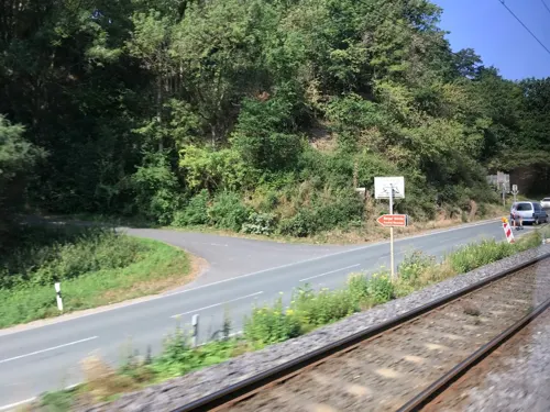
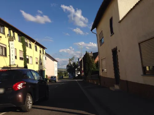
Hotel-Restaurant Landhaus Schaaf
Restaurant · 2.9 km
15 Oberstraße, Runkel
Mo-Sa 11:30-14:00,17:30-21:30; Su 11:30-14:00,17:30-21:00; Mo off
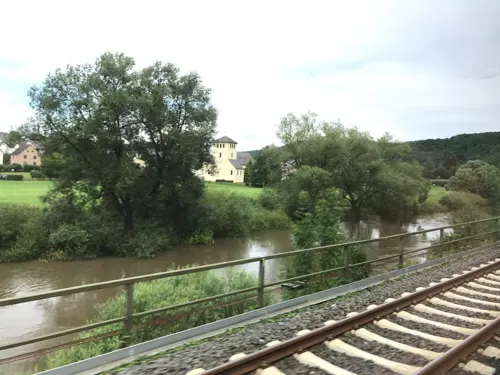


Bahnhof Aumenau
Cafe · Bistro · 4.1 km
Th,Su 14:00-18:00; Fr,Sa 14:00-22:00; May 15-Oct 15 Mo-We 14:00-18:00
42 more on the map.
History
Villmar's main centre had its first documentary mention in 1053 when Emperor Heinrich III donated the royal estate of Villmar to the Benedictine Abbey of Saint Matthew in Trier. The landholding bound to this and the abbey's earnings was more closely circumscribed in later confirmations. Of particular importance in this is the abbot's right, already falsely appended to the donation document, to employ a secular Schutzvogt, which amounted to a noble title. In 1154, the abbey's ownership rights were assigned by Archbishop Hillin of Trier to the Villmar Church. A list was drawn up of places owing tithes, among them the current constituent communities of Seelbach, Aumenau and Weyer.
It is believed that in the same year, a falsification of the original document, backdated to 1054, appeared, which dealt with the Vogt rights as well as the parish's extent, and thereby with tithes. The centres of Aumenau and Weyer were already being mentioned in writing in the 8th century, and Falkenbach and Langhecke followed in the 13th and 14th, respectively. Scholars have concluded, indirectly from other documents, that an autonomous parish of Villmar must already have arisen by 910. Even the placename “Villmar” suggests that the community had its beginnings before Frankish times.
From the History section of Villmar on Wikipedia, under CC BY-SA 4.0.
Where to stay9
Churches and places of worship21
Barockkirche St. Peter und Paul
Church · Catholic
1 Peter-Paul-Straße
Shopping9
Gas and EV charging4
Schools, colleges and libraries12
Gladbacher Hof - Landwirtschaftliche Lehr- und Forschungseinrichtung Gladbacher Hof
School · 3.8 km
1, Villmar
Healthcare4
Apotheke im Goldener Grund
Clinic and pharmacy · 4.0 km
18 Limburger Straße, Brechen
Map of Villmar
177 places. The map loads OpenStreetMap tiles when you open it.
Getting there and nearby towns
Siegerlandflughafen (SGE) is the nearest airport with scheduled flights listed in OpenStreetMap, 36 km away.
- Limburg an der Lahn 10 km west, about 10 min by car
- Weilburg 11 km northeast, about 11 min by car
- Bad Camberg 12 km southeast, about 12 min by car
- Hadamar 12 km northwest, about 12 min by car
- Diez 13 km west, about 13 min by car
- Weilmünster 14 km east, about 14 min by car
- Braunfels 19 km northeast, about 19 min by car
- Idstein 20 km south, about 20 min by car
- Solms 22 km northeast, about 22 min by car
- Neu-Anspach 23 km east, about 23 min by car
Drive times are estimates from straight-line distance, not routes.
Local news
Headlines from INDB.
Reviews, tips and questions
Loading what members have shared...
Sources and licences
- GeoNames (CC BY 4.0): population, coordinates, regions and time zone
- Mapillary (see each image): photos
- OpenStreetMap contributors (ODbL 1.0): places, airports, map data
- Wikidata (CC0 1.0): elevation, founding date, time zone, website, landmarks and historic places
- Wikimedia Commons (see each image): photos
- Wikipedia (CC BY-SA 4.0): overview and history text
Photo credits
- Villmar Luftbild 062, Fritz Geller-Grimm, CC BY-SA 3.0
- Villmar, Mattheiser Turm (1), Karsten Ratzke, CC0
- Villmar, Weilburger Straße 5, Karsten Ratzke, CC0
- Villmar, demontierter Brunnen vor Rathaus, Karsten Ratzke, CC0
- Villmar, Rathauseck, Denkmal Lahnmarmor, Karsten Ratzke, CC0
- Villmar, Rathaus (1), Karsten Ratzke, CC0
- Villmar, Rathauseck, Denkmal Städtepartnerschaft Králíky, Karsten Ratzke, CC0
- Villmar, Rathaus, Karsten Ratzke, CC0
- Villmar, Peter-Paul-Straße 49, Karsten Ratzke, CC0
- Kirche in Villmar - geo.hlipp.de - 39275, Uwe Seibert on geo.hlipp.de, CC BY-SA 2.0
- Villmar, Peter-Paul-Straße 51, Karsten Ratzke, CC0
- Villmar, Peter-Paul-Straße 13 (1), Karsten Ratzke, CC0
- Villmar, Pfarrgarten, Mauer, Karsten Ratzke, CC0
- Villmar, Peter-Paul-Straße 13, Karsten Ratzke, CC0
- Villmar, Zehntenstraße 19, Karsten Ratzke, CC0
- Villmar, Pfarrgarten, Karsten Ratzke, CC0
- Villmar, Peter-Paul-Straße 4, Karsten Ratzke, CC0
- Villmar, Zehntenstraße 23, Karsten Ratzke, CC0
- Villmar, Zehntenstraße 19, Hausmadonna und Tafel, Karsten Ratzke, CC0
- Villmar, Pfarrgarten, Pforte, Karsten Ratzke, CC0
- Villmar, St. Matthias-Pforte, Karsten Ratzke, CC0
- Villmar, St. Matthias-Pforte, Details, Karsten Ratzke, CC0
- Villmar, Limburger Straße 11, Karsten Ratzke, CC0
- Villmar, Zehntenstraße 23 (1), Karsten Ratzke, CC0
- Villmar, St. Matthias-Pforte (1), Karsten Ratzke, CC0
- Villmar, Pfarrgarten, Mauer (2), Karsten Ratzke, CC0
- Villmar, Pfarrgarten, Mauer (1), Karsten Ratzke, CC0
- Villmar, Zehntenstraße 7, Karsten Ratzke, CC0
- Villmar, König-Konrad-Straße 12 (2), Karsten Ratzke, CC0
- Villmar, Zehntenstraße (Schulplatz) Stadtmauer, Karsten Ratzke, CC0
- Villmar - Panorama, Oliver Abels ( SBT ), CC BY 2.5
- Villmar, König-Konrad-Straße 12, Denkmal 950 Jahre Villmar, Karsten Ratzke, CC0
- Villmar, König-Konrad-Straße 12 (1), Karsten Ratzke, CC0
- Villmar, König-Konrad-Straße 12, Karsten Ratzke, CC0
- Villmar, Mattheiser Turm, Karsten Ratzke, CC0
- Berger Kirche Seite, Volker Thies ( Asdrubal ), CC BY-SA 3.0
- Limburg an der Lahn-Dietkirchen-St Lubentius von Osten-20120715, Mylius, GFDL 1.2
- Runkel01 2011-10-02, KlausFoehl, CC BY-SA 3.0
- Biurg Schadeck-1, Holger Stegemann, CC BY-SA 3.0
- Arfurt Kirchenportal, Volker Thies ( Asdrubal ), CC BY-SA 3.0
- Alte Lahnbrücke Runkel, Mr.Nutt, CC BY-SA 3.0
- Villmar - Marmorbrücke, Santiago2000, CC BY-SA 3.0
- Runkel Amtsapotheke, Volker Thies ( Asdrubal ), CC BY-SA 3.0
- Lahn-Marmor-Museum Villmar, Christof Ellger, CC BY-SA 4.0
- Ennerich Kirche, Volker Thies ( Asdrubal ), CC BY-SA 3.0
- Hofen Kirche, Volker Thies ( Asdrubal ), CC BY-SA 3.0
- Runkel katholische Kirche, Volker Thies ( Asdrubal ), CC BY-SA 3.0
- Steeden Johanneskapelle, Volker Thies ( Asdrubal ), CC BY-SA 3.0
- Seelbach Kirche, Volker Thies ( Asdrubal ), CC BY-SA 3.0
- Oberbrechen Kirche, Volker Thies ( Asdrubal ), CC BY-SA 3.0
- Muenster Kirche, Volker Thies ( Asdrubal ), CC BY-SA 3.0
- Runkeler Laach, Stefan Flöper, CC BY-SA 4.0
- Wehrley von Runkel, (5), Karsten Ratzke, CC0
- NSG Bleidenberg bei Niederbrechen, 3, Niederbrechen, Brechen, Landkreis Limburg-Weilburg, GeorgDerReisende, CC BY-SA 4.0
- 2021.02.28 Eich von Niederbrechen, Jurgenszablewski, CC BY-SA 4.0
- Oberbrechen, Kurtrierischer Stundenstein, Karsten Ratzke, CC0
- Römisches Lager Oberbrechen - Alteburg 008, Frank Winkelmann at German Wikipedia, Public domain
- Kirche Villmar, Mr.Nutt, CC BY-SA 3.0
- Unica-Bruch-Villmar Abbau-Wand, Thomas Hein, CC BY-SA 4.0
- Street-level photo, troher15, CC BY-SA 4.0
- Street-level photo, miguel_andrade, CC BY-SA 4.0
- Street-level photo, grinninghamster, CC BY-SA 4.0
- Street-level photo, troher15, CC BY-SA 4.0
- Street-level photo, grinninghamster, CC BY-SA 4.0
- Street-level photo, miguel_andrade, CC BY-SA 4.0
- Street-level photo, miguel_andrade, CC BY-SA 4.0
- Street-level photo, grinninghamster, CC BY-SA 4.0
- Street-level photo, troher15, CC BY-SA 4.0
- Street-level photo, miguel_andrade, CC BY-SA 4.0
- Street-level photo, troher15, CC BY-SA 4.0
- Street-level photo, grinninghamster, CC BY-SA 4.0


Page built November 9, 2026. Spotted a mistake? Tell us or suggest a place.