


Why visit Spelle
Townapedia lists 4 museums and landmarks, 10 parks and trails, 25 places to eat, 5 places to stay and 1 attraction in and around town.
Highlights include Spargelhof Gut Holsterfeld, Hölscherhof, Krone Museum and Dreierwalder Bruchwiesen.
Weather in Spelle
Forecast from MET Norway (CC BY 4.0). Full forecast
About Spelle
Spelle is a municipality in the Emsland district, in Lower Saxony, Germany. It is situated approximately 20 km southeast of Lingen, and 10 km north of Rheine.
From the Wikipedia article Spelle (this version), under CC BY-SA 4.0.
Things to do1
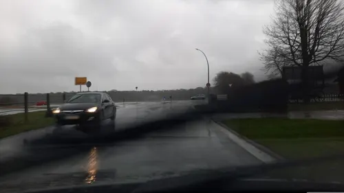
Museums and landmarks4


Parks, trails and playgrounds10






Restaurants and cafes25

Gaststätte Spieker-Wübbel
Restaurant · Regional · 1.9 km
18 Dorfstraße, Spelle
Mo-Tu 17:00-22:00; We off; Th-Fr 17:00-22:00; Sa 14:00-22:00; Su...
Lütkemeyers Gasthof
Restaurant · German · 3.8 km
1 Hopstener Straße, Hörstel
Mo off; Tu-Sa 16:00-22:00; Su 11:00-14:00,16:00-22:00
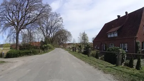
Zur Schleuse
Restaurant · German · 4.6 km
23 Heitel
Nov 1-Mar 31: Mo 14:00+; Nov 1-Mar 31: Tu-Su 11:00+; Apr 1-Sep 30:...


Das Moorcafé Spelle
Cafe · 1.9 km
30B Nordring, Spelle
Mo-Tu off; We-Fr 09:00-11:30,14:00-18:00; Sa 14:00-18:00; Su...
Schmiede 1906
Restaurant · German
15 Bernard-Krone-Straße, Spelle
Mo-Fr,Su 11:00-14:00,17:00-23:00; Sa 17:00-23:00
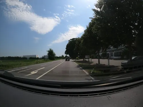


Restaurant Kreta
Restaurant · Greek · 0.7 km
5 August-Storm-Straße, Spelle
13 more on the map.
Where to stay5
Churches and places of worship4
Shopping7
Gas and EV charging6
Schools, colleges and libraries3
Healthcare1
Map of Spelle
66 places. The map loads OpenStreetMap tiles when you open it.
Getting there and nearby towns
Münster Osnabrück Airport (FMO) is the nearest airport with scheduled flights listed in OpenStreetMap, 29 km away.
- Rheine 9 km south, about 9 min by car
- Hörstel 11 km southeast, about 11 min by car
- Neuenkirchen 15 km southwest, about 15 min by car
- Recke 17 km east, about 17 min by car
- Schüttorf 17 km west, about 17 min by car
- Lingen 20 km northwest, about 20 min by car
- Emsdetten 21 km south, about 21 min by car
- Mettingen 22 km east, about 22 min by car
- Bad Bentheim 23 km west, about 23 min by car
- Steinfurt 25 km south, about 25 min by car
Drive times are estimates from straight-line distance, not routes.
Local news
Headlines from INDB.
Reviews, tips and questions
Loading what members have shared...
Sources and licences
- GeoNames (CC BY 4.0): population, coordinates, regions and time zone
- Mapillary (see each image): photos
- OpenStreetMap contributors (ODbL 1.0): places, airports, map data
- Wikidata (CC0 1.0): elevation, founding date, time zone, website
- Wikimedia Commons (see each image): photos
- Wikipedia (CC BY-SA 4.0): overview and history text
Photo credits
- Markeloplatz Spelle, Ramsch 09:30, 18. Jan. 2008 (CET), CC BY-SA 3.0
- Kriegerdenkmal Dorfstraße 13 Spelle P4070054, Worldfootage, CC BY-SA 4.0
- Dreierwalde Kirche St Anna 1, Genet, CC BY-SA 3.0
- Blick vom Aussichtsturm Speller Dose, Ramsch, CC BY-SA 3.0
- Kath.Kirche Spelle, Ramsch at German Wikipedia, CC BY-SA 3.0
- Ehemalige Wasserburg Venhaus - Kirche P4070070, Worldfootage, CC BY-SA 4.0
- Trogbahn-Wienhake (ST-005) 10, Enterprise12345678, CC BY-SA 3.0
- Bruchwiesen bei Dreierwalde (ST-012) 02, Enterprise12345678, CC BY-SA 3.0
- Trogbahn-Wienhake (ST-005) 04, Enterprise12345678, CC BY-SA 3.0
- Hörstel, Dreierwalde -- 2014 -- 9605, Dietmar Rabich, CC BY-SA 4.0
- Hörstel, Dreierwalde -- 2014 -- 9604, Dietmar Rabich, CC BY-SA 4.0
- Ehemalige Wasserburg Venhaus - Gräfte P4070060, Worldfootage, CC BY-SA 4.0
- Ehemalige Wasserburg Venhaus - Pfarrhaus P4070066, Worldfootage, CC BY-SA 4.0
- Street-level photo, ramap, CC BY-SA 4.0
- Street-level photo, Langfahrer, CC BY-SA 4.0
- Street-level photo, Lowiekse, CC BY-SA 4.0
- Street-level photo, Langfahrer, CC BY-SA 4.0
- Street-level photo, natebus, CC BY-SA 4.0
- Street-level photo, natebus, CC BY-SA 4.0


Page built November 9, 2026. Spotted a mistake? Tell us or suggest a place.