


Why visit Bad Bentheim
Townapedia lists 95 museums and landmarks, 33 parks and trails, 85 places to eat, 22 places to stay and 6 attractions in and around town.
Highlights include Bad Bentheim, Isterberg, Otto-Pankok-Museum and Sandsteinmuseum.
Weather in Bad Bentheim
Forecast from MET Norway (CC BY 4.0). Full forecast
About Bad Bentheim
Bad Bentheim (German: [baːt ˈbɛnthaɪm] ; Dutch Low Saxon: Beantem) is a town in the southwestern part of Lower Saxony, Germany, in the district of Grafschaft Bentheim on the borders of North Rhine-Westphalia and the Netherlands roughly 15 km south of Nordhorn and 20 km northeast of Enschede. It is a state-recognized thermal brine and sulphur spa town, hence the designation Bad (“Bath”). Also to be found in Bad Bentheim is the castle Burg Bentheim, the town's emblem.
From the Wikipedia article Bad Bentheim (this version), under CC BY-SA 4.0.
Travel tips from other travellers: Bad Bentheim on Wikivoyage (CC BY-SA 4.0).
Things to do6




Museums and landmarks95


83 more on the map.
Parks, trails and playgrounds33


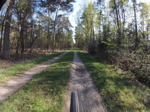





Freibad Schüttorf
Sports field and stadium · 5.2 km
Tu-Fr 06:30-19:00; Mo 06:30-09:00,13:00-19:00; Sa,Su 09:00-19:00
21 more on the map.
Restaurants and cafes85
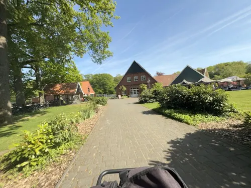
Beim Waldbauern
Cafe · German · 2.7 km
25 Waldstraße, Quendorf
Mo off; Tu-Sa 14:00-21:00; Su 11:00-20:00
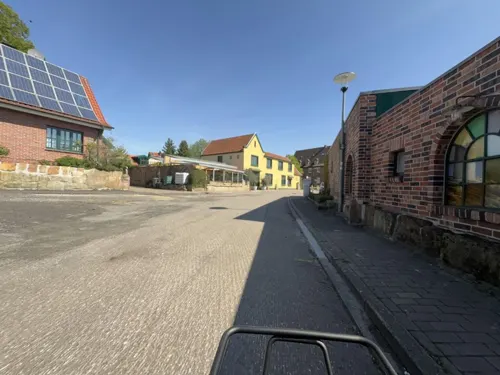
Café Levi
Cafe · Coffee Shop · 0.7 km
3 Rheiner Straße, Bad Bentheim
Mo 09:00-14:00; We-Su 09:00-17:00; Tu closed

China Restaurant Schüttorf
Restaurant · Chinese · 5.0 km
2 Burg-Altena-Platz, Schüttorf
Mo-Sa 12:00-15:00,17:30-23:00; Tu off; Su 12:00-15:00,17:00-22:00
Gaststätte Venhaus
Restaurant · German · 6.8 km
89 Salzbergener Straße, Samern
Th-Su,PH 11:00-18:00+; Mo 16:00-18:00+
Rhodos
Restaurant · Greek · 4.9 km
1 Singel, Schüttorf
We,Th 17:30-21:00; Fr,Sa 17:30-22:00; Su 12:00-14:00,17:30-21:00; Mo,Tu off

Sundag
Bakery · 5.5 km
15 Salzberger Straße, Schüttorf
Mo-Fr 05:00-18:00; Sa 05:00-17:00; Su 06:00-17:00
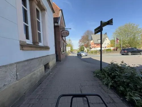
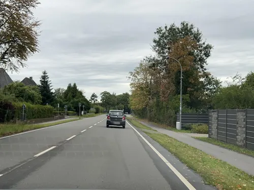
Biener Landbäckerei Wintering
Bakery · 3.3 km
12 Euregiostraße
Mo-Fr 07:00-19:00; Sa 06:30-16:00; Su 07:00-17:00
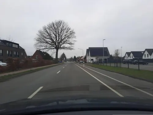
Bäckerei und Conditorei Triffterer
Bakery · 6.5 km
85 Salzbergener Straße, Samern
Mo-Fr 06:00-18:30; Sa 06:00-17:00; Su 07:30-12:00
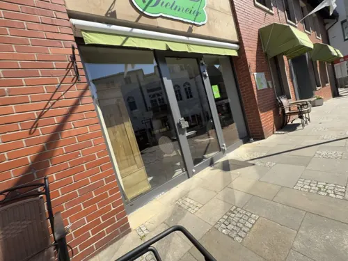
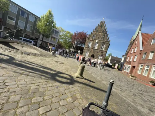


Eierschale
Bar and pub · 5.0 km
2 Windstraße, Schüttorf
Th 19:00-23:00, Fr 20:00-02:00, Sa 20:00-03:00; Su-We off
73 more on the map.
History
Bad Bentheim's first documentary mention came about 1050 under the name Binithem. There are various etymologies put forth for the town's name. It could refer to the rushes (Binsen in German) that grew on boggy land in the area in earlier times. It is also supposed by some, as with the Dutch region of Twente, that the name could go back to the Tubanti. Bad Bentheim, a former count's residence, looks back on a history rich in tradition. For centuries, this market town was the hub of the like-named county (Grafschaft) of Bentheim. In 1945, the British occupational authorities stripped “brown Bentheim” of its district seat and transferred it to the working-class town of Nordhorn, which was more centrally located.
The town's emblem is the mighty castle of the Counts of Bentheim, the Burg Bentheim, which was first mentioned in a document from 1116. About 1711, curative sulphur springs were discovered, from which grew the spa with its thermal brine and clinic.
In 1895, Queen Emma of the Netherlands and her 15-year-old daughter Wilhelmina spent several weeks at Bentheim's baths. Before this, both Otto von Bismarck and Kaiser Wilhelm I had stayed there. In Otto von Bismarck's honour, a sandstone statue in his likeness was raised on the square that also bears his name, Bismarckplatz, in Bentheim's inner town. It still stands today, right beneath the castle.
From the History section of Bad Bentheim on Wikipedia, under CC BY-SA 4.0.
Where to stay22
Churches and places of worship18
Kirche Jesu Christi der Heiligen der Letzten Tage
Church · Mormon · 0.9 km
25 Funkenstiege, Bad Bentheim
DITIB Türkisch Islamische Gemeinde
Place of worship · Sunni
6 Hofstiege, Bad Bentheim
Shopping23
Gas and EV charging14
Westfalen-Tankstelle Gerd Elbert GmbH
Gas station · 0.7 km
5 Rheiner Straße, Bad Bentheim
IDS-Automatenstation Gildehaus (AP)
Gas station · 6.8 km
Brüsseler Straße, Bad Bentheim
Schools, colleges and libraries13
Healthcare10
Arztpraxis Dr.H. Walles und T. Tegeder
Clinic and pharmacy · 0.7 km
11 Rheiner Straße, Bad Bentheim
Wirfürdich Apotheke am Schlosspark
Clinic and pharmacy
6a Bahnhofstraße, Bad Bentheim
wirfürdich Apotheke an der Diana
Clinic and pharmacy · 0.7 km
11 Rheiner Straße, Bad Bentheim
Map of Bad Bentheim
250 places. The map loads OpenStreetMap tiles when you open it.
Getting there and nearby towns
Münster Osnabrück Airport (FMO) is the nearest airport with scheduled flights listed in OpenStreetMap, 40 km away.
- Schüttorf 5 km northeast, about 5 min by car
- Ochtrup 10 km south, about 10 min by car
- Gronau 13 km southwest, about 13 min by car
- Nordhorn 16 km northwest, about 16 min by car
- Neuenkirchen 16 km southeast, about 16 min by car
- Rheine 19 km east, about 19 min by car
- Steinfurt 21 km southeast, about 21 min by car
- Wietmarschen 24 km north, about 24 min by car
- Neuenhaus 25 km northwest, about 25 min by car
- Lingen 27 km northeast, about 27 min by car
Drive times are estimates from straight-line distance, not routes.
Local news
Headlines from INDB.
Reviews, tips and questions
Loading what members have shared...
Sources and licences
- GeoNames (CC BY 4.0): population, coordinates, regions and time zone
- Mapillary (see each image): photos
- OpenStreetMap contributors (ODbL 1.0): places, airports, map data
- Wikidata (CC0 1.0): elevation, founding date, time zone, website, landmarks and historic places
- Wikimedia Commons (see each image): photos
- Wikipedia (CC BY-SA 4.0): overview and history text
Photo credits
- Stolperstein Bad Bentheim Kirchstraße 2 Elfriede Goldsteen, Gmbo 2013, CC0
- Evangelisch-Reformierte Kirche, Bad Bentheim, Kleuske, CC BY-SA 3.0
- Bad Bentheim, die evangelisch-reformierte Kirche, Dguendel, CC BY 4.0
- Stolpersteinlage Bad Bentheim Wilhelmstraße 7, Gmbo 2013, CC0
- Stolperstein Bad Bentheim Wilhelmstraße 7 Frieda Portje, Gmbo 2013, CC0
- Stolperstein Bad Bentheim Wilhelmstraße 7 Siegmund Portje, Gmbo 2013, CC0
- Stolpersteine Bad Bentheim Wilhelmstraße 7, Gmbo 2013, CC0
- Stolpersteine Bad Bentheim Wilhelmstraße 9a, Gmbo 2013, CC0
- Stolperstein Bad Bentheim Wilhelmstraße 9a Jenny Heijmann, Gmbo 2013, CC0
- Stolperstein Bad Bentheim Wilhelmstraße 9a Magda Frank, Gmbo 2013, CC0
- Stolpersteinlage Bad Bentheim Wilhelmstraße 9a, Gmbo 2013, CC0
- Stolpersteinlage Bad Bentheim Kirchstraße 2, Gmbo 2013, CC0
- Stolpersteine Bad Bentheim Kirchstraße 2, Gmbo 2013, CC0
- Stolperstein Bad Bentheim Kirchstraße 2 Levi Goldsteen, Gmbo 2013, CC0
- Stolperstein Bad Bentheim Kirchstraße 2 Lena Goldsteen, Gmbo 2013, CC0
- Stolperstein Bad Bentheim Kirchstraße 2 Rosi Goldsteen, Gmbo 2013, CC0
- Stolperstein Bad Bentheim Kirchstraße 2 Regina Goldsteen, Gmbo 2013, CC0
- 48455 Bad Bentheim, Germany - panoramio (44), Ben Bender, CC BY-SA 3.0
- 48455 Bad Bentheim, Germany - panoramio (47), Ben Bender, CC BY-SA 3.0
- 48455 Bad Bentheim, Germany - panoramio (35), Ben Bender, CC BY-SA 3.0
- 48455 Bad Bentheim, Germany - panoramio (49), Ben Bender, CC BY-SA 3.0
- Bad Bentheim 4, PsamatheM, CC BY-SA 4.0
- 48455 Bad Bentheim, Germany - panoramio (48), Ben Bender, CC BY-SA 3.0
- 48455 Bad Bentheim, Germany - panoramio (5), Ben Bender, CC BY-SA 3.0
- 48455 Bad Bentheim, Germany - panoramio (1), Ben Bender, CC BY-SA 3.0
- 48455 Bad Bentheim, Germany - panoramio, Ben Bender, CC BY-SA 3.0
- Wilhelmstraße 11, Bad Bentheim (46), Ben Bender, CC BY-SA 3.0
- Bad Bentheim 2, PsamatheM, CC BY-SA 4.0
- Bad Bentheim 3, PsamatheM, CC BY-SA 4.0
- 48455 Bad Bentheim, Germany - panoramio (38), Ben Bender, CC BY-SA 3.0
- Bad Bentheim, de Pulverturm bij Burg Bentheim Dm IMG 6757 2020-07-30 12.21, Michielverbeek, CC BY-SA 4.0
- Bentheim pano, Arch, Public domain
- Panorama gate burg bentheim, Arch, Public domain
- GildehauserVenn1997, Christian Fischer, CC BY-SA 4.0
- Bad Bentheim Gildehaus - Neuer Weg - Otto-Pankok-Museum 02 ies, Frank Vincentz, CC BY-SA 3.0
- Schlosspark Bentheim 1, Ben Bender, CC BY-SA 3.0
- Bad Bentheim - Kirche Johannes der Täufer -1, Heribert Duling (Famduling), CC BY-SA 4.0
- Bad Bentheim - Schloßstraße - Burg - Katharinenkirche ex 01 ies, Frank Vincentz, CC BY-SA 3.0
- Schüttorf - ev.ref. Kirche, Hagar66, CC BY-SA 3.0
- Kath-kirche-schuettorf2012, Knightriderfan, CC BY-SA 4.0
- Stolperstein Bad Bentheim Sieringhoeker Weg Albert Hermann Kleinhaus, Gmbo 2013, CC0
- Stolperstein Bad Bentheim Wilhelmstraße 31a Albert Wertheim, Gmbo 2013, CC0
- Stolperstein Bad Bentheim Bergstraße 22 Alice Zilversmit, Gmbo 2013, CC0
- Stolperstein Bad Bentheim Bernhard-Hagels-Platz 13 Anna Reindorp, Gmbo 2013, CC0
- Stolperstein Bad Bentheim Am Berghang 5 Berta Gossels, Gmbo 2013, CC0
- Stolperstein Bad Bentheim Ochtruper Straße 7a Carl Mildenberg, Gmbo 2013, CC0
- Stolperstein Bad Bentheim Heinrich-Kloppers-Straße 11 Carla Rahel Blumenthal, Gmbo 2013, CC0
- Stolperstein Bad Bentheim Paulinenweg 11 Dina Zilversmit, Gmbo 2013, CC0
- 20150501 mk harskamp 03, Kaiserm123, CC BY-SA 3.0
- Evangelisch-reformierte Kirche 2014 Bentheim, Ben Bender, CC BY-SA 3.0
- Sandsteinmuseum Bad Bentheim, Mafrika14, CC BY-SA 4.0
- Street-level photo, ottor, CC BY-SA 4.0
- Street-level photo, ottor, CC BY-SA 4.0
- Street-level photo, ottor, CC BY-SA 4.0
- Street-level photo, ottor, CC BY-SA 4.0
- Street-level photo, ottor, CC BY-SA 4.0
- Street-level photo, ottor, CC BY-SA 4.0
- Street-level photo, Lowiekse, CC BY-SA 4.0
- Street-level photo, cAble_Guy, CC BY-SA 4.0
- Street-level photo, Lowiekse, CC BY-SA 4.0
- Street-level photo, Lowiekse, CC BY-SA 4.0
- Street-level photo, ottor, CC BY-SA 4.0
- Street-level photo, Lowiekse, CC BY-SA 4.0
- Street-level photo, ottor, CC BY-SA 4.0
- Street-level photo, Lowiekse, CC BY-SA 4.0
- Street-level photo, ottor, CC BY-SA 4.0
- Street-level photo, ottor, CC BY-SA 4.0
- Street-level photo, Lowiekse, CC BY-SA 4.0
- Street-level photo, cAble_Guy, CC BY-SA 4.0
- Street-level photo, GlitchHunter, CC BY-SA 4.0


Page built November 8, 2026. Spotted a mistake? Tell us or suggest a place.