


Why visit Stockheim
Townapedia lists 13 museums and landmarks, 2 parks and trails, 26 places to eat, 5 places to stay and 26 attractions in and around town.
Highlights include Bauersberg, Eilaberg, Schwedenstein and Burg Neuhaus.
Weather in Stockheim
Forecast from MET Norway (CC BY 4.0). Full forecast
About Stockheim
Stockheim (German pronunciation: [ˈʃtɔkhaɪm]) is a municipality in the district of Kronach in Bavaria in Germany. It is located on Bundesstraße 85, and on the touristic route Bier- und Burgenstraße (Beer- and Castle Road).
From the Wikipedia article Stockheim (this version), under CC BY-SA 4.0.
Things to do26

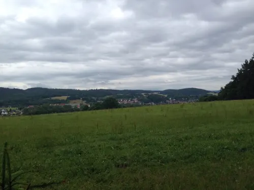
14 more on the map.
Museums and landmarks13


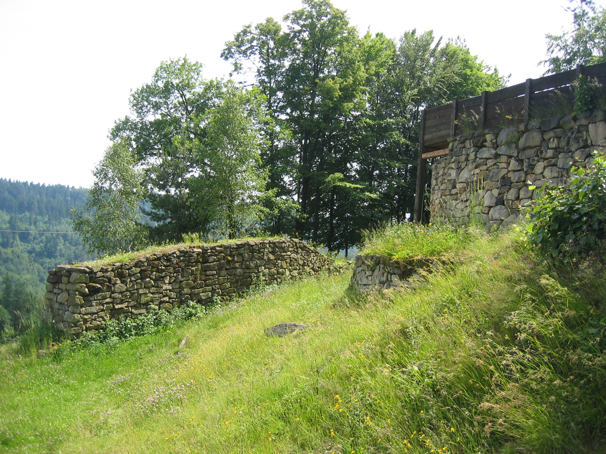
Heunischenburg
Monument and historic site · 7.2 km
Stone fortification

Weißerth-Kapelle
Monument and historic site · 1.5 km
26a Ludwigsstädter Straße, Stockheim



1 more on the map.
Parks, trails and playgrounds2


Restaurants and cafes26
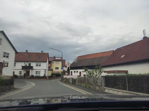
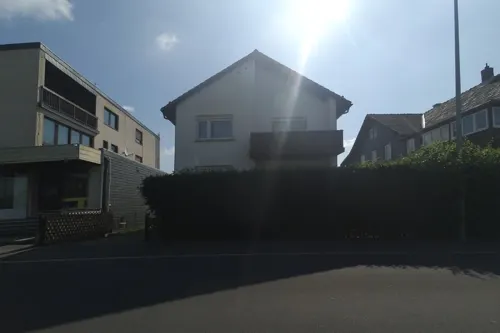
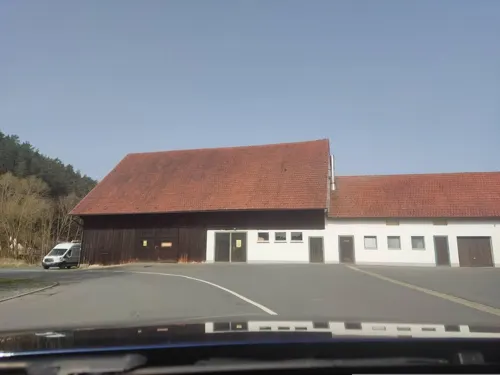


Backhaus Müller
Bakery · 3.1 km
2 Straße zur Neuen Welt, Föritztal
Mo-Fr 07:00-20:00; Sa 07:00-18:00; Su,PH off
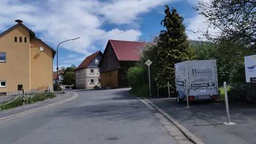

Rosi's Brotzeitstübchen
Restaurant · 3.5 km
Kalte und warme Speisen, selbst gemachte Wurstwaren, Außenterrasse
15 Obere Dorfstraße, Föritztal
Sa, Su 15:00-21:00
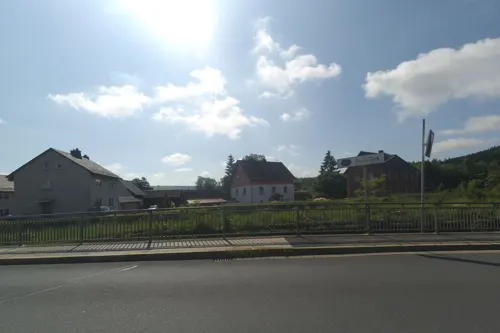
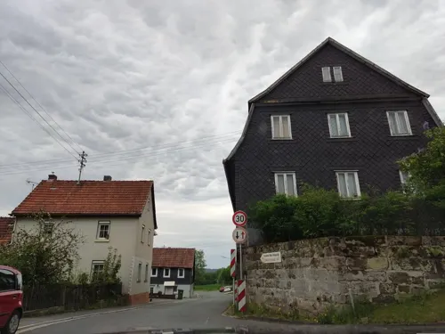
Zum Goldenen Adler
Restaurant · Regional · 2.2 km
Fr 14:00+ || "nach Vereinbarung"
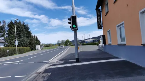


14 more on the map.
Where to stay5
Churches and places of worship15
St. Katharina
Church · Roman Catholic · 1.8 km
53 Ludwigsstädter Straße, Stockheim
Wallfahrtskirche Mariä Geburt
Church · Roman Catholic · 3.5 km
16 Glosberg, Kronach
Dreifaltigkeitskirche
Church · Lutheran · 2.8 km
Schloßbergring, Föritztal
St.-Johannes-der-Täufer-Kirche
Church · Roman Catholic · 2.0 km
2 St.-Johannes-Straße, Stockheim
Shopping7
Gas and EV charging5
Schools, colleges and libraries3
Healthcare3
DRK-Vorsorge- und Rehaeinrichtung für Mutter und Kind - "Schloss Neuhaus"
Hospital · 2.8 km
1 Schloßbergring, Föritztal
Map of Stockheim
105 places. The map loads OpenStreetMap tiles when you open it.
Getting there and nearby towns
Verkehrslandeplatz Hof-Plauen (HOQ) is the nearest airport with scheduled flights listed in OpenStreetMap, 41 km away.
- Kronach 8 km southeast, about 8 min by car
- Sonneberg 10 km northwest, about 10 min by car
- Neustadt bei Coburg 12 km west, about 12 min by car
- Rödental 17 km west, about 17 min by car
- Coburg 23 km west, about 23 min by car
- Lichtenfels 24 km southwest, about 24 min by car
- Kulmbach 26 km southeast, about 26 min by car
- Weitramsdorf 29 km west, about 29 min by car
- Bad Staffelstein 30 km southwest, about 30 min by car
- Saalfeld 38 km north, about 38 min by car
Drive times are estimates from straight-line distance, not routes.
Local news
Headlines from INDB.
Reviews, tips and questions
Loading what members have shared...
Sources and licences
- GeoNames (CC BY 4.0): population, coordinates, regions and time zone
- Mapillary (see each image): photos
- OpenStreetMap contributors (ODbL 1.0): places, airports, map data
- Wikidata (CC0 1.0): elevation, founding date, time zone, website, landmarks and historic places
- Wikimedia Commons (see each image): photos
- Wikipedia (CC BY-SA 4.0): overview and history text
Photo credits
- Stockheim-Rathaus, Störfix, CC BY-SA 3.0
- Stockheim-Kath-Kirche, Störfix, CC BY-SA 3.0
- Stockheim-Ev-Kirche, Störfix, CC BY-SA 3.0
- Stockheim-Fußgängerunterführung, Störfix, CC BY-SA 3.0 de
- Stockheim-Wasserdurchlass, Störfix, CC BY-SA 3.0 de
- Stockheim-St-Wolfgang-03, Störfix, CC BY-SA 3.0 de
- Schloss Stockheim 01, Presse03, CC BY-SA 3.0
- Stockheim-St-Wolfgang-05, Störfix, CC BY-SA 3.0 de
- Stockheim-St-Wolfgang-04, Störfix, CC BY-SA 3.0 de
- Stockheim-St-Wolfgang-02, Störfix, CC BY-SA 3.0 de
- Stockheim-St-Wolfgang-01, Störfix, CC BY-SA 3.0 de
- Stockheim-Reste-Schloss, Störfix, CC BY-SA 3.0 de
- Steinkohlebergwerk Stockheim - 2024 - 4, Namenloser Hobbyhistoriker, CC BY-SA 4.0
- Steinkohlebergwerk Stockheim - 2024 - 1, Namenloser Hobbyhistoriker, CC BY-SA 4.0
- Steinkohlebergwerk Stockheim - 2024 - 6, Namenloser Hobbyhistoriker, CC BY-SA 4.0
- Steinkohlebergwerk Stockheim - 2024 - 2, Namenloser Hobbyhistoriker, CC BY-SA 4.0
- Steinkohlebergwerk Stockheim - 2024 - 8, Namenloser Hobbyhistoriker, CC BY-SA 4.0
- Heunischenburg, Stefan Wicklein, Kronach, CC BY-SA 3.0
- Schlossberg-Neuhaus-Schierschnitz, Störfix, CC BY-SA 3.0
- Welitsch - St. Anna - 2020 - 1, Kronach Fotos, CC BY-SA 4.0
- Neuhaus-Dreifaltigkeitskirche1, Störfix, CC BY-SA 3.0
- Glosberg 05, Immanuel Giel, CC BY-SA 3.0
- Burggrub-St-Laurentius01, Störfix, CC BY-SA 3.0 de
- St.-Anna-Straße 11 (MGK18610), Markus G. Klötzer, CC BY-SA 4.0
- Neukenroth - Pfarrkirche St. Katharina - 2021, Kronach Fotos, CC BY-SA 4.0
- Glosberg - Fünfwundenkreuz - 2024, Namenloser Hobbyhistoriker, CC BY-SA 4.0
- Reitsch-Heilig-Kreuz01, Störfix, CC BY-SA 3.0 de
- Haßlach-bK-St-Johannes02, Störfix, CC BY-SA 3.0 de
- Schierschnitz-Friedhofskapelle, Störfix, CC BY-SA 3.0 de
- Burggrub - Schwedenstein - 2020, Kronach Fotos, CC BY-SA 4.0
- Burg Neuhaus, Benreis, CC BY-SA 3.0
- Neukenroth - Wegkapelle Ludwigsstädter Straße, Kronach Fotos, CC BY-SA 4.0
- Gundelsdorf - Stolperstein Julius Obermeier (Thüringer Straße 21) - 2022, Namenloser Hobbyhistoriker, CC BY-SA 4.0
- Kellerhaus Talstraße Schwärzdorf, Schwaerzdorferin1963, CC BY-SA 4.0
- Hallteich Rottmar im Winter, Rob104, CC BY-SA 3.0
- Gundelsdorf - Kriegergedächtniskapelle, Kronach Fotos, CC BY-SA 4.0
- St.-Anna-Kirche in Welitsch von der Straßenseite, Michael Fiedler, CC BY-SA 3.0
- Glosberg-Maria-Geburt-2022a, Störfix, CC BY-SA 3.0 de
- Kirche Neukenroth 04, Immanuel Giel, CC BY-SA 3.0
- Wolfersdorf - Bildstock Wolfersdorf 1 - 2023, Namenloser Hobbyhistoriker, CC BY-SA 4.0
- Street-level photo, bingo67, CC BY-SA 4.0
- Street-level photo, wegavision, CC BY-SA 4.0
- Street-level photo, bingo67, CC BY-SA 4.0
- Street-level photo, wegavision, CC BY-SA 4.0
- Street-level photo, bingo67, CC BY-SA 4.0
- Street-level photo, lehestener, CC BY-SA 4.0
- Street-level photo, ramap, CC BY-SA 4.0
- Street-level photo, bingo67, CC BY-SA 4.0
- Street-level photo, bingo67, CC BY-SA 4.0
- Street-level photo, bbo, CC BY-SA 4.0
- Street-level photo, lehestener, CC BY-SA 4.0
- Street-level photo, wegavision, CC BY-SA 4.0
- Street-level photo, bingo67, CC BY-SA 4.0
- Street-level photo, bingo67, CC BY-SA 4.0
- Street-level photo, bingo67, CC BY-SA 4.0
- Street-level photo, bingo67, CC BY-SA 4.0
- Street-level photo, lehestener, CC BY-SA 4.0
- Street-level photo, bingo67, CC BY-SA 4.0
- Street-level photo, ramap, CC BY-SA 4.0
- Street-level photo, lehestener, CC BY-SA 4.0
- Street-level photo, wegavision, CC BY-SA 4.0


Page built November 9, 2026. Spotted a mistake? Tell us or suggest a place.