


Why visit Twist
Townapedia lists 20 museums and landmarks, 27 parks and trails, 29 places to eat, 8 places to stay and 2 attractions in and around town.
Highlights include Emsland Moormuseum, Erdöl-Erdgas-Museum Twist, Dalum-Wietmarscher Moor and Hochmoor Ringe.
Weather in Twist
Forecast from MET Norway (CC BY 4.0). Full forecast
About Twist
Twist is a municipality in the Emsland district, in Lower Saxony, Germany. It is situated directly on the Dutch border.
From the Wikipedia article Twist, Germany (this version), under CC BY-SA 4.0.
Things to do2

Museums and landmarks20



Obstbaumwipfelpfad - Emsland Moormuseum
Monument and historic site · 8.0 km
Tu-Su 10:00-18:00
Fam. Platzer
Monument and historic site
Https://www.noz.de/archiv/vermischtes/artikel/165971/ein-bauer-kommt-unter-die-rader
8 more on the map.
Parks, trails and playgrounds27



Bargerveen
Hiking and trails · 5.9 km
Vogelrichtlijn + Habitatrichtlijn



15 more on the map.
Restaurants and cafes29
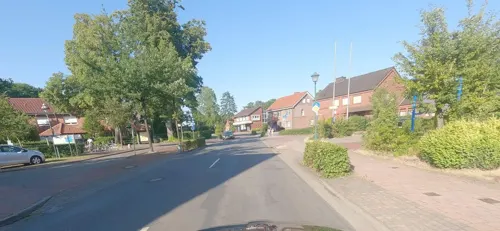


Bäckerei Hoyng
Cafe · 2.2 km
5 Flensbergstraße, Twist
Mo-Fr 06:00-18:00, Sa 07:00-17:00, Su 08:00-17:00
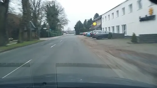
Landgasthof Backers
Restaurant
Helmut Backers Jahreszeitenküche - regional, frisch, kreativ Mitglied von Slow Food Deutschland e. V.
25 Kirchstraße, Twist

Museumscafé Emsland Moormuseum
Restaurant · 8.2 km
6 Geestmoor, Geeste
Mar Sa-Su 12:00-17:00; Apr-Oct Tu-Su 12:00-17:00
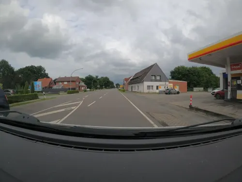
Fuat Grill Pizzeria
Restaurant · Barbecue, Pizza, Noodle · 2.4 km
44 Alt-Rühlertwist, Twist
We-Mo 16:00-22:00; Tu off
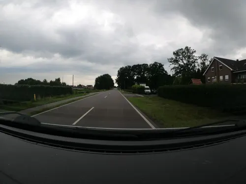
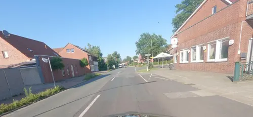
Korfu-Grill
Restaurant · Greek · 0.7 km
1 Georgstraße, Twist
Tu-Sa 17:00-22:30; Su 11:30-14:30,14:00-22:00
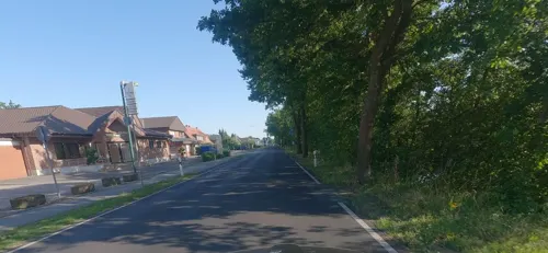
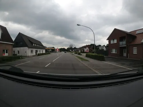
Pico Bello
Restaurant · Italian · 2.4 km
54 Alt-Rühlertwist, Twist


17 more on the map.
History
The settlement in the area of today's municipality Twist began quite late around the year 1784. The prince-bishop of Münster Max Franz satisfied the wishes of some "Heuerleute", a kind of farmer, from the nearby village of Hesepe to settle down in the bog "Twist". This was the starting point of the settlement in Twist; to be more precise it starts at the street of houses which is nowadays called "Alt-Hesepertwist".
The ground was at that time quite infertile because of its composition and did just allow a meager livelihood and so the people did not live in any comfort. The construction of the canal "Nord-Süd-Kanal" about 100 years later brought significant improvements in the quality of life of the people, because the canal allowed a systematic drainage and removal of the peat.
In the 1950s the economic revival finally arrived on the one hand by finding larger oil deposits and on the other hand by commissioning of the production site of the Dutch plastics company Wavin. These two factors were over some decades the driving forces for the economical rise of Twist.
In 1986 Twist celebrated its 200th anniversary. The anniversary festivities ended with a pageant which had respect to the history and current circumstances in Twist. For instance one of the numerous parade floats showed a detailed replica of the church St. Georg (biggest church in Twist).
From the History section of Twist, Germany on Wikipedia, under CC BY-SA 4.0.
Where to stay8
Churches and places of worship9
Autobahnkapelle „Jesus – Brot des Lebens“
Church · Ecumenical · 8.3 km
A31 Heseper Moor West, Geeste
Shopping8
Gas and EV charging3
Schools, colleges and libraries6
Healthcare1
Map of Twist
113 places. The map loads OpenStreetMap tiles when you open it.
Getting there and nearby towns
Münster Osnabrück Airport (FMO) is the nearest airport with scheduled flights listed in OpenStreetMap, 70 km away.
- Wietmarschen 14 km south, about 14 min by car
- Geeste 14 km east, about 14 min by car
- Meppen 16 km east, about 16 min by car
- Neuenhaus 17 km southwest, about 17 min by car
- Lingen 22 km southeast, about 22 min by car
- Haren 21 km northeast, about 21 min by car
- Uelsen 20 km southwest, about 20 min by car
- Nordhorn 23 km south, about 23 min by car
- Haselünne 29 km east, about 29 min by car
- Schüttorf 37 km south, about 37 min by car
Drive times are estimates from straight-line distance, not routes.
Local news
Headlines from INDB.
Reviews, tips and questions
Loading what members have shared...
Sources and licences
- GeoNames (CC BY 4.0): population, coordinates, regions and time zone
- Mapillary (see each image): photos
- OpenStreetMap contributors (ODbL 1.0): places, airports, map data
- Wikidata (CC0 1.0): elevation, founding date, time zone, website
- Wikimedia Commons (see each image): photos
- Wikipedia (CC BY-SA 4.0): overview and history text
Photo credits
- Kirche St Georg Twist, Michael Wilken, Public domain
- Wegekapelle auf dem Bült, Twist P4060925, Worldfootage, CC BY-SA 4.0
- Platzer-Denkmal auf dem Bült, Twist P4060926, Worldfootage, CC BY-SA 4.0
- St.Georg (Grabkreuz) Twist-Bült P4060914, Worldfootage, CC BY-SA 4.0
- Twist, sculptuur Nord Stream Doppelpipeline foto9 2016-09-25 14.13, Michielverbeek, CC BY-SA 4.0
- Erdölmuseum Twist, Michael Wilken at de.wikipedia, Public domain
- Autobahnkapelle Jesus Brot des Lebens, 4028mdk09, CC BY-SA 3.0
- Geeste - Dalum-Wiemarscher Moor - Zum Hügel - Aussichtshügel 01 ies, Frank Vincentz, CC BY-SA 3.0
- 2010-10-30 Geeste, Moormuseum 001 (5207417022), Allie_Caulfield from Germany, CC BY 2.0
- Geeste - Twister Straße - Geestmoor 07 ies, Frank Vincentz, CC BY-SA 3.0
- Hengstkampkuhlen, Wieland Teixeira, CC BY-SA 4.0
- Hootmanns Meer Birkengehölz 1 im September, Crademaker, CC BY-SA 4.0
- Bargerveen8, Hrald, CC BY-SA 3.0
- Provinzialmoor-06 hg, Hannes Grobe, CC BY-SA 4.0
- Marienkirche Twist-Adorf, Michael Wilken, Public domain
- Dalum-Wietmarscher Moor 01, Balooh86, CC BY-SA 4.0
- CrossAtHengstkampkuhlen, Wieland Teixeira, CC BY-SA 4.0
- Provinzialmoor-05 hg, Hannes Grobe, CC BY-SA 4.0
- Natura2000 - Bargerveen, Map data (c) OpenStreetMap contributors, CC-BY-SA • Shape files infrastructure and nature (railway, roads, water, forest): all originally by OpenStreetMap contributors. Status december 2011 •..., CC BY 2.0
- Rollei 35 TE, Inbe75, CC BY-SA 4.0
- Grenzstein No. 157 (NL-D) P4060929, Worldfootage, CC BY-SA 4.0
- Grenzstein No. (NL-D) P4060932, Worldfootage, CC BY-SA 4.0
- Grenzstein No. 158 (NL-D) P4060934, Worldfootage, CC BY-SA 4.0
- Street-level photo, Foto123, CC BY-SA 4.0
- Street-level photo, vst, CC BY-SA 4.0
- Street-level photo, vst, CC BY-SA 4.0
- Street-level photo, Foto123, CC BY-SA 4.0
- Street-level photo, Foto123, CC BY-SA 4.0
- Street-level photo, Langfahrer, CC BY-SA 4.0
- Street-level photo, Langfahrer, CC BY-SA 4.0
- Street-level photo, Foto123, CC BY-SA 4.0
- Street-level photo, Foto123, CC BY-SA 4.0
- Street-level photo, Langfahrer, CC BY-SA 4.0
- Street-level photo, robinvdlinde, CC BY-SA 4.0
- Street-level photo, ligfietser, CC BY-SA 4.0
- Street-level photo, Foto123, CC BY-SA 4.0
- Street-level photo, Foto123, CC BY-SA 4.0
- Street-level photo, Langfahrer, CC BY-SA 4.0
- Street-level photo, Foto123, CC BY-SA 4.0
- Street-level photo, marczoutendijk, CC BY-SA 4.0


Page built November 9, 2026. Spotted a mistake? Tell us or suggest a place.