


Why visit Geeste
Townapedia lists 62 museums and landmarks, 49 parks and trails, 94 places to eat, 13 places to stay and 13 attractions in and around town.
Highlights include Filmpalast CineWorld, Hofladen Krone-Raue, Emsland Moormuseum and TPZ Lingen.
Weather in Geeste
Forecast from MET Norway (CC BY 4.0). Full forecast
About Geeste
Geeste is a municipality in the district Emsland in Lower Saxony.
From the Wikipedia article Geeste, Emsland (this version), under CC BY-SA 4.0.
Things to do13

Filmpalast CineWorld
Cinema and theater · 8.7 km
40 Willy-Brandt-Ring, Lingen (Ems)
Mo-We 16:30+; Th-Su 14:00+

Diekamps Fietzenstop
Farm and orchard · 5.7 km
Diekamps Fietzenstop bietet: ● einen Kaffeeautomaten ● Bratwurstautomat ● zwei Verkaufsautomaten mit regionalen Produkten ●...
21 Brögberner Str., 49811 Lingen (Ems)
Theater an der Wilhelmshöhe
Cinema and theater · 8.6 km
44 Willy-Brandt-Ring, Lingen (Ems)

Vogellehrstand
Scenic view · 9.1 km
Ausguck zur Beobachtung der umgebenden Flora und Fauna mit interaktiver Installation zum Studium von Vogelstimmen
1 more on the map.
Museums and landmarks62


TPZ Lingen
Museum · 9.2 km
Theaterpädagogisches Zentrum der Emsländischen Landschaft e.V.
5-6 Universitätsplatz, Lingen (Ems)
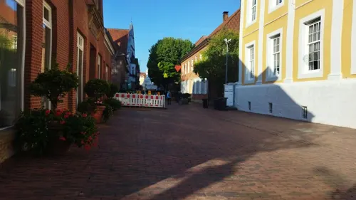
Emslandmuseum Lingen
Museum · 9.3 km
An Feiertagen geschlossen (außer Tag der Deutschen Einheit und Reformationstag)
Tu-Su 14:30-17:30

Historisches Rathaus
Monument and historic site · 9.2 km
15 Am Markt, Lingen (Ems)

Exhibition Centre for the Archaeology of the Emsland
Museum · 10.1 km
Museum in Germany

Obstbaumwipfelpfad - Emsland Moormuseum
Monument and historic site · 6.2 km
Tu-Su 10:00-18:00
Bohrturm
Monument and historic site · 2.2 km
Bohrturm-Nachbau zur Erinnerung an die Erdölförderung 1942-1997.
50 more on the map.
Parks, trails and playgrounds49









37 more on the map.
Restaurants and cafes94

Alte Posthalterei
Restaurant · German · 9.2 km
1 Große Straße, Lingen (Ems)
Su-Tu 11:00-22:00, We 10:00-22:00, Th-Fr 11:00-22:00, Sa 09:00-22:00
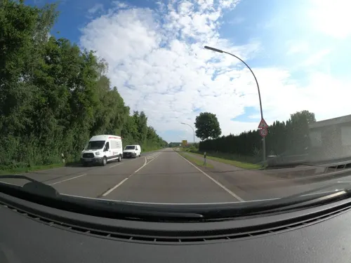

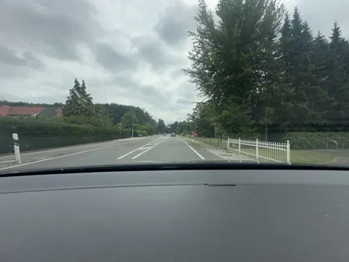
Hotel und Restaurant "Zur Krone"
Restaurant · German · 1.6 km
106 Osterbrocker Straße, Geeste
Sa-Th 08:00-14:00,17:00+
AIVILO Café & Weinbar
Cafe · Coffee Shop · 9.3 km
8 Burgstraße, Lingen (Ems)
We,Sa 10:00-18:00; Th,Fr,Su 11:00-18:00
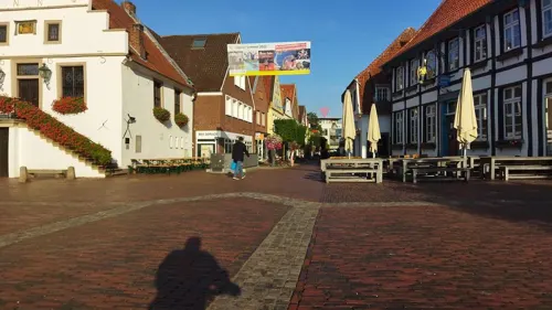
Cafe Extrablatt
Cafe · Coffee Shop · 9.3 km
12 Am Markt, Lingen (Ems)
Mo-Sa 09:00-24:00; Su,PH 09:30-24:00
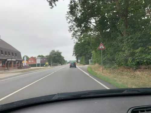

Gasthof Niemann - Sportlereck
Restaurant · German · 7.0 km
3 Bramharstraße, Lingen (Ems)
Mo-Fr 14:00+, Sa-Su 09:30+
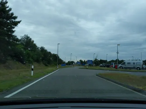


Kanuhof "Zur Ems"
Restaurant · Burger, Regional · 6.2 km
20 Dalumer Straße, Lingen (Ems)
We-Su 11:00-20:00
82 more on the map.
Where to stay13
Churches and places of worship21
Reformierte Kirche
Church · Reformed · 9.1 km
Kirchstraße, Lingen (Ems)
St. Bonifatius
Church · Roman Catholic · 9.3 km
21 Burgstraße, Lingen (Ems)
Autobahnkapelle „Jesus – Brot des Lebens“
Church · Ecumenical · 6.5 km
A31 Heseper Moor West, Geeste
St. Nikolaus Groß Hesepe
Church · Roman Catholic · 3.4 km
118 Meppener Straße, Geeste
Auferstehungskapelle Biene
Church · Lutheran · 4.3 km
2 Martin-Luther-Straße, Lingen
St. Antonius Abt in Teglingen
Church · Catholic · 8.3 km
14 Teglinger Hauptstraße, Meppen
Shopping32
Gas and EV charging17
Schools, colleges and libraries22
Berufsbildende Schulen Lingen -Gewerbliche Fachrichtungen-
School · 8.7 km
23 Beckstraße, Lingen (Ems)
Healthcare13
Nikolaus Apotheke
Clinic and pharmacy · 3.5 km
1 Pfarrer-Wekenborg-Straße, Geeste
Map of Geeste
250 places. The map loads OpenStreetMap tiles when you open it.
Getting there and nearby towns
Münster Osnabrück Airport (FMO) is the nearest airport with scheduled flights listed in OpenStreetMap, 59 km away.
- Lingen 9 km southeast, about 9 min by car
- Meppen 10 km north, about 10 min by car
- Wietmarschen 13 km southwest, about 13 min by car
- Haselünne 17 km northeast, about 17 min by car
- Haren 22 km north, about 22 min by car
- Nordhorn 23 km southwest, about 23 min by car
- Neuenhaus 23 km southwest, about 23 min by car
- Schüttorf 31 km south, about 31 min by car
- Rheine 37 km south, about 37 min by car
- Löningen 36 km northeast, about 36 min by car
Drive times are estimates from straight-line distance, not routes.
Local news
Headlines from INDB.
Reviews, tips and questions
Loading what members have shared...
Sources and licences
- GeoNames (CC BY 4.0): population, coordinates, regions and time zone
- Mapillary (see each image): photos
- OpenStreetMap contributors (ODbL 1.0): places, airports, map data
- Wikidata (CC0 1.0): elevation, founding date, time zone, website, landmarks and historic places
- Wikimedia Commons (see each image): photos
- Wikipedia (CC BY-SA 4.0): overview and history text
Photo credits
- Osterbrock, Sankt Isidorkirche foto1 2011-05-07 15.15, Michielverbeek, CC BY-SA 3.0
- Geeste St. Antonius church, Hinnek.Higgens, CC BY-SA 4.0
- Geeste, de Sankt Antoniuskirche IMG 1205 2026-04-28 11.00, Michielverbeek, CC BY-SA 4.0
- Speicherbecken Geeste (dam), ProfessorX, CC BY-SA 4.0
- Alte Posthalterei in Lingen (1), Krzysztof Golik, CC BY-SA 4.0
- Autobahnkapelle Jesus Brot des Lebens, 4028mdk09, CC BY-SA 3.0
- Geeste - Osterbroker Straße - Biotop 08 ies, Frank Vincentz, CC BY-SA 3.0
- Geeste - Dalum-Wiemarscher Moor - Zum Hügel - Aussichtshügel 01 ies, Frank Vincentz, CC BY-SA 3.0
- Naturschutzgebiet Wacholderheide (Lingen) (Kennzeichen NSG WE 163), ant.scha, CC BY-SA 3.0
- 2010-10-30 Geeste, Moormuseum 001 (5207417022), Allie_Caulfield from Germany, CC BY 2.0
- Geeste - Twister Straße - Geestmoor 07 ies, Frank Vincentz, CC BY-SA 3.0
- Hengstkampkuhlen, Wieland Teixeira, CC BY-SA 4.0
- Historisches Rathaus Lingen (Ems), Stadt Lingen (Ems), CC0
- Meppen - Meppener Kuhweide - Werner-Menne-Pfad 07 ies, Frank Vincentz, CC BY-SA 3.0
- Kamp Gross Hesepe 1, DennisPeeters, Public domain
- Preĝejo St. Bonifatius en Lingen 2, Thomas Pusch, CC BY-SA 3.0
- Bonifatius-Hospital, Lexipedia1995, CC BY-SA 4.0
- Geeste Dalum Christus König church, Hinnek.Higgens, CC BY-SA 4.0
- Katholische Kirche St. Nikolaus in Groß Hesepe, um 1900, 19XAVO90, CC BY-SA 4.0
- Kreuzkirche Universitätsplatz en Lingen, Thomas Pusch, CC BY-SA 3.0
- Reformierte Kirche en Lingen, Thomas Pusch, CC BY-SA 3.0
- Dalum-Wietmarscher Moor 01, Balooh86, CC BY-SA 4.0
- Naturschutzgebiet, Meppener Kuhweide, Blickrichtung Süden, Gothe, CC BY-SA 4.0
- CrossAtHengstkampkuhlen, Wieland Teixeira, CC BY-SA 4.0
- Hemimysis anomala 2022-06-05 Lingen-6180, User:Creosoph, CC BY-SA 4.0
- Hemimysis anomala- head 2013-05-20 IMG 0204, User:Creosoph, CC BY-SA 4.0
- Hemimysis anomala- Telson 2013-05-20 IMG 0218, User:Creosoph, CC BY-SA 4.0
- Limnomysis benedeni 2019-06-09 Lingen-8879, User:Creosoph, CC BY-SA 4.0
- Hemimysis anomala 2013-05-20 IMG 0216, User:Creosoph, CC BY-SA 4.0
- Emsland-Raffinerie Fackel, Corradox, CC BY-SA 3.0
- Street-level photo, Langfahrer, CC BY-SA 4.0
- Street-level photo, brunsben, CC BY-SA 4.0
- Street-level photo, brunsben, CC BY-SA 4.0
- Street-level photo, littlefool, CC BY-SA 4.0
- Street-level photo, deleted_user, CC BY-SA 4.0
- Street-level photo, changchun1, CC BY-SA 4.0
- Street-level photo, brunsben, CC BY-SA 4.0
- Street-level photo, cAble_Guy, CC BY-SA 4.0
- Street-level photo, littlefool, CC BY-SA 4.0
- Street-level photo, littlefool, CC BY-SA 4.0
- Street-level photo, brunsben, CC BY-SA 4.0
- Street-level photo, brunsben, CC BY-SA 4.0
- Street-level photo, robinvdlinde, CC BY-SA 4.0
- Street-level photo, brunsben, CC BY-SA 4.0
- Street-level photo, avent, CC BY-SA 4.0
- Street-level photo, avent, CC BY-SA 4.0
- Street-level photo, changchun1, CC BY-SA 4.0
- Street-level photo, changchun1, CC BY-SA 4.0
- Street-level photo, changchun1, CC BY-SA 4.0
- Street-level photo, robinvdlinde, CC BY-SA 4.0


Page built November 8, 2026. Spotted a mistake? Tell us or suggest a place.