


Why visit Haren
Townapedia lists 74 museums and landmarks, 190 parks and trails, 114 places to eat, 27 places to stay and 20 attractions in and around town.
Highlights include Emsländische Freilichtbühne Meppen, Dankernkino, Ehem. Lager Versen and Exhibition Centre for the Archaeology of the Emsland.
Weather in Haren
Forecast from MET Norway (CC BY 4.0). Full forecast
About Haren
Haren (German pronunciation: [ˈhaːʁən] ; Polish 1945: Lwów, Polish 1945–1948: Maczków) is a town in Lower Saxony, Germany in the district of Emsland.
From the Wikipedia article Haren, Germany (this version), under CC BY-SA 4.0.
Things to do20




8 more on the map.
Museums and landmarks74


Exhibition Centre for the Archaeology of the Emsland
Museum · 12.5 km
Museum in Germany

Ter Apel Monastery
Museum · 14.5 km
Kloster in Ter Apel, the Netherlands

Transrapid Versuchsanlage Emsland (TVE)
Monument and historic site · 11.3 km
23 Hermann-Kemper-Straße, Lathen


Großsteingrab
Monument and historic site · 3.9 km
Megalithische Grabanlage der jungsteinzeitlichen Trichterbecherkultur


62 more on the map.
Parks, trails and playgrounds190


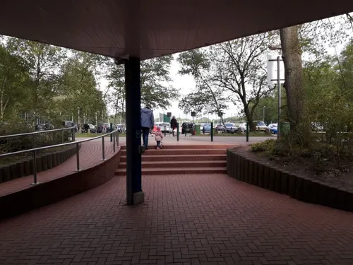
Spaßbad Topas
Sports field and stadium · 2.6 km
1 Am Tiergarten, Haren (Ems)
Mar-Oct Mo-Su 10:00-20:00

Tinner Dose-Sprakeler Heide
Hiking and trails · 9.5 km
The Tinner Dose-Sprakeler Heide is a nature reserve in the Lower Saxon communities of Stavern in the Samtgemeinde Sögel, Lathen in the...






178 more on the map.
Restaurants and cafes114
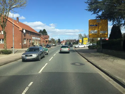
"eat & meet" Restaurant Bar Lounge Biergarten
Restaurant · Burger, Regional, Chicken, German, Seafood, Ice Cream, Salad, Fish, Dessert · 1.0 km
Renoviertes Hotel & Restaurant zwischen Zentrum und Feriengebiet Schloss Dankern
40 Wesuweer Straße, Haren (Ems)
Mo-Sa 17:00-22:00
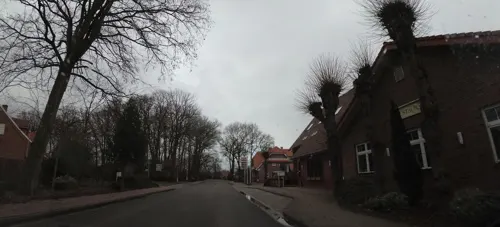
Gaststätte Weymann
Restaurant · 6.3 km
39 Marienstraße, Oberlangen
Tu-Fr 16:00-22:00; Sa-Su 10:00-22:00
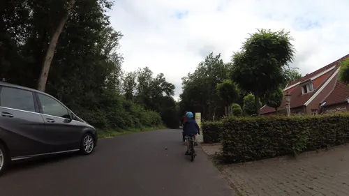
Hotel Restaurant Lathener Marsch
Restaurant · 8.4 km
4 Marschstraße, Lathen
Mo-Fr 12:00-14:00,17:00-21:00; Sa,Su,PH 12:00-14:00,17:00-21:00
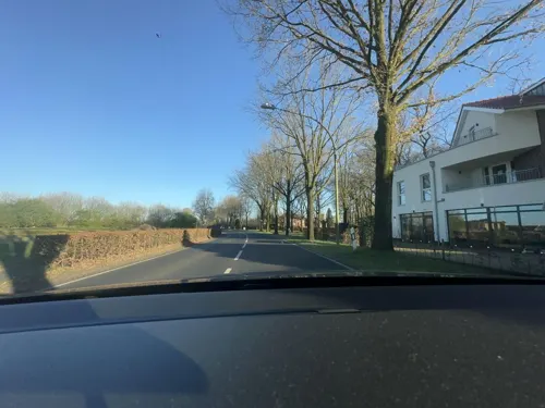
Knotenpunkt
Restaurant · Regional · 6.6 km
21 Hemsener Straße, Meppen
Tu-Th 17:00-22:00; Fr-Sa 17:00-23:00; Su 08:30-12:30; Mo off

Mongolisches Restaurant "Schomaker"
Restaurant · Asian · 8.6 km
6 Zum Paradies, Meppen
Tu-Th 17:00-22:30; Fr-Sa 17:00-23:30; Su,PH 11:30-14:30,17:00-22:30
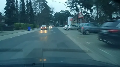

Beachbar at the Ems River Haren Ems
Bar and pub · Coffee Shop, Ice Cream, Cake, Tea, German, Juice, Regional, Bistro, Sandwich, Dessert, Pastry, Softeis, Pinsa, Salad
Willkommen an deinem neuen Lieblingsplatz! Direkt an den Emswiesen in Haren verbinden wir entspanntes Beach-Feeling mit modernem Lifestyle.
2 Am Alten Hafen, Haren (Ems)
We-Su 12:00-22:00
Biener Landbäckerei Wintering
Bakery · 10.5 km
113 Esterfelder Stiege, Meppen
Mo-Sa 06:00-20:00; Su 08:00-17:00
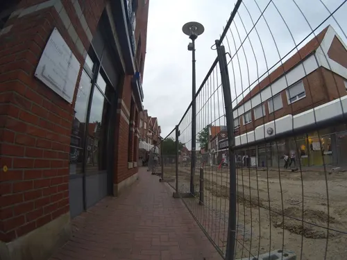
Bäckerei u. Konditorei Musswessels GmbH & Co. KG
Bakery
26 Lange Straße
Mo-Fr 08:00-17:30; Sa, Su 08:00-17:00
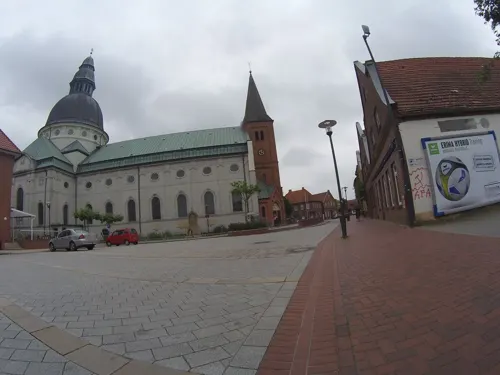
Cafe am Dom
Cafe
1 Martinusplatz, Haren (Ems)
Mo,Th,Fr 12:00-18:00; Tu,We,Sa 09:00-18:00; Su 10:00-18:00


Ganseforth
Bakery · 11.0 km
44 Versener Straße, Meppen
Mo-Fr 06:00-18:00; Sa 06:00-16:00; Su 08:00-11:00

Ganseforth
Bakery · 11.2 km
32c Haselünner Straße, Meppen
Mo-Fr 06:00-17:00; Sa 06:00-12:00; Su 08:00-11:00
102 more on the map.
History
Haren was first mentioned in the Middle Ages (around 890) in a registry of the Corvey Abbey. Around 1150 the settlement of Neuharen ("New Haren") was founded, while the nearby Altharen ("Old Haren") formed around a local castle, belonging to the bishop of Münster, who bought it around 1252 from Duchess Jutta von Ravensberg. At the end of the Thirty Years War Haren was almost completely destroyed, but soon recovered and became a notable trading port at the Ems River. The inhabitants of Haren were in large part tradesmen and sailors, transporting grain and other commodities down the Ems River.
From the History section of Haren, Germany on Wikipedia, under CC BY-SA 4.0.
Where to stay27
Hagen`s Hotel & Restaurant
Motel and hotel · German, International, Regional, Burger, Seafood, Ice Cream, Fish And Chips · 1.0 km
40 Wesuweer Straße, Haren (Ems)
Churches and places of worship32
St. Maria Darbringung im Tempel in Haren-Tinnen
Church · Catholic · 6.0 km
Tinner Hauptstraße, Haren (Ems)
Shopping37
Gas and EV charging27
Freie Tankstelle
Gas station · 10.5 km
1 Bürgermeister-Esders-Straße, Haren (Ems)
Schools, colleges and libraries25
Healthcare11
Map of Haren
250 places. The map loads OpenStreetMap tiles when you open it.
Getting there and nearby towns
Flugplatz Varrelbusch (VAC) is the nearest airport with scheduled flights listed in OpenStreetMap, 55 km away.
- Meppen 12 km south, about 12 min by car
- Haselünne 21 km southeast, about 21 min by car
- Lingen 31 km south, about 31 min by car
- Wietmarschen 31 km south, about 31 min by car
- Papenburg 34 km north, about 34 min by car
- Löningen 35 km east, about 35 min by car
- Neuenhaus 38 km southwest, about 38 min by car
- Nordhorn 42 km south, about 42 min by car
- Weener 42 km north, about 42 min by car
- Ostrhauderfehn 46 km northeast, about 46 min by car
Drive times are estimates from straight-line distance, not routes.
Local news
Headlines from INDB.
Reviews, tips and questions
Loading what members have shared...
Sources and licences
- GeoNames (CC BY 4.0): population, coordinates, regions and time zone
- Mapillary (see each image): photos
- OpenStreetMap contributors (ODbL 1.0): places, airports, map data
- Wikidata (CC0 1.0): elevation, founding date, time zone, website, landmarks and historic places
- Wikimedia Commons (see each image): photos
- Wikipedia (CC BY-SA 4.0): overview and history text
Photo credits
- Haren Emsbrücke, Corradox, CC BY-SA 3.0
- Haren, die Sankt Martinus Kirche IMG 7309 2020-08-08 16.23, Michielverbeek, CC BY-SA 4.0
- Haren (Ems) Domaltar, Hagar66, CC BY-SA 3.0
- Memorial St Martinus Emslanddom Haren Ems Germany 02, Christian A. Schröder ( ChristianSchd ), CC BY-SA 4.0
- Exterior St Martinus Emslanddom frieze Haren Ems Germany, Christian A. Schröder ( ChristianSchd ), CC BY-SA 4.0
- Stoup St Martinus Emslanddom Haren Ems Germany, Christian A. Schröder ( ChristianSchd ), CC BY-SA 4.0
- Baptismal font lampstand St Martinus Emslanddom Haren Ems Germany, Christian A. Schröder ( ChristianSchd ), CC BY-SA 4.0
- Organ St Martinus Emslanddom Haren Ems Germany 01, Christian A. Schröder ( ChristianSchd ), CC BY-SA 4.0
- Memorial St Martinus Emslanddom Haren Ems Germany 01, Christian A. Schröder ( ChristianSchd ), CC BY-SA 4.0
- Feuer in der Turmspitze von St. Martinus in Haren Juni 1965, Charly4eyes, CC BY-SA 4.0
- Pfarrkirche St. Martinus Haren (Ems) - Deutschland 2017 mit neu gepflanzter Eiche, Charly4eyes, CC BY-SA 4.0
- Pfarrkirche St. Martinus zu Haren (Ems), Charly4eyes, CC BY-SA 4.0
- Haren (Ems) Domansicht, Hagar66, CC BY-SA 3.0
- Haren-Rütenbrock-Kanal, Brio73, CC BY-SA 4.0
- Vorspeise Bruschetta Hagens Hotel in Haren Ems, Alleswasspassmacht, CC BY-SA 4.0
- Frühstücksbüfett Hagens Hotel in Haren Ems im Emsland, Alleswasspassmacht, CC BY-SA 4.0
- Speisekarte Hagens Hotel in Haren Ems im Emsland, Alleswasspassmacht, CC BY-SA 4.0
- Haren, die Mersmühle IMG 7300 2020-08-08 16.02, Michielverbeek, CC BY-SA 4.0
- Klooster Ter Apel, Gouwenaar, Public domain
- Kamp Versen 2-1, DennisPeeters, Public domain
- 2013-05-03 Fotoflug Leer Papenburg DSCF6962, Martina Nolte, CC BY-SA 3.0 de
- Meppen - Borkener Paradies 14 ies, Frank Vincentz, CC BY-SA 3.0
- SRBBruntje, Chris Hartmann, CC BY-SA 3.0
- Haren - B70 - NSG Flütenberg - Flütenberg 01 ies, Frank Vincentz, CC BY-SA 3.0
- Zufahrt zum Naturschutzgebiet Sprakeler Heide, Gothe84, CC BY-SA 4.0
- Emslandstadion nach dem Aufstiegsspiel Meppen gegen Waldhof Mannheim, Cryptorebel, CC BY-SA 4.0
- Wesuweer Moor, Bedo76, CC BY-SA 3.0
- Haren - Düneburg - Gut Düneburg + Wohn-Wirtschaftsgebäude, Hallenhaus (35916946+35918301) 01 ies, Frank Vincentz, CC BY-SA 3.0
- Meppen - Herzog-Arenberg-Straße - Marianum 03 ies, Frank Vincentz, CC BY-SA 3.0
- Lathen, Pfarrkirche Sankt Vitus IMG 7281 2020-08-08 14.56, Michielverbeek, CC BY-SA 4.0
- Haren - Landegger Hauptstraße - Kapelle 02 ies, Frank Vincentz, CC BY-SA 3.0
- Haren - Hemsener Straße - St. Clemens + Umfassungsmauer 01 ies, Frank Vincentz, CC BY-SA 3.0
- Achterbahn Ferienzentrum Schloss Dankern(45316931451), Martin Lewison from Forest Hills, NY, U.S.A., CC BY-SA 2.0
- Haren Lindloh Grenzstein 165 D N 1, Oberlausitzerin64, CC BY-SA 4.0
- Strandbar Beachbar Haren Ems an der Emswiese direkt am Emsradweg, Harener Ems Jung, CC BY 4.0
- Schloss Dankern Haren, Emsland Touristik GmbH, CC BY-SA 3.0
- Haren (Ems) katedralo Emsland-Dom somere 3, Thomas Pusch, CC BY-SA 3.0
- Transrapid, Unknown author, CC BY-SA 3.0
- Emsländische Freilichtbühne Meppen – The Addams Family (Pause), JuliusPC, CC0
- Borkener Paradies3, Hrald, CC BY-SA 3.0
- Street-level photo, cAble_Guy, CC BY-SA 4.0
- Street-level photo, mac_do, CC BY-SA 4.0
- Street-level photo, brunsben, CC BY-SA 4.0
- Street-level photo, teddy73, CC BY-SA 4.0
- Street-level photo, vst, CC BY-SA 4.0
- Street-level photo, martiensch, CC BY-SA 4.0
- Street-level photo, teddy73, CC BY-SA 4.0
- Street-level photo, teddy73, CC BY-SA 4.0
- Street-level photo, vst, CC BY-SA 4.0
- Street-level photo, vst, CC BY-SA 4.0
- Street-level photo, Langfahrer, CC BY-SA 4.0
- Street-level photo, ligfietser, CC BY-SA 4.0
- Street-level photo, ligfietser, CC BY-SA 4.0
- Street-level photo, teddy73, CC BY-SA 4.0
- Street-level photo, dli, CC BY-SA 4.0
- Street-level photo, changchun1, CC BY-SA 4.0
- Street-level photo, teddy73, CC BY-SA 4.0
- Street-level photo, teddy73, CC BY-SA 4.0
- Street-level photo, teddy73, CC BY-SA 4.0
- Street-level photo, teddy73, CC BY-SA 4.0
- Street-level photo, teddy73, CC BY-SA 4.0
- Street-level photo, teddy73, CC BY-SA 4.0
- Street-level photo, teddy73, CC BY-SA 4.0
- Street-level photo, changchun1, CC BY-SA 4.0
- Street-level photo, vst, CC BY-SA 4.0


Page built November 8, 2026. Spotted a mistake? Tell us or suggest a place.