


Sankt Wendel, Germany
St. Wendel
Sankt Wendel is a town of 26,904 people in Saarland, Germany.
Why visit Sankt Wendel
Townapedia lists 93 museums and landmarks, 34 parks and trails, 229 places to eat, 15 places to stay and 46 attractions in and around town.
Highlights include Bergfried Liebenburg, Panoramaturm Betzelhübel, Saarländisches Schulmuseum and Bergmannsbauern-Museum.
Weather in Sankt Wendel
Forecast from MET Norway (CC BY 4.0). Full forecast
About Sankt Wendel
St. Wendel (German pronunciation: [zaŋkt ˈvɛndl̩] ; sometimes spelled in full as Sankt Wendel; Palatine German: Sankt Wennel [zaŋ(k)t ˈvɛ.nl̩]) is a town in northeastern Saarland. It is situated on the river Blies 36 km northeast of Saarbrücken, the capital of Saarland, and is named after Saint Wendelin of Trier. According to a survey by the German Association for Housing, Town Planning and Land Use Regulation, St. Wendel is known to be one of the wealthiest regions in Germany, behind Starnberg in Bavaria.
From the Wikipedia article Sankt Wendel (this version), under CC BY-SA 4.0.
Travel tips from other travellers: Sankt Wendel on Wikivoyage (CC BY-SA 4.0).
Things to do46

Bergfried Liebenburg
Scenic view · 5.2 km
1170 erbaut, 1677 zerstört, 1976 auf Resten wieder aufgebaut







34 more on the map.
Museums and landmarks93

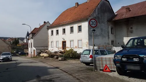
Bergmannsbauern-Museum
Museum · 8.5 km
Jeden Mittwoch von 19.00 – 22.00 Uhr und jeden 1. Sonntag von 14.00 – 18.00 Uhr sowie nach vorheriger Vereinbarung.
We 19:00-22:00; Su[1] 14:00-18:00
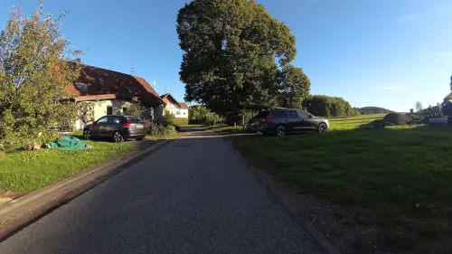
Landwirtschaftsmuseum Reitscheid
Museum · 7.8 km
3 Grügelborner Straße, Freisen
Su[1] 13:00-18:00; "und nach Vereinbarung"

The Philippi Collection
Museum · 10.1 km
Private collection of religious headgear

Vicus Wareswald
Monument and historic site · 8.5 km
Archaeological site in St. Wendel, Germany



81 more on the map.
Parks, trails and playgrounds34







22 more on the map.
Restaurants and cafes229
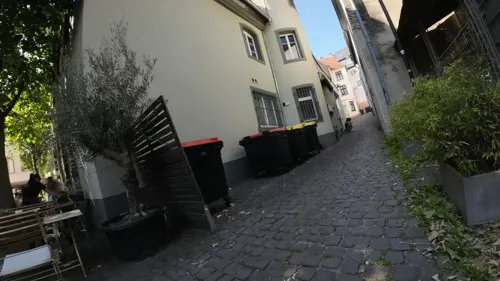
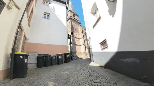
Event Galerie
Cafe
Klaus Riefer Art Design Kunst und Werbeagentur
6 Balduinstraße, Sankt Wendel
Mo-Fr 09:30-17:00
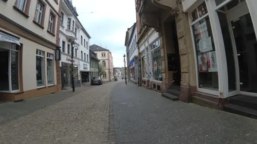

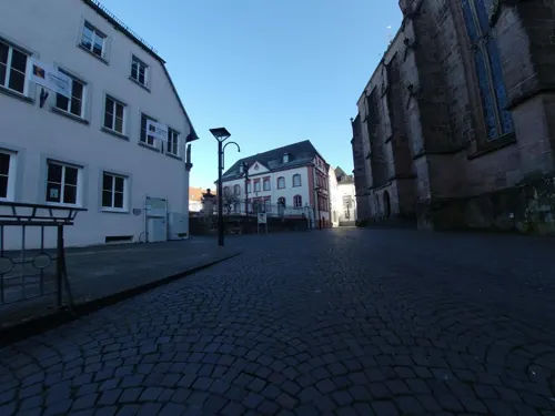
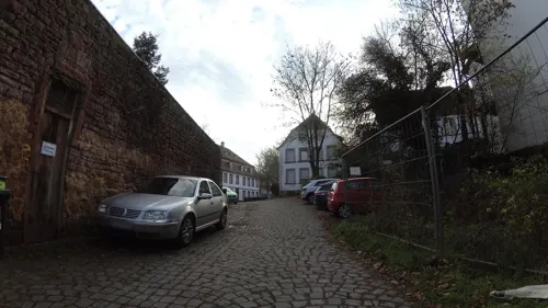
El Verde
Cafe · Sandwich, Coffee Shop · 7.0 km
8 Rathausplatz, Ottweiler
Tu-Sa 10:30-13:00
Keko-Bistro
Restaurant · Kebab, Turkish
72 Balduinstraße, Sankt Wendel
Tu-Th 12:00-22:00; Fr 12:00-23:00; Sa 16:00-23:00; Su 16:00-22:00
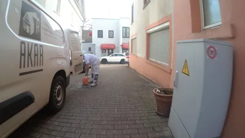
Osteria Zum Ochsen
Restaurant · Italian, Pizza, Pasta
Osteria, Pizzeria
40 Balduinstraße, Sankt Wendel
Mo, Tu, Th, Fr, Su 11:30-14:00, 17:30-22:30; Sa 17:30-22:30


217 more on the map.
History
The center of St. Wendel supposedly was the farm of a feudal lord named Baso from the Merovingian period (late 6th century), so the town was originally named Basonevillare ('farm of Baso'). Baso's farm was situated on Bosenberg's western side between the river Todtbach and the river Bosenbach. This term would probably have developed into Bosenweiler were it not for the local admiration of Wendelin. (Compare the names Bosenweiler, Bosenberg and Bosenbach, in which Baso's name has survived.)
In the mid-7th century the Bishop of Verdun, Paulus, bought Basonvillare. He also inherited the settlement of Tholey (without the monastery) from the Merovingian nobleman Adalgisel Grimo, Deacon of Verdun. As a result, the St. Wendel area belonged to Verdun for centuries.
Shortly before that the hermit Wendelin died near Basonvillare. He had been highly venerated by the people, and as a result, an intense pilgrimage developed during the next few centuries, which finally resulted in the renaming of the settlement Basonvillare to St. Wendel in the 12th century.
From the History section of Sankt Wendel on Wikipedia, under CC BY-SA 4.0.
Where to stay15
Churches and places of worship53
Evangelische Kirche
Church · Protestant · 4.9 km
14a Frohnhofer Straße, Werschweiler
Pfarrkirche Heilige Familie
Church · Catholic · 4.8 km
2 Poststraße, Sankt Wendel
Protestantische Kirche
Church · Protestant · 5.9 km
1 Bruchwiesstraße, Sankt Wendel
Shopping44
Gas and EV charging14
TotalEnergies Tankstelle Fürth
Gas station · 6.8 km
24 Dörrenbacher Straße, Ottweiler
Schools, colleges and libraries33
Healthcare18
Nieren- und Dialysezentrum St. Wendel
Clinic and pharmacy · 1.7 km
3 Am Hirschberg, St. Wendel
Map of Sankt Wendel
250 places. The map loads OpenStreetMap tiles when you open it.
Getting there and nearby towns
Saarbrücken Airport (SCN) is the nearest airport with scheduled flights listed in OpenStreetMap, 28 km away.
- Ottweiler 7 km south, about 7 min by car
- Marpingen 8 km west, about 8 min by car
- Tholey 10 km west, about 10 min by car
- Schiffweiler 11 km south, about 11 min by car
- Illingen 14 km southwest, about 14 min by car
- Nohfelden 14 km north, about 14 min by car
- Bexbach 15 km southeast, about 15 min by car
- Merchweiler 16 km southwest, about 16 min by car
- Eppelborn 16 km southwest, about 16 min by car
- Friedrichsthal 16 km south, about 16 min by car
Drive times are estimates from straight-line distance, not routes.
Local news
Headlines from INDB.
Reviews, tips and questions
Loading what members have shared...
Sources and licences
- GeoNames (CC BY 4.0): population, coordinates, regions and time zone
- Mapillary (see each image): photos
- OpenStreetMap contributors (ODbL 1.0): places, airports, map data
- Wikidata (CC0 1.0): elevation, founding date, time zone, website, landmarks and historic places
- Wikimedia Commons (see each image): photos
- Wikipedia (CC BY-SA 4.0): overview and history text
Photo credits
- Missionshaus St Wendel, MyName ( SecretDisc ), Public domain
- Sankt wendel 2016 0002, Klaus Graf, CC BY-SA 3.0
- Sankt Wendel, Am Schlossplatz 2, Wohn- und Geschaeftshaus, Jörg Zägel, CC BY-SA 4.0
- Sankt Wendel, Schlossstrasse 16, Wohn- und Geschaeftshaus 03, Jörg Zägel, CC BY-SA 4.0
- Sankt wendel 2016 0007, Klaus Graf, CC BY-SA 3.0
- Sankt wendel 2016 0004, Klaus Graf, CC BY-SA 3.0
- Sankt wendel 2016 0003, Klaus Graf, CC BY-SA 3.0
- Sammlung Philippi Stuecke, Dieter Philippi, CC BY-SA 3.0
- Ausgrabungsstaette Wareswald, Pascal Dihé, CC BY-SA 4.0
- Bosenberg002, Benutzer:Andreas.Didion, CC BY-SA 2.5
- GymnasiumOttweiler, Unknown author, CC BY-SA 3.0
- Weiselberg, GDelhey, CC BY-SA 3.0
- StWendelDomFront, Lokilech, CC BY-SA 3.0
- Gymnasium Wendalinum St. Wendel 05, Florian Decker, Messdiener Winterbach, CC BY-SA 3.0
- Winterbach Heilige Familie 01, atreyu, CC BY-SA 3.0
- Niederkirchen Margarethenkirche 01, atreyu, CC BY-SA 3.0
- Dörrenbach Kirche 01, Gabriele Delhey, CC BY-SA 3.0
- Hoof, Evangelische Kirche (2), Cmcmcm1, CC BY-SA 3.0
- Werschweiler Evangelische Kirche 02, atreyu, CC BY-SA 3.0
- Panoramaturm Betzelhübel-2, Muck, CC BY-SA 4.0
- Mia-Münster-Haus St. Wendel, Florian Decker, Messdiener Winterbach, CC BY-SA 3.0
- 20210814 Mainzweiler Ottweiler 02, Flocci Nivis, CC BY 4.0
- OEM 4241-HDR-Bearbeitet, Oliverelm, CC BY-SA 4.0
- 20210814 Naturschutzgebiet Steinberg Oberlinxweiler Remmesweiler 09, Flocci Nivis, CC BY 4.0
- Major-Grieshammer-Stollen, Pascal Dihé, CC BY-SA 4.0
- Cusanus-Gymnasium St. Wendel 02, Hannah Brill, Messdiener Winterbach, CC BY-SA 3.0
- Fürth im Ostertal, Evangelische Kirche (2), Cmcmcm1, CC BY-SA 4.0
- Hirstein, Evangelische Kirche (1), Cmcmcm1, CC BY-SA 3.0
- Steinbach (Bei Ottweiler), Evangelische Kirche (1), Cmcmcm1, CC BY-SA 4.0
- Gehweiler (Namborn), St. Michael (2), Cmcmcm1, CC BY-SA 4.0
- Remmesweiler, Evangelische Kirche (2), Cmcmcm1, CC BY-SA 4.0
- Hofeld-Schlossberg-20091019-08, Speifensender, CC BY-SA 3.0
- Grenzstein Urexweiler 34, Pelayo 08, CC BY-SA 4.0
- Grenzstein-Urexweiler-37, Thomas Besse, Riegelsberg, CC0
- Grenzstein-Urexweiler-38, Thomas Besse, Riegelsberg, CC0
- Grenzstein-Urexweiler-39, Thomas Besse, Riegelsberg, CC0
- 20200607 Wendelinus Pilgerweg 08, Flocci Nivis, CC BY 4.0
- Strasse der Skulpturen Erdsäule, Gabriele Delhey, CC BY-SA 3.0
- StWendelBasilika-1, Lokilech , edited by ttog, CC BY-SA 3.0
- 20210814 Bahnhofstraße 21-23 St. Wendel, Flocci Nivis, CC BY 4.0
- Panoramaturm Betzelhübel-Aussicht, Muck, CC BY-SA 4.0
- Street-level photo, teddy73, CC BY-SA 4.0
- Street-level photo, teddy73, CC BY-SA 4.0
- Street-level photo, teddy73, CC BY-SA 4.0
- Street-level photo, teddy73, CC BY-SA 4.0
- Street-level photo, teddy73, CC BY-SA 4.0
- Street-level photo, teddy73, CC BY-SA 4.0
- Street-level photo, teddy73, CC BY-SA 4.0
- Street-level photo, teddy73, CC BY-SA 4.0
- Street-level photo, teddy73, CC BY-SA 4.0
- Street-level photo, teddy73, CC BY-SA 4.0
- Street-level photo, teddy73, CC BY-SA 4.0
- Street-level photo, teddy73, CC BY-SA 4.0
- Street-level photo, teddy73, CC BY-SA 4.0
- Street-level photo, teddy73, CC BY-SA 4.0
- Street-level photo, teddy73, CC BY-SA 4.0
- Street-level photo, teddy73, CC BY-SA 4.0
- Street-level photo, teddy73, CC BY-SA 4.0
- Street-level photo, teddy73, CC BY-SA 4.0
- Street-level photo, teddy73, CC BY-SA 4.0
- Street-level photo, teddy73, CC BY-SA 4.0
- Street-level photo, teddy73, CC BY-SA 4.0


Page built November 8, 2026. Spotted a mistake? Tell us or suggest a place.