


Why visit Wehrheim
Townapedia lists 81 museums and landmarks, 24 parks and trails, 101 places to eat, 10 places to stay and 25 attractions in and around town.
Highlights include Gickelsburg, Herzbergturm, Römerkastell Saalburg and Bleibeskopf.
Weather in Wehrheim
Forecast from MET Norway (CC BY 4.0). Full forecast
About Wehrheim
Wehrheim (German pronunciation: [ˈveːɐ̯haɪm]) is a municipality in Hesse, Germany, some 30 km (20 mi) north of Frankfurt am Main.
From the Wikipedia article Wehrheim (this version), under CC BY-SA 4.0.
Things to do25

Gickelsburg
Scenic view · 3.9 km
Ringwallsiedlung aus der Hallstattzeit, ca. 500 v. Chr.

Herzbergturm
Scenic view · 5.2 km
Blick über die Rhein-Main-Ebene inkl. Bad Homburg, Frankfurt - bei guter Sicht bis Odenwald




13 more on the map.
Museums and landmarks81

Römerkastell Saalburg
Museum · 3.2 km
1 Am Römerkastell, Bad Homburg v. d. Höhe
Mar-Oct Mo-Su 09:00-18:00; Nov-Feb Tu-Su 09:00-16:00


Saalburg Roman Fort
Monument and historic site · 3.2 km
Cohort castrum, part of the Limes Germanicus, and is the most completely reconstructed Roman fort in Germany


Römischer Limes
Monument and historic site · 3.2 km
UNESCO Designated Wold Heritage Site


69 more on the map.
Parks, trails and playgrounds24
Freilichtmuseum Hessenpark
Sports field and stadium · 4.0 km
5 Laubweg, Neu-Anspach
Mar-Nov 09:00-18:00; Nov-Mar 10:00-17:00





12 more on the map.
Restaurants and cafes101

Hellas Makedonia
Bar and pub · Greek · 2.3 km
3 Bahnhof Saalburg, Friedrichsdorf
Apr-Oct: Tu,Th-Sa 17:00-21:00; Apr-Oct: Su,PH 12:00-21:00;...
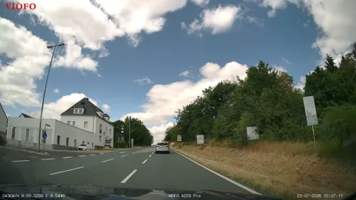
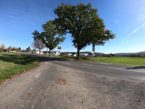
Privatbrauerei Löwenherz
Restaurant · Bavarian · 0.6 km
15 Am Erlenbach, Wehrheim
We-Fr 17:00-23:30; Sa,Su 11:30-23:30

Schloß-Cafe Keth
Cafe · Cake, Ice Cream · 4.4 km
Bäckerei öffnet 07:30 bzw. 8:00
2 Obergasse, Usingen
Mo off; Tu-Fr 08:30-18:00; Sa 10:00-18:00; Su 09:30-18:00
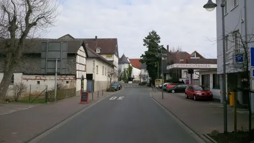
Café Klatsch
Cafe · Ice Cream
4 Bahnhofstraße, Wehrheim
Mo-Fr 07:00-23:30; Sa 08:00-23:30; Su 08:00-21:00
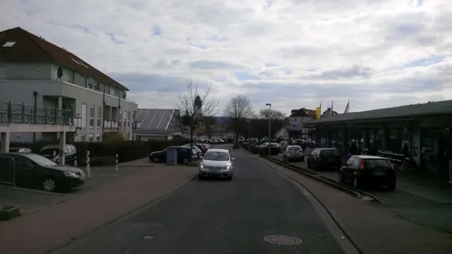
China Thai Restaurant Rong Town
Restaurant · Chinese, Thai · 4.6 km
24 Am Riedborn, Usingen
Mo-Su 11:00-15:30,17:00-22:30
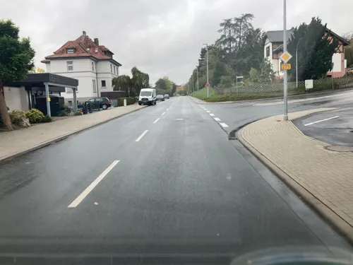
Gasthaus "Zur Schönen Aussicht"
Restaurant · Regional · 4.8 km
20 Neutorstraße, Usingen
11:30-14:00,17:30-24:00; Mo,Sa off
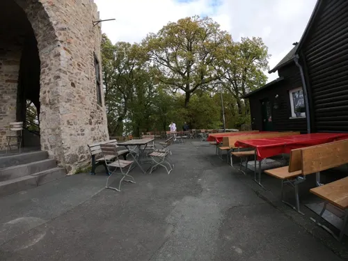
Gasthof Herzberg
Restaurant · German · 5.2 km
1 Am Herzbergturm, Bad Homburg v. d. Höhe
Mo-Tu off; We-Th 11:00-18:00; Fr-Sa 11:00-20:00; Su,PH 11:00-18:00
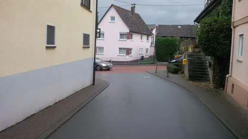
Gasthof Zum Engel
Restaurant · German · 2.8 km
15 Saalburgstraße, Wehrheim
Mo,Tu,Th-Sa 17:00-24:00; Su,PH 11:00-24:00; We off

Heimspiel
Restaurant · Pizza, Pasta, German · 3.3 km
Herzbergstraße, Wehrheim
Tu-Th 17:00-22:30; Fr-Su 11:30-22:30; Mo off


Landgasthof Saalburg
Restaurant · 3.6 km
Keine Übernachtung möglich / no accomodation
10 An der Jupitersäule, Bad Homburg v. d. Höhe
Mo-Su 11:00-23:00
89 more on the map.
History
The first traces of settlement go back to the Bronze Age. In Wehrheim, a burying ground from the early to middle Urnfield culture (11th to 10th century BC) was discovered. Wehrheim im Taunus itself had its first documentary mention in 1046. In 1372, the village was granted town rights, which it however lost again in 1814. The town's overlords changed several times, from the Castle Counts of Friedberg to the Counts of Diez, the area then passing to Nassau-Dillenburg and finally to Prussia in 1866. In 1895 the railway line from Bad Homburg vor der Höhe – then still called Homberg – through Friedrichsdorf to Usingen came into operation, and was extended to Weilburg a few years later, linking the community a bit more closely with the Frankfurt area, a trend that would continue in the coming century.
As part of Hesse's municipal reforms, the communities of Wehrheim, Obernhain, Pfaffenwiesbach and Friedrichsthal merged into the new greater community of Wehrheim in 1972.
From the History section of Wehrheim on Wikipedia, under CC BY-SA 4.0.
Where to stay10
Churches and places of worship22
Shopping29
Gas and EV charging10
Schools, colleges and libraries12
Healthcare10
Kleeblatt Apotheke
Clinic and pharmacy · 3.8 km
11 Rudolf-Diesel-Straße, Neu-Anspach
Map of Wehrheim
250 places. The map loads OpenStreetMap tiles when you open it.
Getting there and nearby towns
Frankfurt Airport (FRA) is the nearest airport with scheduled flights listed in OpenStreetMap, 31 km away.
- Usingen 4 km northwest, about 4 min by car
- Neu-Anspach 5 km west, about 5 min by car
- Friedrichsdorf 8 km southeast, about 8 min by car
- Rosbach vor der Höhe 9 km east, about 9 min by car
- Bad Homburg vor der Höhe 9 km southeast, about 9 min by car
- Oberursel 10 km south, about 10 min by car
- Friedberg 14 km east, about 14 min by car
- Bad Nauheim 14 km northeast, about 14 min by car
- Königstein im Taunus 15 km southwest, about 15 min by car
- Steinbach am Taunus 15 km south, about 15 min by car
Drive times are estimates from straight-line distance, not routes.
Local news
Headlines from INDB.
Reviews, tips and questions
Loading what members have shared...
Sources and licences
- GeoNames (CC BY 4.0): population, coordinates, regions and time zone
- Mapillary (see each image): photos
- OpenStreetMap contributors (ODbL 1.0): places, airports, map data
- Wikidata (CC0 1.0): elevation, founding date, time zone, website, landmarks and historic places
- Wikimedia Commons (see each image): photos
- Wikipedia (CC BY-SA 4.0): overview and history text
Photo credits
- Rotes Rathaus Wehrheim, Karsten Ratzke, Public domain
- Wehrheimer Ellipse, Karsten11, CC0
- Wehrheimer Ellipse (1), Karsten11, CC0
- Wehrheim, Denkmal an die Opfer von Nationalsozialismus, Krieg und Vertreibung, Karsten11, CC0
- Wehrheim Bf Gemaelde ICE, MdE, CC BY-SA 3.0 de
- Wehrheim, Limesstraße, Grenzsteine, Grenzstein GH 2 HN 181 (2), Karsten11, CC0
- Wehrheim Traubeneiche Bizzenbachtal, Kuehner, CC BY-SA 4.0
- Wehrheim, Limesstraße, Grenzsteine, Grenzstein LH 158 HN 170 (1), Karsten11, CC0
- Wehrheim, Limesstraße, Grenzsteine, Grenzstein LH 161 HN 173 (2), Karsten11, CC0
- Wehrheim, Limesstraße, Grenzsteine, Grenzstein LH 165 HN 177, Karsten11, CC0
- Bleibeskopf 76, Leipold, Marc, Public domain
- Frankfurt Tempel mit Turm 2005 08 26, Donny Wöllauer, CC BY-SA 3.0
- Hessenpark-weinberg+rhein-main-001, Dontworry, CC BY-SA 3.0
- Saalburg Main Gate (Porta Praetoria), en:User:Ekem, Public domain
- Wehrheim Obernhain, MdE, CC BY-SA 3.0
- Baitul-Huda-Moschee Usingen, Karsten Ratzke, Public domain
- Obernhain, Drusenknüppel, Karsten11, Public domain
- Hochtaunus 18.9.2010 013, Frank Winkelmann, CC BY 3.0
- Usingen Laurentiuskirche, Volker Thies ( Asdrubal ), CC BY-SA 3.0
- Lochmühle 068, Peng 17:50, 8 August 2007 (UTC), CC BY-SA 3.0
- Gickelsburg Taunus 2021-08-12 28, Leonhard Lenz, CC0
- Hessenpark, Kapelle aus Lollar, Karsten11, Public domain
- Kapersburg Taunus 2021-04-02 05, Leonhard Lenz, CC0
- Gordon-Bennett, loki11, Public domain
- Usingen CWS Neubau, Karsten11, Public domain
- Hessenpark, Kirche aus Kohlgrund (1), Karsten Ratzke, CC0
- Marmorstein, FkMohr, CC BY-SA 3.0 de
- Hessenpark, Synagoge aus Nentershausen, Karsten Ratzke, CC BY-SA 3.0
- 20190420 125107 Windmühle Borsfleth, Hessenpark anagoria, Anagoria, CC BY 3.0
- 2009 0727Röllbach0019, Anarabert, CC BY 3.0
- Herzbergturm 1, Muck, CC BY-SA 4.0
- 20190420 131312 Kirche aus Ederbringhausen (Hessenpark) anagoria, Anagoria, CC BY 3.0
- Wehrheim katholische Kirche, Karsten11, Public domain
- Gordon bennett p 046, Peng ( talk ) 13:41, 24 July 2011 (UTC), CC0
- Wehrheim WoMo stellplatz, Elgaard, CC BY-SA 4.0
- Kransberg Pfarrkirche, Osingar, CC BY-SA 4.0
- Herzberg-2011-oberursel-161, Dontworry, CC BY-SA 3.0
- Limes2, ziegelbrenner, CC BY-SA 3.0
- The Porta Praetoria (Main Gate), Saalburg Roman Fort, Limes Germanicus, Germania (Germany) (33873748544), Carole Raddato from FRANKFURT, Germany, CC BY-SA 2.0
- Kapersburg Tor, Volker Thies ( Asdrubal ), CC BY-SA 3.0
- Saalburgrestaurant am Römerkastell, 4spring, CC0
- Street-level photo, tmka, CC BY-SA 4.0
- Street-level photo, Jeykey90, CC BY-SA 4.0
- Street-level photo, pl474, CC BY-SA 4.0
- Street-level photo, sdos77, CC BY-SA 4.0
- Street-level photo, sdos77, CC BY-SA 4.0
- Street-level photo, sdos77, CC BY-SA 4.0
- Street-level photo, sdos77, CC BY-SA 4.0
- Street-level photo, sdos77, CC BY-SA 4.0
- Street-level photo, chuck, CC BY-SA 4.0
- Street-level photo, jurgenweighardt, CC BY-SA 4.0
- Street-level photo, mapcreator, CC BY-SA 4.0
- Street-level photo, tmka, CC BY-SA 4.0
- Street-level photo, sdos77, CC BY-SA 4.0
- Street-level photo, pl474, CC BY-SA 4.0
- Street-level photo, tmka, CC BY-SA 4.0
- Street-level photo, pl474, CC BY-SA 4.0
- Street-level photo, sdos77, CC BY-SA 4.0
- Street-level photo, pkk593, CC BY-SA 4.0
- Street-level photo, mapcreator, CC BY-SA 4.0
- Street-level photo, pl474, CC BY-SA 4.0
- Street-level photo, sdos77, CC BY-SA 4.0


Page built November 9, 2026. Spotted a mistake? Tell us or suggest a place.