


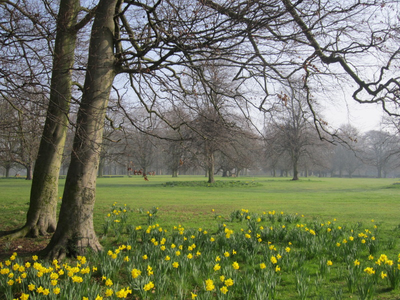


Allerton, United Kingdom
Allerton is a town of 15,540 people in England, United Kingdom.
Why visit Allerton
Townapedia lists 19 museums and landmarks, 26 parks and trails, 85 places to eat, 4 places to stay and 5 attractions in and around town.
Highlights include Woolton Cinema, Cineworld, Sudley House and Calderstones Park.
Weather in Allerton
Forecast from MET Norway (CC BY 4.0). Full forecast
About Allerton
Allerton is a suburb of the city of Liverpool, in the county of Merseyside, England. Historically in Lancashire, it is located 3 mi (5 km) south-east of the city centre and is bordered by the suburbs of Garston, Hunt's Cross, Mossley Hill and Woolton. It has a number of large houses in the prestigious Calderstones Park area, with mainly 1930s semi-detached housing around the shopping area of Allerton Road. It is paired with Hunts Cross to form the Allerton and Hunts Cross city council ward, which had a population of 14,853 at the 2011 census.
From the Wikipedia article Allerton, Liverpool (this version), under CC BY-SA 4.0.
Photos of Allerton


Things to do5




Museums and landmarks19


Calderstones Park
Monument and historic site · 1.0 mi
Public park in Liverpool, England

20 Forthlin Road
Museum
House in which Paul McCartney had lived for several years

Mendips, Menlove Avenue
Museum · 0.9 mi
Childhood home of John Lennon in Liverpool, Merseyside, England, UK

Robin Hood's Stone
Monument and historic site · 0.5 mi
Menhir in Liverpool, Merseyside, England, UK

Speke Hall
Museum · 2.2 mi
Tudor house in Liverpool, Merseyside, England, UK
John Lennon's Childhood Home
Monument and historic site · 0.9 mi
251 Menlove Avenue, Liverpool
Paul McCartney's Childhood Home
Monument and historic site
20 Forthlin Road, Liverpool

7 more on the map.
Parks, trails and playgrounds26


Allerton Tower Park
Park · 0.7 mi
Public park on what was a country estate

Belle Vale Park
Park · 2.0 mi
Small family park in the Belle Vale area of Liverpool


Princes Park
Park · 2.8 mi
Grade II* listed municipal park in Liverpool, Merseyside, England, UK

Sefton Park
Park · 2.0 mi
Public park in south Liverpool, Merseyside, England, UK


Liverpool Municipal South (Allerton) Golf Course
Golf course · 0.6 mi
18 hole Par 67 & 9 hole Par 34
Allerton Road, Liverpool
Speke and Garston Coastal Reserve
Park · 1.9 mi
Nature reserve in Liverpool, UK
14 more on the map.
Restaurants and cafes85
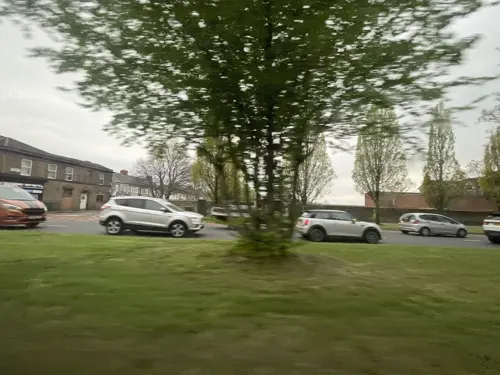
5 Fifty Bistro
Cafe · Bistro · 1.0 mi
550 Aigburth Road, Liverpool
Mo-We Off; Th-Sa 18:00-22:00; Su 13:00-17:30
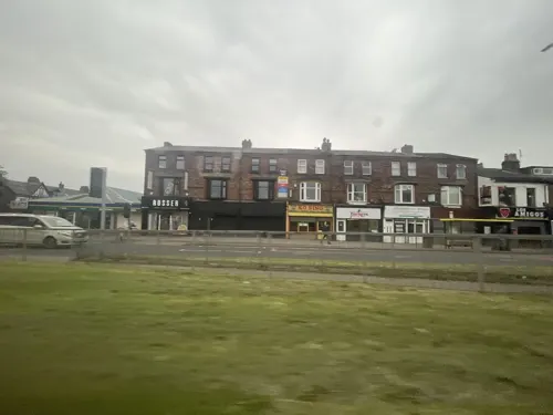
Christakis
Restaurant · Greek · 1.0 mi
544-548 Aigburth Road, Liverpool
Mo-Sa 15:00-23:00; Su 15:00-22:00
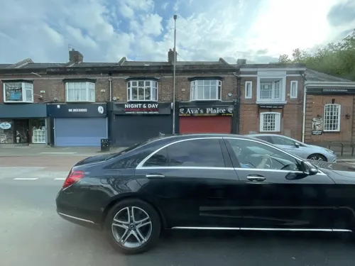



Amakura
Cafe · 0.7 mi
1-3 Booker Avenue, Liverpool
Mo-Th 09:30-16:00
Costa
Cafe · Coffee Shop · 0.7 mi
Woolton Road, Liverpool
Mo-Fr 06:00-19:30; Sa 06:30-19:00; Su 09:00-18:00
73 more on the map.
History
In the Domesday Book, Allerton appears as Alretune, meaning "the alder enclosure". This was derived from the Old English alr, meaning "alder", and tún, meaning "enclosure or village". Allerton was formerly a township in the parish of Childwall, in 1866 Allerton became a separate civil parish, it was made an urban district by the Local Government Act 1894, and added to the county borough of Liverpool on 9 November 1913.
On 1 April 1922, the parish was abolished and merged with Liverpool. In 1921, the parish had a population of 2070. Over the course of the 2010s, many new bars and restaurants have opened on Allerton Road, increasing its popularity.
From the History section of Allerton, Liverpool on Wikipedia, under CC BY-SA 4.0.
Notable people from Allerton
 Alex FletcherBritish actressPhoto: Ian Smith, CC BY-SA 2.0
- Terry SylvesterBritish musician
- John AlmondEnglish priest, martyr, and saint
- John PowerEnglish singer-songwriter
- Hugh O'LearyBritish accountant
- Ivor Wynne JonesBritish journalist
- Marjorie GravesBritish politician (1884-1961)
Born in Allerton, according to Wikidata (CC0). Each name links to its Wikipedia article.
Where to stay4
Churches and places of worship54
Shopping16
Gas and EV charging4
Schools, colleges and libraries33
Our Lady's Bishop Eton Catholic Primary School
School · Roman Catholic · 1.5 mi
Green Lane, Liverpool
Bishop Martin Church of England Primary School, Woolton
School · Anglican · 1.1 mi
Church Road, Liverpool
Healthcare11
Map of Allerton
250 places. The map loads OpenStreetMap tiles when you open it.
Getting there and nearby towns
Liverpool John Lennon Airport (LPL) is the nearest airport with scheduled flights listed in OpenStreetMap, 3 miles away.
- Mossley Hill 1 mi northwest, about 2 min by car
- Woolton 1 mi northeast, about 2 min by car
- Childwall 2 mi north, about 3 min by car
- Halewood 3 mi east, about 4 min by car
- Speke 3 mi southeast, about 5 min by car
- Dingle 3 mi west, about 5 min by car
- Old Swan 3 mi north, about 5 min by car
- Knotty Ash 3 mi north, about 5 min by car
- Bromborough 4 mi west, about 6 min by car
- Liverpool 5 mi northwest, about 7 min by car
Drive times are estimates from straight-line distance, not routes.
Towns near Allerton


Keep exploring
Local news
Headlines from INDB.
Reviews, tips and questions
Loading what members have shared...
Sources and licences
- GeoNames (CC BY 4.0): population, coordinates, regions and time zone
- Mapillary (see each image): photos
- OpenStreetMap contributors (ODbL 1.0): places, airports, map data
- Wikidata (CC0 1.0): elevation, founding date, time zone, website, landmarks and historic places
- Wikimedia Commons (see each image): photos
- Wikipedia (CC BY-SA 4.0): overview and history text
Photo credits
- Sudley House Liverpool, Man vyi, Public domain
- Robin Hood's Stone 1, Rodhullandemu, CC BY-SA 4.0
- Speke Hall moated site, Liverpoolpics, CC BY-SA 3.0
- Clarkes Gardens, Allerton (1), Reptonix free Creative Commons licensed photos, CC BY 3.0
- Lodge of Allerton Towers 2019, Rodhullandemu, CC BY-SA 4.0
- Belle Vale Park, Liverpool (1), Rept0n1x, CC BY-SA 3.0
- Otterspool Promenade, Liverpoolpics, CC BY-SA 3.0
- Sefton Park Palm House, Liverpool, England-26Dec2009, Ben James, CC BY-SA 2.0
- All Saints, Speke, Rodhullandemu, CC BY-SA 4.0
- All Saints, Childwall from the south, Rodhullandemu, CC BY-SA 4.0
- Christ Church, Linnet Lane, Liverpool (6), Rept0n1x, CC BY-SA 3.0
- All Hallows, Allerton 1, Rodhullandemu, CC BY-SA 3.0
- St Bridget's Church, Wavertree, Sue Adair, CC BY-SA 2.0
- Frontage, St Anne's Aigburth 1, Rodhullandemu, CC BY-SA 4.0
- St Clare's 201711-1, Rodhullandemu, CC BY-SA 4.0
- St Clement, Beaumont Street, Rodhullandemu, CC BY-SA 3.0
- St Dunstan's church, Liverpool (3), Rept0n1x, CC BY-SA 3.0
- St Matthew and St James, Rose Lane, Liverpool 2019, Rodhullandemu, CC BY-SA 4.0
- Parish of Saint Agnes and Saint Pancras Toxteth Park June 10 2010 043, John Bradley, CC BY-SA 3.0
- Calderstones House, Sue Adair, CC BY-SA 2.0
- Paulhousenationaltrust, Havaska at English Wikipedia, CC BY-SA 3.0
- Mendips 202001, Rodhullandemu, CC BY-SA 4.0
- Allerton Hall, Sue Adair, CC BY-SA 2.0
- Enterprise South Liverpool Academy, Doodyc, CC BY-SA 3.0
- New Mersey Shopping Park, Liverpoolpics, CC BY-SA 3.0
- St Julie's Catholic High School, Frombowen, CC BY-SA 4.0
- Woolton Picture House (1), Reptonix free Creative Commons licensed photos, CC BY 3.0
- St Margaret's Church of England Academy, Frombowen, CC BY-SA 4.0
- Our Lady's Bishop Eton Catholic Primary School, Frombowen, CC BY-SA 4.0
- Carleton House Preparatory School, Frombowen, CC BY-SA 4.0
- St Austin's Catholic Primary School, Frombowen, CC BY-SA 4.0
- Allerton Hall 2016(1), Rodhullandemu, CC BY-SA 3.0
- Calderstones House 2017-1, Rodhullandemu, CC BY-SA 4.0
- Arriva NW Volvo Olympian Palatine 2, Quackdave, Public domain
- Mather Avenue north of Springwood Avenue, Rodhullandemu, CC BY-SA 4.0
- 20 Forthlin Road, Liverpool, England 2012-07-25 (7923284396), Guillaume Baviere from Uppsala, Sweden, CC BY 2.0
- 20 Forthlin Road, Liverpool, England 2012-07-25 (7923281936), Guillaume Baviere from Uppsala, Sweden, CC BY 2.0
- Brodie Avenue from Greenhill Road roundabout, Rodhullandemu, CC BY-SA 4.0
- Brodie Avenue beyond Greenhill Road roundabout, Rodhullandemu, CC BY-SA 4.0
- Mossley Hill Athletic 1, Rodhullandemu, CC BY-SA 3.0
- Court Hey Park, Frombowen, CC BY-SA 4.0
- Substation in Prince's Park, Liverpool, Rodhullandemu, CC BY-SA 3.0
- Street-level photo, filipb, CC BY-SA 4.0
- Street-level photo, filipb, CC BY-SA 4.0
- Street-level photo, ricorico, CC BY-SA 4.0
- Street-level photo, ricorico, CC BY-SA 4.0
- Street-level photo, filipb, CC BY-SA 4.0
- Street-level photo, ricorico, CC BY-SA 4.0
- Street-level photo, cyclestreets, CC BY-SA 4.0
- Street-level photo, davidsong, CC BY-SA 4.0
- Street-level photo, filipb, CC BY-SA 4.0
- Street-level photo, cyclestreets, CC BY-SA 4.0


Page built November 10, 2026. Spotted a mistake? Tell us or suggest a place.