


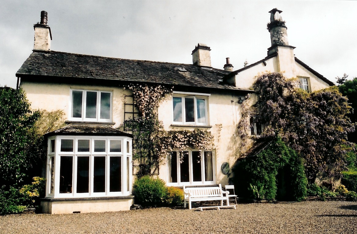

Ambleside, United Kingdom
Ambleside is a town of 2,529 people in England, United Kingdom.
Why visit Ambleside
Townapedia lists 14 museums and landmarks, 7 parks and trails, 67 places to eat, 67 places to stay and 11 attractions in and around town.
Highlights include Zeffirellis, Elterwater Bridge, Bridge House and Dove Cottage.
Weather in Ambleside
Forecast from MET Norway (CC BY 4.0). Full forecast
About Ambleside
Ambleside is a town in the civil parish of Lakes and the Westmorland and Furness district of Cumbria, England. Within the boundaries of the historic county of Westmorland and located in the Lake District National Park, the town sits at the head of Windermere, England's largest natural lake. In 2022 the built up area had an estimated population of 2,586.
From the Wikipedia article Ambleside (this version), under CC BY-SA 4.0.
Travel tips from other travellers: Ambleside on Wikivoyage (CC BY-SA 4.0).
Photos of Ambleside

Things to do11


Elterwater Bridge
Bridge · 3.1 mi
Stone-arch road bridge in Elterwater, South Lakeland, Cumbria, England, UK


Zefferelli's By The Park
Cinema and theater
Church Walk, Ambleside


Museums and landmarks14


Dove Cottage
Museum · 2.7 mi
House museum in Grasmere, Cumbria, United Kingdom





2 more on the map.
Parks, trails and playgrounds7



Restaurants and cafes67
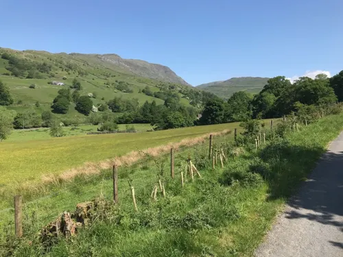
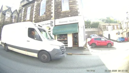
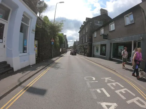
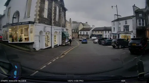



55 more on the map.
History
The town's name is derived from the Old Norse "Á-mel-sǽtr" which literally translates as "river – sandbank – summer pasture".
On the southern edge of Ambleside is the Roman fort of Galava, dating from AD 79.
In 1650 the town was granted a charter to hold a market. In the reign of James II, another charter was granted for the town to collect tolls. The town's Market Place became the commercial centre for agriculture and the wool trade. The old packhorse trail between Ambleside and Grasmere was the main route between the two towns before the new turnpike road was completed in 1770. Smithy Brow at the end of the trail was where pack ponies were re-shod after their journey. With the coming of the turnpikes, the packhorse trains were superseded by horse-drawn stagecoaches, which regularly travelled between Keswick and Kendal via Ambleside.
The Samling Hotel was built in the 1780s, then called the "Dove Nest".
Ambleside & District Golf Club founded in 1903 ended in the late 1950s; Windermere Golf Club is a few miles along the lake's east side.
The Armitt Library and Museum opened in 1912 in memory of Sophia and Mary Louisa Armitt is notable as a resource for history. Its main resident collection overviews Lake District artists and writers with display panels, photographs and copies of their key works, and some originals of minor works.
From the History section of Ambleside on Wikipedia, under CC BY-SA 4.0.
More about Ambleside
Economy
"Steamers" are the throwback name for the ferries (diesel-propelled) which run most days to Bowness-on-Windermere and Lakeside offering fine views of the lake and the mountains.
Ambleside is a base for hiking, mountaineering and mountain biking. It has several hotels, guest houses, restaurants and shops. Specialist shops sell equipment, guides and give recommendations to walkers, backpackers and climbers. Ambleside is a popular starting point for the Fairfield horseshoe, a hillwalking ridge hike.
A concentration of ten pubs or bars within a quarter-mile radius reflects how the local hospitality market serves residents, tourists, visitors and the student population associated with the University of Cumbria.
Ambleside is also home to two Michelin-starred restaurants, Lake Road Kitchen and The Old Stamp House, both of which have been recognised for their innovative tasting menus.
Education
The Ambleside campus of the University of Cumbria, formerly St. Martin's College and Charlotte Mason College, is at the northern end of the town; courses held at the campus include Conservation, Forestry, and Outdoor Studies.
On 1 December 2009, it was announced that the Ambleside campus would be 'mothballed' at the end of July 2010, and would no longer take new undergraduate students. The closure was in the face of fierce opposition from the Ambleside students, the townspeople, and support pledged from Tim Farron, MP for the campus and its students.
In July 2011, the university announced a plan to reopen the campus and increase student numbers at the Ambleside campus beginning in 2014. In September 2014, the newly refurbished campus was reopened.
Brathay Exploration Group, a youth charity, mainly meets at associated Clappersgate.
From the Wikipedia article Ambleside, under CC BY-SA 4.0.
Notable people from Ambleside
 Annie ConwayBritish athletics competitorPhoto: Paul dobson from ENGLAND, CC BY 2.0
- John CowardBritish ice hockey player (1907–1989)
- Charles Robert BreeBritish physician (1811–1886)
- Tom BeethamEnglish rugby union and rugby league footballer
Born in Ambleside, according to Wikidata (CC0). Each name links to its Wikipedia article.
Where to stay67
Churches and places of worship10
Shopping40
Gas and EV charging1
Schools, colleges and libraries4
Healthcare2
Map of Ambleside
223 places. The map loads OpenStreetMap tiles when you open it.
Getting there and nearby towns
Walney Aerodrome (BWF) is the nearest airport with scheduled flights listed in OpenStreetMap, 24 miles away.
- Staveley 7 mi southeast, about 11 min by car
- Burneside 10 mi southeast, about 16 min by car
- Kendal 11 mi southeast, about 18 min by car
- Shap 13 mi northeast, about 22 min by car
- Milnthorpe 16 mi southeast, about 26 min by car
- Ulverston 17 mi south, about 28 min by car
- Arnside 17 mi south, about 27 min by car
- Penrith 18 mi northeast, about 29 min by car
- Flookburgh 18 mi south, about 29 min by car
- Swarthmoor 18 mi south, about 29 min by car
Drive times are estimates from straight-line distance, not routes.
Towns near Ambleside


Keep exploring
Local news
Headlines from INDB.
Reviews, tips and questions
Loading what members have shared...
Sources and licences
- GeoNames (CC BY 4.0): population, coordinates, regions and time zone
- Mapillary (see each image): photos
- OpenStreetMap contributors (ODbL 1.0): places, airports, map data
- Wikidata (CC0 1.0): elevation, founding date, time zone, website, landmarks and historic places
- Wikimedia Commons (see each image): photos
- Wikipedia (CC BY-SA 4.0): overview and history text
Photo credits
- Shops in Ambleside (6789), Nilfanion, CC BY-SA 4.0
- Ambleside (29880205404), Jorge Franganillo, CC BY 2.0
- Bridge over Langdale Beck at Elterwater, Cumbria UK - panoramio, Robert Freeman, CC BY-SA 3.0
- Dove Cottage, Sourav Niyogi, CC BY-SA 3.0
- Rydal Mount, P.K.Niyogi, CC BY-SA 3.0
- Jesus Church, Troutbeck, Antiquary, CC BY 4.0
- St Oswalds' Church, Grasmere, Brian Clift, CC BY-SA 2.0
- St Mary's church Spire, FFNick, CC BY-SA 3.0
- Wansfell from Garburn Track, Mick Knapton at English Wikipedia, CC BY-SA 3.0
- Bridge House Ambleside, Rob Bendall ( Highfields ), Attribution
- Sundial and Balustrade, FFNick, CC BY-SA 3.0
- Glen Rothay Hotel, Maigheach-gheal, CC BY-SA 2.0
- Lakes - Wateredge Hotel -, Gweduni, CC BY-SA 4.0
- Zeffs by the park cinema - panoramio, flipflopnick, CC BY-SA 3.0
- Game Larder, FFNick, CC BY-SA 3.0
- Ghiacciaie di Boboli 01, sailko, CC BY 2.5
- Holy Trinity, Brathay, Peter, CC BY-SA 2.0
- St Mary's Church, Ambleside (6795), Nilfanion, CC BY-SA 4.0
- Street-level photo, OrangeHurst97, CC BY-SA 4.0
- Street-level photo, adam2, CC BY-SA 4.0
- Street-level photo, joostjakob, CC BY-SA 4.0
- Street-level photo, OrangeHurst97, CC BY-SA 4.0
- Street-level photo, aidan573, CC BY-SA 4.0
- Street-level photo, southglos, CC BY-SA 4.0
- Street-level photo, aidan573, CC BY-SA 4.0
- Street-level photo, OrangeHurst97, CC BY-SA 4.0
- Street-level photo, IpswichEdits, CC BY-SA 4.0
- Street-level photo, martinbag, CC BY-SA 4.0
- Street-level photo, OrangeHurst97, CC BY-SA 4.0
- Street-level photo, OrangeHurst97, CC BY-SA 4.0
- Street-level photo, aidan573, CC BY-SA 4.0
- Street-level photo, IpswichEdits, CC BY-SA 4.0
- Street-level photo, aidan573, CC BY-SA 4.0
- Street-level photo, joostjakob, CC BY-SA 4.0
- Street-level photo, IpswichEdits, CC BY-SA 4.0
- Street-level photo, OrangeHurst97, CC BY-SA 4.0
- Street-level photo, OrangeHurst97, CC BY-SA 4.0


Page built November 10, 2026. Spotted a mistake? Tell us or suggest a place.