
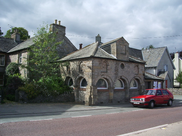


Why visit Shap
Townapedia lists 7 museums and landmarks, 1 park or trail, 4 places to eat, 5 places to stay and 2 attractions in and around town.
Highlights include Shap Abbey and Shap Stone Avenue.
Weather in Shap
Forecast from MET Norway (CC BY 4.0). Full forecast
About Shap
Shap is a village and civil parish located among fells and isolated dales in Westmorland and Furness, Cumbria, England. At the 2021 census, the parish had a population of 1,218.
From the Wikipedia article Shap (this version), under CC BY-SA 4.0.
Things to do2

Museums and landmarks7

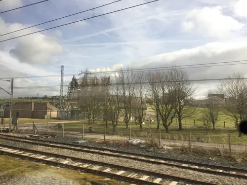
Shap Stone Avenue
Monument and historic site · 1.3 mi
Neolithic stone complex in Cumbria, England


Parks, trails and playgrounds1

Restaurants and cafes4
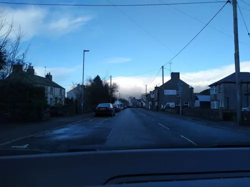
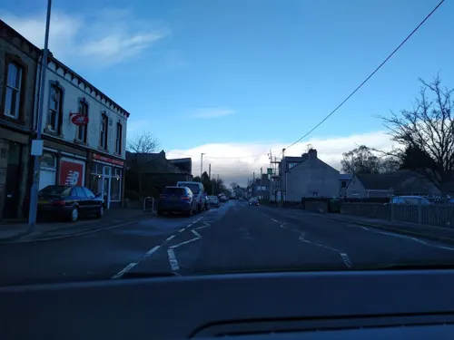


Shap Chippy
Fast food · Fish And Chips
Main Street, Shap
Mo off; Tu-Sa 12:00-13:30, 16:00-19:30; Su 16:00-19:30
History
Although Shap is a small village in terms of population, it is legally a market town with a charter dating from the 17th century. At one time, the granite works situated a mile outside the village was a separate community, with its own Co-op store. Shap polished pink granite can be found in many buildings in the UK, including outside St Paul's Cathedral in London.
The village also lies at the centre of one of Britain's most important prehistoric ritual landscapes. The surrounding area contains a remarkable concentration of Neolithic and Bronze Age monuments, including numerous stone circles, burial cairns, standing stones and henges, making the Eden Valley one of the richest megalithic landscapes in northern England. Archaeologists have identified at least eleven stone circles and numerous burial monuments in the vicinity, with major ceremonial complexes extending towards Penrith and Long Meg.
Read more of the history
The most significant monument is Shap Stone Avenue, a vast ceremonial complex constructed during the Late Neolithic. Originally extending for around 2 miles (3.2 km), it comprised a long avenue of standing stones linked to stone circles, burial cairns and other monuments. Before much of it was destroyed from the eighteenth century onwards, antiquarians including William Stukeley regarded it as comparable in scale and importance to Avebury in Wiltshire. Although only fragments survive today, Shap Avenue is recognised as one of the largest and most significant prehistoric ceremonial monuments in Britain.
Other important prehistoric monuments lie around the village. White Raise is an Early Bronze Age round cairn on the hills west of Shap, excavated in the nineteenth century, where cremated human remains and fragments of a decorated urn were discovered. To the north, Gunnerkeld stone circle is one of England's largest concentric stone circles, comprising an outer ring of nineteen granite megaliths surrounding an inner circle of thirty-one stones. An additional concentric circle, Shapbeck stone circle, was discovered on the eastern edge of Knipe Scar.
On 3 November 2025, a Glasgow to London Avanti West Coast train with 86 passengers and five crew derailed near the village due to a landslide. There were four minor injuries.
From the History section of Shap on Wikipedia, under CC BY-SA 4.0.
More about Shap
Geography
Shap Summit is located on the motorway at NY583120 and the railway at NY570110.
Before the M6 opened, Shap Fell used to be notorious for the difficult and dangerous stretch of A6 for drivers, and it includes a well-known section of the West Coast Main Line. It has a 1:75 gradient for trains heading north, and in the days of steam locomotives banking engines from Tebay were often used to assist trains. It has been popular with railway photographers and there have been many pictures published taken in the area, most notably at Scout Green which lies on the southern approach to the hill.
Shap Fell NY530088 is known for Shap granite, a pink rock rich in orthoclase, quartz and biotite; Shap Pink Quarry NY557083 takes its name from this.
Shap has a oceanic climate (Köppen: Cfb), like the vast majority of the British Isles.
At an elevation of 255 m (837 ft), Shap is notably cooler as well as wetter than surrounding lowland areas, and considerably wetter than lowland Southern England, as it is exposed to the prevailing west-southwesterlies enhanced by orographic lift.
Arts and culture
The village has a library, operated as "Shap Library Link" by the local council.
In his novel Can You Forgive Her?, Anthony Trollope locates Vavasor Hall—the manor where the Squire resides—in the vicinity of Shap; the Squire is the grandfather of Alice, Kate, and George, three of the novel’s main characters.
In M. W. Craven's novels, Shap Wells hotel is often used as a hub for the stories since one of the main characters, Washington Poe, lives nearby.
From the Wikipedia article Shap, under CC BY-SA 4.0.
Notable people from Shap
- John MillBritish theologian
- John HodgsonEnglish clergyman and county historian of Northumberland
Born in Shap, according to Wikidata (CC0). Each name links to its Wikipedia article.
Where to stay5
Churches and places of worship1
Shopping2
Schools, colleges and libraries2
Map of Shap
24 places. The map loads OpenStreetMap tiles when you open it.
Getting there and nearby towns
Carlisle Lake District Airport (CAX) is the nearest airport with scheduled flights listed in OpenStreetMap, 29 miles away.
- Penrith 10 mi north, about 16 min by car
- Staveley 12 mi southwest, about 20 min by car
- Burneside 13 mi south, about 21 min by car
- Kendal 14 mi south, about 23 min by car
- Wetheral 25 mi north, about 40 min by car
- Silverdale 26 mi south, about 42 min by car
- Carlisle 27 mi northwest, about 44 min by car
- Ulverston 29 mi southwest, about 46 min by car
- Morecambe 33 mi south, about 53 min by car
- Lancaster 34 mi south, about 55 min by car
Drive times are estimates from straight-line distance, not routes.
Towns near Shap


Keep exploring
Local news
Headlines from INDB.
Reviews, tips and questions
Loading what members have shared...
Sources and licences
- GeoNames (CC BY 4.0): population, coordinates, regions and time zone
- Mapillary (see each image): photos
- OpenStreetMap contributors (ODbL 1.0): places, airports, map data
- Wikidata (CC0 1.0): elevation, founding date, time zone, website, landmarks and historic places
- Wikimedia Commons (see each image): photos
- Wikipedia (CC BY-SA 4.0): overview and history text
Photo credits
- Shap - Market Cross, Alexander P Kapp, CC BY-SA 2.0
- Cumbria-ShapAbbey, Mik Peach, CC BY-SA 4.0
- ShapAbbey, JohnArmagh, Public domain
- BT1113, Ray Hutchings, CC BY-SA 4.0
- Kemp Howe Stone Circle, AdamIbbo789, CC BY 4.0
- Street-level photo, laye, CC BY-SA 4.0
- Street-level photo, jethro10, CC BY-SA 4.0
- Street-level photo, jethro10, CC BY-SA 4.0
- Street-level photo, jethro10, CC BY-SA 4.0
- Street-level photo, jethro10, CC BY-SA 4.0
- Street-level photo, laye, CC BY-SA 4.0
- Street-level photo, jethro10, CC BY-SA 4.0
- Street-level photo, jethro10, CC BY-SA 4.0
- Street-level photo, jethro10, CC BY-SA 4.0
Page built November 10, 2026. Spotted a mistake? Tell us or suggest a place.