


Burneside, United Kingdom
Burneside is a town of 1,017 people in England, United Kingdom.
Why visit Burneside
Townapedia lists 4 museums and landmarks, 4 parks and trails, 21 places to eat, 4 places to stay and 4 attractions in and around town.
Highlights include Change Bridge Over Former Lancaster-Kendal Canal, Plumgarths Farm Shop, Abbot Hall Art Gallery and Kendal Museum.
Weather in Burneside
Forecast from MET Norway (CC BY 4.0). Full forecast
About Burneside
Burneside () is a small village in Westmorland and Furness, Cumbria, England. It is located to the north of Kendal and to the south east of Staveley, on the River Kent, just upstream from the confluence of the River Sprint. It has about 3,000 inhabitants. By the time of the 2011, Census Burneside had been transformed into an electoral ward only.
From the Wikipedia article Burneside (this version), under CC BY-SA 4.0.
Things to do4

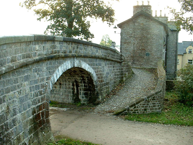
Change Bridge Over Former Lancaster-Kendal Canal
Bridge · 2.5 mi
Bridge in Kendal, Westmorland and Furness, Cumbria, England, UK


Museums and landmarks4

Abbot Hall Art Gallery
Museum · 2.2 mi
Grade I listed art museum in Kendal, United Kingdom

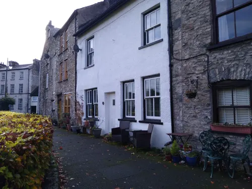
Museum of Lakeland Life
Museum · 2.2 mi
Local museum in Kendal, Westmorland and Furness, Cumbria, England, UK

Parks, trails and playgrounds4


Restaurants and cafes21
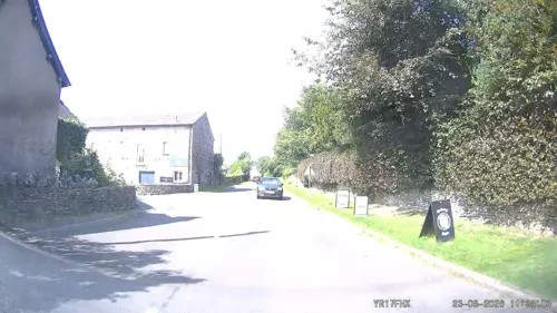
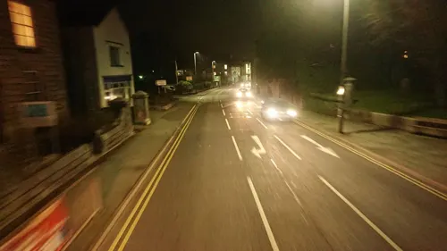
The New Union
Bar and pub · 1.5 mi
159 Stricklandgate, Kendal
Mo-Sa 15:00-23:00; Su 15:00-21:00
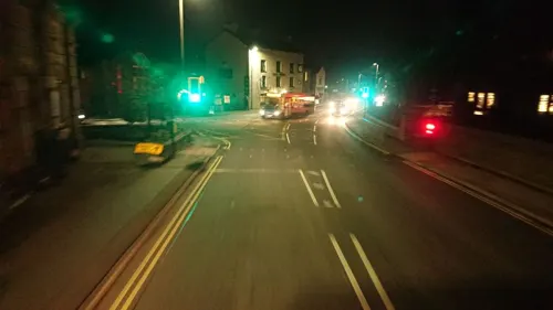



IBIS Sports And Social Club
Bar and pub · 1.4 mi
Mintsfeet Road, Kendal

9 more on the map.
More about Burneside
Economy
Burneside's economy is based upon the James Cropper plc paper mill, founded in 1845 by James Cropper. A short tramway, the Burneside Paper Mills Tramway, linked the mill to Burneside station. Originally, most villagers worked in the factory. Until the year 2000 James Cropper (a descendant of the original James Cropper) owned a large proportion of the village; it was then sold to housing agencies.
New Routes Adventure Company is run from Burneside, offering climbing and walking in the surrounding area.
From the Wikipedia article Burneside, under CC BY-SA 4.0.
Notable people from Burneside
- David R. Russellcollector of antique woodworking tools (1935-2018)
Born in Burneside, according to Wikidata (CC0). Each name links to its Wikipedia article.
Where to stay4
Churches and places of worship9
Stricklandgate Methodist Church
Church · Methodist · 1.5 mi
Windermere Road, Kendal
Shopping13
Gas and EV charging2
Schools, colleges and libraries5
Map of Burneside
66 places. The map loads OpenStreetMap tiles when you open it.
Getting there and nearby towns
Walney Aerodrome (BWF) is the nearest airport with scheduled flights listed in OpenStreetMap, 25 miles away.
- Kendal 2 mi south, about 3 min by car
- Ulverston 17 mi southwest, about 28 min by car
- Morecambe 20 mi south, about 32 min by car
- Lancaster 21 mi south, about 34 min by car
- Penrith 22 mi north, about 35 min by car
- Heysham 22 mi south, about 35 min by car
- Barrow in Furness 25 mi southwest, about 41 min by car
- Fleetwood 31 mi south, about 50 min by car
- Thornton-Cleveleys 35 mi south, about 56 min by car
- Fylde 36 mi south, about 59 min by car
Drive times are estimates from straight-line distance, not routes.
Towns near Burneside


Keep exploring
Local news
Headlines from INDB.
Reviews, tips and questions
Loading what members have shared...
Sources and licences
- GeoNames (CC BY 4.0): population, coordinates, regions and time zone
- Mapillary (see each image): photos
- OpenStreetMap contributors (ODbL 1.0): places, airports, map data
- Wikidata (CC0 1.0): elevation, founding date, time zone, website, landmarks and historic places
- Wikimedia Commons (see each image): photos
- Wikipedia (CC BY-SA 4.0): overview and history text
Photo credits
- Turning bridge Kendal, David Medcalf, CC BY-SA 2.0
- Abbott Hall Art Gallery, Kendal, Jhsteel, CC BY-SA 3.0
- Kendal Museum entrance, Geni, CC BY-SA 4.0
- St George's Church, Kendal, Humphrey Bolton, CC BY-SA 2.0
- St Oswald's Church, Burneside, Ryan Postlethwaite at English Wikipedia, CC BY-SA 3.0
- Cunswick Scar looking South - panoramio, jolmartyn, CC BY-SA 3.0
- Street-level photo, skifans, CC BY-SA 4.0
- Street-level photo, skifans, CC BY-SA 4.0
- Street-level photo, jethro10, CC BY-SA 4.0
- Street-level photo, IpswichEdits, CC BY-SA 4.0
- Street-level photo, aidan573, CC BY-SA 4.0
- Street-level photo, aidan573, CC BY-SA 4.0
- Street-level photo, aidan573, CC BY-SA 4.0
- Street-level photo, aidan573, CC BY-SA 4.0
- Street-level photo, aidan573, CC BY-SA 4.0
- Street-level photo, skifans, CC BY-SA 4.0
- Street-level photo, skifans, CC BY-SA 4.0
Page built November 10, 2026. Spotted a mistake? Tell us or suggest a place.