


Ballater, United Kingdom
Ballater is a town of 1,550 people in Scotland, United Kingdom.
Why visit Ballater
Townapedia lists 12 museums and landmarks, 17 places to eat, 17 places to stay and 5 attractions in and around town.
Highlights include Suspension Bridge, Cambus O' May, Suspension Bridge, Polhollick and Knock Castle.
Weather in Ballater
Forecast from MET Norway (CC BY 4.0). Full forecast
About Ballater
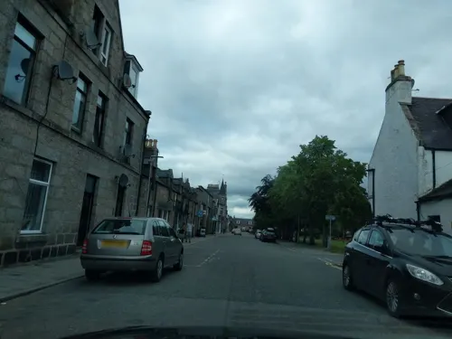
Ballater (, Scottish Gaelic: Bealadair) is a village in Aberdeenshire, Scotland, on the River Dee, immediately east of the Cairngorm Mountains. Situated at an elevation of 213 metres (699 feet), Ballater is a centre for hikers and known for its spring water, once said to cure scrofula. It is home to more than 1400 inhabitants and has had a long connection with the British royal family.
From the Wikipedia article Ballater (this version), under CC BY-SA 4.0.
Travel tips from other travellers: Ballater on Wikivoyage (CC BY-SA 4.0).
Things to do5
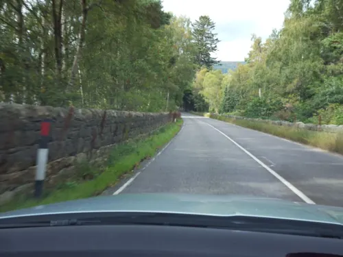
Suspension Bridge, Cambus O' May
Bridge · 3.2 mi
Suspension bridge in Aberdeenshire, Scotland, UK, carries a footpath across the River Dee


Suspension Bridge, Polhollick
Bridge · 1.7 mi
Suspension footbridge in Aberdeenshire, Scotland, UK, across the River Dee

Museums and landmarks12
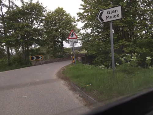
First Battalion of Gordon Highlanders Memorial
Monument and historic site · 0.8 mi
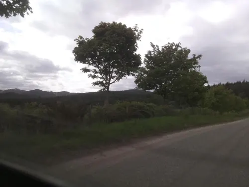

Dalmochie Camp
Monument and historic site · 0.5 mi
Remains of camp number 39 of the Canadian Newfoundland Overseas Forestry Unit (NOFU) built in November 17, 1939

Restaurants and cafes17
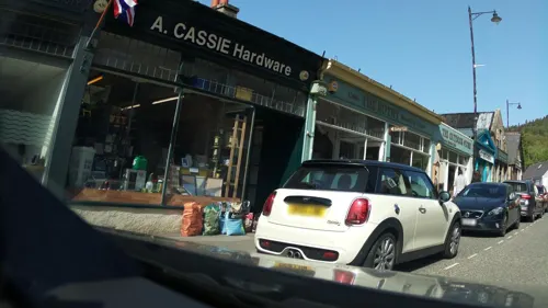





5 more on the map.
Where to stay17
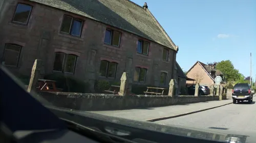

Hilton Grand Vacations Club Craigendarroch Suites Royal Deeside
Motel and hotel · 0.9 mi
Braemar Road, Ballater

5 more on the map.
History
The medieval pattern of development along this reach of the River Dee was influenced by the ancient trackways across the Grampian Mounth, which determined strategic locations of castles and other Deeside settlements of the Middle Ages.
In the early 14th century, the area was part of the estates of the Knights of St John, but the settlement did not develop until around 1770; first as a spa resort to accommodate visitors to the Pannanich Mineral Well, then later upon the arrival of the railway in 1866 it was visited by many tourists taking advantage of the easier access thus afforded. The Victoria and Albert Halls, opposite the railway station, were completed in 1895.
Ballater railway station, the former terminus of the Deeside Railway, was closed in 1966, but remains in use as a visitor centre with an exhibition recording the village's royal connection. Many buildings date from the Victorian era and the centre of the village is a conservation area. The old visitor centre was substantially damaged by fire in May 2015 but has subsequently been restored and reopened.
Read more of the history
The first stone bridge over the Dee at Ballater was built in 1783, but lost to floods in 1789. Thomas Telford constructed a second stone bridge in 1809, which was swept away in 1829. A wooden bridge was built in 1834, and replaced by the present stone bridge in 1885. Queen Victoria opened the bridge in November 1885, naming it the Royal Bridge.
From the History section of Ballater on Wikipedia, under CC BY-SA 4.0.
More about Ballater
Arts and culture
Ballater is a centre for tourism in Royal Deeside, with the Cairngorms and Balmoral Castle nearby. There are two bike hire shops in the village.
The old Ballater station, containing Queen Victoria's waiting room, was for many years a visitor centre with a replica royal carriage. However, the building was almost completely destroyed by fire in 2015. The rebuilding of the station, bistro and adjoining visitor centre was undertaken and subsequently completed in Autumn 2018. Balmoral Castle is a 10-minute drive from the village.
There are many walks from the village. For the easy going walker, there is Craigendarroch, a small, peculiarly shaped hill near the village. About 12 km (7 miles) south-west of Ballater is Loch Muick. From there experienced walkers can head up the prominent mountain, Lochnagar. Ballater is the home of many challenging walks due to the abundance of Munroes in the area.
There are many well-mapped cycle routes from Ballater into the surrounding areas, including the Deeside Way and a number of popular mountain biking trails. The forests at Cambus o'May have trails for experienced riders.
The River Dee flows through Ballater, and is famous for salmon fishing.
The Ballater Walking Festival each May attracts many hillwalkers of all levels. Participants are guided through the hills and valleys of the eastern Cairngorms.
From the Wikipedia article Ballater, under CC BY-SA 4.0.
Notable people from Ballater
- Patrick GeddesBritish biologist, botanist and town planner (1854-1932)
- Henry FarquharsonRussian mathematician
- James TochattiBritish anarchist (1852–1928)
- Alexander GordonBritish brewer, engineer, inventor, builder and philanthropist (1818-1895)
- Andy Rankine(1895-1965)
- William BeattieScottish rugby league footballer
Born in Ballater, according to Wikidata (CC0). Each name links to its Wikipedia article.
Churches and places of worship3
Shopping11
Gas and EV charging2
Schools, colleges and libraries2
Healthcare2
Map of Ballater
71 places. The map loads OpenStreetMap tiles when you open it.
Getting there and nearby towns
Aberdeen International Airport (ABZ) is the nearest airport with scheduled flights listed in OpenStreetMap, 33 miles away.
- Dufftown 28 mi north, about 44 min by car
- Forfar 29 mi south, about 46 min by car
- Westhill 29 mi east, about 47 min by car
- Inverurie 30 mi northeast, about 48 min by car
- Hillside 30 mi southeast, about 48 min by car
- Saint Cyrus 30 mi southeast, about 49 min by car
- Montrose 32 mi southeast, about 51 min by car
- Stonehaven 32 mi east, about 51 min by car
- Aberdeen 36 mi east, about 58 min by car
- Dundee 40 mi south, about 1 h by car
Drive times are estimates from straight-line distance, not routes.
Towns near Ballater


Keep exploring
Local news
Headlines from INDB.
Reviews, tips and questions
Loading what members have shared...
Sources and licences
- GeoNames (CC BY 4.0): population, coordinates, regions and time zone
- Mapillary (see each image): photos
- OpenStreetMap contributors (ODbL 1.0): places, airports, map data
- Wikidata (CC0 1.0): elevation, founding date, time zone, website, landmarks and historic places
- Wikimedia Commons (see each image): photos
- Wikipedia (CC BY-SA 4.0): overview and history text
Photo credits
- Off Track - panoramio, stanislouse, CC BY-SA 3.0
- Craigendarroch pond reflection 20211026, Daniel Kraft, CC BY-SA 3.0
- Street-level photo, southglos, CC BY-SA 4.0
- Street-level photo, hobgoblin, CC BY-SA 4.0
- Street-level photo, ccbb7766, CC BY-SA 4.0
- Street-level photo, southglos, CC BY-SA 4.0
- Street-level photo, southglos, CC BY-SA 4.0
- Street-level photo, southglos, CC BY-SA 4.0
- Street-level photo, ccbb7766, CC BY-SA 4.0
- Street-level photo, southglos, CC BY-SA 4.0
- Street-level photo, hobgoblin, CC BY-SA 4.0
- Street-level photo, southglos, CC BY-SA 4.0
- Street-level photo, ccbb7766, CC BY-SA 4.0
- Street-level photo, hobgoblin, CC BY-SA 4.0
- Street-level photo, southglos, CC BY-SA 4.0
- Street-level photo, ccbb7766, CC BY-SA 4.0
- Street-level photo, southglos, CC BY-SA 4.0
- Street-level photo, southglos, CC BY-SA 4.0
- Street-level photo, ccbb7766, CC BY-SA 4.0
- Street-level photo, southglos, CC BY-SA 4.0
- Street-level photo, southglos, CC BY-SA 4.0
- Street-level photo, southglos, CC BY-SA 4.0
Page built November 10, 2026. Spotted a mistake? Tell us or suggest a place.