

Ballykelly, United Kingdom
Ballykelly is a town of 1,735 people in Northern Ireland, United Kingdom.
Why visit Ballykelly
Townapedia lists 3 museums and landmarks, 7 places to eat and 1 place to stay in and around town.
Weather in Ballykelly
Forecast from MET Norway (CC BY 4.0). Full forecast
About Ballykelly
Ballykelly (from Irish Baile Uí Cheallaigh, meaning 'O'Kelly's Townland') is a village and townland in County Londonderry, Northern Ireland. It lies 3 miles (4.8 km) west of Limavady on the main Derry to Limavady A2 road and is 15 miles (24 km) east of Derry. It is designated as a Large Village and in 2021 the population of Ballykelly was 2,004. It lies within Causeway Coast and Glens district.
From the Wikipedia article Ballykelly, County Londonderry (this version), under CC BY-SA 4.0.
Museums and landmarks3

South Base Tower
Monument and historic site · 0.4 mi
South base tower of the Lough Foyle baseline (triangulation of Ireland)
Restaurants and cafes7
Where to stay1

Churches and places of worship3

History
The village was originally laid out as a Plantation settlement. The development of the nearby World War II airfield greatly enhanced the size and significance of the village.
RAF Ballykelly opened in 1941 as an airfield RAF Coastal Command and closed in 1971, because of the British Government's defence cuts. The station was transferred to the British Army, who renamed it Shackleton Barracks. The Army was due to leave Shackleton Barracks in early 2008. During World War II an RAF bomber aeroplane on a training run clipped a telephone line behind a church in Ballykelly and crashed, claiming the lives of the crew. The aircraft was carrying out a trials mission involving low level parachuting, but a parachute became entangled with the tailplane, putting the aircraft out of control.
During the Northern Irish Troubles the Droppin Well bombing occurred in Ballykelly, killing 17 people in a local disco and bar. Although one of the most fatal single incidents of the conflict, it was the only fatal Troubles-related incident to take place in Ballykelly.
Read more of the history
Christianity in the area can be traced back to 585, with the remains of a catholic church/ abbey / Monastery (Tamlaght Finlagan Monastery). The remains of which are accessible via the Tully Road. This is an old abbey founded by St. Colmcille for St. Fionnlogha. Little is known about why the chapel fell into ruins, but the original site had a round tower and had erenagh until the 17th century.
From the History section of Ballykelly, County Londonderry on Wikipedia, under CC BY-SA 4.0.
Shopping1
Gas and EV charging2
Schools, colleges and libraries1
Healthcare3
Map of Ballykelly
21 places. The map loads OpenStreetMap tiles when you open it.
Getting there and nearby towns
City of Derry Airport (LDY) is the nearest airport with scheduled flights listed in OpenStreetMap, 6 miles away.
- Limavady 3 mi east, about 4 min by car
- Dungiven 9 mi southeast, about 14 min by car
- Culmore 10 mi west, about 16 min by car
- Derry 12 mi west, about 19 min by car
- Castlerock 12 mi northeast, about 19 min by car
- Coleraine 15 mi northeast, about 24 min by car
- Portstewart 15 mi northeast, about 25 min by car
- Portrush 18 mi northeast, about 29 min by car
- Maghera 20 mi southeast, about 31 min by car
- Strabane 23 mi southwest, about 38 min by car
Drive times are estimates from straight-line distance, not routes.
Towns near Ballykelly


Keep exploring
Local news
Headlines from INDB.
Reviews, tips and questions
Loading what members have shared...
Sources and licences
- GeoNames (CC BY 4.0): population, coordinates, regions and time zone
- Mapillary (see each image): photos
- OpenStreetMap contributors (ODbL 1.0): places, airports, map data
- Wikidata (CC0 1.0): elevation, founding date, time zone, website
- Wikimedia Commons (see each image): photos
- Wikipedia (CC BY-SA 4.0): overview and history text
Photo credits
- Ballykelly village, Kay Atherton, CC BY-SA 2.0
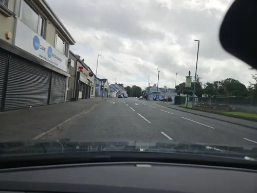
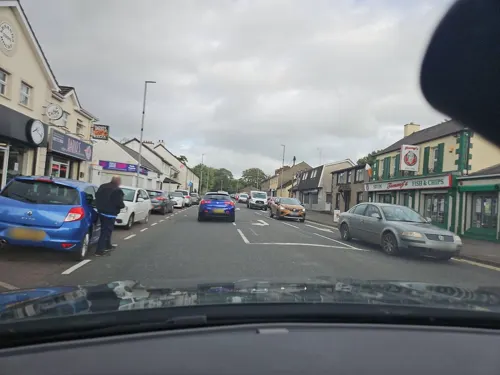
- Street-level photo, toho, CC BY-SA 4.0
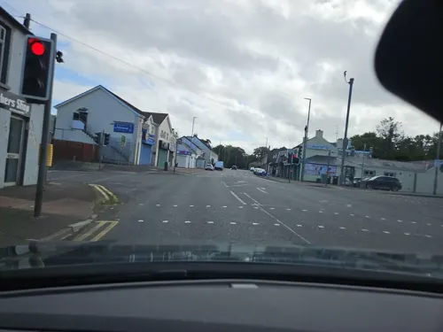
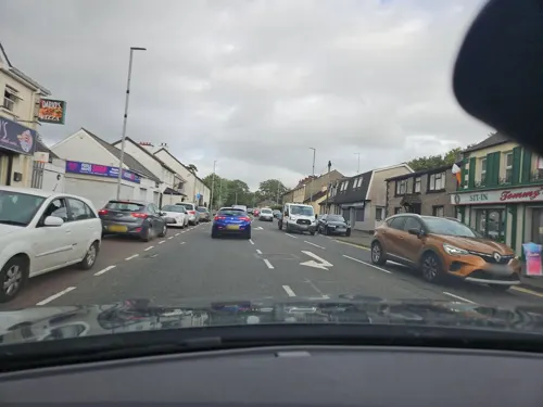
- Street-level photo, toho, CC BY-SA 4.0
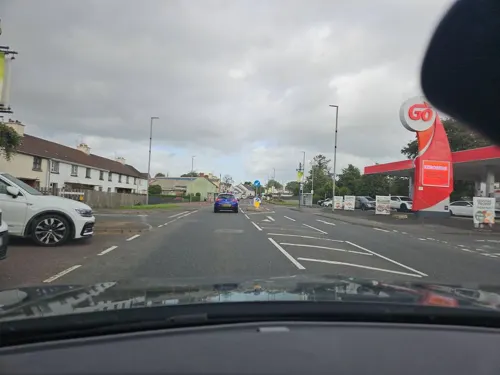
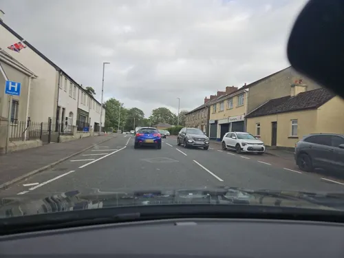
- Street-level photo, toho, CC BY-SA 4.0
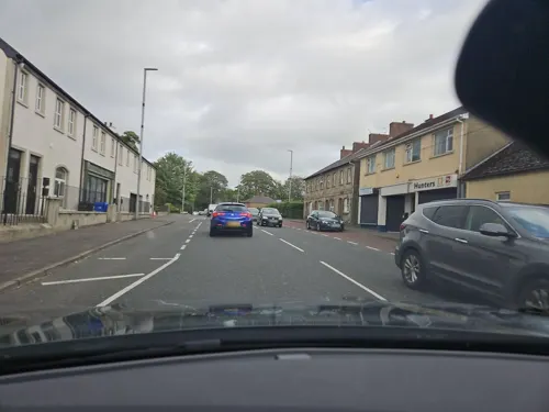
- Street-level photo, toho, CC BY-SA 4.0
- Street-level photo, toho, CC BY-SA 4.0
- Street-level photo, toho, CC BY-SA 4.0
- Street-level photo, toho, CC BY-SA 4.0
- Street-level photo, toho, CC BY-SA 4.0
- Street-level photo, toho, CC BY-SA 4.0
Page built November 10, 2026. Spotted a mistake? Tell us or suggest a place.