
Culmore, United Kingdom
Culmore is a town of 3,645 people in Northern Ireland, United Kingdom.
Why visit Culmore
Townapedia lists 1 museum or landmark, 4 parks and trails, 10 places to eat and 2 attractions in and around town.
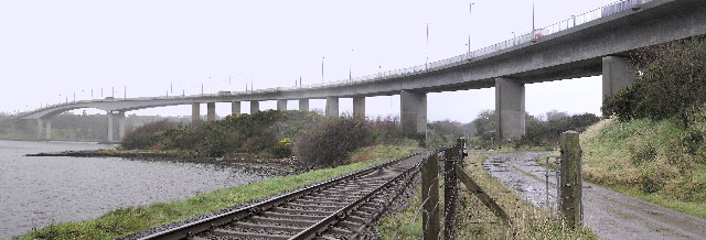
Highlights include Foyle Bridge, Foyle Golf Club and Culmore Country Park.
Weather in Culmore
Forecast from MET Norway (CC BY 4.0). Full forecast
About Culmore
Culmore (from Irish Cúil Mór, meaning 'the great corner') is a village and townland in Derry, County Londonderry, Northern Ireland. It is at the mouth of the River Foyle. In the 2011 Census it had a population of 3,465 people. It is situated within Derry and Strabane district.
From the Wikipedia article Culmore (this version), under CC BY-SA 4.0.
Things to do2

Museums and landmarks1

Parks, trails and playgrounds4



Restaurants and cafes10

Otterbank Brewing Company
Brewery and winery · 1.1 mi
Unit 6 Kilderry Business Park, Muff


History
Sir Henry Docwra, 1st Baron Docwra of Culmore, was an English soldier who landed with a force of 4000 foot and 200 horse troops at Culmore on 16 May 1600, as part of an attempt to quell a war against the crown in Ulster. On 22 May he marched into Derry without resistance and occupied and fortified the town. From here he harassed some local Irish in such as a way as to make them sue for peace with him. Facing stronger local Irish opposition, Docwra's troops became almost prisoners, unable to make any progress while slowly starving until some powerful Irish became allies. For his service Docwra was granted 2000 acres (8 km2) in the Precinct of Liffer. He served as Governor of Loughfoyle, and on 15 May 1621, by a patent dated at Westminster, was created Baron Docwra of Culmore. He was also Treasurer at War and a member of the Privy Council. Sir Henry died on 18 April 1631.
Culmore Fort was an important strategic position linked to the garrison town of Derry. In 1608 when Sir Cahir O'Doherty, a formerly loyal Gaelic leader, launched O'Doherty's Rebellion by seizing and burning Derry, he began by first capturing a supply of arms from the arsenal at Culmore after capturing its commander Captain Henry Hart.
Read more of the history
Amelia Earhart landed in a pasture at Culmore after her 1932 transatlantic solo flight. A small museum, the Amelia Earhart Centre, has been built there, but the museum is presently closed due to its funding having been cut by Derry City Council.
From the History section of Culmore on Wikipedia, under CC BY-SA 4.0.
Churches and places of worship2
St Oliver Plunkett's Church
Church · Roman Catholic · 1.4 mi
Parkmore Drive, Strathfoyle
Shopping3
Gas and EV charging3
Schools, colleges and libraries5
Healthcare2
Map of Culmore
32 places. The map loads OpenStreetMap tiles when you open it.
Getting there and nearby towns
City of Derry Airport (LDY) is the nearest airport with scheduled flights listed in OpenStreetMap, 4 miles away.
- Derry 4 mi southwest, about 6 min by car
- Limavady 13 mi east, about 20 min by car
- Dungiven 16 mi southeast, about 26 min by car
- Strabane 18 mi southwest, about 28 min by car
- Sion Mills 20 mi southwest, about 32 min by car
- Coleraine 24 mi east, about 39 min by car
- Portstewart 24 mi northeast, about 38 min by car
- Portrush 26 mi northeast, about 42 min by car
- Maghera 28 mi southeast, about 44 min by car
- Omagh 31 mi south, about 50 min by car
Drive times are estimates from straight-line distance, not routes.
Towns near Culmore


Keep exploring
Local news
Headlines from INDB.
Reviews, tips and questions
Loading what members have shared...
Sources and licences
- GeoNames (CC BY 4.0): population, coordinates, regions and time zone
- Mapillary (see each image): photos
- OpenStreetMap contributors (ODbL 1.0): places, airports, map data
- Wikidata (CC0 1.0): elevation, founding date, time zone, website, landmarks and historic places
- Wikimedia Commons (see each image): photos
- Wikipedia (CC BY-SA 4.0): overview and history text
Photo credits
- Foyle bridge, railside, Kenneth Allen, CC BY-SA 2.0
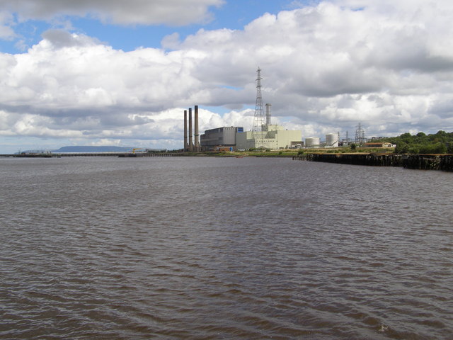
- Coolkeeragh power station, stuart r hines, CC BY-SA 2.0
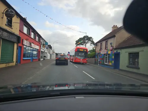
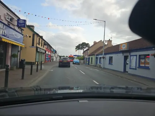
- Street-level photo, toho, CC BY-SA 4.0
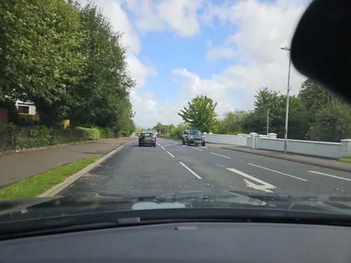
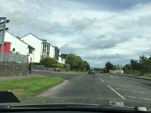
- Street-level photo, mackerski, CC BY-SA 4.0
- Street-level photo, mackerski, CC BY-SA 4.0
- Street-level photo, toho, CC BY-SA 4.0
- Street-level photo, mackerski, CC BY-SA 4.0
- Street-level photo, toho, CC BY-SA 4.0
- Street-level photo, toho, CC BY-SA 4.0
- Street-level photo, toho, CC BY-SA 4.0
- Street-level photo, mackerski, CC BY-SA 4.0
- Street-level photo, toho, CC BY-SA 4.0
- Street-level photo, toho, CC BY-SA 4.0
- Street-level photo, toho, CC BY-SA 4.0
- Street-level photo, toho, CC BY-SA 4.0
Page built November 10, 2026. Spotted a mistake? Tell us or suggest a place.