


Why visit Banham
Townapedia lists 10 museums and landmarks, 4 parks and trails, 15 places to eat, 2 places to stay and 2 attractions in and around town.
Highlights include Banham Zoo, War Memorial, Old Buckenham Priory and New Buckenham Common - Open Access Land.
Weather in Banham
Forecast from MET Norway (CC BY 4.0). Full forecast
About Banham
Banham is an English village and civil parish in the county of Norfolk, about 7 miles (11 km) north-west of Diss, 12 miles (19 km) east of Thetford and 20 miles (32 km) south-west of Norwich. It is home to Banham Zoo, a private collection open to the public for more than 40 years, which houses over 2,000 animals. The Church of England parish church, dedicated to St Mary the Virgin, is a Grade I listed building.
From the Wikipedia article Banham, Norfolk (this version), under CC BY-SA 4.0.
Things to do2


Museums and landmarks10
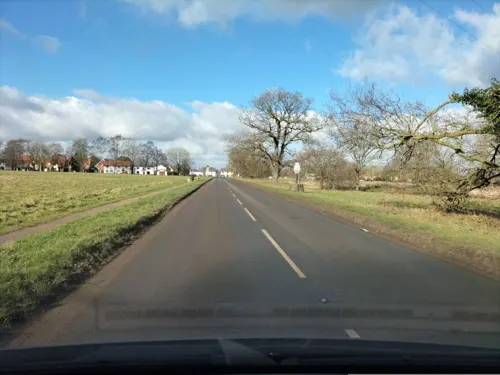

Old Buckenham Priory
Monument and historic site · 2.7 mi
Priory in Old Buckenham, Breckland, Norfolk, England, UK
Alms Houses
Monument and historic site · 2.0 mi
Engraved stone plaque above central doorways.
Parks, trails and playgrounds4


Restaurants and cafes15


OB Café
Cafe · Coffee Shop · 1.3 mi
Batista coffee and cakes plus cycling essentials.
Doe Lane, Attleborough
Ox & Plough Freehouse
Bar and pub · 2.1 mi
The Green, Attleborough
Mo-Su 10:00-23:00

3 more on the map.
Notable people from Banham
- Emily TaylorBritish poet, children's writer, hymnwriter
- Edgar TaylorBritish author (1793-1839)
Born in Banham, according to Wikidata (CC0). Each name links to its Wikipedia article.
Where to stay2
Churches and places of worship11
Shopping1
Schools, colleges and libraries6
Map of Banham
51 places. The map loads OpenStreetMap tiles when you open it.
Getting there and nearby towns
RAF Honington (BEQ) is the nearest airport with scheduled flights listed in OpenStreetMap, 14 miles away.
- Attleborough 5 mi north, about 7 min by car
- Diss 6 mi southeast, about 10 min by car
- Dickleburgh 7 mi southeast, about 12 min by car
- Botesdale 8 mi south, about 12 min by car
- Scole 8 mi southeast, about 12 min by car
- Griston 10 mi northwest, about 16 min by car
- Thetford 12 mi west, about 20 min by car
- Shipdham 14 mi northwest, about 22 min by car
- Bowthorpe 15 mi northeast, about 24 min by car
- Norwich 16 mi northeast, about 26 min by car
Drive times are estimates from straight-line distance, not routes.
Towns near Banham


Keep exploring
Local news
Headlines from INDB.
Reviews, tips and questions
Loading what members have shared...
Sources and licences
- GeoNames (CC BY 4.0): population, coordinates, regions and time zone
- Mapillary (see each image): photos
- OpenStreetMap contributors (ODbL 1.0): places, airports, map data
- Wikidata (CC0 1.0): elevation, founding date, time zone, website, landmarks and historic places
- Wikimedia Commons (see each image): photos
- Wikipedia (CC BY-SA 4.0): overview and history text
Photo credits
- St Mary's church Kenninghall Norfolk (300727177), David from Colorado Springs, United States, CC BY 2.0
- Black Kite - Banham Zoo - Norfolk, England, Edd deane from Swaffham, England, CC BY 2.0
- Street-level photo, tomC, CC BY-SA 4.0
- Street-level photo, tomC, CC BY-SA 4.0
- Street-level photo, tomC, CC BY-SA 4.0
Page built November 10, 2026. Spotted a mistake? Tell us or suggest a place.