


Why visit Scole
Townapedia lists 8 museums and landmarks, 7 parks and trails, 50 places to eat, 4 places to stay and 2 attractions in and around town.
Highlights include The Corn Hall, Saint Mary, 100th Bomb Group Memorial Museum and Roydon Fen.
Weather in Scole
Forecast from MET Norway (CC BY 4.0). Full forecast
About Scole
Scole () is a village on the Norfolk–Suffolk border in England. It is 19 miles south of Norwich and lay on the old Roman road to Venta Icenorum, which was the main road until it was bypassed with a dual carriageway. It covers an area of 14.31 km2 (5.53 sq mi) and had a population of 1,339 in 563 households at the 2001 census; the population had increased to 1,367 at the 2011 Census.
From the Wikipedia article Scole (this version), under CC BY-SA 4.0.
Things to do2


Museums and landmarks8


100th Bomb Group Memorial Museum
Museum · 2.7 mi
Independent museum in the East of England


St Edmund's Monument
Monument and historic site · 2.5 mi
Memorial to St Edmund in Hoxne, Sussex, England, UK
War Memorial
Monument and historic site · 1.1 mi
Brass plaque fixed to church wall.
War Memorial
Monument and historic site · 2.2 mi
Painted and sculpted Roll of Honour board on shelf displayed on marble shelf in church.
Parks, trails and playgrounds7






Restaurants and cafes50



Singtong
Restaurant · Thai · 2.2 mi
Norfolk House Yard, Diss
We-Sa 18:00-22:00

38 more on the map.
Notable people from Scole
- William Gooderham, Sr.Canadian businessman
Born in Scole, according to Wikidata (CC0). Each name links to its Wikipedia article.
Where to stay4
Churches and places of worship24
Shopping21
Gas and EV charging4
Schools, colleges and libraries7
Healthcare3
Map of Scole
130 places. The map loads OpenStreetMap tiles when you open it.
Getting there and nearby towns
RAF Honington (BEQ) is the nearest airport with scheduled flights listed in OpenStreetMap, 16 miles away.
- Diss 2 mi west, about 3 min by car
- Attleborough 12 mi northwest, about 19 min by car
- Stowmarket 14 mi southwest, about 23 min by car
- Thetford 17 mi west, about 28 min by car
- Beccles 18 mi east, about 30 min by car
- Norwich 19 mi north, about 31 min by car
- Bowthorpe 19 mi north, about 31 min by car
- Woodbridge 20 mi south, about 32 min by car
- Ipswich 21 mi south, about 34 min by car
- Bury St Edmunds 21 mi southwest, about 33 min by car
Drive times are estimates from straight-line distance, not routes.
Towns near Scole


Keep exploring
Local news
Headlines from INDB.
Reviews, tips and questions
Loading what members have shared...
Sources and licences
- GeoNames (CC BY 4.0): population, coordinates, regions and time zone
- Mapillary (see each image): photos
- OpenStreetMap contributors (ODbL 1.0): places, airports, map data
- Wikidata (CC0 1.0): elevation, founding date, time zone, website, landmarks and historic places
- Wikimedia Commons (see each image): photos
- Wikipedia (CC BY-SA 4.0): overview and history text
Photo credits
- Thorpe Abbotts Control Tower, Deben Dave, Public domain
- Roydon Fen 1, Dudley Miles, CC BY-SA 4.0
- The Pennings, Eye 7, Dudley Miles, CC BY-SA 4.0
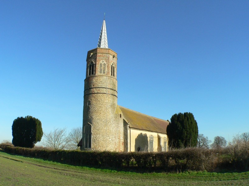
- Shimpling-g6, Bernd Jatzwauk Pommes104, CC BY-SA 3.0
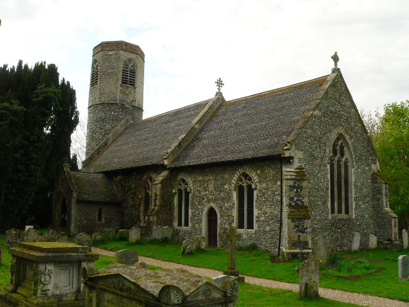
- Stuston-g4, Bernd Jatzwauk Pommes104, CC BY-SA 3.0
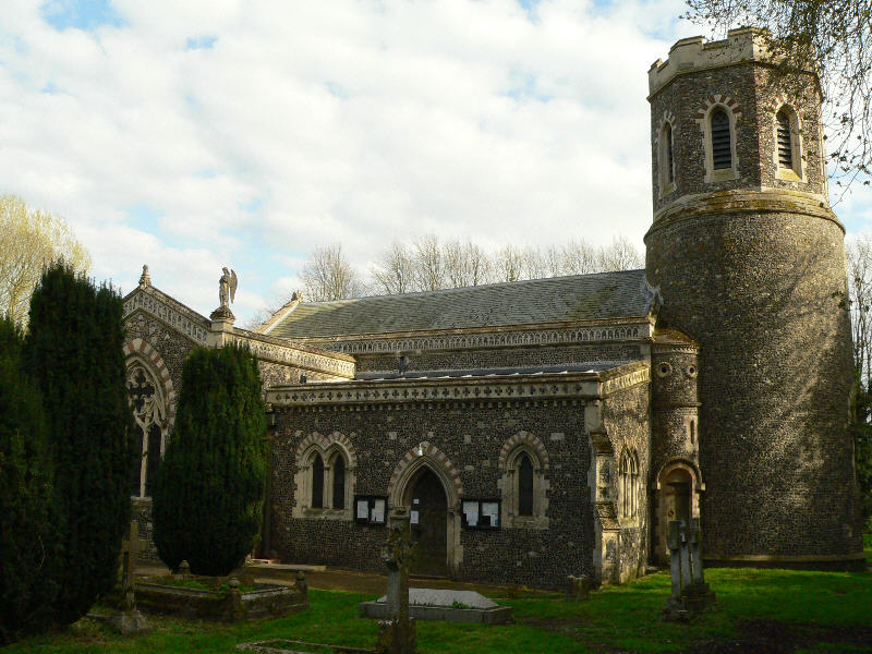
- Brome-g2, Bernd Jatzwauk Pommes104, CC BY-SA 3.0
- Remains of the Church of St Mary, Thorpe Parva, Colin Cheesman, CC BY-SA 4.0
- -2016-07-01 Market Hill, Diss, Norfolk, Ant Basterfield, CC BY-SA 2.0
- Street-level photo, AR_Mapper, CC BY-SA 4.0
- Street-level photo, smsm1, CC BY-SA 4.0
- Street-level photo, IpswichEdits, CC BY-SA 4.0
- Street-level photo, IpswichEdits, CC BY-SA 4.0
- Street-level photo, IpswichEdits, CC BY-SA 4.0
- Street-level photo, tallguy, CC BY-SA 4.0
- Street-level photo, IpswichEdits, CC BY-SA 4.0
- Street-level photo, smsm1, CC BY-SA 4.0
Page built November 10, 2026. Spotted a mistake? Tell us or suggest a place.