
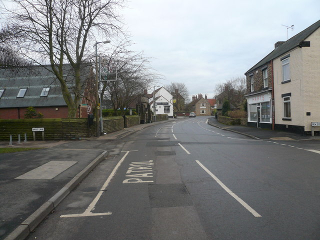


Barlborough, United Kingdom
Barlborough is a town of 2,975 people in England, United Kingdom.
Why visit Barlborough
Townapedia lists 2 museums and landmarks, 6 parks and trails, 17 places to eat and 2 places to stay in and around town.
Highlights include Renishaw Hall, Poolsbrook Country Park and Barlborough Links Golf Club.
Weather in Barlborough
Forecast from MET Norway (CC BY 4.0). Full forecast
About Barlborough
Barlborough is a village and civil parish in the Bolsover district of Derbyshire, England.
From the Wikipedia article Barlborough (this version), under CC BY-SA 4.0.
Museums and landmarks2

Renishaw Hall
Museum · 2.6 mi
Grade I listed historic house museum in North East Derbyshire, England, UK

Parks, trails and playgrounds6

Poolsbrook Country Park
Park · 3.2 mi
Park in Staveley, United Kingdom

Barlborough Links Golf Club
Golf course · 0.7 mi
9 hole Par 35
Oxcroft Way, Chesterfield

Barlborough Country Park
Park · 0.5 mi
Sports fields and playground with nature reserve.
Restaurants and cafes17
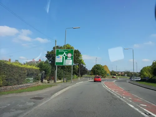



Nags Head
Bar and pub · 1.4 mi
North Road, Chesterfield
Mo-Th 12:00-22:00; Fr-Sa 12:00-01:00

5 more on the map.
Where to stay2

More about Barlborough
Geography
According to the 2021 census it had a population of 2,855. The village is near junction 30 of the M1 motorway and is about 5 miles (8.0 km) north of Bolsover.
At Newman Spinney, an underground gasification plant opened on 22 May 1950, after experiments in 1949. Other experiments were at Bayton in Worcestershire.
From the Wikipedia article Barlborough, under CC BY-SA 4.0.
Notable people from Barlborough
- Arthur BuxtonEnglish footballer
- John OsborneEnglish footballer (1940-1998)
Born in Barlborough, according to Wikidata (CC0). Each name links to its Wikipedia article.
Churches and places of worship7
Shopping3
Gas and EV charging1
Schools, colleges and libraries5
Barlborough Hall School
School · Roman Catholic · 0.8 mi
Barlborough Park, Chesterfield
Healthcare1
Map of Barlborough
44 places. The map loads OpenStreetMap tiles when you open it.
Getting there and nearby towns
Nottingham City Airport (NQT) is the nearest airport with scheduled flights listed in OpenStreetMap, 27 miles away.
- Harthill 2 mi northeast, about 3 min by car
- Staveley 3 mi southwest, about 5 min by car
- Beighton 4 mi northwest, about 6 min by car
- Bolsover 4 mi south, about 7 min by car
- Todwick 5 mi north, about 8 min by car
- Chesterfield 6 mi southwest, about 10 min by car
- Woodsetts 6 mi northeast, about 10 min by car
- Worksop 7 mi east, about 11 min by car
- Dinnington 7 mi northeast, about 11 min by car
- Shirebrook 7 mi southeast, about 11 min by car
Drive times are estimates from straight-line distance, not routes.
Towns near Barlborough


Keep exploring
Local news
Headlines from INDB.
Reviews, tips and questions
Loading what members have shared...
Sources and licences
- GeoNames (CC BY 4.0): population, coordinates, regions and time zone
- Mapillary (see each image): photos
- OpenStreetMap contributors (ODbL 1.0): places, airports, map data
- Wikidata (CC0 1.0): elevation, founding date, time zone, website, landmarks and historic places
- Wikimedia Commons (see each image): photos
- Wikipedia (CC BY-SA 4.0): overview and history text
Photo credits
- Barlborough 644978 7ee2f087, Alan Heardman, CC BY-SA 2.0
- St James' Church, Barlborough, Richard Croft, CC BY-SA 2.0
- Barlborough Old Hall, Chris Morgan, CC BY-SA 2.0
- Renishaw Hall 2, DAVID M GOODWIN, CC BY-SA 2.0
- Poolsbrook Country Park, Frombowen, CC BY-SA 4.0
- Street-level photo, endszbrxns, CC BY-SA 4.0
- Street-level photo, endszbrxns, CC BY-SA 4.0
- Street-level photo, endszbrxns, CC BY-SA 4.0
Page built November 10, 2026. Spotted a mistake? Tell us or suggest a place.