


Barlestone, United Kingdom
Barlestone is a town of 2,607 people in England, United Kingdom.
Why visit Barlestone
Townapedia lists 1 museum or landmark, 3 parks and trails and 2 places to eat in and around town.
Highlights include Shackerstone railway station, Market Bosworth Country Park and Tropical Birdland, Leicestershire.
Weather in Barlestone
Forecast from MET Norway (CC BY 4.0). Full forecast
About Barlestone
Barlestone is a village and civil parish in the Hinckley and Bosworth district of Leicestershire, England, adjoining the village of Osbaston. The UK census reported Barlestone's population as 2,471 in 2001, and 2,481 in 2011.
From the Wikipedia article Barlestone (this version), under CC BY-SA 4.0.
Museums and landmarks1

Shackerstone railway station
Museum · 3.0 mi
Preserved railway station and heritage museum in Leicestershire, England, UK
Parks, trails and playgrounds3
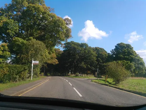
Market Bosworth Country Park
Park · 1.8 mi
Country park in Leicestershire, England

Tropical Birdland, Leicestershire
Park · 3.3 mi
Zoo in Desford , United Kingdom

Restaurants and cafes2
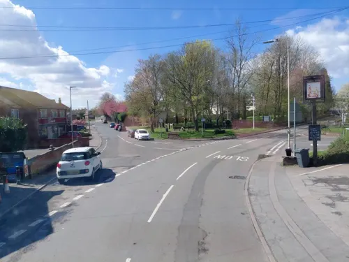

Churches and places of worship6
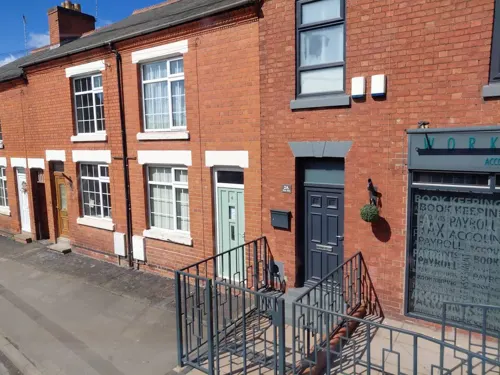

Chapel of the Holy Rood, Bagworth
Church · 2.0 mi
Chapel in Bagworth, Leicestershire
St Giles' Church, Barlestone
Church
Church in Barlestone, Leicestershire
History
The village's name means 'farm/settlement of Berwulf or Beornwulf'.
Although coal miners lived in the village, there was never a mine at Barlestone; the miners travelled to pits in Bagworth, Coalville and Newbold Heath. In the late 1980s, a pit wheel from a coal mine was installed in Barlestone to commemorate the miners.
From the History section of Barlestone on Wikipedia, under CC BY-SA 4.0.
Notable people from Barlestone
- Arthur SmithEnglish cricketer, born 1872
Born in Barlestone, according to Wikidata (CC0). Each name links to its Wikipedia article.
Shopping2
Schools, colleges and libraries4
Map of Barlestone
18 places. The map loads OpenStreetMap tiles when you open it.
Getting there and nearby towns
East Midlands Airport (EMA) is the nearest airport with scheduled flights listed in OpenStreetMap, 12 miles away.
- Newbold Verdon 2 mi southeast, about 3 min by car
- Market Bosworth 2 mi southwest, about 3 min by car
- Bagworth 2 mi northeast, about 3 min by car
- Coalville 5 mi north, about 8 min by car
- Earl Shilton 5 mi southeast, about 9 min by car
- Ravenstone 5 mi north, about 9 min by car
- Stoke Golding 6 mi south, about 9 min by car
- Leicester Forest East 7 mi east, about 11 min by car
- Hinckley 7 mi south, about 12 min by car
- Glenfield 7 mi east, about 12 min by car
Drive times are estimates from straight-line distance, not routes.
Towns near Barlestone


Keep exploring
Local news
Headlines from INDB.
Reviews, tips and questions
Loading what members have shared...
Sources and licences
- GeoNames (CC BY 4.0): population, coordinates, regions and time zone
- Mapillary (see each image): photos
- OpenStreetMap contributors (ODbL 1.0): places, airports, map data
- Wikidata (CC0 1.0): elevation, founding date, time zone, website, landmarks and historic places
- Wikimedia Commons (see each image): photos
- Wikipedia (CC BY-SA 4.0): overview and history text
Photo credits
- Arriva 4765 at Barlestone, Leicestershire (8258397835), Ed Webster, CC BY 2.0
- Shackerstone.Platform, Robpics69, Public domain
- Hybrid Ara macaw -Tropical Birdland -Leicestershire-3July07, Snowmanradio , with permission from Tropical Birdland, Leicestershire, England., CC BY-SA 3.0
- Arriva R620MNU (16124211787), Ed Webster, CC BY 2.0
- Street-level photo, trigpoint, CC BY-SA 4.0
- Street-level photo, rskedgell, CC BY-SA 4.0
- Street-level photo, rskedgell, CC BY-SA 4.0
- Street-level photo, rskedgell, CC BY-SA 4.0
Page built November 10, 2026. Spotted a mistake? Tell us or suggest a place.