


Leicester Forest East, United Kingdom
Leicester Forest East is a town of 13,846 people in England, United Kingdom.
Why visit Leicester Forest East
Townapedia lists 10 museums and landmarks, 15 parks and trails, 35 places to eat, 5 places to stay and 1 attraction in and around town.
Highlights include Braunstone Gate Bridge, Gas Museum, Groby Castle and Aylestone Meadows.
Weather in Leicester Forest East
Forecast from MET Norway (CC BY 4.0). Full forecast
About Leicester Forest East
Leicester Forest East (LFE) is a large suburban village in Leicestershire, England, west of Leicester, straddling the M1 motorway. It is part of the Blaby district.
From the Wikipedia article Leicester Forest East (this version), under CC BY-SA 4.0.
Things to do1

Museums and landmarks10


Groby Castle
Monument and historic site · 2.7 mi
Castle in Leicestershire, England, UK

Jewry Wall Museum
Museum · 3.3 mi
Museum in Leicester, England, United Kingdom

Leicester Castle
Monument and historic site · 3.3 mi
Castle in Leicester, England, UK

Newarke Houses Museum
Museum · 3.3 mi
Public museum in Leicester, England, United Kingdom
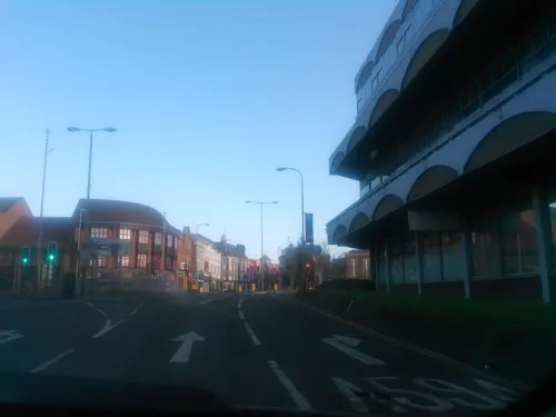
Ratae Corieltauvorum
Monument and historic site · 3.3 mi
Former Roman town on the site of Leicester

Raw Dykes
Monument and historic site · 3.3 mi
Archaeological site in City of Leicester, Leicestershire, England, UK



Parks, trails and playgrounds15
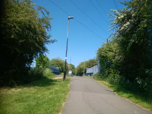
Aylestone Meadows
Park · 2.8 mi
Nature reserve in Leicester, England.


Kirby Frith Nature Reserve
Park · 1.0 mi
Local Nature Reserve in Leicester, United Kingdom


Tropical Birdland, Leicestershire
Park · 3.3 mi
Zoo in Desford , United Kingdom


3 more on the map.
Restaurants and cafes35
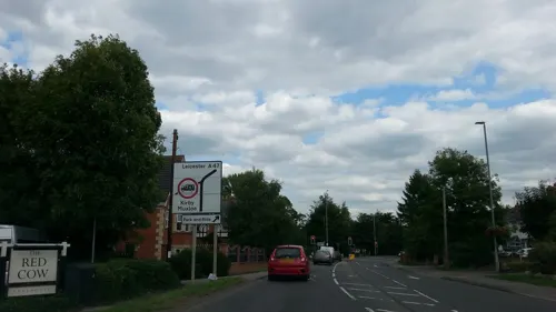
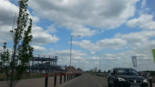

Nando's
Restaurant · Chicken, Portuguese · 1.5 mi
Lubbesthorpe Way, Leicester
Su-Th 11:30-22:00, Fr,Sa 11:30-23:00
Bella Italia
Restaurant · Italian · 1.5 mi
Lubbesthorpe Way, Leicester
Mo-Fr 12:00-22:00; Sa 11:30-23:00; Su 11:30-22:00



23 more on the map.
Where to stay5
Churches and places of worship13
Church of the Annunciation of Our Lady of the Newarke
Church · 3.3 mi
Shopping2
Gas and EV charging1
Schools, colleges and libraries12
Healthcare3
Map of Leicester Forest East
97 places. The map loads OpenStreetMap tiles when you open it.
Getting there and nearby towns
East Midlands Airport (EMA) is the nearest airport with scheduled flights listed in OpenStreetMap, 15 miles away.
- Braunstone 2 mi east, about 3 min by car
- Glenfield 2 mi northeast, about 3 min by car
- Glen Parva 3 mi southeast, about 5 min by car
- Aylestone 3 mi southeast, about 5 min by car
- Leicester 4 mi east, about 6 min by car
- Belgrave 5 mi east, about 7 min by car
- Earl Shilton 5 mi southwest, about 8 min by car
- Birstall 5 mi northeast, about 8 min by car
- Oadby 6 mi east, about 9 min by car
- Evington 7 mi east, about 11 min by car
Drive times are estimates from straight-line distance, not routes.
Towns near Leicester Forest East


Keep exploring
Local news
Headlines from INDB.
Reviews, tips and questions
Loading what members have shared...
Sources and licences
- GeoNames (CC BY 4.0): population, coordinates, regions and time zone
- Mapillary (see each image): photos
- OpenStreetMap contributors (ODbL 1.0): places, airports, map data
- Wikidata (CC0 1.0): elevation, founding date, time zone, website, landmarks and historic places
- Wikimedia Commons (see each image): photos
- Wikipedia (CC BY-SA 4.0): overview and history text
Photo credits
- Braunstone Gate Bridge, Tim Hallam, CC BY-SA 2.0
- GasMuseumMay2010, Chemical Engineer, Public domain
- Groby Castle plan, Charles Wall, Public domain
- Jewry Wall ruins panorama 3, NotFromUtrecht, CC BY-SA 3.0
- Brama wjazdowa do zamku od strony zewnętrznej, Kris1973, CC BY-SA 4.0
- Newarke Houses Museum Leicester, NotFromUtrecht, CC BY-SA 3.0
- Goss Meadows 7, Dudley Miles, CC BY-SA 4.0
- The Orchards Nature Reserve 2, Dudley Miles, CC BY-SA 4.0
- All Saints Church - widok od południowej strony, Kris1973, CC BY-SA 4.0
- 188565 Leicester St Andrews Church 2, Simon Armstrong, CC BY-SA 3.0
- St Mary de Castro from Castle Yard, NotFromUtrecht, CC BY-SA 3.0
- Jewry Wall and St Nicholas, NotFromUtrecht, CC BY-SA 3.0
- Hawthorn Building2, Jack O'Sullivan, CC BY 2.0
- Kirby Frith Nature Reserve 4, Dudley Miles, CC BY-SA 4.0
- Kirby Muxloe, en:User:Neddyseagoon, CC BY-SA 3.0
- Hybrid Ara macaw -Tropical Birdland -Leicestershire-3July07, Snowmanradio , with permission from Tropical Birdland, Leicestershire, England., CC BY-SA 3.0
- Raw Dykes north end, NotFromUtrecht, CC BY-SA 3.0
- Newarke church arches DMU heritage centre, Leicester, RobinLeicester, CC BY-SA 4.0
- Springtails of Highway Spinney (47007304884), AJC1 from UK, CC BY-SA 2.0
- Street-level photo, toby, CC BY-SA 4.0
- Street-level photo, toby, CC BY-SA 4.0
- Street-level photo, trigpoint, CC BY-SA 4.0
- Street-level photo, adam2, CC BY-SA 4.0
- Street-level photo, adam2, CC BY-SA 4.0
- Street-level photo, trigpoint, CC BY-SA 4.0
- Street-level photo, adam2, CC BY-SA 4.0
- Street-level photo, adam2, CC BY-SA 4.0
- Street-level photo, adam2, CC BY-SA 4.0
- Street-level photo, adam2, CC BY-SA 4.0
- Street-level photo, toby, CC BY-SA 4.0
- Street-level photo, adam2, CC BY-SA 4.0
- Street-level photo, edloach, CC BY-SA 4.0
- Street-level photo, alexanderar, CC BY-SA 4.0
- Street-level photo, adam2, CC BY-SA 4.0
- Street-level photo, trigpoint, CC BY-SA 4.0


Page built November 10, 2026. Spotted a mistake? Tell us or suggest a place.