


Biddenden, United Kingdom
Biddenden is a town of 1,303 people in England, United Kingdom.
Why visit Biddenden
Townapedia lists 4 museums and landmarks, 18 parks and trails, 11 places to eat, 8 places to stay and 4 attractions in and around town.
Highlights include Sinden Theatre, Rolvenden War Memorial, South Cottage and Sissinghurst Castle and Garden.
Weather in Biddenden
Forecast from MET Norway (CC BY 4.0). Full forecast
About Biddenden
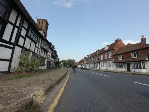
Biddenden is a large, mostly agricultural and wooded village and civil parish in the borough of Ashford in Kent, England. The village lies on the Weald of Kent, 5 miles (8 km) north of Tenterden. It was a centre for the Wealden iron industry and clothmaking.
From the Wikipedia article Biddenden (this version), under CC BY-SA 4.0.
Things to do4



Museums and landmarks4

Rolvenden War Memorial
Monument and historic site · 4.4 mi
War memorial in Rolvenden, Ashford, Kent, England, UK



Parks, trails and playgrounds18




Cranbrook (formerly Hemsted Forest) Golf Club (Permanently closed)
Golf course · 3.0 mi
6 more on the map.
Restaurants and cafes11

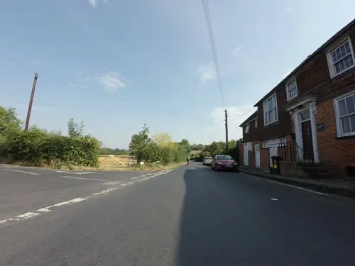
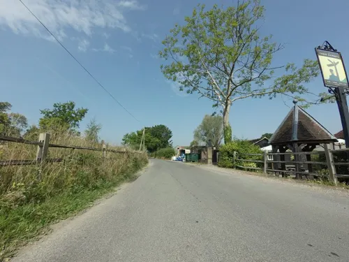


The Granary Restaurant at Sissinghurst Garden Castle
Restaurant · 2.5 mi
Mo-Su 10:00-17:30; PH 10:00-17:30
History
All Saints Biddenden is the parish church, built mostly in the 13th century. There was likely an earlier Saxon church here. During the half-century reign of Edward III, Flemish clothworkers were settled in the area. The ready availability of raw materials led to the establishment of a flourishing textile industry for the production of broadcloth. Wealth from this industry built many of the fine houses in town.
Biddenden Place was the ancestral home of the Mayney or Mayne family: the village school, originally founded in 1522, is named after its benefactor John Mayne.
From the History section of Biddenden on Wikipedia, under CC BY-SA 4.0.
Notable people from Biddenden
 William GuyBritish pioneer of modern dentistryPhoto: Stephencdickson, CC BY-SA 4.0
- John R. WinderFirst Counselor in the First Presidency under Joseph F. Smith (1821-1910)
- Charles Hillyercricketer (1845-1872)
Born in Biddenden, according to Wikidata (CC0). Each name links to its Wikipedia article.
Where to stay8
Churches and places of worship12
Kingdom Hall of Jehovahs Witnesses - Tenterden
Church · Jehovahs Witness · 2.2 mi
Gas and EV charging1
Schools, colleges and libraries5
Healthcare1
Map of Biddenden
64 places. The map loads OpenStreetMap tiles when you open it.
Getting there and nearby towns
Lydd Airport (LYX) is the nearest airport with scheduled flights listed in OpenStreetMap, 17 miles away.
- High Halden 3 mi east, about 5 min by car
- Sissinghurst 3 mi west, about 5 min by car
- Woodchurch 6 mi southeast, about 10 min by car
- Shadoxhurst 8 mi east, about 13 min by car
- Goudhurst 8 mi west, about 13 min by car
- Northiam 8 mi south, about 14 min by car
- Harrietsham 9 mi north, about 14 min by car
- Horsmonden 9 mi west, about 15 min by car
- Ashford 10 mi east, about 17 min by car
- Maidstone 12 mi northwest, about 19 min by car
Drive times are estimates from straight-line distance, not routes.
Towns near Biddenden


Keep exploring
Local news
Headlines from INDB.
Reviews, tips and questions
Loading what members have shared...
Sources and licences
- GeoNames (CC BY 4.0): population, coordinates, regions and time zone
- Mapillary (see each image): photos
- OpenStreetMap contributors (ODbL 1.0): places, airports, map data
- Wikidata (CC0 1.0): elevation, founding date, time zone, website, landmarks and historic places
- Wikimedia Commons (see each image): photos
- Wikipedia (CC BY-SA 4.0): overview and history text
Photo credits
- Crane Valley 2, Dudley Miles, CC BY-SA 4.0
- Turners Field 2, Dudley Miles, CC BY-SA 4.0
- Wattle Wood 2, Dudley Miles, CC BY-SA 4.0
- All Saints Church, Staplehurst, Julian P Guffogg, CC BY-SA 2.0
- St George, Benenden, Poliphilo, CC0
- Vita's tower, Hans Bernhard ( Schnobby ), CC BY-SA 3.0
- The West House, Biddenden, Oast House Archive, CC BY-SA 2.0
- All Saints, Biddenden, the tower, Poliphilo, CC0
- 1084164 II Star THE SOUTH COTTAGE Cranbrook and Sissinghurst 20250908 0002, Tilman2007, CC BY-SA 4.0
- Rolvenden war memorial 3228, Photograph by Clem Rutter, Rochester, Kent. ( www.clemrutter.net )., CC BY-SA 4.0
- Street-level photo, tallguy, CC BY-SA 4.0
- Street-level photo, southglos, CC BY-SA 4.0
- Street-level photo, tallguy, CC BY-SA 4.0
- Street-level photo, tallguy, CC BY-SA 4.0
- Street-level photo, tallguy, CC BY-SA 4.0
- Street-level photo, tallguy, CC BY-SA 4.0
- Street-level photo, tallguy, CC BY-SA 4.0
- Street-level photo, tallguy, CC BY-SA 4.0
- Street-level photo, southglos, CC BY-SA 4.0
- Street-level photo, southglos, CC BY-SA 4.0
- Street-level photo, southglos, CC BY-SA 4.0
- Street-level photo, southglos, CC BY-SA 4.0
- Street-level photo, janvanbekkum, CC BY-SA 4.0

Page built November 10, 2026. Spotted a mistake? Tell us or suggest a place.