

Why visit Bordon
Townapedia lists 4 museums and landmarks, 11 parks and trails, 18 places to eat, 1 place to stay and 5 attractions in and around town.
Highlights include The Phoenix Theatre, Blackmoor War Memorial, Standford Green and Deadwater Valley.
Weather in Bordon
Forecast from MET Norway (CC BY 4.0). Full forecast
About Bordon
Bordon is a town in the East Hampshire district of Hampshire, England. It lies in the interior of the royal Woolmer Forest, about 5 miles (8.0 km) southeast of Alton. The town forms a part of the civil parish of Whitehill which is one of two contiguous villages, the other being Lindford. The civil parish is on the A325, and near the A3 road between London and Portsmouth, from which it is buffered by the rise of the wooded Woolmer Ranges.
From the Wikipedia article Bordon (this version), under CC BY-SA 4.0.
Things to do5
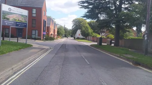

Museums and landmarks4

Blackmoor War Memorial
Monument and historic site · 1.6 mi
War memorial in Blackmoor, Hampshire, England, UK
Parks, trails and playgrounds11
Standford Green
Park · 1.2 mi
Standford Green is in the hamlet of Standford and is located next to the B3004. It is registered as a Village Green in 1972 (VG177). The...
24/7

Deadwater Valley
Park · 0.5 mi
Nature reserve in Hampshire, England, UK


Restaurants and cafes18
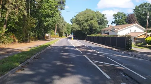
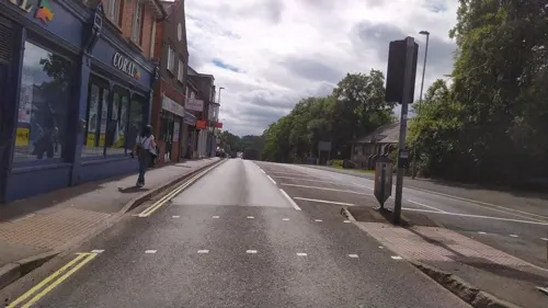




6 more on the map.
History
The town has been an army base with a defunct railway station. Bordon Camp was first laid out in 1899 by the Highland Light Infantry, directed by Royal Engineers, and following interruption by the Second Boer War, was occupied by the army from 1903. The first occupants of Quebec barracks were the Somersetshire Light Infantry, returning from South Africa in April, and the 2nd Battalion Devonshire Regiment arrived at St. Lucia Barracks from South Africa in June. Bordon Camp was home to the Canadian Army during both of the world wars and the town is dotted with concrete slabs on which tanks and armoured cars were parked. Until 2016, Bordon was home to the Royal Electrical and Mechanical Engineers (REME), providing trade training, both basic and supplementary, to its soldiers, supported by the School of Electrical and Mechanical Engineers (SEME). The Longmoor Army Ranges, a forest firing range, is south of the town. Bordon railway station was linked to both the main railway network, and by light railway to the Longmoor Military Railway.
From the History section of Bordon on Wikipedia, under CC BY-SA 4.0.
More about Bordon
Education
Primary schools in Bordon include Bordon Juniors, Weyford Nursery, Woodlea School and Weyford Primary. Secondary education facilities include Oakmoor School on Budds Lane and Hollywater School, a Special Education establishment. Bordon was also home to the Future Skills Centre, a £3.8 million construction training centre which was part of the Basingstoke College of Technology group until 2024, it has been up for sale since it was initially closed.
In November 2019, Mill Chase Academy closed after 60 years, being replaced by Oakmoor School.
From the Wikipedia article Bordon, under CC BY-SA 4.0.
Notable people from Bordon
 Tony Roltracecar driver (1918–2008)Photo: Daan Noske / Anefo, CC0
- Kenneth BlackburneBritish colonial administrator (1907–1980)
- John Straffenmurderer (1930-2007)
- Curtis ThornEnglish footballer
- Cosmo NevillBritish Army general
Born in Bordon, according to Wikidata (CC0). Each name links to its Wikipedia article.
Where to stay1
Churches and places of worship8
Shopping5
Gas and EV charging2
Schools, colleges and libraries9
Healthcare2
Map of Bordon
65 places. The map loads OpenStreetMap tiles when you open it.
Getting there and nearby towns
RAF Odiham (ODH) is the nearest airport with scheduled flights listed in OpenStreetMap, 9 miles away.
- Alton 5 mi northwest, about 9 min by car
- Haslemere 7 mi east, about 11 min by car
- Petersfield 8 mi south, about 13 min by car
- Godalming 12 mi northeast, about 19 min by car
- Basingstoke 14 mi northwest, about 23 min by car
- Frimley 15 mi north, about 24 min by car
- Camberley 16 mi north, about 26 min by car
- Yateley 16 mi north, about 26 min by car
- Sandhurst 16 mi north, about 26 min by car
- Cranleigh 17 mi east, about 27 min by car
Drive times are estimates from straight-line distance, not routes.
Towns near Bordon


Keep exploring
Local news
Headlines from INDB.
Reviews, tips and questions
Loading what members have shared...
Sources and licences
- GeoNames (CC BY 4.0): population, coordinates, regions and time zone
- Mapillary (see each image): photos
- OpenStreetMap contributors (ODbL 1.0): places, airports, map data
- Wikidata (CC0 1.0): elevation, founding date, time zone, website, landmarks and historic places
- Wikimedia Commons (see each image): photos
- Wikipedia (CC BY-SA 4.0): overview and history text
Photo credits
- St Matthew's, Blackmoor from south, Ericoides, CC BY-SA 3.0
- Street-level photo, noid, CC BY-SA 4.0
- Street-level photo, noid, CC BY-SA 4.0
- Street-level photo, taft, CC BY-SA 4.0
- Street-level photo, jpennycook, CC BY-SA 4.0
- Street-level photo, noid, CC BY-SA 4.0
- Street-level photo, noid, CC BY-SA 4.0
- Street-level photo, noid, CC BY-SA 4.0
- Street-level photo, noid, CC BY-SA 4.0
- Street-level photo, noid, CC BY-SA 4.0
- Street-level photo, noid, CC BY-SA 4.0
- Street-level photo, noid, CC BY-SA 4.0
- Street-level photo, noid, CC BY-SA 4.0
- Street-level photo, noid, CC BY-SA 4.0
- Street-level photo, noid, CC BY-SA 4.0
- Street-level photo, noid, CC BY-SA 4.0
- Street-level photo, noid, CC BY-SA 4.0
- Street-level photo, taft, CC BY-SA 4.0
- Street-level photo, taft, CC BY-SA 4.0
Page built November 10, 2026. Spotted a mistake? Tell us or suggest a place.