


Why visit Botley
Townapedia lists 10 museums and landmarks, 13 parks and trails, 29 places to eat, 3 places to stay and 3 attractions in and around town.
Highlights include The Berry Theatre, Bursledon Windmill, Grace Dieu and Bishops Waltham Branch LNR.
Weather in Botley
Forecast from MET Norway (CC BY 4.0). Full forecast
About Botley
Botley is a historic village in Hampshire, England, approximately 3 miles (4.8 km) east of Southampton. It was developed as a natural crossing point for the River Hamble, and received its first market charter from Henry III in 1267. The village grew on the success of its mills, its coaching inns, and more recently strawberries, and was described as "the most delightful village in the world" by 18th century journalist and radical politician William Cobbett.
From the Wikipedia article Botley, Hampshire (this version), under CC BY-SA 4.0.
Things to do3


Museums and landmarks10

Bursledon Windmill
Museum · 2.4 mi
Historic windmill in Bursledon. United Kingdom

Grace Dieu
Monument and historic site · 1.8 mi
1418 English warship, destroyed by fire in 1439


Holigost
Monument and historic site · 1.7 mi
Carrack of Henry V's Navy, the wreck of which is thought to be located in River Hamble, Hampshire, England, UK
Parks, trails and playgrounds13

Segensworth
Park · 3.2 mi
Area of business parks in Hampshire, England, UK

1 more on the map.
Restaurants and cafes29
Cafe Cream
Cafe · Breakfast, Lunch, Coffee Shop · 1.5 mi
Lower Northam Road, Southampton
Tu-Sa 07:30-16:00
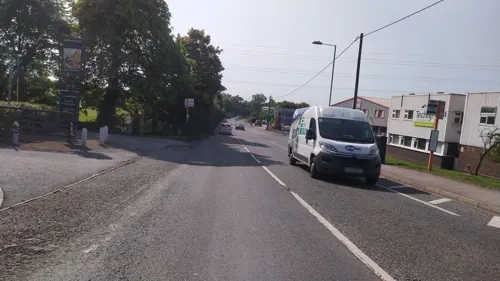
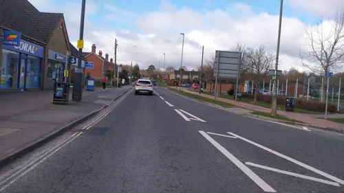
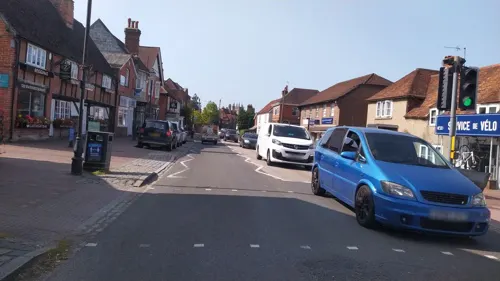
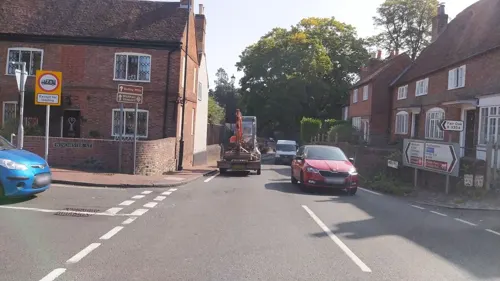

Horse & Jockey
Bar and pub · 1.1 mi
Botley Road, Curbridge, Southampton
Mo-Fr 11:00-23:00; Su 11:00-20:00


17 more on the map.
History
When the Romans built a road from Noviomagus Reginorum (Chichester) to Clausentum (Southampton), it crossed the River Hamble at a natural crossing point located to the south of present-day Botley. The crossing later became the site of Botley's first settlement, which existed at least as far back as the 10th century. Known in Saxon times as "Bottaleah" ("Botta" was probably a person, while "Leah" was the Saxon word for a woodland clearing). Some time prior to the Norman Conquest, a gradual rise in sea level meant that travellers found the river easier to ford further north of the original Roman crossing, this new crossing place provided a new focal point for the village, which in 1086 was listed in the Domesday Book as "Botelie" and included two water-powered mills and had a population of less than 100.
Read more of the history
At that time, the mills were owned by the family of Ralph de Mortimer, a French nobleman who fought at the Battle of Hastings in 1066, and remained in the family's possession until 1304 when the manor, including the mills, passed to the order of St Elizabeth of Hungary in Winchester. During the dissolution of the monasteries (1536–1539), the manor and mills were given to Thomas Wriothesly, a commissioner of Henry VIII and later Earl of Southampton. After the third Earl died without a male heir, the manor and mills passed to the Dukes of Portland. From 1838 to 1921, the site was owned by W and J Clarke. As well as grinding and trading cereals, the company traded in coal and, for a short time, manufactured paper. The Botley Flour Milling Company was formed in 1921, and in 1928 it was sold to the current owners, the Appleby family.
In 1267 John of Botley, Lord of the Manor, obtained a royal charter from Henry III for holding an annual fair and weekly market in the town. The village did not, however, grow significantly and in 1665 the village still had a population of only 350.
During the 18th century, Botley functioned as a small inland port with barges transporting coal, grain, timber and flour along the river. The first bridge over the tidal part of the river was built in 1797 and by the time of the 1801 census 614 people were residing in the village.
During the early 19th century, the radical journalist and political reformer William Cobbett lived in Botley and called it "the most delightful village in the world". From 1805, Cobbett lived initially at Botley House near Botley Mills, and then, from 1812, in a smaller house at Botley Hill.
A corn market was opened in 1829 and a cattle market in 1836, while Botley Market Hall – today a Grade II listed building – was built in 1848. A new church, All Saints, was built nearer the village centre in 1836. The National School opened in 1855 and the Recreation Ground was purchased in 1888. In the mid-nineteenth century the climate made south Hampshire ideal for growing strawberries and Botley became the centre for a thriving trade in strawberries. In 1841 Botley railway station was opened by the London and Southampton Railway Company. It became a major loading point for the seasonal strawberry traffic, as Botley formed the start of what is now known as the Strawberry Trail.
From the History section of Botley, Hampshire on Wikipedia, under CC BY-SA 4.0.
More about Botley
Arts and culture
As of 2005, the village had a youth centre, recreation ground, and a number of public houses including The Bugle Inn. The village hosted a day-long festival in 2004 to raise money for a local charity, and since 2009 has held a biennial music festival.
From the Wikipedia article Botley, Hampshire, under CC BY-SA 4.0.
Notable people from Botley
- John Millscricketer (1836-1899)
Born in Botley, according to Wikidata (CC0). Each name links to its Wikipedia article.
Where to stay3
Macdonald Botley Park Hotel & Spa
Motel and hotel · 1.2 mi
Winchester Road, Southampton
Churches and places of worship8
Catholic Church of Our Lady of the Assumption
Church · Catholic · 1.5 mi
Freegrounds Road, Southampton
Shopping4
Gas and EV charging2
Schools, colleges and libraries11
Healthcare4
Map of Botley
87 places. The map loads OpenStreetMap tiles when you open it.
Getting there and nearby towns
Southampton Airport (SOU) is the nearest airport with scheduled flights listed in OpenStreetMap, 4 miles away.
- Hedge End 1 mi west, about 2 min by car
- Fair Oak 4 mi north, about 6 min by car
- Wickham 4 mi east, about 6 min by car
- Bishopstoke 4 mi northwest, about 7 min by car
- Swanmore 4 mi northeast, about 7 min by car
- Eastleigh 5 mi northwest, about 8 min by car
- Portswood 5 mi west, about 9 min by car
- Southampton 6 mi west, about 9 min by car
- Fareham 6 mi southeast, about 9 min by car
- Hythe 7 mi southwest, about 11 min by car
Drive times are estimates from straight-line distance, not routes.
Towns near Botley


Keep exploring
Local news
Headlines from INDB.
Reviews, tips and questions
Loading what members have shared...
Sources and licences
- GeoNames (CC BY 4.0): population, coordinates, regions and time zone
- Mapillary (see each image): photos
- OpenStreetMap contributors (ODbL 1.0): places, airports, map data
- Wikidata (CC0 1.0): elevation, founding date, time zone, website, landmarks and historic places
- Wikimedia Commons (see each image): photos
- Wikipedia (CC BY-SA 4.0): overview and history text
Photo credits
- BursledonWindmill, James Brigden, CC BY-SA 3.0
- St James's Church, Church Hill, West End (NHLE Code 1281100) (May 2019) (1), Hassocks5489, CC0
- Swanwick Shore Strict Baptist Chapel, Bridge Road, Lower Swanwick (NHLE Code 1391981) (May 2019) (1), Hassocks5489, CC0
- All Saints Church, High Street, Botley (NHLE Code 1322707) (May 2019) (6), Hassocks5489, CC0
- St Peter's Church, Botley Road, Curdridge (NHLE Code 1095645) (May 2019) (10), Hassocks5489, CC0
- GraceDieuWreckSite, Hethurs at en.wikipedia ), CC BY-SA 3.0
- Manor Farm, Botley, Hampshire 2012-10-17, Peter Trimming, CC BY 2.0
- Street-level photo, noid, CC BY-SA 4.0
- Street-level photo, noid, CC BY-SA 4.0
- Street-level photo, noid, CC BY-SA 4.0
- Street-level photo, noid, CC BY-SA 4.0
- Street-level photo, noid, CC BY-SA 4.0
- Street-level photo, noid, CC BY-SA 4.0
- Street-level photo, noid, CC BY-SA 4.0
- Street-level photo, noid, CC BY-SA 4.0
- Street-level photo, noid, CC BY-SA 4.0
- Street-level photo, noid, CC BY-SA 4.0
- Street-level photo, noid, CC BY-SA 4.0
- Street-level photo, noid, CC BY-SA 4.0
- Street-level photo, noid, CC BY-SA 4.0
- Street-level photo, noid, CC BY-SA 4.0
- Street-level photo, noid, CC BY-SA 4.0
- Street-level photo, noid, CC BY-SA 4.0
- Street-level photo, noid, CC BY-SA 4.0
- Street-level photo, noid, CC BY-SA 4.0
- Street-level photo, noid, CC BY-SA 4.0
- Street-level photo, noid, CC BY-SA 4.0
- Street-level photo, noid, CC BY-SA 4.0
- Street-level photo, noid, CC BY-SA 4.0
Page built November 10, 2026. Spotted a mistake? Tell us or suggest a place.