



Why visit Brading
Townapedia lists 28 museums and landmarks, 28 parks and trails, 88 places to eat, 57 places to stay and 8 attractions in and around town.
Highlights include The Wildheart Animal Sanctuary, Shanklin Theatre, Brading Railway Heritage Centre and Brading Roman Villa.
Weather in Brading
Forecast from MET Norway (CC BY 4.0). Full forecast
About Brading
Brading is a small market town on the east side of the Isle of Wight. It is the main settlement of the civil parish of the same name. The ecclesiastical parish of Brading used to cover about a tenth of the island. The civil parish now includes the town itself and Adgestone, Morton, Nunwell and other outlying areas between Ryde, St Helens, Bembridge, Sandown and Arreton.
From the Wikipedia article Brading (this version), under CC BY-SA 4.0.
Photos of Brading


Things to do8

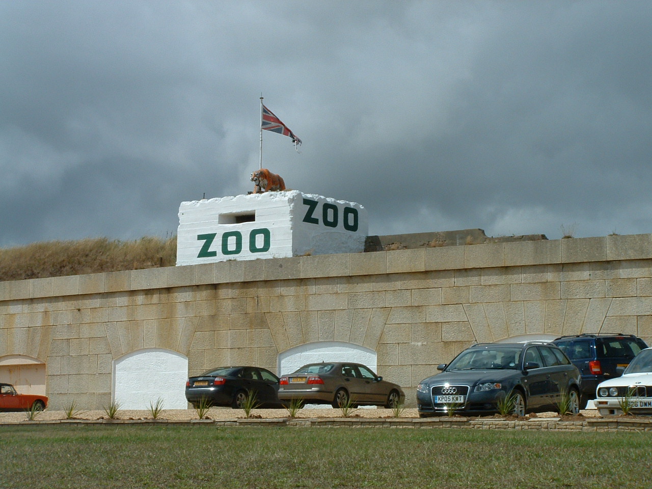
The Wildheart Animal Sanctuary
Zoo and aquarium · 1.3 mi
Zoo on the Isle of Wight, UK
Yaverland Road, Sandown
Mo-Su 10:00-17:00

Shanklin Theatre
Cinema and theater · 3.9 mi
Theatre and former town hall in Shanklin, Isle of Wight, England, UK

St Helens Fort
Lighthouse · 3.2 mi
Sea fort with lighthouse in the Solent close to the Isle of Wight, England, UK




Ryde Theatre and Town Hall
Cinema and theater · 3.6 mi
Theatre and former town hall in Ryde, Isle of Wight, England, UK
Museums and landmarks28


Brading Roman Villa
Monument and historic site · 0.6 mi
Roman rural estate at Brading, United Kingdom
Morton Old Road, Sandown
Mo-Su 10:00-17:00

Dinosaur Isle
Museum · 1.4 mi
Dinosaur museum on the Isle of Wight
Culver Parade, Sandown
Tu-Sa 10:00-16:00



Nunwell House
Museum · 0.6 mi
Country house in Brading, Isle of Wight, England, UK

Bembridge Fort
Monument and historic site · 1.4 mi
Built in the 1860s on the highest point of Bembridge Down (the Yarborough Monument had to be moved) on the orders of Lord Palmerston...

Rylstone Manor
Museum · 4.0 mi
Country house hotel in Shanklin, Isle of Wight, England, UK

16 more on the map.
Parks, trails and playgrounds28

Alan Hersey Nature Reserve
Park · 2.9 mi
Nature reserve on the Isle of Wight


Brading Marshes RSPB reserve
Park
RSPB nature reserve on the Isle of Wight

Seaview Wildlife Encounter
Park · 3.0 mi
Wildlife park in Seaview, Isle of Wight, England


Eaglehead & Bloodstone Copses Nature Reserve
Hiking and trails · 1.4 mi


16 more on the map.
Restaurants and cafes88
Little Dessert Shop
Cafe · Ice Cream · 1.9 mi
9 Pier Street, Sandown
Mo-Th 11:00-19:00; Fr-Su 10:00-21:00
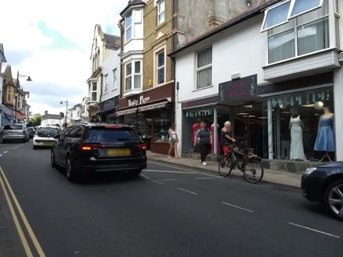
Mumbai Bites
Restaurant · Indian · 1.8 mi
12B High Street, Sandown
We,Th,Su,Mo 17:00-22:00; Tu,Fr,Sa 17:00-23:00
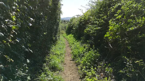
Adgestone Vineyard
Brewery and winery · 0.6 mi
Upper Road, Sandown
Mo,Tu off; We-Sa 10:00-16:30; Su 11:00-16:30
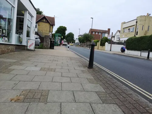
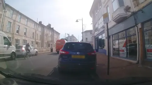
Propeller Inn
Bar and pub · 1.7 mi
Sandown Road, Bembridge
Mo-Tu off; We-Sa 12:00-22:00; Su 12:00-17:00


76 more on the map.
History
From early times, Brading ranked as an important island port.
The Roman villa south of the town, and Roman relics discovered locally, indicate that this was an important seaport 2000 years ago. Signs of prehistoric activity have also been found on Brading Down.
History records that St Wilfrid came to the island during the 680s, landed at Brading, preached there to the islanders, and began the conversion of the island. Bede states that King Caedwalla of Wessex killed the pagan population "with merciless slaughter" and replaced them with his own Christian followers, dedicating a quarter of the Isle of Wight to Wilfrid and the Church. Wilfrid would thus have been literally preaching to the converted, because everyone else was dead.
At the Domesday Book, Brading had 4 households and had a value of 10 shillings at 1066, and 1 pound in 1086.
Brading was first granted a charter in 1280, unusually for the time directly from King Edward I, rather than the Lord of the Isle (who was its private owner). This led to it being known as the 'King's Town'.
The charter granted to Brading by Edward VI in 1548 refers to the previous charter granted by Edward I. This charter allowed the town to hold two annual fairs. Nowadays the fair is called Brading Day and is held over the first weekend in July.
Because of its status as a town, Brading has a mayor and an elected town council.
Read more of the history
In medieval times the town was governed by the steward, bailiffs and 13 jurats, and returned two MPs to the Westminster Parliament. The Reform Act 1832 created a single Isle of Wight parliamentary constituency covering the whole island, until it was divided into two constituencies in 2024. Now the town is a part of the Isle of Wight East parliamentary constituency.
Until the 16th century the port was active. Ships lay alongside at the quay behind the Bugle Inn in the High Street. Ships came into Brading Haven for shelter and for provisions, particularly water, which was of a high quality. The north-eastern part of the haven was closed off by an embankment completed in 1594, much of which is still present. Ships would then tie up at the far end of Quay Lane on the other side of the embankment.
Throughout the Middle Ages various attempts were made to drain off the rest of the harbour; for it had gradually become silted up and, except for the main channel of the river, was too shallow to be of any commercial use. Sir Hugh Myddleton, who had constructed the New River from Hertfordshire to central London for James I, undertook this work; but the sea broke in and flooded the land once again. After others had also tried and failed, this reclamation was finally accomplished in 1881 by the building of a substantial embankment right across the harbour, with the building of the railway to Bembridge.
So Brading now shares with Winchelsea and Romney the distinction of being a former seaport without any access to the sea. Losing access to the sea caused Brading to decline in importance, and prevented the sort of growth enjoyed by Cowes and Newport.
The Old Town Hall stands near to the church. There is no record of the earliest Town Hall, but an entry in The Court Leet Book 1729 refers to the assessment of one shilling rate, and also a subscription towards building a new Town Hall, Market House and Prison, so it is likely it was completed around 1730. This new building remained until 1876 when it was restored to its present state, and then contained the Free Town Library.
Set in the ground outside the New Town Hall (1903), there is an iron bullring which was once used to secure a bull whilst it was being baited by dogs. According to the diaries of Sir John Oglander, the Governor of the Isle of Wight would donate five guineas for the purchase of the bull to be baited; the meat was afterwards donated to the poor of the town. The Mayor attended this ceremony in full regalia; and a dog, known as the Mayor's Dog, would be decked with coloured ribbons and set on the bull after the proclamation had been made.
A large wooden carving of a bull decorates the Bullring. This is by local artist Paul Sivell. Another of his works is an approximately 10-foot (3 metres) wooden statue of the goddess Diana positioned in the woods above Brading at Kelly's Copse and entitled "For Camilla". This commemorates the murder of a Danish exchange student by a sex attacker from Gosport in 2002. Many local people have added plastic flowers and stuffed toys as tribute.
The town possesses a gun. It is a brass piece, made in 1549 by the Owine Brothers, John and Robert, so that the town might be defended from French invasion. The gun was never used in action, but was taken to the top of Brading Down in 1832 so that it could be fired to celebrate the passing of the Reform Bill. Unfortunately it exploded and split, putting a stop to celebrations for the day. It is currently kept at the coach house at Nunwell House.
From the History section of Brading on Wikipedia, under CC BY-SA 4.0.
Notable people from Brading
- Frederick TrumbleEnglish cricketer and Royal Navy officer (1893-1918)
Born in Brading, according to Wikidata (CC0). Each name links to its Wikipedia article.
Where to stay57
Churches and places of worship33
Church of St. Michael and All Angels, Swanmore, Ryde
Church · 2.9 mi
Shopping18
Gas and EV charging2
Schools, colleges and libraries6
The Bay Church of England School (Primary School)
School · Anglican · 1.7 mi
Winchester Park Road, Sandown
Healthcare4
Map of Brading
250 places. The map loads OpenStreetMap tiles when you open it.
Getting there and nearby towns
Bembridge Airport (BBP) is the nearest airport with scheduled flights listed in OpenStreetMap, 2 miles away.
- Sandown 2 mi south, about 3 min by car
- St. Helens 2 mi northeast, about 3 min by car
- Ryde 4 mi north, about 6 min by car
- Wroxall 6 mi southwest, about 9 min by car
- Godshill 6 mi southwest, about 9 min by car
- Newport 7 mi west, about 11 min by car
- Gosport 8 mi north, about 13 min by car
- Portsmouth 9 mi north, about 14 min by car
- Cowes 9 mi northwest, about 14 min by car
- South Hayling 10 mi northeast, about 17 min by car
Drive times are estimates from straight-line distance, not routes.
Towns near Brading


Keep exploring
Local news
Headlines from INDB.
Reviews, tips and questions
Loading what members have shared...
Sources and licences
- GeoNames (CC BY 4.0): population, coordinates, regions and time zone
- Mapillary (see each image): photos
- OpenStreetMap contributors (ODbL 1.0): places, airports, map data
- Wikidata (CC0 1.0): elevation, founding date, time zone, website, landmarks and historic places
- Wikimedia Commons (see each image): photos
- Wikipedia (CC BY-SA 4.0): overview and history text
Photo credits
- The Bugle Inn, Editor5807, Public domain
- Bull Ring, Brading, IW, Shlumble, CC0
- Beech House, Brading, Shlumble, CC0
- Brading Methodist Church, Station Road, Brading (May 2016) (3), The Voice of Hassocks, CC0
- Isle of Wight Zoo Front, Fluteflute, CC BY-SA 3.0
- Shanklin Theatre, Editor5807, CC BY 3.0
- St Helens Fort, Editor5807, CC BY 3.0
- Dinosaur Isle, Editor5807, Public domain
- Nunwell House, Jo Turner, CC BY-SA 2.0
- Alan Hersey Nature Reserve central streams, Editor5807, Public domain
- All Saints Church, High Street, Newchurch (May 2016) (4), Hassocks5489, CC0
- All Saints' Church in Ryde, Editor5807, Public domain
- Church of St. Michael and All Angels, Swanmore, Ryde, Editor5807, Public domain
- St Saviour-on-the-Cliff Church, Queens Road, Shanklin (July 2016) (2), Hassocks5489, CC0
- Poo Tree Exhibit, PooMuseum, CC BY-SA 4.0
- Brading Marshes, IW, UK, Mypix, CC BY-SA 4.0
- Christ Church, Broadway, Sandown (July 2016) (6), Hassocks5489, CC0
- Church of The Good Shepherd, Lake Road, Lake, Isle of Wight (July 2016) (4), Hassocks5489, CC0
- Start of Bembridge Down, Editor5807, Public domain
- Bembridge Windmill - Isle of Wight, Nancy, CC BY-SA 4.0
- Culver bill1, The original uploader was Naturenet at English Wikipedia ., CC BY-SA 3.0
- St Mary's Church, Brading, Isle of Wight, England, ITookSomePhotos, CC BY-SA 4.0
- Brading-station-exterior, Pep1863, CC BY-SA 3.0
- St Patrick's RC Church, Beachfield Road, Sandown (July 2016) (3), Hassocks5489, CC0
- Alverstone Mead Pose (6662341397), Peter Trimming from Croydon, England, CC BY 2.0
- Eaglehead Copse, Isle of Wight, UK, Mypix, CC BY-SA 4.0
- St Mary's Church, Brading, Isle of Wight, UK, Mypix, CC BY-SA 4.0
- Sandown Christ Church, Editor5807, CC BY 3.0
- Brading Roman Villa 7, Nilfanion, CC BY-SA 3.0
- Bembridge Fort, IW (1), Shlumble, CC0
- Urocissa erythrorhyncha -Seaview Wildlife Encounter, Seaview, Isle of Wight, UK-8a, John Proctor from Southampton, CC BY 2.0
- Street-level photo, trigpoint, CC BY-SA 4.0
- Street-level photo, oferreira, CC BY-SA 4.0
- Street-level photo, cjmalone, CC BY-SA 4.0
- Street-level photo, mappernerd, CC BY-SA 4.0
- Street-level photo, mappernerd, CC BY-SA 4.0
- Street-level photo, cjmalone, CC BY-SA 4.0
- Street-level photo, cjmalone, CC BY-SA 4.0
- Street-level photo, mappernerd, CC BY-SA 4.0
- Street-level photo, mappernerd, CC BY-SA 4.0
- Street-level photo, mappernerd, CC BY-SA 4.0
- Street-level photo, jpennycook, CC BY-SA 4.0
- Street-level photo, trigpoint, CC BY-SA 4.0
- Street-level photo, mappernerd, CC BY-SA 4.0
- Street-level photo, cjmalone, CC BY-SA 4.0
- Street-level photo, trigpoint, CC BY-SA 4.0
- Street-level photo, mappernerd, CC BY-SA 4.0
- Street-level photo, mappernerd, CC BY-SA 4.0
- Street-level photo, mappernerd, CC BY-SA 4.0
- Street-level photo, mappernerd, CC BY-SA 4.0
- Street-level photo, cjmalone, CC BY-SA 4.0
- Street-level photo, mappernerd, CC BY-SA 4.0
- Street-level photo, mappernerd, CC BY-SA 4.0
- Street-level photo, mappernerd, CC BY-SA 4.0
- Street-level photo, trigpoint, CC BY-SA 4.0
- Street-level photo, mappernerd, CC BY-SA 4.0
- Street-level photo, trigpoint, CC BY-SA 4.0
- Street-level photo, cjmalone, CC BY-SA 4.0


Page built November 10, 2026. Spotted a mistake? Tell us or suggest a place.