


Why visit Cowes
Townapedia lists 21 museums and landmarks, 21 parks and trails, 76 places to eat, 20 places to stay and 3 attractions in and around town.
Highlights include Egypt Point light, Egypt Point Light (Disused), Osborne House and Sir Max Aitken Museum.
Weather in Cowes
Forecast from MET Norway (CC BY 4.0). Full forecast
About Cowes
Cowes () is an English seaport town and civil parish on the Isle of Wight, England. Cowes is located on the west bank of the estuary of the River Medina, facing the smaller town of East Cowes on the east bank. The two towns are linked by the Cowes Floating Bridge, a chain ferry.
From the Wikipedia article Cowes (this version), under CC BY-SA 4.0.
Travel tips from other travellers: Cowes on Wikivoyage (CC BY-SA 4.0).
Photos of Cowes


Things to do3

Egypt Point light
Lighthouse · 0.8 mi
Lighthouse in Isle of Wight, England


Museums and landmarks21

Osborne House
Monument and historic site · 1.5 mi
Former royal residence in East Cowes, Isle of Wight, England, UK
Apr 01-Sep 30 10:00-17:00



Unknown Wreck off Thorness Bay
Monument and historic site · 2.7 mi
Wreck of a wooden sailing vessel in Thorness Bay, Isle of Wight, England, UK

9 more on the map.
Parks, trails and playgrounds21






9 more on the map.
Restaurants and cafes76
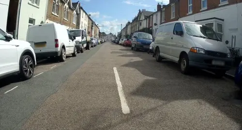
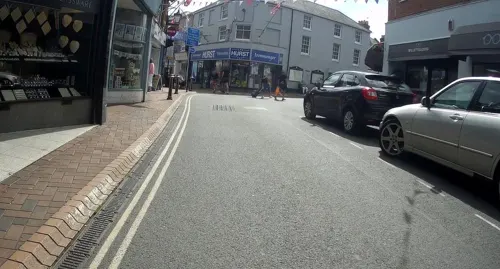
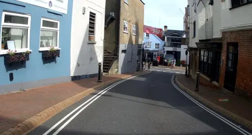
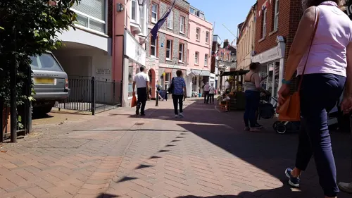
Bahar Tandori
Restaurant · Indian
44 High Street, Cowes
Mo-Su 17:30-23:30
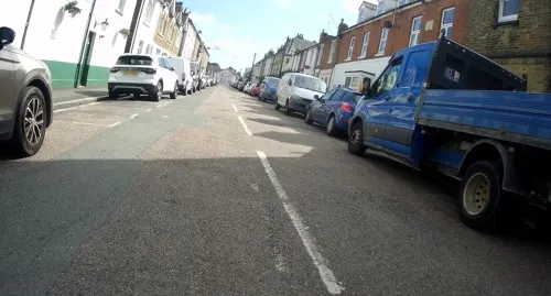
Hong Kong House
Restaurant · Chinese
7 Mill Hill Road, Cowes
Tu-Su 17:00-22:30; Mo off
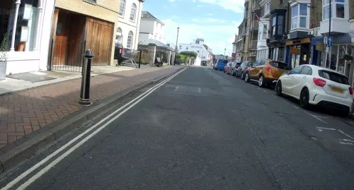

64 more on the map.
History
On 1 April 1933 East Cowes urban district was abolished and merged with Cowes, parts of the parishes of Northwood and Whippingham from the Isle of Wight Rural District were also moved to Cowes. On 1 April 1974 the district and parish were abolished and became part of Medina non-metropolitan district in the non-metropolitan and ceremonial county of the Isle of Wight. No successor parish was formed so it became unparished. On 1 April 1985 the parishes of Cowes and Gurnard were formed from part of the unparished area. In 1995 Medina district was merged with South Wight and Cowes became part of the Isle of Wight unitary authority area, in 1998 the parish of East Cowes was formed from part of the unparished area, on 1 April 2008 the rest of the unparished area was parished as Northwood and Whippingham.
Read more of the history
Both Cowes and East Cowes were originally named from Estcowe and Westcowe, two sandbanks on each side of the estuary of the River Medina, named from their resemblance to cows. Other coastal features are also named from animals: Horse Ledge near Shanklin, Cow Ledge near Little Atherfield and Bouldnor Cliffs. In ~1539, when Henry VIII built two blockades or forts to defend from French and Spanish invaders, they were known as the Est Cow and the West Cow, recorded in The Itinerary of John Leland (1535-1543). The plural name The Cowes was given to both Cowes and East Cowes until 1769, as their modern names were given to them then.
An older name may have been Shamelord, recorded in the 13th century. It still survives today, in the name Shambler's Copse, from Old English sceamol (shelf, ledge) and ord (point, spit of land)
The town's name has been subject to dispute in the past, sometimes being called Cowes, and then West Cowes. For example, a milestone from the 17th century exists, calling the town Cowes, but up until the late 19th Century the Urban District Council bore the name West Cowes. In 1895 West Cowes Urban District Council applied for permission to change the name of the town to Cowes officially, and this was granted on 21 August 1895.
Whilst the name Cowes has become well established on infrastructure related to the town (including maps, road signage and postal addresses), the name West Cowes remained on Admiralty charts, used by sailors, until 2015, when it was corrected following a letter from a Cowes resident.
Red Funnel, the Southampton-based ferry company that provides routes from Southampton to both Cowes and East Cowes, has continued to use the name West Cowes for the town in information and publicity and as the name for the town's terminal.
In earlier centuries the two settlements were much smaller and known as East and West Shamblord or Shamelhorde, the East being the more significant settlement.
The Isle of Wight was a target of attempted French invasions, and there were notable incursions. Henrician castles were built in both settlements in the sixteenth century. The west fort in Cowes still survives to this day, albeit without the original Tudor towers, as Cowes Castle. The fort built in East Cowes is believed to have been similar but was abandoned c. 1546 and since destroyed.
The seaport at Cowes was the first stop on English soil before crossing the Atlantic Ocean with many ships loaded with German and Swiss passengers leaving from Rotterdam and going to the New World destination of Philadelphia, Pennsylvania. These passengers were going to become British subjects in Colonial America, and the English captains made a written record of the stop in Cowes.
It is believed that the building of an 80-ton, 60-man vessel called Rat o' Wight on the banks of the river Medina in 1589 for the use of Queen Elizabeth I sowed the seed for Cowes to grow into a world-renowned centre of boatbuilding. However, seafaring for recreation and sport remained the exception rather than the rule until much later. It was not until the reign of keen sailor George IV that the stage was set for the heyday of Cowes as 'The Yachting Capital of the World.' In 1826 the Royal Yacht Squadron organised a three-day regatta for the first time and the next year the king signified his approval of the event by presenting a cup to mark the occasion. This became known as Cowes Regatta and it soon grew into a four-day event that always ended with a fireworks display.
The opium clippers Nina (1852), Eamont (1853) and Wild Dayrell (1854) were built in Cowes.
In Cowes the 18th-century house of Westbourne was home to a collector of customs whose son, born there in 1795, lived to become Dr Thomas Arnold, headmaster of Rugby School.
Northwood House was the home of the Ward family. It was donated under trust to the town in 1929, the grounds becoming Northwood Park. William George Ward was a close friend of the poet Tennyson and in whose memory the poet wrote six lines.
During an air raid of World War II on 4/5 May 1942, the local defences had been fortuitously augmented by the Polish destroyer Błyskawica (itself built by J. Samuel White in East Cowes), which put up such a determined defence that, in 2002, the crew's courage was honoured by a local commemoration lasting several days to mark the 60th anniversary of the event. In 2004 an area of Cowes was named Francki Place in honour of the ship's commander. The Friends of the ORP Błyskawica Society is active in Cowes. There is a Błyskawica Memorial.
From the History section of Cowes on Wikipedia, under CC BY-SA 4.0.
More about Cowes
Economy
Industry in both Cowes and East Cowes has always centred on the building and design of marine craft and materials associated with boat-making, including the early flying boats, and sail-making. It is the place where the first hovercraft was tested.
Major present-day employers include BAE Systems, which occupies the site of the old Somerton Aerodrome at Newport Road, Cowes; and GKN Aerospace in East Cowes.
The population of the town increases dramatically during Cowes Week, the busiest time of the year for local businesses. The town was reported to be doing well in 2009, despite the economic downturn.
The high street is where most of the retail shops in the town are located. These include specialist sailing shops catering for yachting enthusiasts, a small bookshop, hardware and homeware stores, an indoor plant shop and many more independent shops and businesses. There are a number of cafes and restaurants, including a coffee shop called PO41, despite the post code for Cowes being PO31.
From the Wikipedia article Cowes, under CC BY-SA 4.0.
Notable people from Cowes
 Jeremy IronsBritish actor (born 1948)Photo: Copyright owned by Jeremy Irons..., CC BY-SA 3.0
 Thomas ArnoldEnglish educator and historian, headmaster of Rugby School (1795-1842)Photo: Thomas Phillips, Public domain
 Mark KingBritish bassist and singerPhoto: Sven-Sebastian Sajak, CC BY-SA 3.0
 Charles Manbyengineer (1804-1884)Photo: Simon Harriyott from Uckfield, England, CC BY 2.0
- Arthur FoxEnglish-American fencer
- Declan Ronan LangBritish Catholic bishop
- William AttrillFrench cricketer (1868-1939)
- Lee BradburyEnglish footballer and manager (born 1975)
- Frederick Hughessailor (1866–1956)
- Colin RatseyBritish sailor (1906-1984)
- William JervoisBritish Army general (1821–1897)
- Uffa Foxsailboat designer
Born in Cowes, according to Wikidata (CC0). Each name links to its Wikipedia article.
Where to stay20
Churches and places of worship19
Shopping29
Gas and EV charging1
Schools, colleges and libraries9
Healthcare6
Map of Cowes
205 places. The map loads OpenStreetMap tiles when you open it.
Getting there and nearby towns
Bembridge Airport (BBP) is the nearest airport with scheduled flights listed in OpenStreetMap, 10 miles away.
- Newport 4 mi south, about 7 min by car
- Ryde 6 mi east, about 10 min by car
- Hythe 8 mi northwest, about 13 min by car
- Portsmouth 9 mi east, about 15 min by car
- Sandown 10 mi southeast, about 16 min by car
- Southampton 11 mi northwest, about 17 min by car
- Lymington 11 mi west, about 17 min by car
- South Hayling 14 mi east, about 23 min by car
- Fair Oak 14 mi north, about 22 min by car
- New Milton 16 mi west, about 26 min by car
Drive times are estimates from straight-line distance, not routes.
Towns near Cowes


Keep exploring
Local news
Headlines from INDB.
Reviews, tips and questions
Loading what members have shared...
Sources and licences
- GeoNames (CC BY 4.0): population, coordinates, regions and time zone
- Mapillary (see each image): photos
- OpenStreetMap contributors (ODbL 1.0): places, airports, map data
- Wikidata (CC0 1.0): landmarks and historic places
- Wikimedia Commons (see each image): photos
- Wikipedia (CC BY-SA 4.0): overview and history text
Photo credits
- Buildings in Cowes as seen from esplanade, Garry Knight, CC BY-SA 2.0
- Hampshire Police in Cowes High Street during Cowes Week 2012, Editor5807, CC BY-SA 4.0
- Cowes High Street during Cowes Week 2012 7, Editor5807, CC BY-SA 4.0
- Southern Vectis 308 HW54 BUF and 319 SN03 LDJ and Cowes High Street, Arriva436, CC BY-SA 3.0
- Southern Vectis 308 HW54 BUF and Cowes High Street, Arriva436, CC BY-SA 3.0
- Southern Vectis 319 SN03 LDJ and Cowes High Street, Arriva436, CC BY-SA 3.0
- Bus in Cowes High Street, Arriva436, CC BY-SA 3.0
- Cowes. Looking down the hill. - panoramio, grumpylumixuser, CC BY 3.0
- Southern Vectis 3329 HW54 DCE and Cowes High Street, Editor5807, CC BY 3.0
- Cowes Fountain Quay archway onto Red Jet terminal, Arriva436, CC BY-SA 3.0
- Buses at Cowes Pontoon 4, Arriva436, CC BY-SA 3.0
- Buses at Cowes Pontoon 5, Arriva436, CC BY-SA 3.0
- Buses at Cowes Pontoon 2, Arriva436, CC BY-SA 3.0
- Buses at Cowes Pontoon 3, Arriva436, CC BY-SA 3.0
- Buses at Cowes Pontoon 6, Arriva436, CC BY-SA 3.0
- Flickr - ronsaunders47 - COWES FRONT. IOW (1), Ronald Saunders from Warrington, UK, CC BY-SA 2.0
- Flickr - ronsaunders47 - COWES GUNS. IOW, Ronald Saunders from Warrington, UK, CC BY-SA 2.0
- Osborne House from the air, Humac45, CC BY-SA 3.0
- St John the Baptist Church, Northwood, Nokeyblokey, CC BY-SA 3.0
- St. Faith's Church, Cowes, Editor5807, Public domain
- Whippingham Church c1910 - Project Gutenberg eText 17296.jpg, Unknown author, Public domain
- All Saints' Church, Gurnard, Editor5807, Public domain
- Holy Trinity Church in Cowes, Editor5807, Public domain
- St James Church, East Cowes, Editor5807, Public domain
- St. Mary's Church in Cowes, Editor5807, Public domain
- Galleryentrance, Jacksoncowes, CC BY-SA 3.0
- Cowes High School, Arriva436, CC BY-SA 3.0
- Cowes Library and Maritime Museum, Editor5807, Public domain
- West Cowes Castle, Nilfanion, CC BY-SA 3.0
- Northwood House, Prior George, CC BY-SA 3.0
- St Thomas of Canterbury's RC Church, Terminus Road, Cowes, Isle of Wight (May 2016) (5), Hassocks5489, CC0
- Cowes Library in February 2011, Arriva436, CC BY 3.0
- Church of St Mary the Virgin, Cowes, Isle of Wight, UK, Mypix, CC BY-SA 4.0
- St James's Church, East Cowes, Isle of Wight, UK, Mypix, CC BY-SA 4.0
- Southern Vectis 313 HW54 BUU rear, Arriva436, CC BY-SA 3.0
- Southern Vectis 303 HW54 BTX rear, Arriva436, CC BY-SA 3.0
- Egypt Point light in August 2012, Editor5807, CC BY-SA 4.0
- Captain Charles Bishop - 9 Medina Rd, Cowes PO31 7BU, Spudgun67, CC BY-SA 4.0
- Cowes Yacht Haven during Cowes Week 2012 12, Editor5807, CC BY-SA 4.0
- Street-level photo, mappernerd, CC BY-SA 4.0
- Street-level photo, mappernerd, CC BY-SA 4.0
- Street-level photo, jpennycook, CC BY-SA 4.0
- Street-level photo, mappernerd, CC BY-SA 4.0
- Street-level photo, jpennycook, CC BY-SA 4.0
- Street-level photo, jpennycook, CC BY-SA 4.0
- Street-level photo, jpennycook, CC BY-SA 4.0
- Street-level photo, jpennycook, CC BY-SA 4.0
- Street-level photo, jpennycook, CC BY-SA 4.0
- Street-level photo, jpennycook, CC BY-SA 4.0
- Street-level photo, jpennycook, CC BY-SA 4.0
- Street-level photo, jpennycook, CC BY-SA 4.0
- Street-level photo, mappernerd, CC BY-SA 4.0
- Street-level photo, jpennycook, CC BY-SA 4.0
- Street-level photo, jpennycook, CC BY-SA 4.0
- Street-level photo, mappernerd, CC BY-SA 4.0
- Street-level photo, mappernerd, CC BY-SA 4.0
- Street-level photo, jpennycook, CC BY-SA 4.0
- Street-level photo, jpennycook, CC BY-SA 4.0
- Street-level photo, mappernerd, CC BY-SA 4.0
- Street-level photo, jpennycook, CC BY-SA 4.0
- Street-level photo, mappernerd, CC BY-SA 4.0
- Street-level photo, jpennycook, CC BY-SA 4.0
- Street-level photo, mappernerd, CC BY-SA 4.0
- Street-level photo, oferreira, CC BY-SA 4.0
- Street-level photo, mappernerd, CC BY-SA 4.0
- Street-level photo, mappernerd, CC BY-SA 4.0
- Street-level photo, mappernerd, CC BY-SA 4.0


Page built November 10, 2026. Spotted a mistake? Tell us or suggest a place.