


Why visit Godshill
Townapedia lists 13 museums and landmarks, 11 parks and trails, 24 places to eat, 10 places to stay and 21 attractions in and around town.
Highlights include Amazon World, Blackgang Chine, Appuldurcombe House and National Poo Museum.
Weather in Godshill
Forecast from MET Norway (CC BY 4.0). Full forecast
About Godshill
Godshill is a village and civil parish on the Isle of Wight, England, with a population of 1,459 at the 2011 Census. It lies between Newport and Ventnor in the southeast of the island.
From the Wikipedia article Godshill (this version), under CC BY-SA 4.0.
Photos of Godshill


Things to do21


Shanklin Theatre
Cinema and theater · 3.4 mi
Theatre and former town hall in Shanklin, Isle of Wight, England, UK

St Catherine's Oratory
Lighthouse · 3.5 mi
Medieval lighthouse on the Isle of Wight, England, UK

St. Catherine's Lighthouse
Lighthouse · 4.4 mi
Lighthouse on the southernmost point of the Isle of Wight, England, UK

Town Hall
Cinema and theater · 3.5 mi
Former town hall, theatre, ballroom and nightclub in Ventnor, Isle of Wight, England; now flats, only façade remaining


Robin Hill
Monument and historic site · 3.8 mi
Theme park in Downend,, Isle of Wight


9 more on the map.
Museums and landmarks13


Newport Roman Villa
Museum · 4.5 mi
Roman villa on the Isle of Wight, England, UK



Rylstone Manor
Museum · 3.5 mi
Country house hotel in Shanklin, Isle of Wight, England, UK
1 more on the map.
Parks, trails and playgrounds11




Ventnor Golf Club
Golf course · 2.5 mi
12 hole with alternating tee boxes (Par 70 for 18)
Steephill Down Road, Ventnor
Restaurants and cafes24

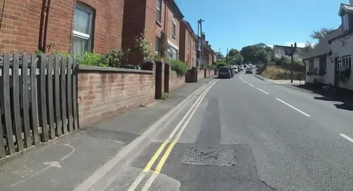
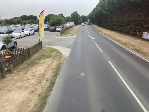



12 more on the map.
History
Ford Farm near Godshill was the site of the first Isle of Wight Festival in 1968, which attracted 10,000 people to see acts such as Jefferson Airplane and Arthur Brown.
Godshill Park House dates from about 1760 and was built as a home farm to serve the Appuldurcombe Estate. In around 1860 the house was extended, adding the Regency front, and became a private residence. It was used in the Second World War as an army hospital.
From the History section of Godshill on Wikipedia, under CC BY-SA 4.0.
Notable people from Godshill
- Henry ColeEnglish Roman Catholic churchman and academic
Born in Godshill, according to Wikidata (CC0). Each name links to its Wikipedia article.
Where to stay10
Churches and places of worship27
Shopping6
Gas and EV charging2
Schools, colleges and libraries2
Map of Godshill
116 places. The map loads OpenStreetMap tiles when you open it.
Getting there and nearby towns
Bembridge Airport (BBP) is the nearest airport with scheduled flights listed in OpenStreetMap, 7 miles away.
- Wroxall 2 mi southeast, about 3 min by car
- Niton 3 mi southwest, about 6 min by car
- Sandown 4 mi east, about 7 min by car
- Newport 5 mi north, about 8 min by car
- Ryde 8 mi northeast, about 13 min by car
- St. Helens 8 mi northeast, about 12 min by car
- Cowes 9 mi north, about 15 min by car
- Gosport 12 mi northeast, about 20 min by car
- Portsmouth 14 mi northeast, about 22 min by car
- Fareham 15 mi north, about 25 min by car
Drive times are estimates from straight-line distance, not routes.
Towns near Godshill


Keep exploring
Local news
Headlines from INDB.
Reviews, tips and questions
Loading what members have shared...
Sources and licences
- GeoNames (CC BY 4.0): population, coordinates, regions and time zone
- Mapillary (see each image): photos
- OpenStreetMap contributors (ODbL 1.0): places, airports, map data
- Wikidata (CC0 1.0): elevation, founding date, time zone, website, landmarks and historic places
- Wikimedia Commons (see each image): photos
- Wikipedia (CC BY-SA 4.0): overview and history text
Photo credits
- Thatched cottages, Godshill, Isle of Wight, England, ITookSomePhotos, CC BY-SA 4.0
- Church Hollow, Godshill, IW, Shlumble, CC0
- Godshill Model Village 18, Simon Burchell, CC BY-SA 4.0
- Godshill Model Village 20, Simon Burchell, CC BY-SA 4.0
- Godshill Model Village 12, Simon Burchell, CC BY-SA 4.0
- Godshill Model Village 08, Simon Burchell, CC BY-SA 4.0
- Godshill Model Village 21, Simon Burchell, CC BY-SA 4.0
- Godshill Model Village 16, Simon Burchell, CC BY-SA 4.0
- Godshill Model Village 06, Simon Burchell, CC BY-SA 4.0
- Godshill Model Village 19, Simon Burchell, CC BY-SA 4.0
- Godshill Model Village 02, Simon Burchell, CC BY-SA 4.0
- Blackgang Chine, IW, UK, Mypix, CC BY-SA 4.0
- Shanklin Theatre, Editor5807, CC BY 3.0
- Stcatherineoratory3Ja10, Antony McCallum, CC BY 3.0
- St catherines lighthouse 2010, Jaapkievit, CC BY 3.0
- Southern Vectis 1149 HW09 BCO 5, Arriva436, CC BY-SA 3.0
- Poo Tree Exhibit, PooMuseum, CC BY-SA 4.0
- Newport Roman Villa, Editor5807, Public domain
- All Saints' Church, Godshill 01, Simon Burchell, CC BY-SA 4.0
- All Saints Church, High Street, Newchurch (May 2016) (4), Hassocks5489, CC0
- Christ Church, Broadway, Sandown (July 2016) (6), Hassocks5489, CC0
- Entrance to Church of St. John the Baptist in Niton, Editor5807, Public domain
- Whitwell Church, Editor5807 ( talk ) 11:18, 15 July 2008 (UTC), Public domain
- Carisbrooke Castle 2011, 22, Nilfanion, CC BY-SA 3.0
- St Saviour-on-the-Cliff Church, Queens Road, Shanklin (July 2016) (2), Hassocks5489, CC0
- Church of The Good Shepherd, Lake Road, Lake, Isle of Wight (July 2016) (4), Hassocks5489, CC0
- Chale Church, lostajy, CC BY 2.0
- Appuldurcombe House, Cpsterling, CC BY-SA 3.0
- Pidford Manor Front, 1Rosco1, CC BY 4.0
- Chequers Inn, Rookley, IW, UK, Mypix, CC BY-SA 4.0
- Alverstone Mead Pose (6662341397), Peter Trimming from Croydon, England, CC BY 2.0
- Worsley Obelisk, Appuldurcombe Down, Isle of Wight, England, ITookSomePhotos, CC BY-SA 4.0
- Hale Manor fishing lakes, Isle of Wight, England, ITookSomePhotos, CC BY-SA 4.0
- Godshill Model Village 05, Simon Burchell, CC BY-SA 4.0
- Freemantle Gate, Prior George, CC BY-SA 3.0
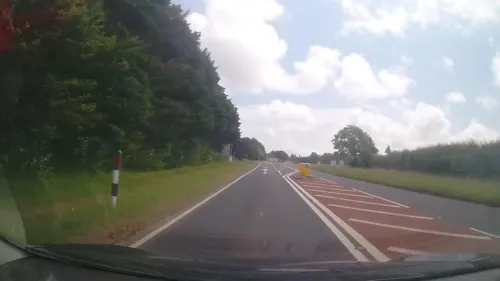
- Street-level photo, mappernerd, CC BY-SA 4.0
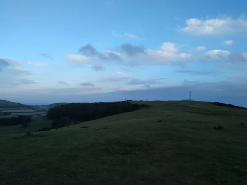
- Street-level photo, trigpoint, CC BY-SA 4.0
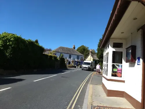
- Street-level photo, cjmalone, CC BY-SA 4.0
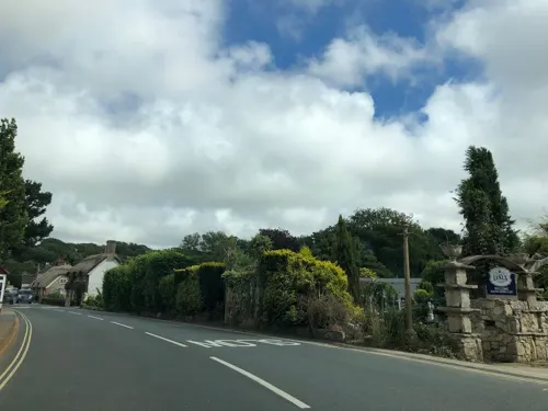
- Street-level photo, mappernerd, CC BY-SA 4.0
- Street-level photo, jpennycook, CC BY-SA 4.0
- Street-level photo, mappernerd, CC BY-SA 4.0
- Street-level photo, onthewight, CC BY-SA 4.0
- Street-level photo, oferreira, CC BY-SA 4.0
- Street-level photo, jpennycook, CC BY-SA 4.0
- Street-level photo, cjmalone, CC BY-SA 4.0
- Street-level photo, jpennycook, CC BY-SA 4.0
- Street-level photo, jpennycook, CC BY-SA 4.0
- Street-level photo, oferreira, CC BY-SA 4.0
- Street-level photo, cjmalone, CC BY-SA 4.0
- Street-level photo, jpennycook, CC BY-SA 4.0
- Street-level photo, mappernerd, CC BY-SA 4.0
- Street-level photo, cjmalone, CC BY-SA 4.0
- Street-level photo, cjmalone, CC BY-SA 4.0
- Street-level photo, jpennycook, CC BY-SA 4.0
- Street-level photo, cjmalone, CC BY-SA 4.0


Page built November 10, 2026. Spotted a mistake? Tell us or suggest a place.