


Why visit Brinklow
Townapedia lists 3 museums and landmarks, 5 parks and trails, 6 places to eat and 1 attraction in and around town.
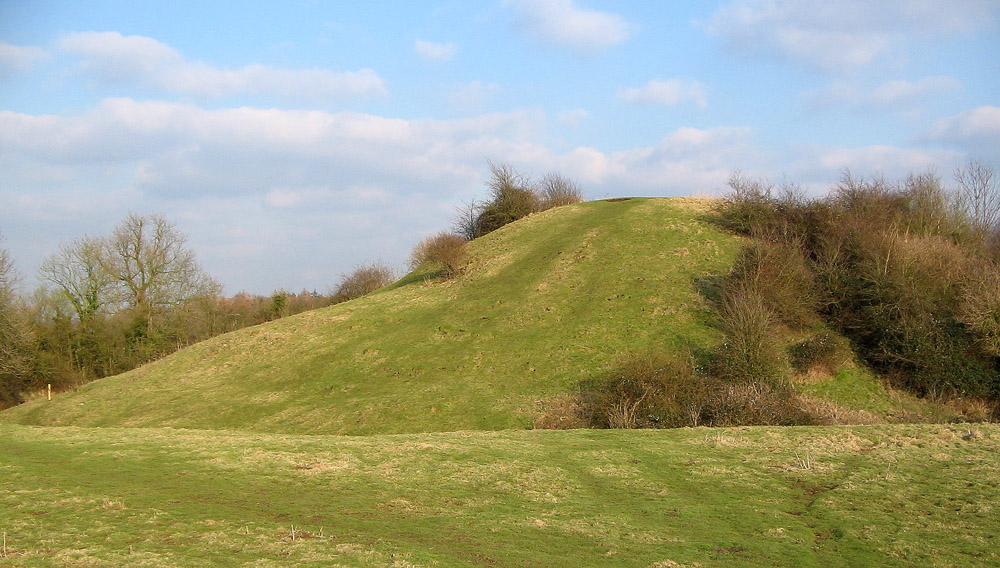
Highlights include Brinklow Castle, Brandon Castle, Wolston Priory and Coombe Country Park.
Weather in Brinklow
Forecast from MET Norway (CC BY 4.0). Full forecast
About Brinklow
Brinklow is a village and civil parish in the Rugby district of Warwickshire, England. It is about halfway between Rugby and Coventry. The parish had a population of 1,120 at the 2021 Census.
From the Wikipedia article Brinklow (this version), under CC BY-SA 4.0.
Photos of Brinklow

Things to do1

Museums and landmarks3

Brandon Castle
Monument and historic site · 2.7 mi
Castle in Warwickshire, England, UK

Wolston Priory
Monument and historic site · 2.4 mi
Benedictine priory in Warwickshire, England, UK

Parks, trails and playgrounds5




Restaurants and cafes6
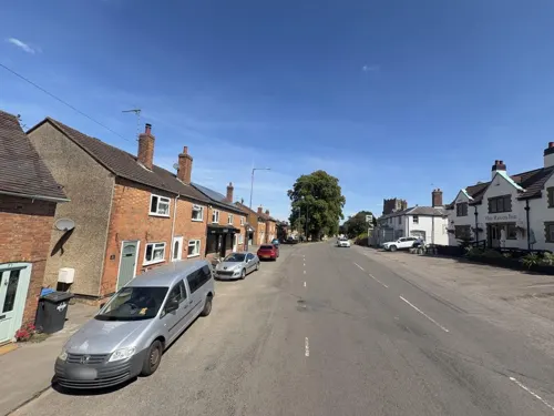
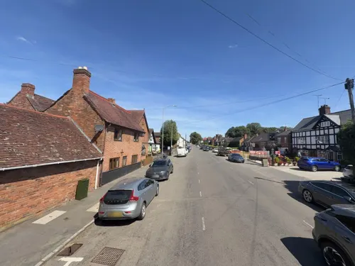
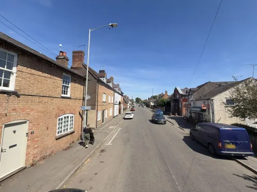
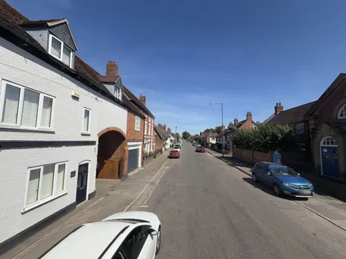
History
The village likely has ancient origins as there was a pre-Roman burial mound located here, which the Romans diverted their Fosse Way road around. The mound later became a Norman motte-and-bailey castle (Brinklow Castle, known locally as The Tump or the Big Hill), which is one of the largest and best preserved of its type in England.
Brinklow was not mentioned in the Domesday Book, as it was likely founded as a market town in 1218, when it was granted a market charter, however the market had died out long before the 19th century.
The village church of St John the Baptist is one of the oldest buildings in the village, dating from the 13th century; it was built by monks from Kenilworth Abbey, and the first record of a priest here was from 1252. The church was partly rebuilt in the 15th century, but incorporating parts of the earlier church.
The village thrived in part due to the nearby great houses of Coombe Abbey and Newbold Revel, and the trades of candlemaking, basket weaving and silk manufacture all took place in the village.
The Oxford Canal was opened through the village in 1790, and this brought extra prosperity to the village, although it was later straightened out in the 1830s, and the new course bypassed Brinklow to the east, although a stretch of the old route remained open as an arm of the canal serving the village.
Read more of the history
Between 1847 and 1957, Brinklow had its own railway station on the Trent Valley Line, located around one mile to the north of the village.
The village formerly had a primary school, but this was closed in 1996.
At one time there were four public houses in the village; The Raven, the White Lion, the Dun Cow and the Bull's Head.
From the History section of Brinklow on Wikipedia, under CC BY-SA 4.0.
Churches and places of worship5
Schools, colleges and libraries1
Map of Brinklow
21 places. The map loads OpenStreetMap tiles when you open it.
Getting there and nearby towns
Birmingham Airport (BHX) is the nearest airport with scheduled flights listed in OpenStreetMap, 16 miles away.
- Ryton on Dunsmore 4 mi southwest, about 7 min by car
- Rugby 5 mi southeast, about 8 min by car
- Coventry 6 mi west, about 10 min by car
- Bedworth 6 mi northwest, about 10 min by car
- Nuneaton 9 mi northwest, about 14 min by car
- Hinckley 9 mi north, about 14 min by car
- Long Itchington 9 mi south, about 14 min by car
- Kenilworth 10 mi southwest, about 16 min by car
- Stockton 10 mi south, about 15 min by car
- Royal Leamington Spa 11 mi southwest, about 18 min by car
Drive times are estimates from straight-line distance, not routes.
Towns near Brinklow


Keep exploring
Local news
Headlines from INDB.
Reviews, tips and questions
Loading what members have shared...
Sources and licences
- GeoNames (CC BY 4.0): population, coordinates, regions and time zone
- Mapillary (see each image): photos
- OpenStreetMap contributors (ODbL 1.0): places, airports, map data
- Wikidata (CC0 1.0): elevation, founding date, time zone, website, landmarks and historic places
- Wikimedia Commons (see each image): photos
- Wikipedia (CC BY-SA 4.0): overview and history text
Photo credits
- Brinklow War Memorial, Brinklow, Warwickshire, Mertbiol, CC0
- Remains of Brandon Castle, David Stowell, CC BY-SA 2.0
- The Priory, Wolston, Fitzsimons, CC BY-SA 4.0
- WTC Dumbledore's Army StBartholemew'sChurch4, Carmen McLean-Ellmann, Oliver Ellmann (Wikipedia Takes Coventry participant), CC BY 3.0
- WTC Anthony & Henri StMary'sChurch3, Anthony Hartwell (Wikipedia Takes Coventry participant), CC BY-SA 3.0
- Brinklow castle mound, Unknown author, Public domain
- 2003 lake3 scenic photos (3), Coombe country park, CC BY 3.0
- Close-up of the inscription (OpenBenches 8098), Anonymous Unknown author, CC BY-SA 4.0
- Brinklow Marina, Cathiron, UK, Ian Rob, CC BY-SA 2.0
- Street-level photo, gness, CC BY-SA 4.0
- Street-level photo, gness, CC BY-SA 4.0
- Street-level photo, gness, CC BY-SA 4.0
- Street-level photo, gness, CC BY-SA 4.0
- Street-level photo, gness, CC BY-SA 4.0
- Street-level photo, gness, CC BY-SA 4.0
- Street-level photo, gness, CC BY-SA 4.0
- Street-level photo, alexanderar, CC BY-SA 4.0
- Street-level photo, gness, CC BY-SA 4.0
- Street-level photo, alexanderar, CC BY-SA 4.0
Page built November 10, 2026. Spotted a mistake? Tell us or suggest a place.