


Broxbourne, United Kingdom
Broxbourne is a town of 13,298 people in England, United Kingdom.
Why visit Broxbourne
Townapedia lists 7 museums and landmarks, 15 parks and trails, 80 places to eat, 5 places to stay and 1 attraction in and around town.
Highlights include Spotlight Theatre, Lowewood Museum, Coal tax obelisk and Barclay Park.
Weather in Broxbourne
Forecast from MET Norway (CC BY 4.0). Full forecast
About Broxbourne
Broxbourne is a town in the Borough of Broxbourne in Hertfordshire, England, with a population of 15,303 at the 2011 Census. It is located to the south of Hoddesdon and to the north of Cheshunt, 17 miles (27 km) north of London. The town is near the River Lea, which forms the boundary with Essex, and 5 miles (8.0 km) north of the M25 motorway. To the west of the town are Broxbourne Woods, a national nature reserve.
From the Wikipedia article Broxbourne (this version), under CC BY-SA 4.0.
Things to do1

Museums and landmarks7

Lowewood Museum
Museum · 0.6 mi
High Street, Hoddesdon
We-Fr 10:00-16:00; Sa 10:00-17:00



Parks, trails and playgrounds15


River Lee Country Park
Park · 3.2 mi
Protected area in Hertfordshire, England

The Hertfordshire Golf & Country Club
Golf course · 1.0 mi
18 hole Par 70
White Stubbs Lane, Broxbourne


3 more on the map.
Restaurants and cafes80
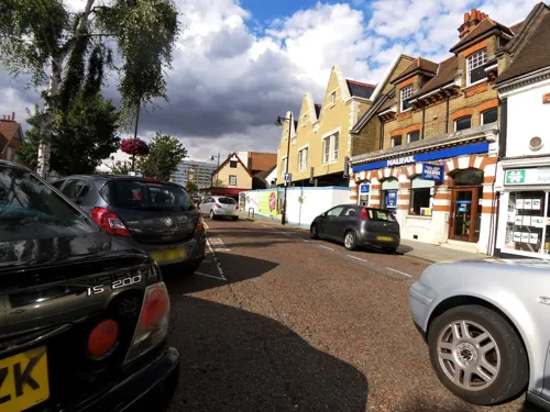
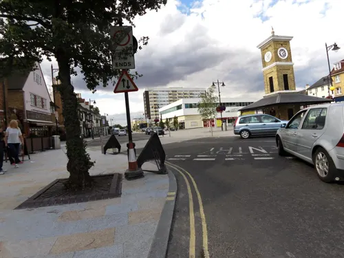
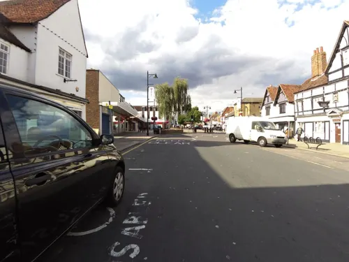
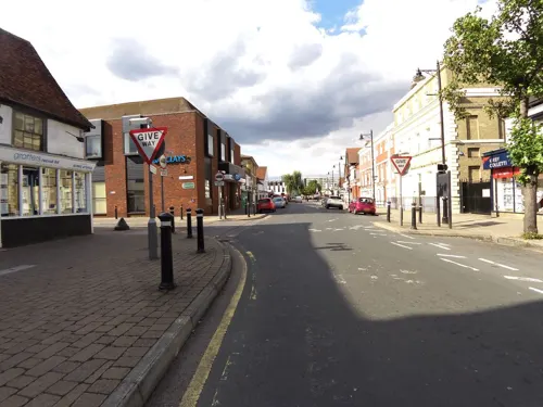
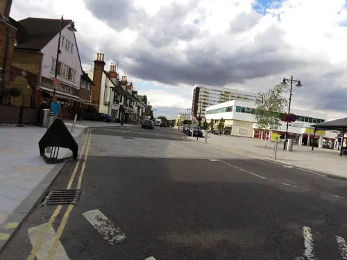
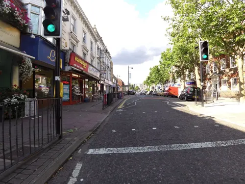
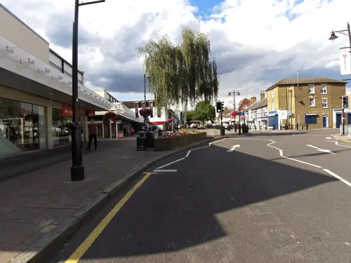




68 more on the map.
History
Broxbourne grew around inns on the Great Cambridge Road, now known as the A10. A number of old houses and inns dating from the 16th to the 19th centuries still line the High Street (now the A1170). The Hertfordshire Golf and Country Club is a 16th Century house with later alterations and additions.
The Manor of Broxbourne has an entry in the Domesday Book as Brochtsborne, where Broxbourne Mill is listed. The manor was held in the time of Edward the Confessor by Stigand, the Archbishop of Canterbury, but had passed into Norman hands following the Conquest. King John granted the manor to the Knights Hospitallers until the Dissolution, when it passed to John Cock, after whose family Cock Lane is named.
The parish church of St Augustine was entirely rebuilt in the 15th century, although a 12th-century Purbeck marble font survives. The interior has a number of monuments and brasses dating from the 15th to the 19th centuries. The three stage tower has a belfry with a peal of eight bells, three of which are dated 1615.
The New River which passes through the centre of the town, was constructed in the early 17th century.
A terra cotta works was opened in the mid 19th century. by James Pulham and Son, who specialised in creating artificial rock garden features; some of their work survives in the gardens at Sandringham House and Buckingham Palace.
Read more of the history
Broxbourne railway station was built in 1840. The station was substantially redeveloped in the mid-20th century. It has been Grade II listed since March 2009;
Pulham House was demolished in 1957. All that remained was one of the six brick kilns and the horse-drawn puddling wheel that ground the terracotta, which are now Grade II listed. The local council originally conserved these in 1986, and in 2016 full conservation was undertaken as part of a joint project between B3Living, Lowewood Museum and Broxbourne Borough Council, with support from the Heritage Lottery Fund.
The area was exploited for its gravel and sand extraction in the twentieth century leaving numerous water-filled lakes. Several of the lakes form part of the Lee Valley Regional Park.
From the History section of Broxbourne on Wikipedia, under CC BY-SA 4.0.
Notable people from Broxbourne
 Catherine BearderBritish politician and MEPPhoto: Diliff, CC BY-SA 3.0
 Guy BoltonBritish-American dramatist and playwright (1884-1979)Photo: Stanley Green, Public domain
 Rachel TreweekAnglican bishop in EnglandPhoto: Roger Harris, CC BY 3.0
- Elizabeth MaconchyEnglish composer (1907-1994)
- James WarwickEnglish actor
- Geoffrey SampsonBritish academic
- Bob HenritEnglish drummer
- David WatsonBritish academic and educationalist (1949-2015)
- Wolverley FordhamEnglish cricketer (1859-1921)
- Sam LingEnglish professional footballer born 1996
- Donald Bousfieldcricketer (1914-2001)
- Edward Talbot ThackerayEnglish military officer (1836–1927); recipient of the Victoria Cross
Born in Broxbourne, according to Wikidata (CC0). Each name links to its Wikipedia article.
Where to stay5
Churches and places of worship14
Hoddesdon Methodist Church
Church · Methodist · 1.5 mi
Middlefield Road, Hoddesdon
Kingdom Hall of Jehovahs Witnesses
Church · Jehovahs Witness · 0.9 mi
Charlton Close, Hoddesdon
Shopping10
Gas and EV charging4
Schools, colleges and libraries12
Healthcare8
Map of Broxbourne
156 places. The map loads OpenStreetMap tiles when you open it.
Getting there and nearby towns
London Stansted Airport (STN) is the nearest airport with scheduled flights listed in OpenStreetMap, 15 miles away.
- Hertford 4 mi northwest, about 7 min by car
- Waltham Abbey 4 mi south, about 7 min by car
- Ware 4 mi north, about 7 min by car
- Waltham Cross 4 mi south, about 7 min by car
- Enfield Lock 5 mi south, about 8 min by car
- Enfield Town 7 mi southwest, about 12 min by car
- Epping 7 mi southeast, about 10 min by car
- Ponders End 7 mi south, about 12 min by car
- Potters Bar 8 mi southwest, about 12 min by car
- Buckhurst Hill 9 mi south, about 14 min by car
Drive times are estimates from straight-line distance, not routes.
Towns near Broxbourne


Keep exploring
Local news
Headlines from INDB.
Reviews, tips and questions
Loading what members have shared...
Sources and licences
- GeoNames (CC BY 4.0): population, coordinates, regions and time zone
- Mapillary (see each image): photos
- OpenStreetMap contributors (ODbL 1.0): places, airports, map data
- Wikidata (CC0 1.0): elevation, founding date, time zone, website, landmarks and historic places
- Wikimedia Commons (see each image): photos
- Wikipedia (CC BY-SA 4.0): overview and history text
Photo credits
- 2022-01-29 St Augustine's Church, Broxbourne, The wub, CC BY-SA 4.0
- 2022-02-05 Broxbourne war memorial 1, The wub, CC BY-SA 4.0
- 2022-02-05 Broxbourne war memorial 2, The wub, CC BY-SA 4.0
- 2022-02-05 St Augustine's church, Broxbourne 1, The wub, CC BY-SA 4.0
- 2022-02-05 St Augustine's church, Broxbourne 2, The wub, CC BY-SA 4.0
- Cheshunt Park 10, Dudley Miles, CC BY-SA 4.0
- Hertford Heath north 9, Dudley Miles, CC BY-SA 4.0
- Ailurus fulgens -Paradise Wildlife Park, Hertfordshire, England-8a, William Warby from London, England, CC BY 2.0
- Nazeing Triangle 6, Dudley Miles, CC BY-SA 4.0
- Lowewood museum front exterior, Geni, CC BY-SA 4.0
- Fishers Green, Footprints, CC BY-SA 2.0
- Balls Wood 8, Dudley Miles, CC BY-SA 4.0
- Danemead 5, Dudley Miles, CC BY-SA 4.0
- Coal tax obelisk Wormley, Roger W Haworth, CC BY-SA 2.0
- GOC Hoddesdon 064 Hoddesdon Lodge, Hoddesdon (29364283821), Peter O'Connor aka anemoneprojectors, CC BY-SA 2.0
- GOC Hoddesdon 006 Barclay Park, Hoddesdon (29176082382), Peter O'Connor aka anemoneprojectors, CC BY-SA 2.0
- Street-level photo, smsm1, CC BY-SA 4.0
- Street-level photo, smsm1, CC BY-SA 4.0
- Street-level photo, smsm1, CC BY-SA 4.0
- Street-level photo, smsm1, CC BY-SA 4.0
- Street-level photo, smsm1, CC BY-SA 4.0
- Street-level photo, smsm1, CC BY-SA 4.0
- Street-level photo, smsm1, CC BY-SA 4.0
- Street-level photo, smsm1, CC BY-SA 4.0
- Street-level photo, smsm1, CC BY-SA 4.0
- Street-level photo, smsm1, CC BY-SA 4.0
- Street-level photo, smsm1, CC BY-SA 4.0
- Street-level photo, smsm1, CC BY-SA 4.0
- Street-level photo, smsm1, CC BY-SA 4.0
- Street-level photo, smsm1, CC BY-SA 4.0
- Street-level photo, smsm1, CC BY-SA 4.0
- Street-level photo, wasd42, CC BY-SA 4.0
- Street-level photo, wasd42, CC BY-SA 4.0
- Street-level photo, cyclestreets, CC BY-SA 4.0
- Street-level photo, smsm1, CC BY-SA 4.0
Page built November 10, 2026. Spotted a mistake? Tell us or suggest a place.