


Potters Bar, United Kingdom
Potters Bar is a town of 22,639 people in England, United Kingdom.
Why visit Potters Bar
Townapedia lists 16 museums and landmarks, 25 parks and trails, 73 places to eat and 1 attraction in and around town.
Highlights include Wyllyotts Theatre, Barnet Boys School Boer War Memorial, Barnet Museum and Fir and Pond Woods.
Weather in Potters Bar
Forecast from MET Norway (CC BY 4.0). Full forecast
About Potters Bar
Potters Bar is a town in Hertfordshire, England, 13 miles (21 km) north of central London. In 2011, it had a population of 21,882. In the 2021 census, the four wards that make up Potters Bar – Bentley Heath & The Royds, Furzefield, Oakmere and Parkfield – had a combined population of 22,536; this includes several smaller outlying hamlets contained in the Bentley Heath & The Royds ward, such as Bentley Heath and Ganwick Corner. In 2022, the population was around 23,325.
From the Wikipedia article Potters Bar (this version), under CC BY-SA 4.0.
Travel tips from other travellers: Potters Bar on Wikivoyage (CC BY-SA 4.0).
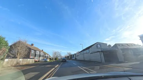
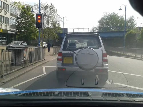
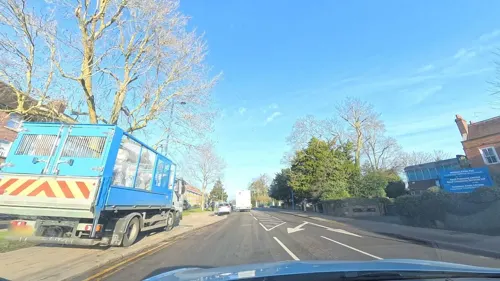
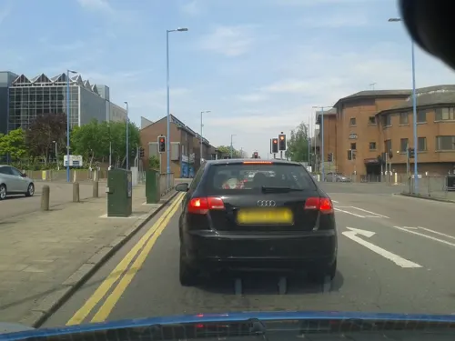
Photos of Potters Bar

Things to do1

Museums and landmarks16

Barnet Boys School Boer War Memorial
Monument and historic site · 2.7 mi
War memorial in Chipping Barnet, London


Chipping Barnet War Memorial
Monument and historic site · 3.0 mi
War memorial in London

Cockfosters War Memorial
Monument and historic site · 2.9 mi
War memorial in London

Monken Hadley War Memorial
Monument and historic site · 2.2 mi
War memorial in London

New Barnet (East Barnet Valley) War Memorial
Monument and historic site · 3.0 mi
War memorial in London

The War Memorial, St John's Churchyard
Monument and historic site
War memorial in Hertsmere, Hertfordshire, England, UK


4 more on the map.
Parks, trails and playgrounds25

Fir and Pond Woods
Park · 1.0 mi
Nature reserve near Potters Bar, Hertfordshire, England, UK


Belmont Open Space
Park · 3.3 mi
Public park in Cockfosters in the London Borough of Barnet


King George's Fields (Monken Hadley)
Park · 2.7 mi
Park in north London


Trent Park
Park · 3.0 mi
Park in the London Borough of Enfield, UK; in WW2 Camp for highranking enemy officers

Furzefield Wood and Lower Halfpenny
Park · 1.4 mi
Nature reserve in Hertfordshire, England
13 more on the map.
Restaurants and cafes73


The Builders Arms
Bar and pub · 0.9 mi
47 Heath Road, Potters Bar
Mo-Th 12:00-23:00; Fr,Sa 12:00-24:00; Su 12:00-22:00



61 more on the map.
History
Potters Bar is located on the Great North Road, one of two road routes from the City of London to the north of England. The road was originally numbered as the A1 and later the A1000.
Potters Bar was historically part of Middlesex and formed the Potters Bar Urban District of that county from 1934. From 1894 to 1934 its area had formed the South Mimms Rural District. In 1965, the district was transferred to Hertfordshire County Council, while most of the rest of Middlesex County Council became part of Greater London.
The urban district covered an area of 6,129 acres (24.80 km2). In 1939, it had a population of 13,681, increasing to 24,613 in 1971. In 1974, the urban district was abolished and the area became part of the borough of Hertsmere. Having been part of Middlesex, the area continued to form part of the Metropolitan Police District; with the creation of the Greater London Authority, it was transferred to the Hertfordshire Constabulary in 2000.
Wrotham Park estate, home of the Byng family, sits within Potters Bar and Barnet on 2,500 acres of land. The Byng family still own a lot of land in the Potters Bar area; The Admiral Byng pub in Darkes Lane is named after Admiral John Byng, who was executed for failing to obey orders in the Minorca campaign.
Read more of the history
In the early hours of 1 October 1916, Lieutenant Wulstan Tempest shot down Germany's most famous zeppelin, the L31. It was captained by Heinrich Mathy and had a crew of 19. All were killed when the flaming zeppelin fell into an ancient oak tree on the Oakmere Estate, Oakmere House at the time being rented by Mrs Forbes. The deadly raids over England declined after this. The 19 German sailors (zeppelins were naval) were buried in the local cemetery and, decades later, reinterred at Cannock Chase German Military Cemetery. The Potters Bar Museum has a Zeppelin display, with relics of the L31.
There have been three fatal railway accidents at Potters Bar. In 1899, the Earl of Strafford was killed at the station when, according to witnesses, he appeared to step out in front of an express train. In 1946, signals were passed at danger causing derailment and the death of two passengers. In 2002, while passing through the station, a northbound train derailed at high speed, killing seven and injuring 76. In the aftermath of the tragedy, private maintenance firms were accused of neglecting training and safety, and in 2003, Network Rail announced it was taking all track maintenance in-house.
From the History section of Potters Bar on Wikipedia, under CC BY-SA 4.0.
More about Potters Bar
Geography
Potters Bar experiences an oceanic climate (Köppen climate classification Cfb) similar to almost all of the United Kingdom.
Education
There are six primary and infant state schools in Potters Bar and the surrounding area; they are Cranborne School, Ladbrooke JMI, Little Heath Primary, Oakmere Primary, Pope Paul RC Primary and Wroxham School.
Mount Grace School is a mixed grant maintained School which opened in 1954.
Lochinver house school is an all-boys preparatory school which opened in 1947.
Stormont School is an all-girls preparatory school which opened in 1944.
Dame Alice Owen's School is a mixed grant-maintained school. Founded in 1613 and based in Islington until 1973, it is unusual in its 'Visitation' and 'Beer Money' traditions.
The town also houses many veterinary medicine (mostly third, fourth and fifth-year) students from the Royal Veterinary College.
From the Wikipedia article Potters Bar, under CC BY-SA 4.0.
Notable people from Potters Bar
 Storm ThorgersonEnglish graphic designer (1944-2013)Photo: Jheald, CC BY-SA 3.0
 Dolly ShepherdBritish stunt performerPhoto: Unknown author Unknown author, Public domain
- Thomas MeehanAmerican botanist (1826-1901)
- Letitia DeanBritish actress
- Terry LightfootBritish musician (1935-2013)
- Ian MastersBritish musician
- James KayeEnglish cricketer (1861-1917)
- Tom PettEnglish footballer
- Leopold PartridgeBritish Olympian
- Phillip Scott BurgeBritish flying ace (1895–1918)
- Basil BlackettBritish flying ace
Born in Potters Bar, according to Wikidata (CC0). Each name links to its Wikipedia article.
Churches and places of worship26
Church of King Charles and the Martyr
Church · Anglican · 1.1 mi
Dugdale Hill Lane, Potters Bar
Shopping7
Gas and EV charging4
Schools, colleges and libraries14
Healthcare7
Annandale & Highview Medical Centres
Clinic and pharmacy · 0.4 mi
High Street, Potters Bar
Map of Potters Bar
173 places. The map loads OpenStreetMap tiles when you open it.
Getting there and nearby towns
RAF Northolt (NHT) is the nearest airport with scheduled flights listed in OpenStreetMap, 14 miles away.
- Totteridge 4 mi south, about 7 min by car
- Enfield Town 5 mi southeast, about 8 min by car
- Waltham Cross 6 mi east, about 10 min by car
- Southgate 6 mi southeast, about 10 min by car
- Wood Green 7 mi south, about 11 min by car
- Waltham Abbey 7 mi east, about 12 min by car
- Tottenham 8 mi southeast, about 13 min by car
- Archway 9 mi south, about 14 min by car
- Watford 10 mi west, about 16 min by car
- Walthamstow 10 mi southeast, about 16 min by car
Drive times are estimates from straight-line distance, not routes.
Towns near Potters Bar


Keep exploring
Local news
Headlines from INDB.
Reviews, tips and questions
Loading what members have shared...
Sources and licences
- GeoNames (CC BY 4.0): population, coordinates, regions and time zone
- Mapillary (see each image): photos
- OpenStreetMap contributors (ODbL 1.0): places, airports, map data
- Wikidata (CC0 1.0): elevation, founding date, time zone, website, landmarks and historic places
- Wikimedia Commons (see each image): photos
- Wikipedia (CC BY-SA 4.0): overview and history text
Photo credits
- 242 Potters Bar. Red but not London, David Howard, CC BY 2.0
- War memorial Christ Church, Barnet 02, Philafrenzy, CC BY-SA 4.0
- Barnet Museum, Lucas Kendall, CC BY-SA 4.0
- Chipping Barnet War Memorial, Lucas Kendall, CC BY-SA 4.0
- Cockfosters war memorial May 2019, Philafrenzy, CC BY-SA 4.0
- Monken Hadley War Memorial 01, Philafrenzy, CC BY-SA 4.0
- New Barnet war memorial, Philafrenzy, CC BY-SA 4.0
- Belmont Open Space Cockfosters, Dudley Miles, Public domain
- Greenhill Gardens, Dudley Miles, Public domain
- Beech Hill Lake, Dudley Miles, Public domain
- Station Road, New Barnet, Anonymous Unknown author, Public domain
- Christ Church Barnet, Lucas Kendall, CC BY-SA 4.0
- Christ Church, Cockfosters, Philafrenzy, CC BY-SA 4.0
- Holy Trinity Lyonsdown 01, Philafrenzy, CC BY-SA 4.0
- New Barnet Methodist Chapel, Unknown author Unknown author, Public domain
- Hadley Church, James Cridland, CC BY 2.0
- St John the Baptist, High Barnet 2025-03-16, Matt Brown, CC BY 2.0
- St John's United Reformed Church 04, Philafrenzy, CC BY-SA 4.0
- Potters Bar war memorial, St John's Churchyard 10, Philafrenzy, CC BY-SA 4.0
- Oakmere House 02, Philafrenzy, CC BY-SA 4.0
- The Sun Public House Judges Hill Northaw Potters Bar Hertfordshire England UK from East, PeterMHertsHeritage100, CC BY-SA 4.0
- Potty Pancakes, formerly The Lion public house, Philafrenzy, CC BY-SA 4.0
- Potters Bar Community Hospital 1, Robert West, CC BY-SA 4.0
- Oakmere House 05, Philafrenzy, CC BY-SA 4.0
- Builders Arms Potters Bar, RobThinks, CC BY-SA 4.0
- Hadley Green, Joslin's Pond, Dudley Miles, Public domain
- Path to King George's Fields from Hadley Common (2), Philafrenzy, CC BY-SA 4.0
- Barnet Countryside Centre from Byng Road, Dudley Miles, CC0
- Covert Way, Enfield 3, Dudley Miles, CC BY-SA 3.0
- Highlands Gardens 06, Philafrenzy, CC BY-SA 4.0
- Fir Wood 6, Dudley Miles, CC BY-SA 4.0
- Gobions Wood 7, Dudley Miles, CC BY-SA 4.0
- Model of Trent Park House interior 2026-07-20, Matt Brown, CC BY 4.0
- Street-level photo, LordGarySugar, CC BY-SA 4.0
- Street-level photo, tonys999, CC BY-SA 4.0
- Street-level photo, zymurgic, CC BY-SA 4.0
- Street-level photo, zymurgic, CC BY-SA 4.0
- Street-level photo, zymurgic, CC BY-SA 4.0
- Street-level photo, zymurgic, CC BY-SA 4.0
- Street-level photo, LordGarySugar, CC BY-SA 4.0
- Street-level photo, zymurgic, CC BY-SA 4.0
- Street-level photo, zymurgic, CC BY-SA 4.0
- Street-level photo, tonys999, CC BY-SA 4.0
- Street-level photo, LordGarySugar, CC BY-SA 4.0
- Street-level photo, zymurgic, CC BY-SA 4.0
- Street-level photo, tonys999, CC BY-SA 4.0
- Street-level photo, zymurgic, CC BY-SA 4.0
- Street-level photo, zymurgic, CC BY-SA 4.0
- Street-level photo, zymurgic, CC BY-SA 4.0
- Street-level photo, zymurgic, CC BY-SA 4.0
- Street-level photo, LordGarySugar, CC BY-SA 4.0
- Street-level photo, tonys999, CC BY-SA 4.0
- Street-level photo, zymurgic, CC BY-SA 4.0
- Street-level photo, zymurgic, CC BY-SA 4.0
- Street-level photo, tonys999, CC BY-SA 4.0
- Street-level photo, zymurgic, CC BY-SA 4.0
- Street-level photo, tonys999, CC BY-SA 4.0


Page built November 10, 2026. Spotted a mistake? Tell us or suggest a place.