


Bugbrooke, United Kingdom
Bugbrooke is a town of 2,692 people in England, United Kingdom.
Why visit Bugbrooke
Townapedia lists 5 museums and landmarks, 8 parks and trails, 15 places to eat, 2 places to stay and 4 attractions in and around town.
Highlights include Blisworth Arch, Jam, Bugbrooke Meadow and Bugbrooke Meadows.
Weather in Bugbrooke
Forecast from MET Norway (CC BY 4.0). Full forecast
About Bugbrooke
Bugbrooke is a village and civil parish in West Northamptonshire, England, on a ridge overlooking the valley of the River Nene.
From the Wikipedia article Bugbrooke (this version), under CC BY-SA 4.0.
Things to do4

Blisworth Arch
Bridge · 3.8 mi
Railway bridge in Blisworth, South Northamptonshire, England, UK
Jenneys
Farm and orchard · 1.8 mi
Large Fresh Eggs, Potatoes, carrots ,Caul, Onions, Mushrooms, Leeks, Parsnips, Cabbages, Brussels, Swedes,
Mo-Su 07:00-19:00

Museums and landmarks5

Parks, trails and playgrounds8


Duston Mill Meadow
Park · 3.7 mi
Nature reserve in the United Kingdom

Ramsden Corner Plantation
Park · 3.3 mi
Nature reserve in the United Kingdom

Restaurants and cafes15
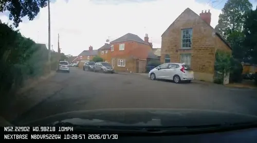
Sun Inn
Bar and pub · 1.9 mi
6 Mill Road, Northampton
Mo-Fr 17:00-23:00; Sa,Su 11:00-23:00
The Carriage @ Kislingbury Sunnies and Spooks
Cafe · Coffee Shop · 1.9 mi
Rothersthorpe Road, Northampton




3 more on the map.
History
The village's name's origin is uncertain: 'Bucca's brook', 'bucks' brook' or 'he-goats' brook'.
The village, named in the Domesday Book of 1086 AD as Buchebroc, is on the Hoarestone Brook, which flows through the village from south to north. The name of the stream is supposed to be a corruption of Horse-stone, as an old packhorse route crossed the brook by a simple slab bridge just outside the village. When the stream was widened in the 1970s the last of the medieval slabs was damaged beyond repair, but the pillars are still intact.
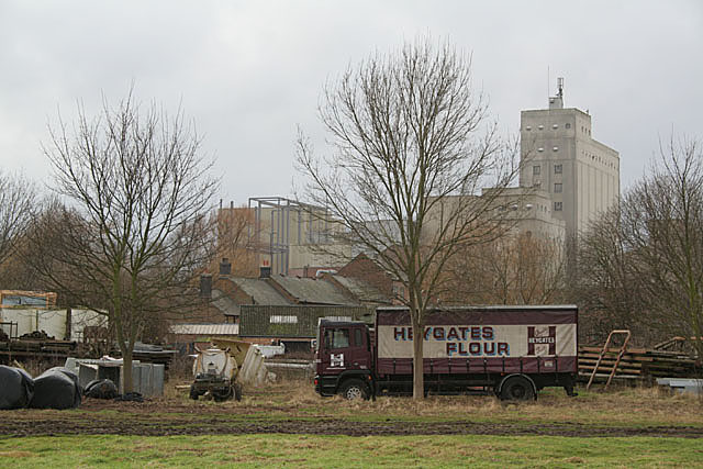
The brook meets the River Nene near Bugbrooke Mill. The first mill on the site was established in 800 AD, and by the time of the Domesday Book it was the third-highest-rated mill in England. It is now the site of Heygate's flour mill, the large central tower of which can be seen for several miles around. Heygate's trucks, with their distinctive maroon markings, can frequently be seen rumbling along Bugbrooke's main road.
From the History section of Bugbrooke on Wikipedia, under CC BY-SA 4.0.
Notable people from Bugbrooke
- Harwood HarrisonBritish politician (1907-1980)
- Arthur Vannassociation football player (1884-1915)
Born in Bugbrooke, according to Wikidata (CC0). Each name links to its Wikipedia article.
Where to stay2
Churches and places of worship9
Gas and EV charging1
Schools, colleges and libraries3
Healthcare1
Map of Bugbrooke
48 places. The map loads OpenStreetMap tiles when you open it.
Getting there and nearby towns
Sywell Aerodrome (ORM) is the nearest airport with scheduled flights listed in OpenStreetMap, 11 miles away.
- Nether Heyford 1 mi northwest, about 2 min by car
- Kislingbury 2 mi northeast, about 3 min by car
- Harpole 2 mi northeast, about 4 min by car
- Flore 3 mi northwest, about 4 min by car
- Weedon Bec 3 mi northwest, about 5 min by car
- Blisworth 4 mi southeast, about 6 min by car
- Northampton 6 mi northeast, about 10 min by car
- Roade 6 mi southeast, about 10 min by car
- Daventry 7 mi northwest, about 11 min by car
- Hartwell 8 mi southeast, about 13 min by car
Drive times are estimates from straight-line distance, not routes.
Towns near Bugbrooke


Keep exploring
Local news
Headlines from INDB.
Reviews, tips and questions
Loading what members have shared...
Sources and licences
- GeoNames (CC BY 4.0): population, coordinates, regions and time zone
- Mapillary (see each image): photos
- OpenStreetMap contributors (ODbL 1.0): places, airports, map data
- Wikidata (CC0 1.0): elevation, founding date, time zone, website, landmarks and historic places
- Wikimedia Commons (see each image): photos
- Wikipedia (CC BY-SA 4.0): overview and history text
Photo credits
- Bugbrooke-Mill-from-the-East-by-Alan-Murray-Rust, Alan Murray-Rust, CC BY-SA 2.0
- Stephenson Bridge Blisworth England, Cj1340 at English Wikipedia, CC BY-SA 3.0
- Duston Mill Meadow 1, Dudley Miles, CC BY-SA 4.0
- Bugbrooke Meadow nature reserve 2, Dudley Miles, CC BY-SA 4.0
- Nether-Heyford-church-by-Ian-Rob, Ian Rob, CC BY-SA 2.0
- Pattishall Church, Gammock, CC BY-SA 4.0
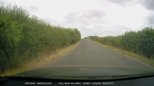
- Street-level photo, OpenFaceMapper, CC BY-SA 4.0
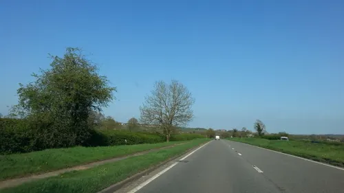
- Street-level photo, OpenFaceMapper, CC BY-SA 4.0
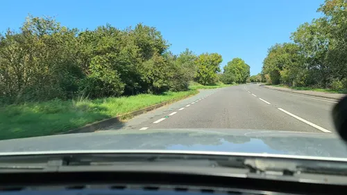
- Street-level photo, OpenFaceMapper, CC BY-SA 4.0
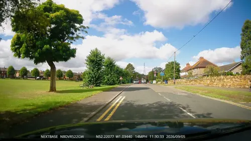
- Street-level photo, OpenFaceMapper, CC BY-SA 4.0
- Street-level photo, OpenFaceMapper, CC BY-SA 4.0
- Street-level photo, OpenFaceMapper, CC BY-SA 4.0
- Street-level photo, OpenFaceMapper, CC BY-SA 4.0
- Street-level photo, OpenFaceMapper, CC BY-SA 4.0
- Street-level photo, OpenFaceMapper, CC BY-SA 4.0
- Street-level photo, OpenFaceMapper, CC BY-SA 4.0
- Street-level photo, adam2, CC BY-SA 4.0
- Street-level photo, adam2, CC BY-SA 4.0
- Street-level photo, alexanderar, CC BY-SA 4.0
- Street-level photo, OpenFaceMapper, CC BY-SA 4.0
- Street-level photo, tallguy, CC BY-SA 4.0
Page built November 10, 2026. Spotted a mistake? Tell us or suggest a place.