


Capel le Ferne, United Kingdom
Capel le Ferne is a town of 1,386 people in England, United Kingdom.
Why visit Capel le Ferne
Townapedia lists 15 museums and landmarks, 11 parks and trails, 6 places to eat, 3 places to stay and 3 attractions in and around town.
Highlights include Leas Cliff Hall, Pleasure Gardens Theatre, The Wing and Battle of Britain Memorial, Capel-le-Ferne.
Weather in Capel le Ferne
Forecast from MET Norway (CC BY 4.0). Full forecast
About Capel le Ferne
Capel-le-Ferne is a village and civil parish on the White Cliffs of Dover, near Folkestone in the Dover district, in Kent, England. Its name derives from a medieval French term meaning "chapel in the ferns".
From the Wikipedia article Capel-le-Ferne (this version), under CC BY-SA 4.0.
Things to do3

Leas Cliff Hall
Cinema and theater · 2.5 mi
Theatre and entertainment venue in Folkestone, England
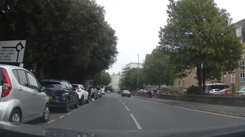
Pleasure Gardens Theatre
Cinema and theater · 2.6 mi
Historic theatre in Folkestone

Trinity House Pilot Station
Monument and historic site · 2.1 mi
Tower in Folkestone, Kent, England
Museums and landmarks15


Battle of Britain Memorial, Capel-le-Ferne
Monument and historic site · 0.4 mi
WWII memorial in Kent, England

Folkestone War Memorial
Monument and historic site · 2.3 mi
War memorial in Folkestone, England

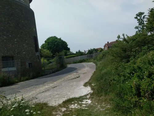

Spirit of the Few Monument
Monument and historic site · 2.6 mi
Battle of Britain memorial in Hawkinge, Kent
Villa rustica of Folkestone
Monument and historic site · 1.2 mi
Roman villa in Kent, England

3 more on the map.
Parks, trails and playgrounds11
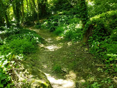
East Cliff and Warren Country Park
Park · 0.4 mi
Park in United Kingdom





Restaurants and cafes6



Where to stay3
Churches and places of worship6
Schools, colleges and libraries5
Map of Capel le Ferne
49 places. The map loads OpenStreetMap tiles when you open it.
Getting there and nearby towns
Lydd Airport (LYX) is the nearest airport with scheduled flights listed in OpenStreetMap, 16 miles away.
- Folkestone 2 mi southwest, about 4 min by car
- Dover 5 mi east, about 7 min by car
- Hythe 6 mi west, about 10 min by car
- Shepherdswell 6 mi north, about 9 min by car
- Barham 7 mi north, about 12 min by car
- Lympne 8 mi west, about 13 min by car
- Bridge 10 mi north, about 17 min by car
- Wingham 12 mi north, about 19 min by car
- Canterbury 13 mi northwest, about 22 min by car
- Ashford 15 mi west, about 24 min by car
Drive times are estimates from straight-line distance, not routes.
Towns near Capel le Ferne


Keep exploring
Local news
Headlines from INDB.
Reviews, tips and questions
Loading what members have shared...
Sources and licences
- GeoNames (CC BY 4.0): population, coordinates, regions and time zone
- Mapillary (see each image): photos
- OpenStreetMap contributors (ODbL 1.0): places, airports, map data
- Wikidata (CC0 1.0): elevation, founding date, time zone, website, landmarks and historic places
- Wikimedia Commons (see each image): photos
- Wikipedia (CC BY-SA 4.0): overview and history text
Photo credits
- Leas Cliff Hall, Nixii9, CC BY-SA 3.0
- Nemo Down 2, Dudley Miles, CC BY-SA 4.0
- Sladden Wood 2, Dudley Miles, CC BY-SA 4.0
- Martello Tower 3 during 2011 Folkestone Triennal, Karol Steele, CC BY-SA 4.0
- Prince of Wales Tower - 2017 (35781219381), Dennis G. Jarvis, CC BY-SA 2.0
- Battle of Britain Memorial Pilot, Detraymond, CC BY-SA 3.0
- Sir Keith Park Bust - National Battle of Britain Memorial, Capel-le-Ferne. 29-7-2021 (51639187053), Alan Wilson from Peterborough, Cambs, UK, CC BY-SA 2.0
- Folkestone War Memorial 01, Edgepedia, CC BY-SA 3.0
- Battle of Britain Memorial 0225, Clem Rutter, Rochester, Kent, CC BY 3.0
- Street-level photo, southglos, CC BY-SA 4.0
- Street-level photo, jkingsleya, CC BY-SA 4.0
- Street-level photo, jkingsleya, CC BY-SA 4.0
- Street-level photo, jkingsleya, CC BY-SA 4.0
- Street-level photo, jkingsleya, CC BY-SA 4.0
- Street-level photo, jkingsleya, CC BY-SA 4.0
Page built November 10, 2026. Spotted a mistake? Tell us or suggest a place.