


Why visit Charvil
Townapedia lists 4 museums and landmarks, 25 parks and trails, 28 places to eat, 1 place to stay and 6 attractions in and around town.
Highlights include The Mill at Sonning, Shiplake Railway Bridge, Hannen Columbarium and Riverside Museum at Blake's Lock.
Weather in Charvil
Forecast from MET Norway (CC BY 4.0). Full forecast
About Charvil
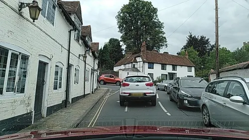
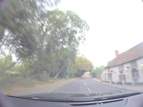
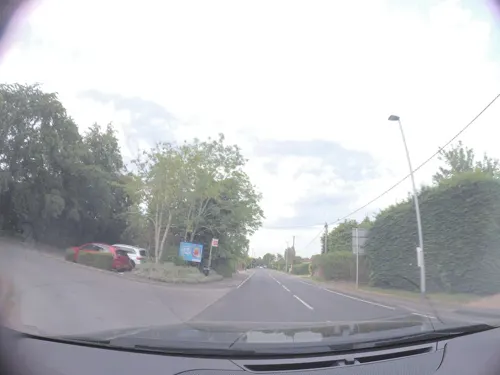
Charvil is a village and civil parish in Berkshire, England. The village is 5 miles from Reading on the A4 road to Maidenhead, between Sonning and Twyford. The 2021 Census recorded the parish's population as 3,158. The area was mostly farmland until the 1950s.
From the Wikipedia article Charvil (this version), under CC BY-SA 4.0.
Things to do6


Sonning Bridge
Bridge · 1.2 mi
Grade II listed deck arch bridge in Sonning Eye, South Oxfordshire, England, UK

Riverways Farm - The Egg Box
Farm and orchard · 0.7 mi
Freerange Eggs, Reindeer Hire
New Bath Road, Reading

Museums and landmarks4

Hannen Columbarium
Monument and historic site · 1.7 mi
Structure in Wargrave, Buckinghamshire, England, UK

Riverside Museum at Blake's Lock
Museum · 3.4 mi
Local museum in Berkshire, England

Museum of Berkshire Aviation
Museum · 1.8 mi
Aircraft museum in Woodley, England

Wargrave War Memorial
Monument and historic site · 1.7 mi
War memorial in Wargrave, Wokingham, Berkshire, England, UK
Parks, trails and playgrounds25


Clayfield Copse and Blackhouse Woods
Park · 3.2 mi
Local nature reserve in Caversham, Reading, UK


Thames Valley Park
Park · 2.2 mi
Business park on the outskirts of Reading in the English county of Berkshire


Dinton Pastures Country Park
Park · 2.1 mi
Park in Berkshire, England

13 more on the map.
Restaurants and cafes28
Binghams Brewery
Brewery and winery · 1.3 mi
Unit 10 Ruscombe Park Estate, Reading
Mo-Th 10:00-18:00; Fr 10:00-19:00; Sa 11:00-17:00

Tacito
Restaurant · Mexican, Brunch, Coffee Shop · 1.1 mi
6 High Street, Sonning
Th-Sa 08:00-22:00; Su 08:00-21:00

16 more on the map.
Where to stay1
Churches and places of worship13
Parish Church of Saint James the great
Church · Anglican · 1.5 mi
Southbury Lane, Ruscombe
The Parish Church of St. John the Evangelist
Church · Anglican · 1.4 mi
Shopping3
Gas and EV charging2
Schools, colleges and libraries13
Polehampton Church of England Infant and Nursery School
School · Anglican · 1.0 mi
Hermitage Drive, Reading
Healthcare2
Map of Charvil
97 places. The map loads OpenStreetMap tiles when you open it.
Getting there and nearby towns
Wycombe Air Park (HYC) is the nearest airport with scheduled flights listed in OpenStreetMap, 10 miles away.
- Sonning 1 mi west, about 2 min by car
- Hurst 2 mi southeast, about 3 min by car
- Reading 4 mi west, about 6 min by car
- Lower Earley 4 mi southwest, about 6 min by car
- Henley-on-Thames 4 mi north, about 6 min by car
- Wokingham 5 mi southeast, about 8 min by car
- Rotherfield Peppard 5 mi northwest, about 9 min by car
- Bracknell 7 mi southeast, about 12 min by car
- Maidenhead 8 mi northeast, about 13 min by car
- Marlow 8 mi northeast, about 13 min by car
Drive times are estimates from straight-line distance, not routes.
Towns near Charvil


Keep exploring
Local news
Headlines from INDB.
Reviews, tips and questions
Loading what members have shared...
Sources and licences
- GeoNames (CC BY 4.0): population, coordinates, regions and time zone
- Mapillary (see each image): photos
- OpenStreetMap contributors (ODbL 1.0): places, airports, map data
- Wikidata (CC0 1.0): elevation, founding date, time zone, website, landmarks and historic places
- Wikimedia Commons (see each image): photos
- Wikipedia (CC BY-SA 4.0): overview and history text
Photo credits
- Milestone, Old Bath Road, Charvil, Berkshire 02, Mertbiol, CC0
- Milestone, Old Bath Road, Charvil, Berkshire 01, Mertbiol, CC0
- ShiplakeRlyBr01, Motmit, CC BY-SA 3.0
- The French Horn from Sonning Backwater Bridge, Jpbowen, CC BY-SA 3.0
- SonningBridge01, Motmit, CC BY-SA 3.0
- Hannen Columbarium, Shanghai88, CC BY-SA 3.0
- Riverside Museum at Blake's Lock, Juan J. Martínez from Exeter, UK, CC BY-SA 2.0
- Alder Moors (7), Dudley Miles, CC BY-SA 4.0
- Ali's Pond Local Nature Reserve, Alidriver, CC BY-SA 4.0
- Pig Sculpture from fallen tree - Clayfield Copse, Nathan Harvey, CC BY-SA 4.0
- King's Meadow, Reading, Ben Sutherland from Forest Hill, London, European Union, CC BY 2.0
- The Duck and the World, Nathan Harvey, CC BY-SA 4.0
- Palmer Park, Reading, Andrew Smith, CC BY-SA 2.0
- Oracle at Thames Valley Park, don cload., CC BY-SA 2.0
- MillSonning, Mariegriffiths, CC BY-SA 4.0
- Street-level photo, laye, CC BY-SA 4.0
- Street-level photo, laye, CC BY-SA 4.0
- Street-level photo, laye, CC BY-SA 4.0
- Street-level photo, kravietz, CC BY-SA 4.0
- Street-level photo, southglos, CC BY-SA 4.0
- Street-level photo, 4004, CC BY-SA 4.0
- Street-level photo, kravietz, CC BY-SA 4.0
- Street-level photo, 4004, CC BY-SA 4.0
- Street-level photo, kravietz, CC BY-SA 4.0
- Street-level photo, kravietz, CC BY-SA 4.0
- Street-level photo, laye, CC BY-SA 4.0
- Street-level photo, 4004, CC BY-SA 4.0
- Street-level photo, 4004, CC BY-SA 4.0
- Street-level photo, sk53, CC BY-SA 4.0
Page built November 10, 2026. Spotted a mistake? Tell us or suggest a place.