


Why visit Hurst
Townapedia lists 4 museums and landmarks, 16 parks and trails, 25 places to eat and 4 attractions in and around town.
Highlights include Shiplake Railway Bridge, Sonning Backwater Bridges, Hannen Columbarium and The Museum Of Berkshire Aviation.
Weather in Hurst
Forecast from MET Norway (CC BY 4.0). Full forecast
About Hurst
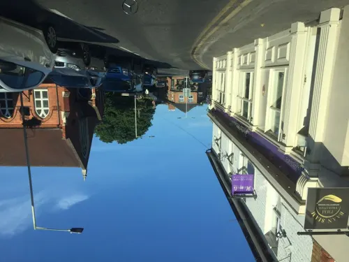
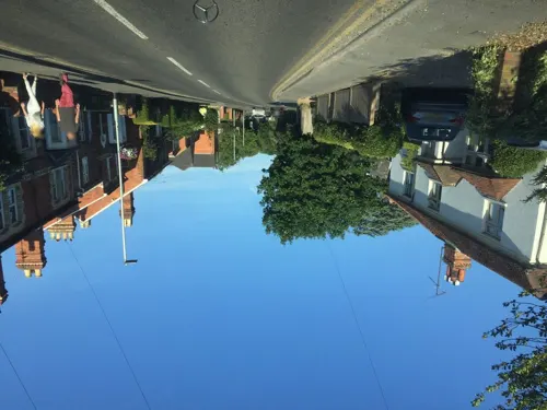
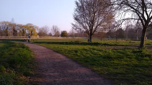
Hurst is a village in the civil parish of St Nicholas Hurst in the Borough of Wokingham, Berkshire, England. The village lies between Twyford and Wokingham, about 1.5 miles (2.4 km) north of the M4 motorway.
From the Wikipedia article Hurst, Berkshire (this version), under CC BY-SA 4.0.
Photos of Hurst

Things to do4


Sonning Bridge
Bridge · 2.9 mi
Grade II listed deck arch bridge in Sonning Eye, South Oxfordshire, England, UK

Museums and landmarks4

Hannen Columbarium
Monument and historic site · 3.0 mi
Structure in Wargrave, Buckinghamshire, England, UK

The Museum Of Berkshire Aviation
Museum · 1.4 mi
Mohawk Way, Woodley
Apr-Oct: We, Sa-Su 10:30-17:00;Apr-Oct: We 10:30-17:00;Apr-Oct: Su...
Museum of Berkshire Aviation
Museum · 1.5 mi
Aircraft museum in Woodley, England

Wargrave War Memorial
Monument and historic site · 3.0 mi
War memorial in Wargrave, Wokingham, Berkshire, England, UK
Parks, trails and playgrounds16




Holt Copse & Joel Park
Park · 2.8 mi
Local Nature Reserve in Berkshire, England

4 more on the map.
Restaurants and cafes25
Binghams Brewery
Brewery and winery · 1.5 mi
Unit 10 Ruscombe Park Estate, Reading
Mo-Th 10:00-18:00; Fr 10:00-19:00; Sa 11:00-17:00
The Dragonfly Cafe
Cafe · Breakfast, Cafe, Cake · 1.5 mi
Davis Street, Hirst
Mo-Su,PH 08:30+; Dec 25 off
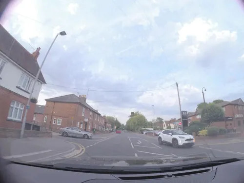


13 more on the map.
More about Hurst
Geography
The parish of St Nicholas Hurst is about 4 miles (6.4 km) north of Wokingham and 2 miles (3 km) south of Twyford in the county of Berkshire. It covers about 2.5 square miles (6.5 km2) and is the largest civil parish in the Borough of Wokingham. The village is on the A321 Twyford – Wokingham road. There are a number of other smaller areas of sporadic development, the main ones being along Davis Street on the B3030 Twyford – Winnersh road, along the B3034 Forest Road, from Bill Hill to Binfield and on Broadcommon Road.
The River Loddon flows north along the western side of the parish and a substantial proportion of the parish lies within the alluvial flood plain of this river and its tributaries. The most important exceptions to this are Church Hill just to the west of the village centre, and Ashridge to the south-east. The M4 motorway crosses the southern half of the parish but does not have any direct access within the parish. The A329(M) forms the south-west boundary, separating Hurst from Wokingham and Winnersh. The main London to Bristol railway line runs along the northern boundary, and Twyford station in the neighbouring parish of Twyford serves Hurst. Dinton Pastures Country Park is a country park within Hurst.
Education
St Nicholas' Church of England Primary School is a voluntary controlled primary school in the village which educates children aged 5–11. The school was built in 1843. The primary school shares a breakfast club with St. Nicholas Pre-school playgroup, a registered charity and member of the Pre-school Learning Alliance, which is open to all students and children of the playgroup. Dolphin School is a coeducational, independent preparatory day school and nursery school for children between the ages of 3 and 13.
From the Wikipedia article Hurst, Berkshire, under CC BY-SA 4.0.
Notable people from Hurst
 John Vere HopgoodBritish Royal Air Force pilot (1921–1943)Photo: Hopgood family member (deceased), Public domain
- George Spencer-Churchill, 8th Duke of MarlboroughBritish peer (1844-1892)
Born in Hurst, according to Wikidata (CC0). Each name links to its Wikipedia article.
Churches and places of worship8
Parish Church of Saint James the great
Church · Anglican · 1.5 mi
Southbury Lane, Ruscombe
Shopping3
Schools, colleges and libraries5
Healthcare2
Map of Hurst
67 places. The map loads OpenStreetMap tiles when you open it.
Getting there and nearby towns
Blackbushe Airport (BBS) is the nearest airport with scheduled flights listed in OpenStreetMap, 9 miles away.
- Wokingham 3 mi south, about 5 min by car
- Sonning 3 mi northwest, about 5 min by car
- Lower Earley 4 mi southwest, about 6 min by car
- Reading 5 mi west, about 8 min by car
- Bracknell 5 mi southeast, about 9 min by car
- Henley-on-Thames 6 mi north, about 9 min by car
- Crowthorne 7 mi southeast, about 11 min by car
- Maidenhead 7 mi northeast, about 12 min by car
- Finchampstead 7 mi south, about 11 min by car
- Yateley 8 mi south, about 13 min by car
Drive times are estimates from straight-line distance, not routes.
Towns near Hurst


Keep exploring
Local news
Headlines from INDB.
Reviews, tips and questions
Loading what members have shared...
Sources and licences
- GeoNames (CC BY 4.0): population, coordinates, regions and time zone
- Mapillary (see each image): photos
- OpenStreetMap contributors (ODbL 1.0): places, airports, map data
- Wikidata (CC0 1.0): elevation, founding date, time zone, website, landmarks and historic places
- Wikimedia Commons (see each image): photos
- Wikipedia (CC BY-SA 4.0): overview and history text
Photo credits
- ShiplakeRlyBr01, Motmit, CC BY-SA 3.0
- The French Horn from Sonning Backwater Bridge, Jpbowen, CC BY-SA 3.0
- SonningBridge01, Motmit, CC BY-SA 3.0
- Hannen Columbarium, Shanghai88, CC BY-SA 3.0
- Alder Moors (7), Dudley Miles, CC BY-SA 4.0
- Ali's Pond Local Nature Reserve, Alidriver, CC BY-SA 4.0
- The Duck and the World, Nathan Harvey, CC BY-SA 4.0
- Cygnet Gin 2023, Annabelanisfeld, CC BY-SA 4.0
- Street-level photo, laye, CC BY-SA 4.0
- Street-level photo, laye, CC BY-SA 4.0
- Street-level photo, laye, CC BY-SA 4.0
- Street-level photo, southglos, CC BY-SA 4.0
- Street-level photo, stuarth, CC BY-SA 4.0
- Street-level photo, 4004, CC BY-SA 4.0
- Street-level photo, 4004, CC BY-SA 4.0
- Street-level photo, stuarth, CC BY-SA 4.0
- Street-level photo, sk53, CC BY-SA 4.0
- Street-level photo, laye, CC BY-SA 4.0
- Street-level photo, 4004, CC BY-SA 4.0
- Street-level photo, 4004, CC BY-SA 4.0
- Street-level photo, 4004, CC BY-SA 4.0
- Street-level photo, 4004, CC BY-SA 4.0
- Street-level photo, richardc, CC BY-SA 4.0
- Street-level photo, laye, CC BY-SA 4.0
- Street-level photo, 4004, CC BY-SA 4.0
- Street-level photo, 4004, CC BY-SA 4.0
Page built November 10, 2026. Spotted a mistake? Tell us or suggest a place.