
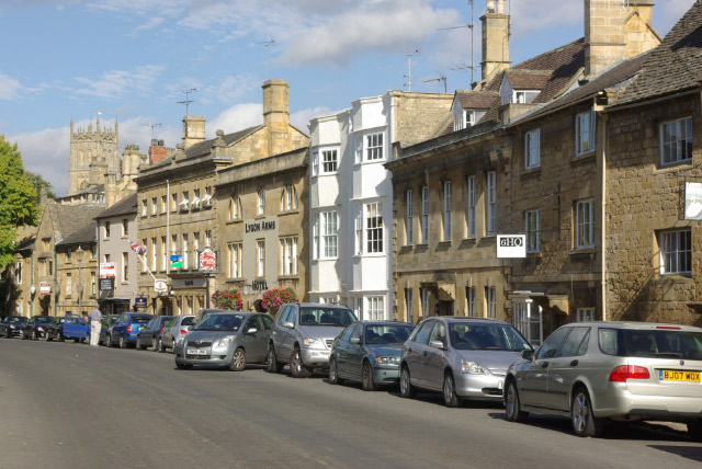


Chipping Campden, United Kingdom
Chipping Campden is a town of 2,288 people in England, United Kingdom.
Why visit Chipping Campden
Townapedia lists 15 museums and landmarks, 1 park or trail, 15 places to eat, 6 places to stay and 2 attractions in and around town.
Highlights include Dover's Hill, Cidermill Theatre, Court House and Chipping Campden Market Hall.
Weather in Chipping Campden
Forecast from MET Norway (CC BY 4.0). Full forecast
About Chipping Campden
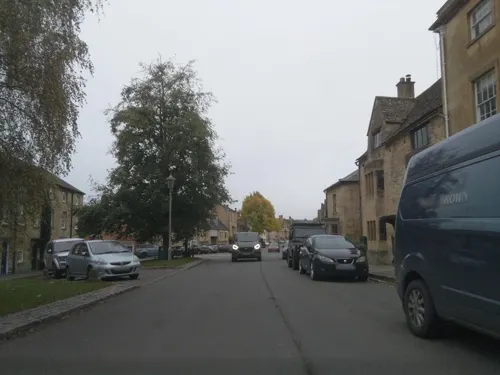
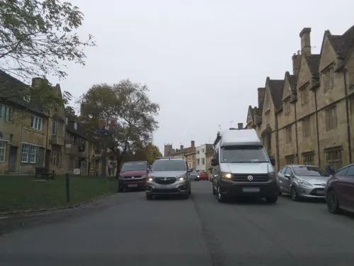
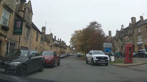
Chipping Campden is a market town in the Cotswold district of Gloucestershire, England. It is notable for its terraced High Street, dating from the 14th to the 17th centuries.
From the Wikipedia article Chipping Campden (this version), under CC BY-SA 4.0.
Travel tips from other travellers: Chipping Campden on Wikivoyage (CC BY-SA 4.0).
Things to do2


Museums and landmarks15

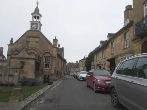


Campden House, formal Garden and associated Medieval cultivation earthworks.
Monument and historic site
3 more on the map.
Parks, trails and playgrounds1

Restaurants and cafes15
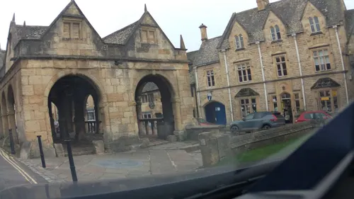
Bistro on the Square
Restaurant · Regional, Italian, Sandwich, Coffee Shop
High Street, Chipping Campden
Mo-Su 09:00-21:00
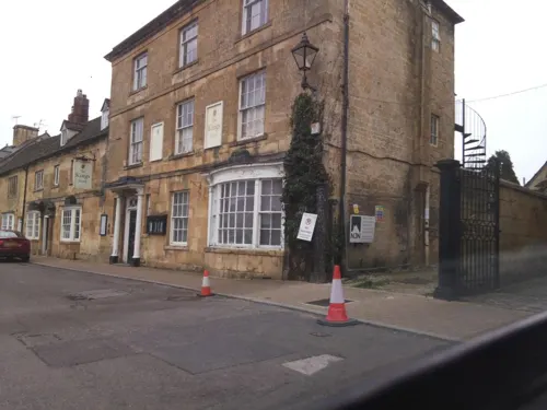
Fig
Restaurant · Regional
Fine dining dinner Tuesday to Saturday Afternoon Tea 7 days
High Street, Chipping Campden
Tu-Sa 19:00+
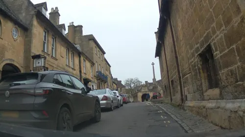
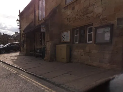




3 more on the map.
History
The name Chipping derives from Old English cēping, meaning 'market' or 'market-place'; the same element is found in other towns such as Chipping Norton, Chipping Sodbury and Chipping (now High) Wycombe.
One of the oldest buildings in the town is the Grade I listed Market Hall, built by Sir Baptist Hicks in 1627 and is still in use. The building was intended as a shelter for merchants and farmers selling their wares, with the arched side walls open to allow light and customers to enter. There was a plan to sell the hall in the 1940s, but locals raised funds to purchase the property and donated it to the National Trust.
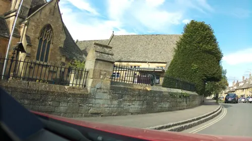
The grand early perpendicular Cotswold wool church, Church of St James, with its medieval altar frontals (c. 1500), cope (c. 1400) and 17th century monuments, includes a monument to silk merchant Sir Baptist Hicks and his family. The Grade I listed church also includes a plaque to William Grevel, described as "the flower of the wool merchants of all England". His home, the Grade I listed Grevel's House, was built c. 1380; it is not open to visitors.
Read more of the history
The Grade I listed almshouses on Church Street were built in 1612, provided by Sir Baptist Hicks as homes for 12 pensioners and still remains in use for that purpose. The Grade II listed Old Silk Mill in Sheep Street is a three-storey building, originally used as a mill for spinning of silk thread; it closed in 1860 and became a silk throwing mill. In 1902, the building was converted into the headquarters for the Guild of Handicraft. The Court Barn near the church is now a museum celebrating the Arts and Crafts tradition of the area.
Hicks was also the owner of Campden House, on land he purchased some time after 1608; he added the manor and gained the title 1st Viscount Campden. The manor was destroyed by Royalists in 1645 during the English Civil War, possibly to prevent it falling into the hands of the Parliamentarians. There is little reliable evidence as to the appearance of the manor and gardens. Any drawings of the house were made long after it had been destroyed. All that now remains of Sir Baptist Hicks' once imposing estate are a gatehouse and two Jacobean banqueting houses; the latter were restored by the Landmark Trust.
Lady Juliana Noel, Sir Baptist's daughter, and her family lived at the converted stables near the site in Calf Lane, now called The Court House. Her descendant still lives in that Grade II listed building.
In 1970, the High Street and much of the town centre was designated a conservation area to preserve the architecture.
There are two historic gardens nearby: the Arts and Crafts Hidcote Manor Garden, owned and managed by the National Trust, and another at nearby Mickleton, Kiftsgate; this site is privately owned, but open to the public. Two miles to the west, in the grounds of Weston Park near Saintbury, are the earthwork remains of a motte-and-bailey castle.
From the History section of Chipping Campden on Wikipedia, under CC BY-SA 4.0.
Notable people from Chipping Campden
 Matthew GotrelBritish athletePhoto: Gregor Rom, CC BY-SA 4.0
 Robert Payne SmithDean of Canterbury (1818–1895)Photo: John Cochran, Public domain
- Frederick MerrimanBritish tug of war competitor (1873–1940)
- George BallardBritish writer
- Jane Felicity Ashbee
- Louise Bond-WilliamsBritish sabre fencer
- Joanne AtkinsonBritish swimmer
Born in Chipping Campden, according to Wikidata (CC0). Each name links to its Wikipedia article.
Where to stay6
Churches and places of worship11
Shopping7
Schools, colleges and libraries3
Map of Chipping Campden
60 places. The map loads OpenStreetMap tiles when you open it.
Getting there and nearby towns
Gloucestershire Airport (GLO) is the nearest airport with scheduled flights listed in OpenStreetMap, 20 miles away.
- Blockley 3 mi south, about 4 min by car
- Honeybourne 4 mi northwest, about 6 min by car
- South Littleton 7 mi northwest, about 11 min by car
- Evesham 8 mi west, about 13 min by car
- Stow on the Wold 9 mi south, about 14 min by car
- Harvington 9 mi northwest, about 14 min by car
- Ettington 9 mi northeast, about 15 min by car
- Stratford-upon-Avon 10 mi north, about 16 min by car
- Lower Brailes 10 mi east, about 16 min by car
- Wilmcote 12 mi north, about 19 min by car
Drive times are estimates from straight-line distance, not routes.
Towns near Chipping Campden


Keep exploring
Local news
Headlines from INDB.
Reviews, tips and questions
Loading what members have shared...
Sources and licences
- GeoNames (CC BY 4.0): population, coordinates, regions and time zone
- Mapillary (see each image): photos
- OpenStreetMap contributors (ODbL 1.0): places, airports, map data
- Wikidata (CC0 1.0): elevation, founding date, time zone, website, landmarks and historic places
- Wikimedia Commons (see each image): photos
- Wikipedia (CC BY-SA 4.0): overview and history text
Photo credits
- Chipping CampdenHighSt, Stephen McKay, CC BY-SA 2.0
- Chipping Campden 2013 WC, Weefemwe, CC BY-SA 3.0
- Chipping Campden Market Hall, John Sparshatt, CC BY-SA 2.0
- Ebringtonchurch, Jennifer Luther Thomas, CC BY-SA 2.0
- Mickleton church 03, Traumrune, CC BY-SA 3.0
- St Peter and St Paul, Blockley, DeFacto, CC BY-SA 4.0
- East Banqueting StJames Chipping Campden, Saffron Blaze, CC BY-SA 3.0
- The Court House, Chipping Campden, Asteuartw, CC BY-SA 4.0
- St Michael and All Angels, Broad Campden, DeFacto, CC BY-SA 4.0
- Dover's Hill, near Chipping Campden, mrpb27 (Ken), CC BY 2.0
- Street-level photo, southglos, CC BY-SA 4.0
- Street-level photo, southglos, CC BY-SA 4.0
- Street-level photo, southglos, CC BY-SA 4.0
- Street-level photo, southglos, CC BY-SA 4.0
- Street-level photo, southglos, CC BY-SA 4.0
- Street-level photo, southglos, CC BY-SA 4.0
- Street-level photo, southglos, CC BY-SA 4.0
- Street-level photo, southglos, CC BY-SA 4.0
- Street-level photo, southglos, CC BY-SA 4.0
- Street-level photo, southglos, CC BY-SA 4.0
- Street-level photo, southglos, CC BY-SA 4.0
- Street-level photo, southglos, CC BY-SA 4.0
- Street-level photo, southglos, CC BY-SA 4.0
- Street-level photo, southglos, CC BY-SA 4.0
- Street-level photo, southglos, CC BY-SA 4.0
- Street-level photo, southglos, CC BY-SA 4.0


Page built November 10, 2026. Spotted a mistake? Tell us or suggest a place.