


Why visit Wilmcote
Townapedia lists 9 museums and landmarks, 2 parks and trails, 4 places to eat, 6 places to stay and 8 attractions in and around town.
Highlights include Clopton Bridge, Courtyard Theatre, Anne Hathaway's Cottage and Gower Monument.
Weather in Wilmcote
Forecast from MET Norway (CC BY 4.0). Full forecast
About Wilmcote
Wilmcote is a village, and since 2004 a separate civil parish, in the English county of Warwickshire, about 3 miles (5 km) north of Stratford-upon-Avon. Prior to 2004, it was part of the same parish as Aston Cantlow, and the 2001 population for the whole area was 1,670, reducing to 1,229 at the 2011 Census.
From the Wikipedia article Wilmcote (this version), under CC BY-SA 4.0.
Photos of Wilmcote


Things to do8

Clopton Bridge
Bridge · 3.4 mi
Bridge in Stratford-upon-Avon, Warwickshire, England

Courtyard Theatre
Cinema and theater · 3.3 mi
Former theatre in Stratford-upon-Avon, England

Old Tramway Bridge
Bridge · 3.4 mi
Bridge in Stratford-upon-Avon, Stratford-on-Avon, Warwickshire, England, UK

Royal Shakespeare Theatre
Cinema and theater · 3.3 mi
Theatre building in Stratford-upon-Avon, England

Stratford Butterfly Farm
Zoo and aquarium · 3.5 mi
UK visitor attraction

Swan Theatre
Cinema and theater · 3.3 mi
Theatre in Stratford-upon-Avon, England
The Other Place
Cinema and theater · 3.3 mi
Theatre in Stratford-upon-Avon, England

Waterside Theatre
Cinema and theater · 3.3 mi
Theatre in Stratford-upon-Avon, England, formerly independent, later used as Waterside Space by the Royal Shakespeare Theatre, now used...
Museums and landmarks9

Anne Hathaway's Cottage
Museum · 2.5 mi
House museum, associated with William Shakespeare in Stratford-upon-Avon, Stratford-on-Avon, Warwickshire, England, UK

Gower Monument
Monument and historic site · 3.3 mi
Monument in Stratford-upon-Avon, United Kingdom

Shakespeare's Birthplace
Museum · 3.1 mi
Grade I listed birth house in Stratford-upon-Avon, United Kingdom
Shakespeare's funerary monument
Monument and historic site · 3.4 mi
Monument in Stratford-upon-Avon

Shakespeare's New Place
Museum · 3.2 mi
Former building in Stratford-upon-Avon, Warwickshire, United Kingdom


Parks, trails and playgrounds2

Mary Arden's Farm
Park
Farmhouse and museum in Wilmcote, Warwickshire, United Kingdom, associated with William Shakespeare

Restaurants and cafes4

History
Wilmcote, listed as Wilmecote in the Domesday Book, is part of the lands of Osbern fitzRichard, whose father was Richard Scrob, builder of Richard's Castle. The entry reads: "In Pathlow Hundred. Also from Osbern, Urso hold 3 hides in Wilmcote. Land for 4 ploughs. In lordship 2; 2 slaves; 2 villagers and 2 smallholders with 2 ploughs. Meadow, 24 acres. The value was 30s; now 60s;. Leofwin Doda held it freely before 1066."
By 1205, according to Dugdale, it was held by Brito Camerarius, Chamberlain of Normandy and in that year was seized by King John, together with the other English lands of Normans for adhering to the King of France, Phillip II. In 1228 William de Wilmecote was claiming the advowson of the chapel here against the Archdeacon of Gloucester. In 1316 Wilmcote is called a hamlet of Aston Cantlow, and Laurence Hastings, who succeeded as Earl of Pembroke in 1325, is said to have given the manor of GREAT WILMCOTE to John son of John de Wyncote. During the Black Death (1348–9) Sir John, Eleanor and Joan, and three of the daughters died; and the last of the daughters, Elizabeth, whose wardship had come to the Crown as guardian of the young Earl of Pembroke, died in 1350.
Read more of the history
No more is known of the manor until 1561, when an estate described as the manor of Great Wilmcote, including Mary Arden's house and land in Shelfield, was granted by Thomas Fynderne of Nuneaton to Adam Palmer of Aston Cantlow and George Gibbs of Wilmcote. Palmer and Gibbs held jointly until 1575, when a partition was made. The descent of Palmer's portion is not known, but Gibbs's, which included Mary Arden's house, remained in the family until another George Gibbs sold it to Matthew Walford of Claverdon in 1704. Walford's son and heir, also Matthew, married Elizabeth Jones and died in 1729, leaving his estates to be held jointly by his five daughters. Whatever manorial rights may have attached to this property had by now disappeared. At the time of the Inclosure in 1742–3 the manor of Wilmcote was included in that of Aston Cantlow, and Elizabeth Walford, widow, appears in the Award only as the proprietor of 5-yard-lands in the common field.
From the History section of Wilmcote on Wikipedia, under CC BY-SA 4.0.
More about Wilmcote
Economy
Wilmcote contains areas of good limestone, and a significant quarrying industry grew up in the eighteenth and nineteenth centuries, particularly after the opening of the Stratford-upon-Avon Canal in 1816 which was routed through Wilmcote because of its quarries. Today the area has many small disused quarries, mostly filled in, and just-visible paths of tramways linking them to the canal. A larger quarry, which has not been filled in, is now a nature reserve. There are remains of lime kilns, built to turn the limestone into cement.
Wilmcote stone splits well into sheets and was used for paving as well as for building. It was used for paving the floors in the United Kingdom Houses of Parliament when these were rebuilt in the nineteenth century.
The last of the quarries closed in the early twentieth century, but they have left a great legacy for the village. There are several rows of former quarry workers cottages, built in Wilmcote stone, and a former pub which was known as the Masons' Arms. The quarries were among the reasons why the canal and railway were routed through Wilmcote. The first Wilmcote railway station opened in 1860, on a site alongside the canal wharves; it was replaced by the present station when the line was doubled in 1908.
Education
Situated in Church Road is Wilmcote Church of England (Voluntary Aided) Primary School, which educates 80 children from the age of 4 to 11.
From the Wikipedia article Wilmcote, under CC BY-SA 4.0.
Where to stay6
Holly Tree Cottage B&B
Motel and hotel · 1.2 mi
Birmingham Road, Stratford upon Avon
Churches and places of worship9
Shopping1
Gas and EV charging1
Schools, colleges and libraries3
Map of Wilmcote
43 places. The map loads OpenStreetMap tiles when you open it.
Getting there and nearby towns
Birmingham Airport (BHX) is the nearest airport with scheduled flights listed in OpenStreetMap, 16 miles away.
- Stratford-upon-Avon 3 mi southeast, about 5 min by car
- Warwick 9 mi northeast, about 14 min by car
- Ettington 9 mi southeast, about 14 min by car
- Redditch 10 mi northwest, about 16 min by car
- Leek Wootton 10 mi northeast, about 17 min by car
- Royal Leamington Spa 11 mi northeast, about 18 min by car
- Knowle 11 mi north, about 18 min by car
- Evesham 12 mi southwest, about 19 min by car
- Kenilworth 12 mi northeast, about 19 min by car
- Solihull 13 mi north, about 22 min by car
Drive times are estimates from straight-line distance, not routes.
Towns near Wilmcote


Keep exploring
Local news
Headlines from INDB.
Reviews, tips and questions
Loading what members have shared...
Sources and licences
- GeoNames (CC BY 4.0): population, coordinates, regions and time zone
- Mapillary (see each image): photos
- OpenStreetMap contributors (ODbL 1.0): places, airports, map data
- Wikidata (CC0 1.0): elevation, founding date, time zone, website, landmarks and historic places
- Wikimedia Commons (see each image): photos
- Wikipedia (CC BY-SA 4.0): overview and history text
Photo credits
- Mary Ardens House -Wilmcote3, Kev747 at English Wikipedia, CC BY-SA 3.0
- Mary Arden's House Farm - Wilmcote - Farmbuildings - panoramic (8442821696), Elliott Brown from Birmingham, United Kingdom, CC BY 2.0
- Mary Arden's House Farm - Wilmcote - Farmbuildings (8441729609), Elliott Brown from Birmingham, United Kingdom, CC BY 2.0
- Mary Arden's House Farm - Wilmcote - Farmbuildings (8442816068), Elliott Brown from Birmingham, United Kingdom, CC BY 2.0
- Mary Arden's House Farm - Wilmcote - Farmbuildings - panoramic (8441723793), Elliott Brown from Birmingham, United Kingdom, CC BY 2.0
- Mary Arden's House Farm - Wilmcote - Glebe Farmhouse (8442805440), Elliott Brown from Birmingham, United Kingdom, CC BY 2.0
- Mary Arden's House Farm - Wilmcote - Glebe Farmhouse (8442798786), Elliott Brown from Birmingham, United Kingdom, CC BY 2.0
- Mary Arden's House Farm - Wilmcote - Palmer's Farmhouse - Dovecote - panoramic (8442424420), Elliott Brown from Birmingham, United Kingdom, CC BY 2.0
- Mary Arden's House Farm - Wilmcote - Palmer's Farmhouse - Dovecote - panoramic (8442448796), Elliott Brown from Birmingham, United Kingdom, CC BY 2.0
- Mary Arden's House Farm - Wilmcote - Palmer's Farmhouse (8441344835), Elliott Brown from Birmingham, United Kingdom, CC BY 2.0
- Mary Arden's House Farm - Wilmcote - Palmer's Farmhouse (8441348597), Elliott Brown from Birmingham, United Kingdom, CC BY 2.0
- Mary Arden's House Farm - Wilmcote - Palmer's Farmhouse - Dovecote (8441332411), Elliott Brown from Birmingham, United Kingdom, CC BY 2.0
- Clopton Bridge, Ken Crosby, CC BY-SA 2.0
- Courtyard Theatre Stratford upon Avon, Oosoom, CC BY-SA 3.0
- Stratford upon Avon - panoramio (16), Tanya Dedyukhina, CC BY 3.0
- Royal Shakespeare Theatre 2011, David Dixon, CC BY-SA 2.0
- Stratford butterfly farm gate 14a07, Snowmanradio, CC BY-SA 3.0
- Swan Theatre, Tony Hisgett, CC BY 2.0
- Anne Hathaways Cottage and gardens 15g2006, Richard Peat, CC BY-SA 2.0
- Gower Monument, Drewphemism, CC BY-SA 4.0
- Birthplace room, Unknown author Unknown author, Public domain
- Knot Garden at New Place -Stratford-upon-Avon, Michelle Walz Eriksson, CC BY 2.0
- Mary Arden's House Farm - Wilmcote - Glebe Farmhouse, Elliott Brown, CC BY 2.0
- Weston-on-Avon 2008, Peter I. Vardy, Public domain
- St Peter's Church, Binton, DeFacto, CC BY-SA 4.0
- Stratford-upon-Avon 2010 PD 05, Bin im Garten, CC BY-SA 3.0
- Holy Trinity Church, Stratford-upon-Avon, DeFacto, CC BY-SA 4.0
- Aston Cantlow St John the Baptist 02, Argrogan, Public domain
- Close-up of the inscription (OpenBenches 1888), Anonymous Unknown author, CC BY-SA 4.0
- View from the bench (OpenBenches 1888-1), Anonymous Unknown author, CC BY-SA 4.0
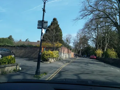
- Street-level photo, laye, CC BY-SA 4.0
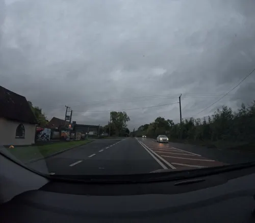
- Street-level photo, editid, CC BY-SA 4.0
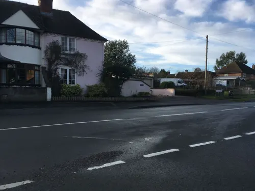
- Street-level photo, laye, CC BY-SA 4.0
- Street-level photo, southglos, CC BY-SA 4.0
- Street-level photo, southglos, CC BY-SA 4.0
- Street-level photo, southglos, CC BY-SA 4.0
- Street-level photo, laye, CC BY-SA 4.0
- Street-level photo, laye, CC BY-SA 4.0
- Street-level photo, laye, CC BY-SA 4.0


Page built November 10, 2026. Spotted a mistake? Tell us or suggest a place.