


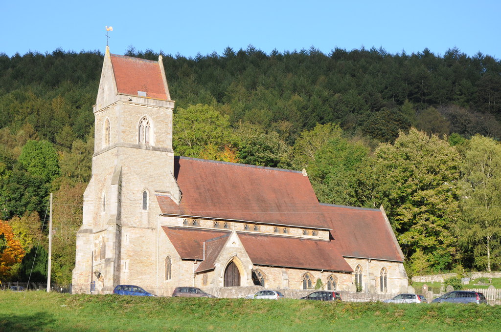
Why visit Coleford
Townapedia lists 8 museums and landmarks, 14 parks and trails, 26 places to eat, 7 places to stay and 5 attractions in and around town.
Highlights include Biblins Bridge, Clearwell Caves, Puzzlewood and Coleford Great Western Railway Museum.
Weather in Coleford
Forecast from MET Norway (CC BY 4.0). Full forecast
About Coleford
Coleford is a market town in the west of the Forest of Dean, Gloucestershire, England, two miles (3 km) east of the Welsh border and close to the Wye Valley. It is the administrative centre of the Forest of Dean district. The combined population of the town's two electoral wards at the 2011 census was 8,359. The population of the town's parish was 9,273 in the 2021 Census.
From the Wikipedia article Coleford, Gloucestershire (this version), under CC BY-SA 4.0.
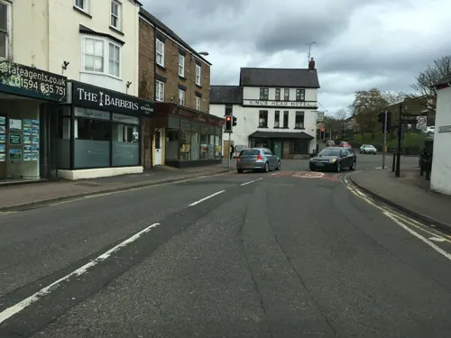
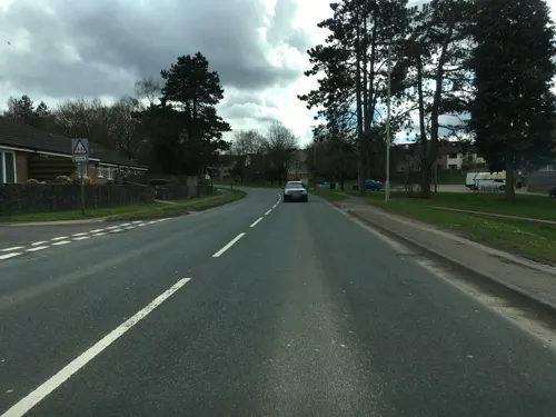
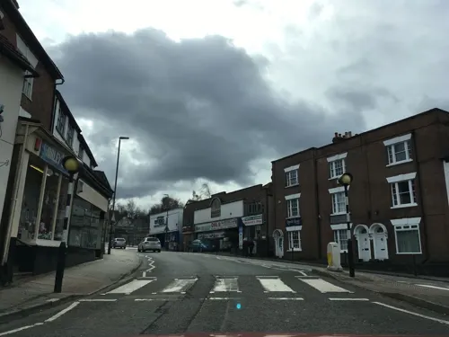
Photos of Coleford

Things to do5

Biblins Bridge
Bridge · 2.8 mi
Bridge in Wye Valley, spanning England and Wales, UK

Clearwell Caves
Monument and historic site · 1.7 mi
Cave system in Clearwell, England

Penallt Viaduct
Bridge · 2.7 mi
Former railway bridge over the River Wye between England and Wales
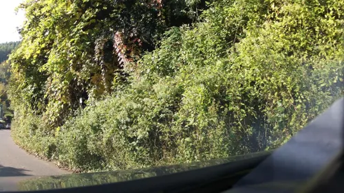
Redbrook Incline Bridge
Bridge · 2.6 mi
Tram bridge crossing the England–Wales border

Museums and landmarks8

Puzzlewood
Monument and historic site · 1.2 mi
Perrygrove Road, Coleford
Jul-Aug 10:00-18:00; Sep-Oct 10:00-17:00; Nov 10:00-16:30


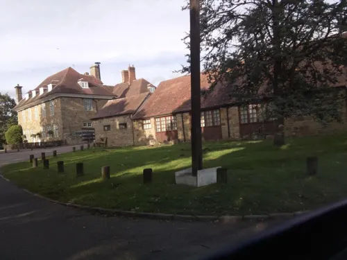



Stow Green
Monument and historic site · 2.9 mi
Castle in St Briavels, Gloucestershire, England, UK
Parks, trails and playgrounds14


Foxes Bridge Bog
Park · 3.4 mi
Nature reserve in Gloucestershire, England, UK



Lady Park Wood National Nature Reserve
Park · 3.0 mi
Fforest and nature park mostly in Monmouthshire, Wales (part in England)


2 more on the map.
Restaurants and cafes26
Sixteen Community Cafe
Cafe
16 Bank Street, Coleford
Tu-Sa 09:00-15:00; Mo 12:00-15:00; Su off
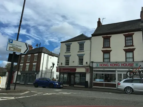

Scoffs
Cafe · Coffee Shop
17 St John Street, Coleford
Mo-Sa 09:00-16:00; Su 10:00-14:00
Forest Holidays
Cafe · English · 1.4 mi
Broom Hill
Tu-Th,Sa-Su 09:00-20:00; Mo,Fr 08:30-20:00

The Dog House
Bar and pub
13 - 15 St John Street, Coleford
We-Fr 17:00-22:00; Tu 17:00-21:00; Sa 12:00-23:00; Su 12:00-21:00

14 more on the map.
History
Coleford was originally a tithing in the north-east corner of Newland parish. The settlement arose at a ford through which charcoal and iron ore were probably carried. By the mid-14th century, hamlets called Coleford and Whitecliff had grown up in the valley of Thurstan's Brook. Coleford had eight or more houses in 1349 and was described as a street in 1364. It had a place of worship by 1489. In 1642 the commander of a parliamentary garrison in Coleford started a market in the town, as the nearest chartered market in Monmouth was under royalist control.
Read more of the history
Coleford soon saw some action in the English Civil War. On 20 February 1643, Lord Herbert, the Earl of Worcester's eldest son and the King's Lieutenant-General of South Wales, marched through Coleford heading for Gloucester, at the head of an army of 500 horse and 1500 foot. At Coleford their progress was impeded by a troop of Parliamentarians under Colonel Berrowe, aided by a disorderly group of country people. A skirmish ensued, in which the market-house was burnt and Major-General Lawday, who commanded the foot, and two other officers were shot dead from a window. Colonel Brett was then put in command of the foot, Lord John Somerset continuing at the head of the horse. The Royalists forced a passage through, after capturing Lieutenant-Colonel Winter, together with some other officers and soldiers, and so putting the Parliamentarians to flight. They then marched unimpeded to Gloucester.
After the Restoration, a market was granted in 1661 and a new market house built in 1679. Much building took place in the town, which was thought by 1710 to have 160 houses. Of the older surviving buildings in the market place, the Old White Hart Inn dates from the 17th century. In the late 18th century and early 19th, the town expanded along its other streets and most of its older houses were rebuilt. The Angel Inn, which had opened by the 1650s, was re-fronted or rebuilt around 1800. For many years it housed an excise office. In the mid-18th century it was the town's principal coaching inn and used for public meetings and assemblies. The number of public houses increased as the town grew in importance. By 1830 there were seven or eight, most of them in the market place, and also a larger number of beerhouses.
The market house (or town hall) was rebuilt on a larger scale in 1866. Also in the market place was the church, which was rebuilt on an octagonal plan in 1820, but proved too small for the growing congregation and was pulled down in 1882, its tower being retained for a clock tower. A much larger church, St John the Evangelist's, was built on a hillside overlooking the town. This church was closed in 2016 and its building put up for sale. Expansion continued in piecemeal fashion throughout the 20th century, through both council and private development. Traffic congestion in the market place was eased by demolition of the town hall in 1968 and the introduction of a gyro system around the clock tower.
Iron production in Coleford dates back to the Middle Ages. This produced large quantities of waste material or cinders. Some formed prominent mounds, which by the late 17th century were reworked to provide iron ore for the furnaces, which had become more efficient by then. The medieval ironworks were moveable forges operating on the royal demesne woodland of the Forest of Dean. An ore smithy or furnace was operating at Whitecliff in 1361, and the hamlet had several in the 15th and 16th centuries. In the later Middle Ages, iron was also worked in Coleford town, where there was a furnace next to the chapel in 1539.
There was coalmining to the north and east of Coleford from the 16th century. Limestone was also quarried at the south-west end of Whitecliff before the 17th century. Lime kilns operated at Whitecliff, and Scowles, which supplied much lime to Monmouthshire.
In 1798, work began on Whitecliff Ironworks on the south-western edge of Coleford. The furnace there probably began firing in 1801 or 1802, and a second one beside it before 1808. The output was limited by the quality of coke required. In 1809 David Mushet, a noted metallurgist, was employed to increase productivity, but the works remained unprofitable and Mushet withdrew from the venture after a few months. The furnaces were abandoned several years later, perhaps by 1812 and certainly by 1816. The surviving ruins can be viewed by the public.
Coleford was on the route of a tramway that opened in 1812 to link mines in the Forest with the River Wye at Redbrook and Monmouth. This continued in use until its track east of Coleford was lifted in the late 1870s.
The first railway to reach Coleford, a branch line from Parkend, was opened by the Severn and Wye Railway Company in 1875. It ran through Milkwall to a station on the south-east side of the town. A second railway, the Coleford Railway from Monmouth, used parts of the old tramway route and was completed in 1883. It included a short tunnel at Whitecliff and crossed the Newland road to reach a station next to that of the Severn & Wye Co. A junction was made between the two railways in 1884, after the Monmouth line was taken over by the Great Western Railway. The Severn and Wye line ceased passenger services in 1929. And was then closed in 1967. The track between Whitecliff and Parkend was removed by 1971. Some railway buildings at Coleford, including a goods shed, were incorporated in the Coleford Great Western Railway Museum that opened in 1988.
The nearest railway station today is Lydney (8 miles, 13 km).
The Anglican Holy Trinity Church near the centre of Coleford was built in 1831. It has services on Sunday and Wednesday. Coleford Baptist Church has a Sunday service, as does the town's Pentecostal Church. Both have Facebook pages.
From the History section of Coleford, Gloucestershire on Wikipedia, under CC BY-SA 4.0.
Notable people from Coleford
 Mary HowittEnglish poet, and author, editor (1799-1888)Photo: not stated, Public domain
 Jim WebbEnglish-Welsh rugby union and rugby league footballerPhoto: Walter Alfred Pearce, Public domain
 Sarah JonesBritish saxophonist, visual artistPhoto: Wiggon, CC BY 4.0
- Bob AdamsEnglish footballer (1917-1970)
- Mary Emily EatonBritish botanical illustrator
- Robert Forester MushetBritish metallurgist and businessman (1811–1891)
- Emma HattonBritish actress
- Angus BuchananEnglish military officer (1894–1944); recipient of the Victoria Cross
- Elmes Yelverton SteeleCanadian politician (1781-1865)
Born in Coleford, according to Wikidata (CC0). Each name links to its Wikipedia article.
Where to stay7
Churches and places of worship7
Shopping13
Gas and EV charging1
Schools, colleges and libraries5
Healthcare1
Map of Coleford
87 places. The map loads OpenStreetMap tiles when you open it.
Getting there and nearby towns
Gloucestershire Airport (GLO) is the nearest airport with scheduled flights listed in OpenStreetMap, 20 miles away.
- Lydbrook 3 mi northeast, about 5 min by car
- Bream 4 mi southeast, about 6 min by car
- Monmouth 4 mi west, about 7 min by car
- Cinderford 5 mi east, about 9 min by car
- Ruardean 5 mi northeast, about 8 min by car
- Lydney 6 mi southeast, about 10 min by car
- Drybrook 6 mi northeast, about 9 min by car
- Mitcheldean 7 mi northeast, about 11 min by car
- Ross on Wye 9 mi north, about 14 min by car
- Longhope 9 mi northeast, about 14 min by car
Drive times are estimates from straight-line distance, not routes.
Towns near Coleford


Keep exploring
Local news
Headlines from INDB.
Reviews, tips and questions
Loading what members have shared...
Sources and licences
- GeoNames (CC BY 4.0): population, coordinates, regions and time zone
- Mapillary (see each image): photos
- OpenStreetMap contributors (ODbL 1.0): places, airports, map data
- Wikidata (CC0 1.0): elevation, founding date, time zone, website, landmarks and historic places
- Wikimedia Commons (see each image): photos
- Wikipedia (CC BY-SA 4.0): overview and history text
Photo credits
- Clearwell Caves, lake and cave roof, Andy Dingley, CC BY-SA 3.0
- Bridge at Redbrook - panoramio, Matt Prosser, CC BY-SA 3.0
- Pedalabikeaway, Obscurasky, Public domain
- Marsh Violet 218519527972, Miika Silfverberg, CC BY-SA 2.0
- Nagshead 032, Obscurasky, CC0
- Holy Jesus Church, Lydbrook, Philip Halling, CC BY-SA 2.0
- Puzzlewood, Reiner Tegtmeyer, CC BY-SA 2.0
- Perrygrove station, from the entrance gate, Piston93, CC0
- Darkhill ironworks from above, Scribwik, CC BY-SA 4.0
- Whitecliff Ironworks, Obscurasky, CC BY-SA 3.0
- Bank House - January 2013 - panoramio, Forester2009, CC BY-SA 3.0
- Biblins Bridge in November 2013 - panoramio, Forester2009, CC BY-SA 3.0
- Old chain in Coleford Great Western Railway Museum, James Johnstone from Ecclefechan, Scotland, CC BY 2.0
- New Fancy - Memorial ^ Tip - January 2013 - panoramio, Forester2009, CC BY-SA 3.0
- Street-level photo, southglos, CC BY-SA 4.0
- Street-level photo, southglos, CC BY-SA 4.0
- Street-level photo, southglos, CC BY-SA 4.0
- Street-level photo, southglos, CC BY-SA 4.0
- Street-level photo, southglos, CC BY-SA 4.0
- Street-level photo, southglos, CC BY-SA 4.0
- Street-level photo, southglos, CC BY-SA 4.0
- Street-level photo, southglos, CC BY-SA 4.0
- Street-level photo, southglos, CC BY-SA 4.0
- Street-level photo, southglos, CC BY-SA 4.0
- Street-level photo, southglos, CC BY-SA 4.0
- Street-level photo, southglos, CC BY-SA 4.0
- Street-level photo, southglos, CC BY-SA 4.0
- Street-level photo, southglos, CC BY-SA 4.0
- Street-level photo, southglos, CC BY-SA 4.0
- Street-level photo, southglos, CC BY-SA 4.0
- Street-level photo, southglos, CC BY-SA 4.0
- Street-level photo, southglos, CC BY-SA 4.0
- Street-level photo, southglos, CC BY-SA 4.0
- Street-level photo, southglos, CC BY-SA 4.0
- Street-level photo, southglos, CC BY-SA 4.0
- Street-level photo, southglos, CC BY-SA 4.0
- Street-level photo, southglos, CC BY-SA 4.0
- Street-level photo, southglos, CC BY-SA 4.0
Page built November 10, 2026. Spotted a mistake? Tell us or suggest a place.