
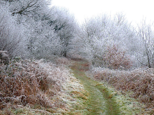

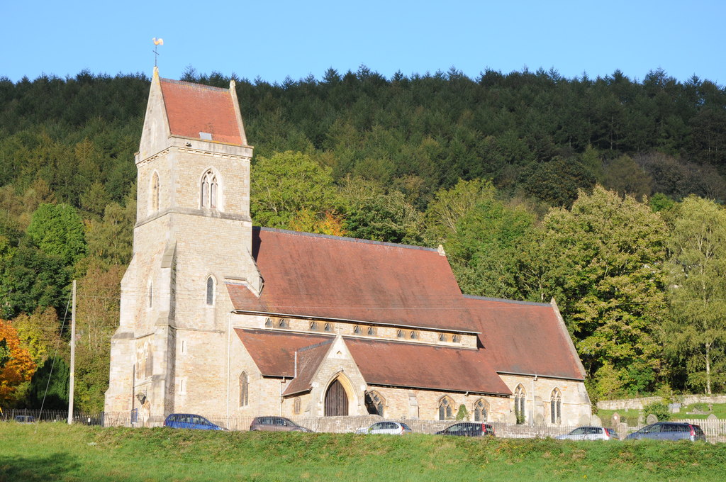
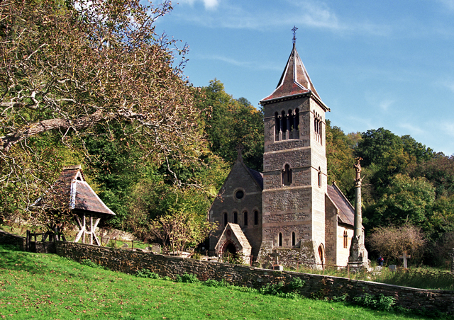


Why visit Lydbrook
Townapedia lists 4 museums and landmarks, 8 parks and trails, 4 places to eat, 3 places to stay and 3 attractions in and around town.
Highlights include Biblins Bridge, Dry Arch Bridge 300yds (270m) NE of St Giles' Church, Forest of Dean Sculpture Trail and Coppet Hill.
Weather in Lydbrook
Forecast from MET Norway (CC BY 4.0). Full forecast
About Lydbrook
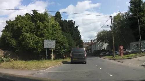
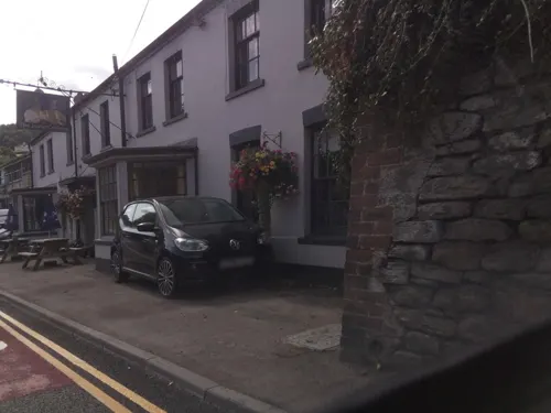
Lydbrook is a civil parish in the Forest of Dean, a local government district in the English county of Gloucestershire and is located in the Wye Valley. It is on the north west edge of the Forest of Dean's present legal boundary proper. It comprises the districts of Lower Lydbrook, Upper Lydbrook, Joys Green and Worrall Hill. It has a mile and a half long high street, reputed to be the longest high street of any village in England.
From the Wikipedia article Lydbrook (this version), under CC BY-SA 4.0.
Things to do3

Biblins Bridge
Bridge · 3.4 mi
Bridge in Wye Valley, spanning England and Wales, UK
Dry Arch Bridge 300yds (270m) NE of St Giles' Church
Bridge · 2.8 mi
Scheduled road bridge in Goodrich, Herefordshire, England, UK

Kerne Bridge
Bridge · 2.6 mi
Road bridge in Herefordshire, England, UK
Museums and landmarks4

Parks, trails and playgrounds8

Coppet Hill
Park · 2.3 mi
Nature reserve in Herefordshire, England, UK

Foxes Bridge Bog
Park · 2.6 mi
Nature reserve in Gloucestershire, England, UK


Restaurants and cafes4

History
In 1809 the Reverend Henry Berkin began his appointment as an assistant curate of the parish of Mitcheldean. Adjoining this parish were Forest areas which have since become the parishes of Drybrook and Lydbrook. Henry Berkin became concerned as to the plight of the Foresters "destitute of churches or ministers whom they could call their own". In 1812 he travelled around the areas of Forest adjoining his parish, visiting cottages where families would gather to hear him teach. Large crowds of up to 200, would gather in some places to hear him explaining the Holy scriptures.
Read more of the history
In 1814 Henry Berkin moved to a curacy at Weston-under-Penyard, but maintained a connection with the Forest. At Harry Hill, the Foresters encouraged him to build a large place for a regular meeting. After meeting with the Bishop Dr Ryder, Henry Berkin set about building a church, the Foresters could call their own and in 1817 Holy Trinity Church was built, serving both Drybrook and Lydbrook, Henry Berkin becoming the first perpetual curate (now styled 'Vicar'). The missionary work still continued in the cottages at Lydbrook, but it was not too long before Henry Berkin built a small mission chapel to serve Lydbrook in 1821, completed in 1822 (on the site of the present vicarage). The chapel functioned as a school, a place of worship, and as a place for social gatherings. It was served by the assistant priests appointed by Henry Berkin, with residence in Lydbrook. The salary of the curate at Lydbrook was at least in 1835, according to the records, supplied by a gentleman who was above 90 years of age. Lydbrook chapel was the fourth church in the Forest. (Upper Lydbrook being within the Forest boundary). The first church within the Forest was Christ Church in 1816. The second being Holy Trinity. The third church within the Forest was St Paul's, Park End completed at the beginning of 1822.
In the second decade of the 19th century, the Reverend William Woodall, Wesleyan Methodist minister of Monmouth had established a preaching circuit within the Forest of Dean and as part of this venture, a house was registered for worship in Lydbrook on 15 May 1813. Despite this early foothold, it took until 1864 to build a small chapel in Lower Lydbrook. The chapel was situated almost under the viaduct. From 1824, James Roles of the Oakengates Primitive Methodist circuit had established a circuit of cottage meetings at Pillowell, Lydbrook, Broad Oak, Little Birch, West Hide, Shecknal, Coppice Wood, Garroway Common, and Yorkley. The usual custom of the Primitive Methodists was to name the chapels after Old Testament place names. By 1828 the Primitive Methodists had built the 'Ebenezer Chapel' at Upper Lydbrook. It had the honour of being the first Methodist church in the Forest. It was first enlarged in 1852 (the same year the new parish church was opened). The year after, in 1853 Charles Dickens had published his 'Christmas Stories' containing the 'Christmas Carol' which portrayed the character 'Ebenezer Scrooge' associating the name with a foreboding character. The chapel was further enlarged bringing about the present building completed in 1912, with the name 'Ebenezer' being omitted. A second primitive Methodist chapel 'Mount Tabor' was built at the Reddings in 1862. Schoolrooms were added in 1892. The Wesleyan chapel closed in 1956. The congregation and cause of the Wesleyans had never been very large in Lydbrook. The redundant Wesleyan chapel served as a warehouse until its demolition in 1966. After 1934 with the Methodist Church Union all the chapels belonged to the same denomination and were served by the same minister and two chapels still served the area. Mount Tabor chapel closed in 1960 and was sold and is currently being turned into flats. Sadly on Sunday 28 July 1991 the last of the Methodist chapels in Lydbrook closed. One consolation was that the Sunday school – 'Sandra's group' as it was known, transferred to the parish church to become 'The Sunday Club'.
From the History section of Lydbrook on Wikipedia, under CC BY-SA 4.0.
Where to stay3
Churches and places of worship5
Gas and EV charging1
Schools, colleges and libraries3
Healthcare1
Map of Lydbrook
32 places. The map loads OpenStreetMap tiles when you open it.
Getting there and nearby towns
Gloucestershire Airport (GLO) is the nearest airport with scheduled flights listed in OpenStreetMap, 18 miles away.
- Cinderford 4 mi east, about 6 min by car
- Ross on Wye 5 mi north, about 9 min by car
- Monmouth 6 mi west, about 10 min by car
- Gloucester 14 mi east, about 23 min by car
- Chepstow 14 mi south, about 23 min by car
- Dursley 14 mi southeast, about 23 min by car
- Hereford 16 mi north, about 26 min by car
- Thornbury 16 mi south, about 26 min by car
- Stroud 17 mi east, about 28 min by car
- Churchdown 18 mi east, about 28 min by car
Drive times are estimates from straight-line distance, not routes.
Towns near Lydbrook


Keep exploring
Local news
Headlines from INDB.
Reviews, tips and questions
Loading what members have shared...
Sources and licences
- GeoNames (CC BY 4.0): population, coordinates, regions and time zone
- Mapillary (see each image): photos
- OpenStreetMap contributors (ODbL 1.0): places, airports, map data
- Wikidata (CC0 1.0): elevation, founding date, time zone, website, landmarks and historic places
- Wikimedia Commons (see each image): photos
- Wikipedia (CC BY-SA 4.0): overview and history text
Photo credits
- CoppetHill, Stuart Wilding, CC BY-SA 2.0
- Marsh Violet 218519527972, Miika Silfverberg, CC BY-SA 2.0
- Holy Jesus Church, Lydbrook, Philip Halling, CC BY-SA 2.0
- Church at Welsh Bicknor, Richard Baker, CC BY-SA 2.0
- Biblins Bridge in November 2013 - panoramio, Forester2009, CC BY-SA 3.0
- Old Severn ^ Wye Railway at Laymoor Quag - March 2013 - panoramio, Forester2009, CC BY-SA 3.0
- Street-level photo, southglos, CC BY-SA 4.0
- Street-level photo, southglos, CC BY-SA 4.0
- Street-level photo, southglos, CC BY-SA 4.0
- Street-level photo, southglos, CC BY-SA 4.0
- Street-level photo, southglos, CC BY-SA 4.0
- Street-level photo, southglos, CC BY-SA 4.0
- Street-level photo, southglos, CC BY-SA 4.0
- Street-level photo, southglos, CC BY-SA 4.0
- Street-level photo, southglos, CC BY-SA 4.0
Page built November 10, 2026. Spotted a mistake? Tell us or suggest a place.