


Why visit Longhope
Townapedia lists 2 museums and landmarks, 6 parks and trails, 6 places to eat and 4 attractions in and around town.
Highlights include Littledean Camp, International Centre for Birds of Prey and Plump Hill Dolomite Quarry.
Weather in Longhope
Forecast from MET Norway (CC BY 4.0). Full forecast
About Longhope
Longhope is a village in west Gloucestershire, situated within the Forest of Dean, England, United Kingdom. Arthur Bullock, who was born in Longhope in 1899, described its location as follows:
From the Wikipedia article Longhope (this version), under CC BY-SA 4.0.
Things to do4

Museums and landmarks2

Littledean Camp
Monument and historic site · 3.4 mi
Castle near Littledean, Gloucestershire, England, UK
Parks, trails and playgrounds6

International Centre for Birds of Prey
Park · 3.4 mi
Conservation centre in UK


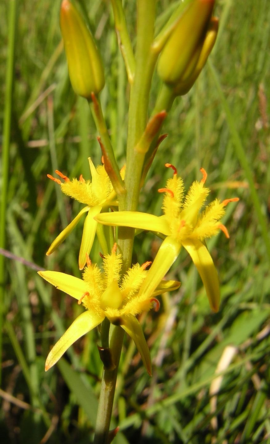
Edgehills Bog
Park · 2.8 mi
Nature reserve in Gloucestershire, England
Restaurants and cafes6


History
The village was inhabited by the 11th century and the manor of Hope is mentioned in the Domesday Book. The village parish church, dedicated to All Saints, dates back to Norman times. The arms of William III hang above the door and lower parts of the four-stage west tower are late Norman, as is one window. There exists also, in the north transept, an effigy of a priest which is dated to circa 1300. The porch and several windows are early 14th century. The church was extensively restored during the 1860s when the north vestries were added and the tower was partially rebuilt.
Opposite the church, Court Leet was once the local court with the adjacent half-timbered cottage being the gaol. Another house of historic interest is Royal Spring, where Charles I is said to have stopped for refreshment in 1642 after the Battle of Powick Bridge during the English Civil War.
Longhope station opened in 1855 with the line it was located on, being the Hereford, Ross and Gloucester Railway (part of the Great Western Railway) linking Ross-on-Wye and Grange Court and thence to Gloucester. Longhope station was used in season to export locally produced jam and fruit grown locally. The station had a passing loop on what was a single track. The station has been demolished but the waiting room still remains.
Read more of the history
A cameo description of life in Longhope before World War I is given in a memoir by Arthur Bullock. He fondly recalled, "I could hardly have chosen a better village to be born in than Longhope". Among the reasons he gave were that the houses were "sufficiently concentrated to give a sense of community and sufficiently scattered to give the citizens a sense of individuality". He alluded to the frequent services run by the Great Western Railway, but noted, "for shopping it was really not necessary to go outside the village as there were two good general stores with three small shops, two bakers, a post office, coal merchant, blacksmith and four public houses. He also records that later "Mrs Wright opened another general shop and news agency, and Mr C. Powell built a village hall which he called the Latchen Room. There was a cricket team, football team, tennis club and choral society."
Bullock's memoir provides a detailed account of life in Longhope at that time, including the role of James Constance and Sons as the chief employers in the village (whose workers included Bullock's father George and brother Wallace) and the profusion of other trades that were in operation, including hurdle making and wheelwrighting, and also records that the greatest fruit crop grown there were plums. The Bullocks were a characterful family, very active in village life. Other local families included the Carpenters, the Lanes, and the Halls, who were cartwrights. The village also had more than its fair share of eccentrics, including the churchwarden and builder, Feyther Field, who apparently would ride along on a bicycle carrying a ladder.
Bullock notes that there was a council school next to the Zion Baptist Chapel at the top of Hopes Hill, but he and his siblings went to Longhope Church School across the road from the church. Arthur described it as "one big room with a fire grate at one end"; toilet facilities were primitive and there were "no washing facilities but a tin bowl and a chunk of red carbolic soap". The schoolroom was bitterly cold, he recalled: there were times in winter that his feet were so cold that he could not feel them his hands so cold that he could only write with difficulty. However, he was full of admiration for the quality of education the pupils received from the schoolmaster and schoolmistress, Mr and Mrs Hill. The current village school, Hope Brook Church of England Primary School, was formed on 1 September 2001 by the amalgamation of the two earlier schools (Hopes Hill County Primary School and Longhope Church of England School). It is situated next to the recreation ground.
From the History section of Longhope on Wikipedia, under CC BY-SA 4.0.
Churches and places of worship5
Schools, colleges and libraries2
Map of Longhope
25 places. The map loads OpenStreetMap tiles when you open it.
Getting there and nearby towns
Gloucestershire Airport (GLO) is the nearest airport with scheduled flights listed in OpenStreetMap, 12 miles away.
- Cinderford 4 mi southwest, about 6 min by car
- Ross on Wye 6 mi northwest, about 10 min by car
- Lydbrook 6 mi west, about 9 min by car
- Gloucester 9 mi east, about 14 min by car
- Churchdown 12 mi east, about 19 min by car
- Monmouth 12 mi west, about 19 min by car
- Painswick 12 mi southeast, about 20 min by car
- Stroud 13 mi southeast, about 22 min by car
- Dursley 13 mi south, about 22 min by car
- Cheltenham 16 mi east, about 26 min by car
Drive times are estimates from straight-line distance, not routes.
Towns near Longhope


Keep exploring
Local news
Headlines from INDB.
Reviews, tips and questions
Loading what members have shared...
Sources and licences
- GeoNames (CC BY 4.0): population, coordinates, regions and time zone
- Mapillary (see each image): photos
- OpenStreetMap contributors (ODbL 1.0): places, airports, map data
- Wikidata (CC0 1.0): elevation, founding date, time zone, website, landmarks and historic places
- Wikimedia Commons (see each image): photos
- Wikipedia (CC BY-SA 4.0): overview and history text
Photo credits
- Jemima Parry-Jones with tawny eagle, AmosWolfe, CC BY-SA 3.0
- Narthecium ossifragum3, Aroche, CC BY 2.5
- St Michael, Blaisdon, Gloucestershire (2666600547), Robert Cutts from Bristol, England, UK, CC BY 2.0
- Street-level photo, southglos, CC BY-SA 4.0
- Street-level photo, russmcd, CC BY-SA 4.0
- Street-level photo, southglos, CC BY-SA 4.0
- Street-level photo, adam2, CC BY-SA 4.0
Page built November 10, 2026. Spotted a mistake? Tell us or suggest a place.