



Mitcheldean, United Kingdom
Mitcheldean is a town of 2,783 people in England, United Kingdom.
Why visit Mitcheldean
Townapedia lists 2 museums and landmarks, 5 parks and trails, 7 places to eat, 1 place to stay and 1 attraction in and around town.
Highlights include Lea Bailey Light Railway, Littledean Camp, Plump Hill Dolomite Quarry and Laymoor Quag.
Weather in Mitcheldean
Forecast from MET Norway (CC BY 4.0). Full forecast
About Mitcheldean
Mitcheldean is a market town in the Forest of Dean in Gloucestershire, England.
From the Wikipedia article Mitcheldean (this version), under CC BY-SA 4.0.
Things to do1

Museums and landmarks2


Littledean Camp
Monument and historic site · 3.2 mi
Castle near Littledean, Gloucestershire, England, UK
Parks, trails and playgrounds5



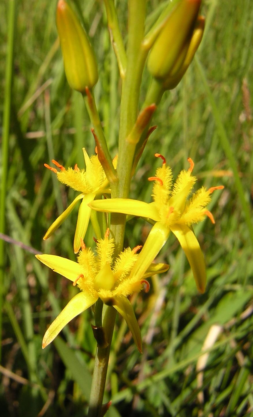
Edgehills Bog
Park · 1.9 mi
Nature reserve in Gloucestershire, England
Restaurants and cafes7



History
The name Mitcheldean derives from the Old English miceldenu meaning 'big valley'.
Mitcheldean was a thriving community for many centuries due to the town's proximity to iron ore deposits. During the 19th century, the town grew due to revenues produced by Wintles' Forest Brewery.
Like several of the Forest of Dean villages, Mitcheldean is a close-knit community with individual traditions. One of these was the locally famous (or infamous) Mitcheldean Prize Brass Band. It is vividly remembered and described in a memoir by Arthur Bullock, a resident of nearby Longhope, whose father and brothers were in it. Recounting the band's exploits, he comments, 'I only wish I could have been privileged to hear the Mitcheldean Prize Brass Band play when all of the players were fully sober at the same time'. However, it is indeed sobering to read his further reflection that the band must have been 'killed off by the 1914-18 war'.
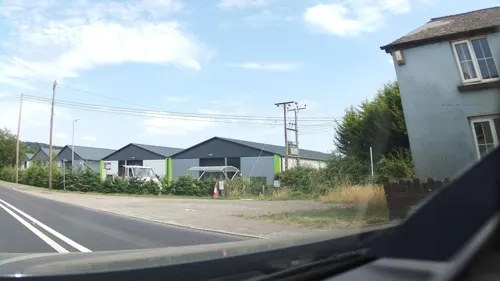
In the 20th century the town grew further due to the Rank Xerox photocopier factory. Although this industry significantly declined during the latter half of the 20th century, much of the former Rank Xerox site (now Vantage Point Business Village) is now occupied by small businesses, new manufacturing and distribution businesses.
From the History section of Mitcheldean on Wikipedia, under CC BY-SA 4.0.
Where to stay1
Churches and places of worship4
Gas and EV charging2
Schools, colleges and libraries3
Healthcare1
Map of Mitcheldean
26 places. The map loads OpenStreetMap tiles when you open it.
Getting there and nearby towns
Gloucestershire Airport (GLO) is the nearest airport with scheduled flights listed in OpenStreetMap, 14 miles away.
- Drybrook 1 mi southwest, about 2 min by car
- Longhope 2 mi east, about 3 min by car
- Cinderford 3 mi south, about 5 min by car
- Ruardean 3 mi west, about 4 min by car
- Huntley 4 mi east, about 6 min by car
- Lydbrook 4 mi southwest, about 7 min by car
- Ross on Wye 5 mi northwest, about 8 min by car
- Frampton on Severn 8 mi southeast, about 14 min by car
- Monmouth 10 mi west, about 16 min by car
- Gloucester 11 mi east, about 17 min by car
Drive times are estimates from straight-line distance, not routes.
Towns near Mitcheldean


Keep exploring
Local news
Headlines from INDB.
Reviews, tips and questions
Loading what members have shared...
Sources and licences
- GeoNames (CC BY 4.0): population, coordinates, regions and time zone
- Mapillary (see each image): photos
- OpenStreetMap contributors (ODbL 1.0): places, airports, map data
- Wikidata (CC0 1.0): elevation, founding date, time zone, website, landmarks and historic places
- Wikimedia Commons (see each image): photos
- Wikipedia (CC BY-SA 4.0): overview and history text
Photo credits
- Mitcheldean-town 011-edited, AmosWolfe, CC BY-SA 3.0
- Narthecium ossifragum3, Aroche, CC BY 2.5
- WR8 Locomotive entering Lea Bailey gold mine, AmosWolfe, CC BY-SA 4.0
- Old Severn ^ Wye Railway at Laymoor Quag - March 2013 - panoramio, Forester2009, CC BY-SA 3.0
- Street-level photo, southglos, CC BY-SA 4.0
- Street-level photo, southglos, CC BY-SA 4.0
- Street-level photo, southglos, CC BY-SA 4.0
- Street-level photo, southglos, CC BY-SA 4.0
Page built November 10, 2026. Spotted a mistake? Tell us or suggest a place.