

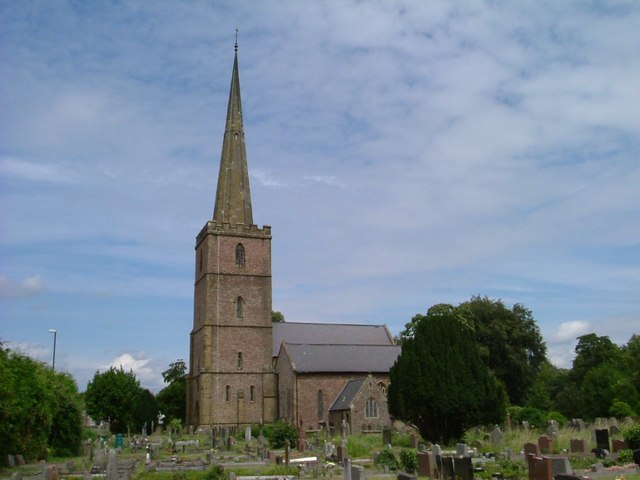


Why visit Lydney
Townapedia lists 6 museums and landmarks, 6 parks and trails, 31 places to eat, 2 places to stay and 1 attraction in and around town.
Highlights include Severn Railway Bridge, Lydney Park, Dean Forest Railway Museum and Nagshead.
Weather in Lydney
Forecast from MET Norway (CC BY 4.0). Full forecast
About Lydney
Lydney is a town and civil parish in Gloucestershire, England. It is on the west bank of the River Severn in the Forest of Dean District, and is 16 miles (25 km) southwest of Gloucester. The town has been bypassed by the A48 road since 1995. The population was 8,960 at the 2001 census, decreasing to 8,766 at the 2011 census, and increasing to 10,043 at the 2021 census.
From the Wikipedia article Lydney (this version), under CC BY-SA 4.0.
Travel tips from other travellers: Lydney on Wikivoyage (CC BY-SA 4.0).
Things to do1

Severn Railway Bridge
Bridge · 2.3 mi
Former bridge in United Kingdom
Museums and landmarks6



Purton Hulks
Monument and historic site · 2.8 mi
Number of abandoned boats and ships, deliberately beached on the banks of the River Severn, to reinforce the river banks
Parks, trails and playgrounds6





Restaurants and cafes31
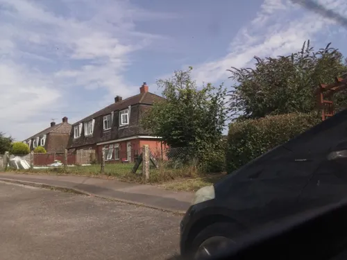
The George Inn
Bar and pub · 1.4 mi
The George Inn is located adjacent to The Millingbrook Lodge, where we serve a selection of fine locally sourced real ales along with...
High Street
24/7
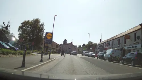
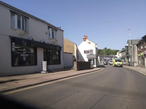



19 more on the map.
History
In the Iron Age a promontory fort was established at Lydney Park and later used for iron ore mining. In the late Roman period, a Roman temple to Nodens was built on the site of the fort.
In 1588 the Vice-Admiral of England Sir William Winter was granted the manor of Lydney in recognition of his services against the Spanish Armada. White Cross Manor, the house he built soon after he bought the manor, was burned down in 1645. In 1723 the Winter family sold their Lydney estate to the Bathurst family
In 1810, docks were constructed to capitalise on the town's location, close to the River Severn. The River Lyd flows through the town and into the Severn. In 1935, Charles Bathurst was created Viscount Bledisloe of Lydney upon his retirement as Governor-General of New Zealand. In 1940, the Pine End Works was built on Harbour Road, a Government run shadow factory producing plywood for the aircraft industry. On 31 August 1962, the Beatles played at Lydney Town Hall.
Read more of the history
In 1964 the town was the site of the Lydney Murder, a significant case in the history of the use of entomology to assist criminal investigations. On 28 June 1964 a body was found in woods near Bracknell. By studying the maggots found on the body, forensic entomologist Professor Keith Simpson was able to establish a date of death of around 16 June 1964. Missing persons records for that date led the police to believe that the body was that of Peter Thomas, who had gone missing from his home in Lydney. Fingerprints confirmed the identification. William Brittle, a business partner of Thomas, was convicted of the murder. The Lydney Murder was the subject of an episode of the Discovery Channel documentary: "Crime Museum UK with Martin Kemp".
From the History section of Lydney on Wikipedia, under CC BY-SA 4.0.
More about Lydney
Geography
The bedrock of Lydney and its environs is mostly sandstone of the St Maughans, Brownstones, Coleford and Cromhall formations, with Raglan formation mudstone in the east extending under the River Severn, different mudstone and limestone types to the west and Mercia mudstone to the south. The various types of bedrock date from the Silurian (from 423.6 million years ago (mya) for Raglan mudstone) through to the end of the Triassic and the beginning of the Jurassic periods (201.3 mya for Mercia mudstone). Lower-lying areas are overlain by Quaternary period deposits, sand and gravel (up to 2.588 mya, such as under Church Road and Bathurst Park) and the more recent estuarine alluvium of the Lydney Level, with some also from the Lyd, Plummer's Brook to the east and other brooks (up to 11.8 thousand years ago (the beginning of the Holocene epoch), such as under Swan Road, Regent Street, Lydney Recreation Ground and the east-west railway line. Elevations range from 7 metres at the ponds south of the A48 to over 150 metres around Brockhollands and north of Allaston.
Arts and culture
Lydney Park is the site of a Romano-British Roman Temple and was an Iron Age hillfort. It also has gardens which are open to the public for a limited period each spring.
Taurus Crafts, which also occupies a section of the Lydney Park estate, is a Camphill community and popular visitor destination comprising a variety of craft shops and café.
From the Wikipedia article Lydney, under CC BY-SA 4.0.
Notable people from Lydney
 Wayne BarnesEnglish retired rugby union refereePhoto: www.davidmolloyphotography.com from..., CC BY 2.0
 Richard ThomasBishop of Willochra, born 1881 (1881–1958)Photo: Unknown author Unknown author, Public domain
 Andrew LewisBritish paratriathletePhoto: Foreign, Commonwealth & Development Office, CC BY 2.0
 Paul NichollsBritish jockey and trainerPhoto: Carine06 from UK, CC BY-SA 2.0
- Steve JamesEnglish rugby union footballer and cricketer (born 1967)
- Christopher HerbertBishop of St Albans (born 1944)
- Steve SmithEnglish footballer (born 1957)
- Lionel Beaumont ThomasBritish Army officer and Conservative Member of Parliament (1893-1942)
Born in Lydney, according to Wikidata (CC0). Each name links to its Wikipedia article.
Where to stay2
Churches and places of worship6
Shopping6
Gas and EV charging2
Schools, colleges and libraries6
Healthcare1
Map of Lydney
67 places. The map loads OpenStreetMap tiles when you open it.
Getting there and nearby towns
Gloucestershire Airport (GLO) is the nearest airport with scheduled flights listed in OpenStreetMap, 19 miles away.
- Bream 3 mi northwest, about 4 min by car
- Berkeley 4 mi southeast, about 6 min by car
- Cinderford 7 mi north, about 11 min by car
- Dursley 8 mi southeast, about 13 min by car
- Thornbury 8 mi south, about 13 min by car
- Frampton on Severn 8 mi northeast, about 12 min by car
- Lydbrook 8 mi north, about 13 min by car
- Chepstow 9 mi southwest, about 14 min by car
- Charfield 9 mi southeast, about 14 min by car
- Monmouth 10 mi northwest, about 16 min by car
Drive times are estimates from straight-line distance, not routes.
Towns near Lydney


Keep exploring
Local news
Headlines from INDB.
Reviews, tips and questions
Loading what members have shared...
Sources and licences
- GeoNames (CC BY 4.0): population, coordinates, regions and time zone
- Mapillary (see each image): photos
- OpenStreetMap contributors (ODbL 1.0): places, airports, map data
- Wikidata (CC0 1.0): elevation, founding date, time zone, website, landmarks and historic places
- Wikimedia Commons (see each image): photos
- Wikipedia (CC BY-SA 4.0): overview and history text
Photo credits
- Nagshead 032, Obscurasky, CC0
- Lydney church, Alf Beard, CC BY-SA 2.0
- Lydney Roman temple, the tripartite cella, Richard Keatinge, CC BY-SA 4.0
- Primrose Hill from Bathurst Park - July 2011 - panoramio, Forester2009, CC BY-SA 3.0
- Severn trow wreck at Lydney Harbour, Andy Dingley, CC BY-SA 3.0
- Street-level photo, southglos, CC BY-SA 4.0
- Street-level photo, southglos, CC BY-SA 4.0
- Street-level photo, southglos, CC BY-SA 4.0
- Street-level photo, southglos, CC BY-SA 4.0
- Street-level photo, southglos, CC BY-SA 4.0
- Street-level photo, southglos, CC BY-SA 4.0
- Street-level photo, southglos, CC BY-SA 4.0
- Street-level photo, southglos, CC BY-SA 4.0
- Street-level photo, southglos, CC BY-SA 4.0
- Street-level photo, southglos, CC BY-SA 4.0
- Street-level photo, southglos, CC BY-SA 4.0
- Street-level photo, southglos, CC BY-SA 4.0
- Street-level photo, southglos, CC BY-SA 4.0
- Street-level photo, southglos, CC BY-SA 4.0
- Street-level photo, southglos, CC BY-SA 4.0
- Street-level photo, southglos, CC BY-SA 4.0
- Street-level photo, southglos, CC BY-SA 4.0
- Street-level photo, southglos, CC BY-SA 4.0
- Street-level photo, southglos, CC BY-SA 4.0
- Street-level photo, southglos, CC BY-SA 4.0
- Street-level photo, southglos, CC BY-SA 4.0
Page built November 10, 2026. Spotted a mistake? Tell us or suggest a place.