


Collingham, United Kingdom
Collingham is a town of 3,033 people in England, United Kingdom.
Why visit Collingham
Townapedia lists 6 museums and landmarks, 5 parks and trails, 24 places to eat, 3 places to stay and 7 attractions in and around town.
Highlights include Collingham Bridge, Linton Bridge, Bramham Park and Dalton Parlours Roman villa and Iron Age settlement.
Weather in Collingham
Forecast from MET Norway (CC BY 4.0). Full forecast
About Collingham
Collingham is a village and civil parish 2 miles (3 km) south-west of Wetherby in West Yorkshire, England. It is in the City of Leeds metropolitan borough. The population of the civil parish as of the 2011 census was 2,991.
From the Wikipedia article Collingham, West Yorkshire (this version), under CC BY-SA 4.0.
Photos of Collingham

Things to do7
Collingham Bridge
Bridge
Bridge in Collingham, Leeds, West Yorkshire, England, UK

Linton Bridge
Bridge
Bridge in Collingham, Leeds, West Yorkshire, England, UK

Thorp Arch Bridge
Bridge · 2.8 mi
Bridge in Thorp Arch, Leeds, West Yorkshire, England, UK

Wetherby Bridge
Bridge · 1.5 mi
Bridge in Wetherby, West Yorkshire, England, UK

Wetherby Film Theatre
Cinema and theater · 1.5 mi
Caxton Street, Wetherby

Museums and landmarks6

Bramham Park
Museum · 3.1 mi
Grade I listed historic house museum in Bramham cum Oglethorpe, Leeds, West Yorkshire, England, UK

Dalton Parlours Roman villa and Iron Age settlement
Monument and historic site · 1.4 mi
Archaeological site in Collingham, Leeds, West Yorkshire, England, UK
Wetherby Bridge (Over River Wharfe) With Attached War Memorial
Monument and historic site · 1.5 mi
War memorial in Wetherby, Leeds, West Yorkshire, England, UK


Parks, trails and playgrounds5




Restaurants and cafes24

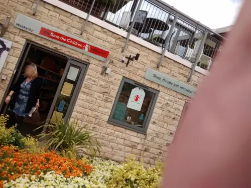




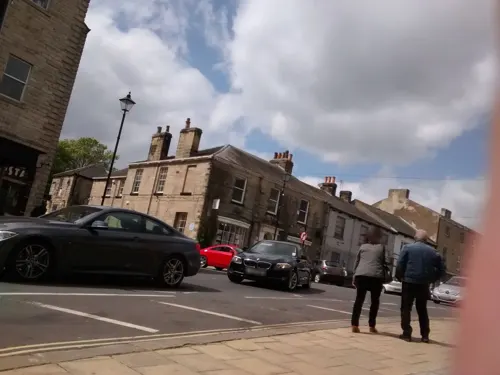


12 more on the map.
More about Collingham
Geography
The village is at the junction of the A58 and A659 roads. It is separated from Linton to the north by the River Wharfe and linked to it via Linton Bridge. Wetherby to the north east is accessed via Linton or the A58 road from Leeds. The A659 road to Harewood crosses the Collingham Beck, a tributary of the Wharfe, over the listed Collingham Bridge. To the east is access to the A1(M) motorway and Boston Spa.
Collingham has had problems with flooding and was affected by the 2007 UK Floods. Collingham Beck has a tendency to swell very quickly. During the 2007 UK Floods it flooded Millbeck Green and the A58 Leeds Road reaching the boundaries of the Half Moon and Old Star public houses.
Shortly after 18:00 (BST) 26 December 2015, the monitoring station at Collingham for the River Wharfe reached a record high of 5.25 metres (17.2 ft) above ordnance datum (previous high level was 4.7 metres [15 ft] AOD). Linton Bridge was damaged in the flood cracks appeared in the deck and its parapets sagged. The grade II listed bridge was closed to all traffic for repairs until September 2017. The time and the £5 million cost of the project was due to the fact that the ground underneath the piers had shifted the bridge.
From the Wikipedia article Collingham, West Yorkshire, under CC BY-SA 4.0.
Where to stay3
Churches and places of worship14
Church of St Mary Immaculate (Rc), With Presbytery And Former Monastery Attached
Church · 2.0 mi
Shopping3
Schools, colleges and libraries2
Collingham Lady Elizabeth Hastings Church of England Voluntary Aided Primary School
School · Anglican
Linton Road, Wetherby
Healthcare1
Map of Collingham
65 places. The map loads OpenStreetMap tiles when you open it.
Getting there and nearby towns
Leeds Bradford Airport (LBA) is the nearest airport with scheduled flights listed in OpenStreetMap, 11 miles away.
- Wetherby 2 mi northeast, about 2 min by car
- East Keswick 2 mi southwest, about 3 min by car
- Bramham 3 mi southeast, about 5 min by car
- Spofforth 3 mi northwest, about 5 min by car
- Scarcroft 3 mi southwest, about 6 min by car
- Thorner 4 mi south, about 6 min by car
- Thorp Arch 4 mi east, about 6 min by car
- Shadwell 5 mi southwest, about 7 min by car
- Pannal 6 mi northwest, about 10 min by car
- Harrogate 7 mi northwest, about 12 min by car
Drive times are estimates from straight-line distance, not routes.
Towns near Collingham


Keep exploring
Local news
Headlines from INDB.
Reviews, tips and questions
Loading what members have shared...
Sources and licences
- GeoNames (CC BY 4.0): population, coordinates, regions and time zone
- Mapillary (see each image): photos
- OpenStreetMap contributors (ODbL 1.0): places, airports, map data
- Wikidata (CC0 1.0): elevation, founding date, time zone, website, landmarks and historic places
- Wikimedia Commons (see each image): photos
- Wikipedia (CC BY-SA 4.0): overview and history text
Photo credits
- St. Oswald's Church, Collingham, West Yorkshire (1st April 2014) 008, Mtaylor848, CC BY-SA 3.0
- Manor House Barn, Collingham, Jonathan Thacker, CC BY-SA 2.0
- Wharfe-linton, en:User:CiaranG, Public domain
- Boston Spa bridge in 2007, Gordon Hatton, CC BY-SA 2.0
- All Saints Church, Kirk Deighton (Taken by Flickr user 17th June 2012), Flickr user: Tim Green aka atouch, CC BY 2.0
- Church of the Immaculate Conception, Sicklinghall (9th August 2017) 004, Mtaylor848, CC BY-SA 4.0
- Boston Spa Methodist Church (March 2010) 005, Mtaylor848, CC BY-SA 3.0
- St. Mary the Virgin Church, Boston Spa (12th January 2014) 001, Mtaylor848, CC BY-SA 3.0
- St Oswald's Church, Collingham, West Yorkshire viewed from the South West (Taken by Flickr user 17th June 2012), Flickr user:Tim Green aka atouch, CC BY 2.0
- Wetherby Methodist Church (31st March 2014), Mtaylor848, CC BY-SA 3.0
- Wetherby Cinema, Mtaylor848, CC BY-SA 3.0
- Grange Park, Wetherby (13th December 2013) 010, Mtaylor848, CC BY-SA 3.0
- The Brunswick, Richard Locket, CC BY-SA 4.0
- Wetherby Library (29769118701), Libraries Taskforce, CC BY 2.0
- Crown Inn, High Street, Wetherby (16th October 2020), Mtaylor848, CC BY-SA 4.0
- Red Lion, High Street, Wetherby (16th December 2020), Mtaylor848, CC BY-SA 4.0
- Windmill Inn, Main Street, Linton (Taken by Flickr user 17th June 2012), Flickr user: Tim Green aka atouch, CC BY 2.0
- Wetherby War Memorial (1), OAnick, CC BY-SA 3.0
- Dalton parlours mosaic, York Museums Trust, CC BY-SA 4.0
- Linton bridge with the river quite high, Beep boop beep, CC BY-SA 4.0
- Wetherby Bridge (Over River Wharfe) With Attached War Memorial, Richard Locket, CC BY-SA 4.0
- Bramham Park Chapel, Paul Brooker, CC BY-SA 2.0
- Jubilee Gardens, Wetherby (24th August 2026) 003, Mtaylor848, CC BY-SA 3.0
- Bengal Lounge, High Street, Wetherby (4th August 2026), Mtaylor848, CC BY-SA 3.0
- Street-level photo, southglos, CC BY-SA 4.0
- Street-level photo, lvl5, CC BY-SA 4.0
- Street-level photo, laye, CC BY-SA 4.0
- Street-level photo, southglos, CC BY-SA 4.0
- Street-level photo, ljasq, CC BY-SA 4.0
- Street-level photo, futurefjp, CC BY-SA 4.0
- Street-level photo, ljasq, CC BY-SA 4.0
- Street-level photo, lvl5, CC BY-SA 4.0
- Street-level photo, southglos, CC BY-SA 4.0
- Street-level photo, lamaar639, CC BY-SA 4.0
- Street-level photo, ljasq, CC BY-SA 4.0
- Street-level photo, lamaar639, CC BY-SA 4.0
- Street-level photo, humez, CC BY-SA 4.0
- Street-level photo, laye, CC BY-SA 4.0
- Street-level photo, southglos, CC BY-SA 4.0
- Street-level photo, lamaar639, CC BY-SA 4.0
- Street-level photo, ljasq, CC BY-SA 4.0
- Street-level photo, lvl5, CC BY-SA 4.0
- Street-level photo, ljasq, CC BY-SA 4.0
- Street-level photo, southglos, CC BY-SA 4.0


Page built November 10, 2026. Spotted a mistake? Tell us or suggest a place.