




Why visit Thorner
Townapedia lists 8 museums and landmarks, 4 parks and trails, 7 places to eat and 3 attractions in and around town.
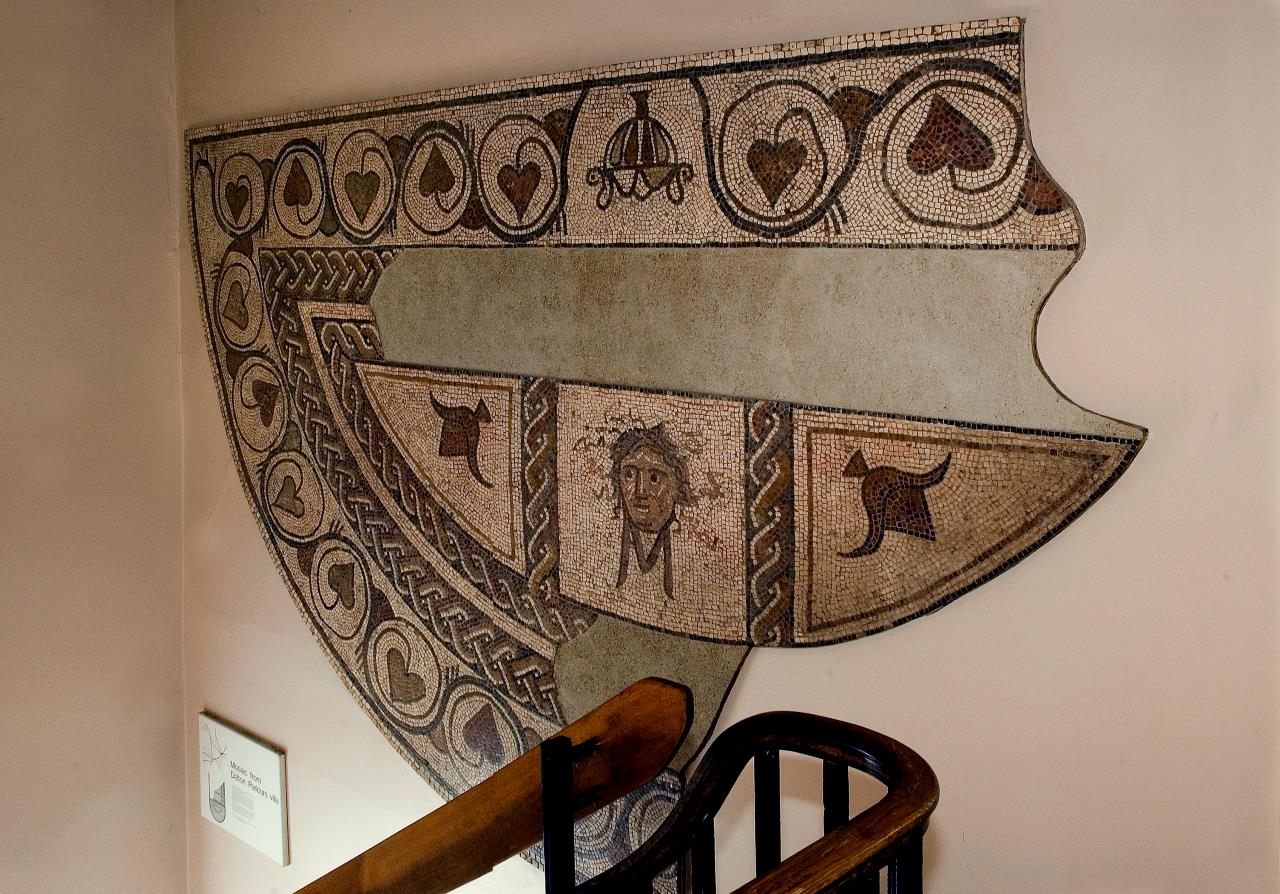
Highlights include Collingham Bridge, Bramham Park, Dalton Parlours Roman villa and Iron Age settlement and Roundhay Park.
Weather in Thorner
Forecast from MET Norway (CC BY 4.0). Full forecast
About Thorner
Thorner is a rural village and civil parish in the City of Leeds in West Yorkshire, England, located between Seacroft and Wetherby. It had a population of 1,646 at the 2011 Census.
From the Wikipedia article Thorner (this version), under CC BY-SA 4.0.
Things to do3
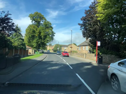
Collingham Bridge
Bridge · 3.3 mi
Bridge in Collingham, Leeds, West Yorkshire, England, UK

Museums and landmarks8

Bramham Park
Museum · 2.0 mi
Grade I listed historic house museum in Bramham cum Oglethorpe, Leeds, West Yorkshire, England, UK

Dalton Parlours Roman villa and Iron Age settlement
Monument and historic site · 2.9 mi
Archaeological site in Collingham, Leeds, West Yorkshire, England, UK

Aberford Dykes
Monument and historic site · 2.9 mi
Series of archaeological earthworks
Battle of Seacroft Moor
Monument and historic site · 1.3 mi
Part of the English Civil War; decisive Royalist victory
Parks, trails and playgrounds4

Roundhay Park
Park · 3.0 mi
Park in Roundhay, Leeds, West Yorkshire, England, UK


Restaurants and cafes7
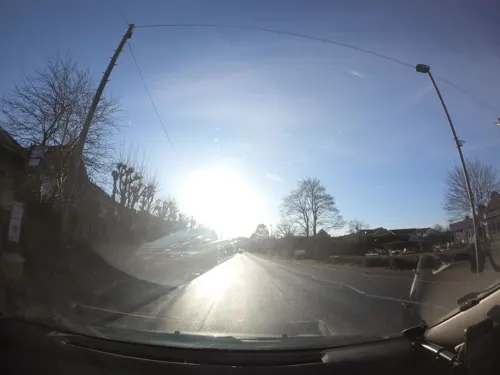
The Inn
Bar and pub · 1.1 mi
Wetherby Road, Leeds
Mo-We 11:30-22:00; Th-Sa 11:30-23:00; Su 11:30-22:00



History
There is archaeological evidence of Bronze Age and Anglo-Saxon settlements, while the name St Osyth's Well, just west of the church, refers to a Viking Age saint.
The ancient parish of Thorner covered 4,400 acres (1,800 ha) in the wapentake of Skyrack in the West Riding of Yorkshire. The parish included the townships of Scarcroft and Shadwell, which became separate civil parishes in 1866.
In 1245 it acquired a market, and the area around Main Street shows a typical Medieval layout of strips leading from a market street. The base of a medieval market cross is on Butts Garth. As well as farming, pottery was a local industry in the Middle Ages, supplanted by the textile industry in the 18th and 19th centuries.
Read more of the history
Thorner railway station (which also served nearby Scarcroft and was originally called Thorner & Scarcroft, opened 1876 and closed 1964 under the Beeching cuts and was demolished and the area developed into housing. It was on the Cross Gates to Wetherby Line, which thereby gave access to Leeds and Harrogate, with some services running between these two extremes. This resulted in an increase in housing and a more widespread distribution of agricultural and industrial products with a substantial number of shops. The end of the annual agricultural show in 1924 indicates the lesser importance of farming to the community. However, from the 1950s local businesses declined as the village population increasingly commuted to larger centres such as Leeds.
The former Bishop's House at Eltofts, to the west of Thorner, was the Dower House of the Earls of Mexborough.
In 1970 the main part was designated a Conservation Area by Leeds City Council: in 2009 the area was extended to include the area of Sandhills to the south. This has essentially limited industrial development and restricted new housing to the surroundings. Many of the properties on Main Street are listed buildings along with St Peter's Church (grade II).
The church of St Peter is built in the later English gothic style and has a square embattled tower. In the graveyard is the memorial to John Philips, who lived to 118 years. A school was built by subscription in 1787, and is now the Parish Centre. Two former Methodist churches in Thorner are now closed, the nineteenth-century former chapel having been converted to flats.
From the History section of Thorner on Wikipedia, under CC BY-SA 4.0.
More about Thorner
Geography
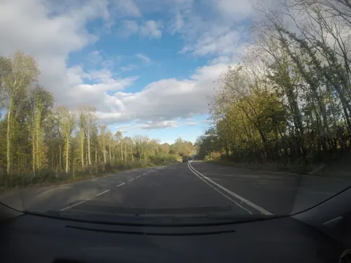
Thorner is situated close to the A1, A58 and A64 trunk roads. It is 8 miles (13 km) north-east of Leeds city centre and 7 miles (11 km) to the south-west of Wetherby. The underlying rock is limestone, some of which was burnt into lime and flagstone and slates were quarried.
Travel to and from the village by public transport is via the number 7 bus route (operated by the Transdev Harrogate & District bus company). The journey takes roughly half an hour from Leeds, 20 minutes from Wetherby and an hour from Harrogate.
From the Wikipedia article Thorner, under CC BY-SA 4.0.
Notable people from Thorner
- Sir Thomas Nussey, 1st BaronetBritish politician (1868-1947)
Born in Thorner, according to Wikidata (CC0). Each name links to its Wikipedia article.
Churches and places of worship7
Schools, colleges and libraries1
Map of Thorner
30 places. The map loads OpenStreetMap tiles when you open it.
Getting there and nearby towns
Leeds Bradford Airport (LBA) is the nearest airport with scheduled flights listed in OpenStreetMap, 9 miles away.
- Wetherby 5 mi north, about 8 min by car
- Chapel Allerton 5 mi southwest, about 8 min by car
- Garforth 5 mi south, about 8 min by car
- Thorp Arch 6 mi northeast, about 9 min by car
- Leeds 7 mi southwest, about 11 min by car
- Kippax 7 mi south, about 11 min by car
- Horsforth 9 mi west, about 14 min by car
- Harrogate 10 mi northwest, about 16 min by car
- Castleford 10 mi south, about 16 min by car
- Lofthouse 10 mi south, about 15 min by car
Drive times are estimates from straight-line distance, not routes.
Towns near Thorner


Keep exploring
Local news
Headlines from INDB.
Reviews, tips and questions
Loading what members have shared...
Sources and licences
- GeoNames (CC BY 4.0): population, coordinates, regions and time zone
- Mapillary (see each image): photos
- OpenStreetMap contributors (ODbL 1.0): places, airports, map data
- Wikidata (CC0 1.0): elevation, founding date, time zone, website, landmarks and historic places
- Wikimedia Commons (see each image): photos
- Wikipedia (CC BY-SA 4.0): overview and history text
Photo credits
- Thorner Church, Mtaylor848 ( talk ), CC BY-SA 3.0
- Seacroft parish church, User:Gunnar Larsson, CC BY-SA 3.0
- St Peter Church and Yard, Thorner, Tim Green, CC BY 2.0
- Dalton parlours mosaic, York Museums Trust, CC BY-SA 4.0
- Bramham Park Chapel, Paul Brooker, CC BY-SA 2.0
- The Castle, Roundhay Park, Stevekraken, CC BY-SA 4.0
- The Big Breakfast and Three Vegan Sausages Breakfast Sandwich by Café Arium, Andy Li, CC0
- Street-level photo, lamaar639, CC BY-SA 4.0
- Street-level photo, mapz4lolz, CC BY-SA 4.0
- Street-level photo, laye, CC BY-SA 4.0
- Street-level photo, lamaar639, CC BY-SA 4.0
Page built November 10, 2026. Spotted a mistake? Tell us or suggest a place.