


Thorp Arch, United Kingdom
Thorp Arch is a town of 1,505 people in England, United Kingdom.
Why visit Thorp Arch
Townapedia lists 16 museums and landmarks, 2 parks and trails, 23 places to eat, 1 place to stay and 3 attractions in and around town.
Highlights include Tadcaster Bridge, Thorp Arch Bridge, Dalton Parlours Roman villa and Iron Age settlement and Wetherby Bridge (Over River Wharfe) With Attached War Memorial.
Weather in Thorp Arch
Forecast from MET Norway (CC BY 4.0). Full forecast
About Thorp Arch
Thorp Arch is a village and civil parish near Wetherby in the City of Leeds metropolitan borough of West Yorkshire, England.
From the Wikipedia article Thorp Arch (this version), under CC BY-SA 4.0.
Photos of Thorp Arch


Things to do3

Tadcaster Bridge
Bridge · 3.2 mi
Historic bridge in Tadcaster, North Yorkshire, England, UK

Thorp Arch Bridge
Bridge · 1.2 mi
Bridge in Thorp Arch, Leeds, West Yorkshire, England, UK

Wetherby Bridge
Bridge · 2.8 mi
Bridge in Wetherby, West Yorkshire, England, UK
Museums and landmarks16

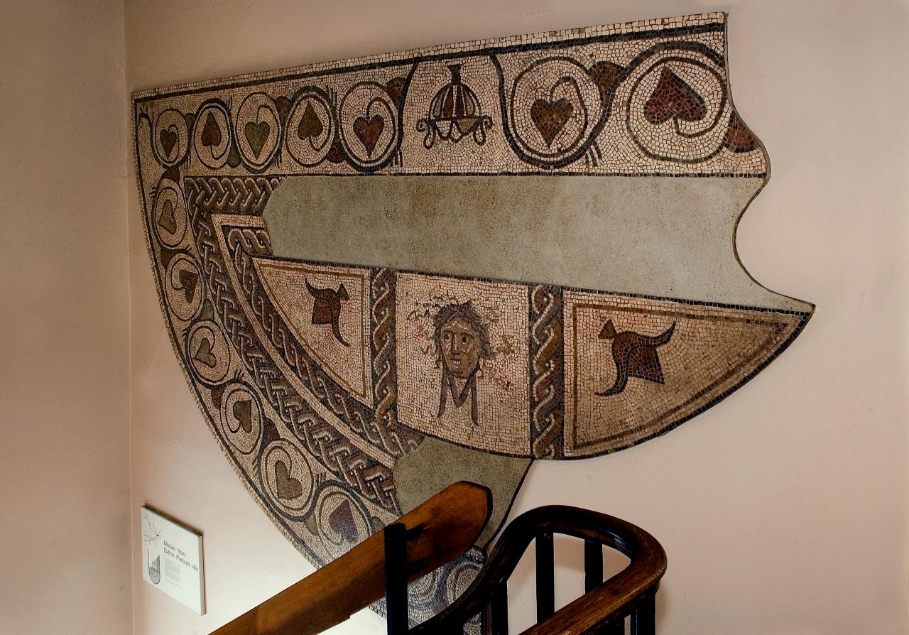
Dalton Parlours Roman villa and Iron Age settlement
Monument and historic site · 3.1 mi
Archaeological site in Collingham, Leeds, West Yorkshire, England, UK
Wetherby Bridge (Over River Wharfe) With Attached War Memorial
Monument and historic site · 2.8 mi
War memorial in Wetherby, Leeds, West Yorkshire, England, UK

Action Karts
Monument and historic site
Indoor go-kart track. Note: website no longer exists. Closed?
Avenue C, Wetherby
Adaman Graves
Monument and historic site · 1.4 mi
Two inhumation burials with Roman third and fourth century AD pottery and metal finds
Roman Fort - Praesidium
Monument and historic site · 1.0 mi
Roman fort, possibly Praesidium.
Roman Vicus
Monument and historic site · 1.3 mi
A vicus is a settlement that developed in association with a Roman military centre
4 more on the map.
Parks, trails and playgrounds2


Restaurants and cafes23




11 more on the map.
More about Thorp Arch
Geography
The village is on the north bank of the River Wharfe which separates it from Boston Spa to the south. It has a primary school and public house. Historically the parish of Thorp Arch was in the Ainsty, a division of Yorkshire, separate from the ridings. It had a population of 1,123 in 2001, increasing to 1,591 at the 2011 census. The parish church of All Saints was founded in the 12th century. It has a 15th-century tower but the rest was built in 1871 and 1872. It is a Grade II listed building.
The village is adjacent to Thorp Arch Trading Estate, Wealstun Prison, and the British Library Document Supply Centre.
From the Wikipedia article Thorp Arch, under CC BY-SA 4.0.
Where to stay1
Churches and places of worship17
Shopping2
Gas and EV charging1
Schools, colleges and libraries4
St Mary's Church of England Controlled Primary School
School · Anglican · 1.5 mi
Clifford Road, Wetherby
Healthcare1
Map of Thorp Arch
70 places. The map loads OpenStreetMap tiles when you open it.
Getting there and nearby towns
Leeds Bradford Airport (LBA) is the nearest airport with scheduled flights listed in OpenStreetMap, 14 miles away.
- Wetherby 3 mi west, about 5 min by car
- Knaresborough 9 mi northwest, about 14 min by car
- Garforth 9 mi south, about 14 min by car
- Linton upon Ouse 9 mi north, about 15 min by car
- York 10 mi east, about 16 min by car
- Harrogate 10 mi northwest, about 16 min by car
- Kippax 11 mi south, about 17 min by car
- Chapel Allerton 11 mi southwest, about 17 min by car
- Leeds 12 mi southwest, about 20 min by car
- Haxby 12 mi northeast, about 20 min by car
Drive times are estimates from straight-line distance, not routes.
Towns near Thorp Arch


Keep exploring
Local news
Headlines from INDB.
Reviews, tips and questions
Loading what members have shared...
Sources and licences
- GeoNames (CC BY 4.0): population, coordinates, regions and time zone
- Mapillary (see each image): photos
- OpenStreetMap contributors (ODbL 1.0): places, airports, map data
- Wikidata (CC0 1.0): elevation, founding date, time zone, website, landmarks and historic places
- Wikimedia Commons (see each image): photos
- Wikipedia (CC BY-SA 4.0): overview and history text
Photo credits
- Tadcaster Bridge, Tim Green, CC BY 2.0
- Boston Spa bridge in 2007, Gordon Hatton, CC BY-SA 2.0
- Wighill Church, DS Pugh, CC BY-SA 2.0
- Boston Spa Methodist Church (March 2010) 005, Mtaylor848, CC BY-SA 3.0
- Boston Spa Library, Tim Green, CC BY 2.0
- Dalton parlours mosaic, York Museums Trust, CC BY-SA 4.0
- Atlas of Brutalist Architecture - editions 1 and 2 (cropped), ChrysGalley, Public domain
- Atlas of Brutalist Architecture - editions 1 and 2, ChrysGalley, Public domain
- Wetherby Bridge (Over River Wharfe) With Attached War Memorial, Richard Locket, CC BY-SA 4.0
- Street-level photo, lamaar639, CC BY-SA 4.0
Page built November 10, 2026. Spotted a mistake? Tell us or suggest a place.